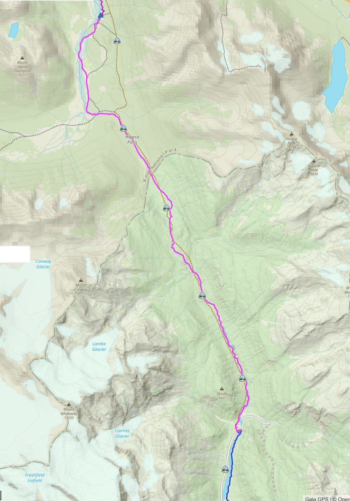
Day 5, August 12th, Cairnes Creek Rec Site David Thompson TH to Random Camp Howse Flood Plain, 21 km, 482 m elevation gain, 325 m elevation loss, 9 hrs 35 min, Segment 23.

My journal entry for day 5 reads “Oh what a day, hard to believe that it all happened in one day. The morning seems so long ago.“
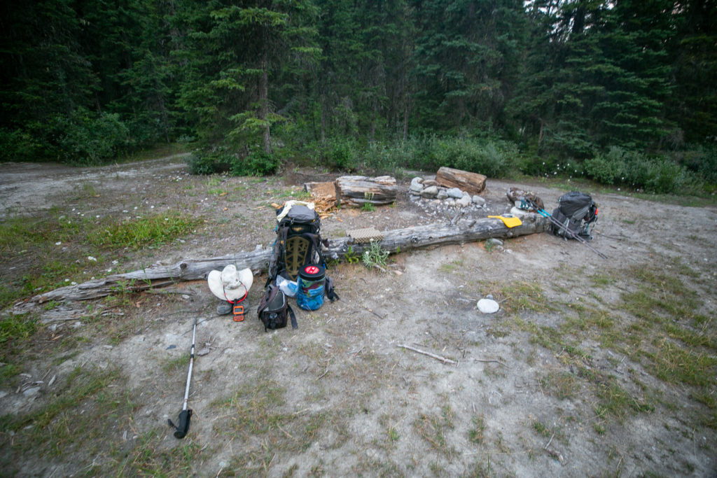
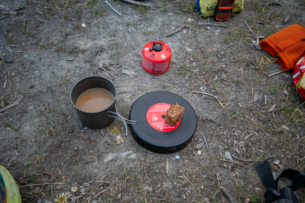
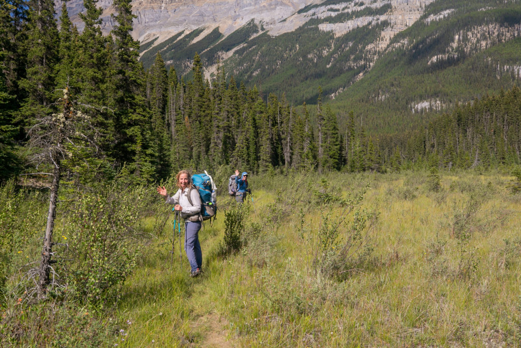
Woke up to a cool morning and damp pants. Had the tent all packed up by 6:20 am and coffee was ready by 6:45 am. I had a relaxing breakfast sitting on the log in the eating area. We rolled out of camp at 7:30 am with our first task finding some water. This was a little ironic as we were camped on the banks of the Blaeberry River but the river was extremely silty.
As we headed out of camp Lillian and Sara told me that they decided to hike with me all the way to Mistaya Canyon and finish their hike a day early. We decided that we would camp at Horse Camp on the Howse Flood Plain. This would be a little short of what I had planned but it ended up be a great choice. I texted Laura using my Spot X to alter my pick up time tomorrow at Mistaya Canyon to 4 pm.
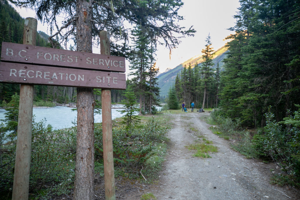
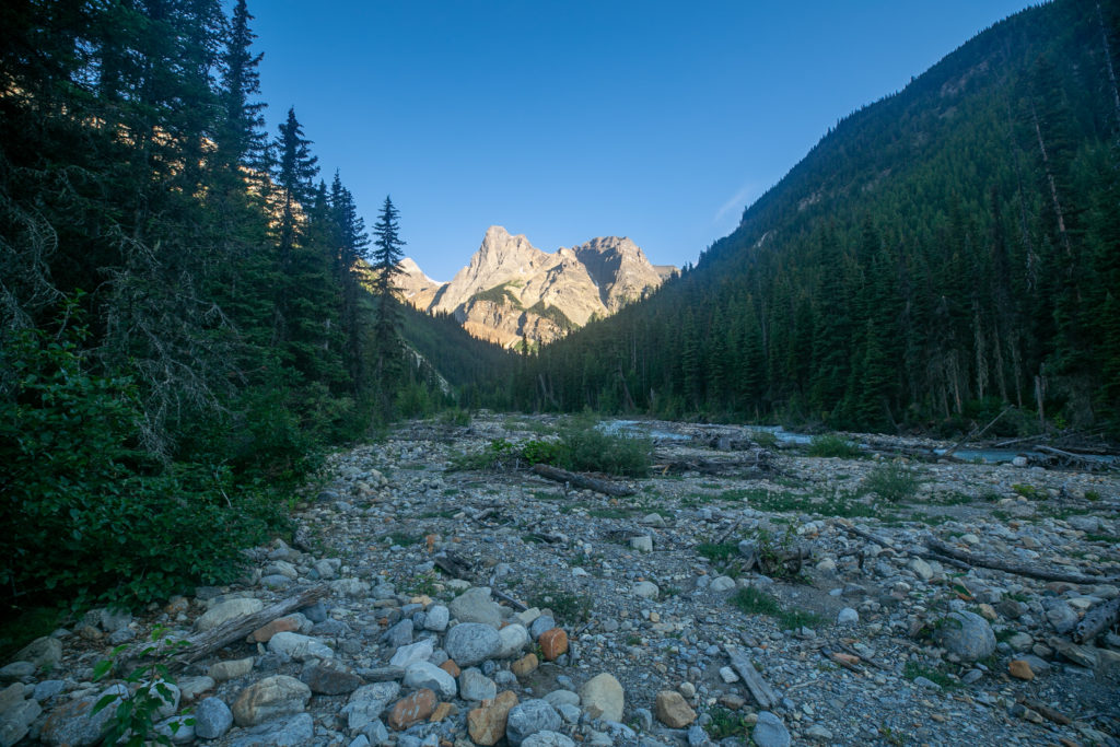
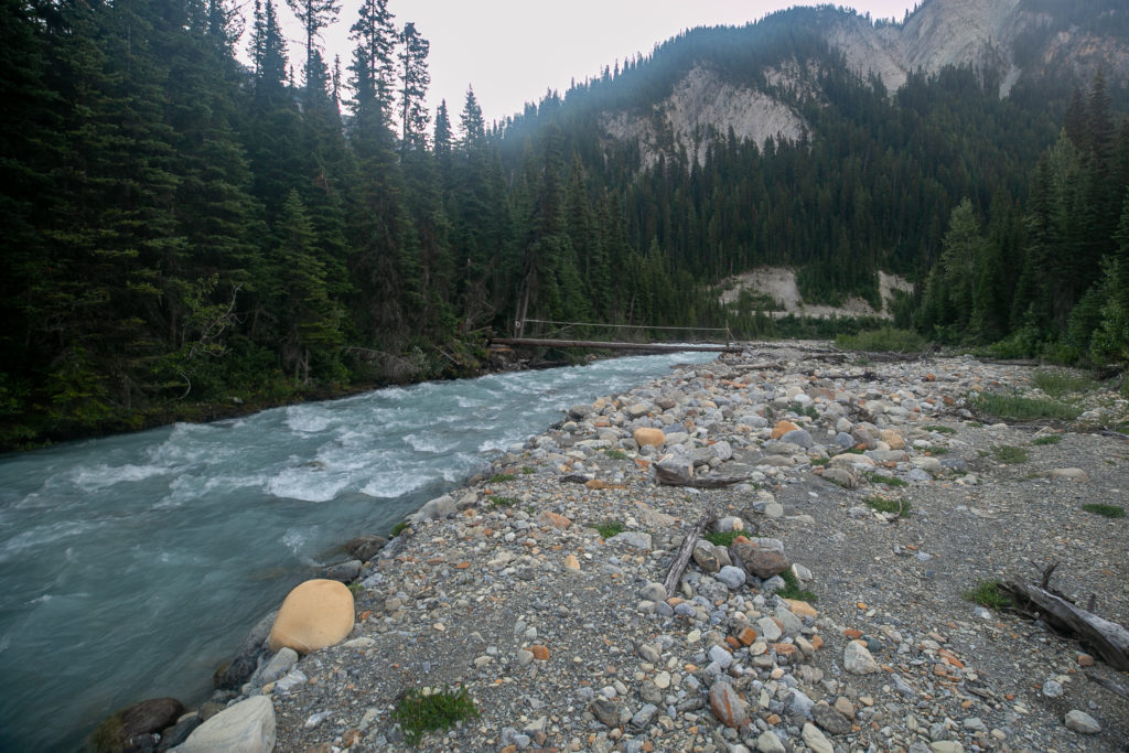
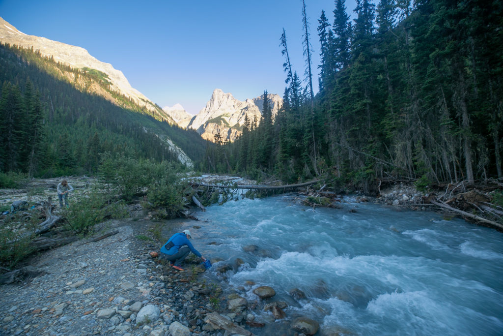
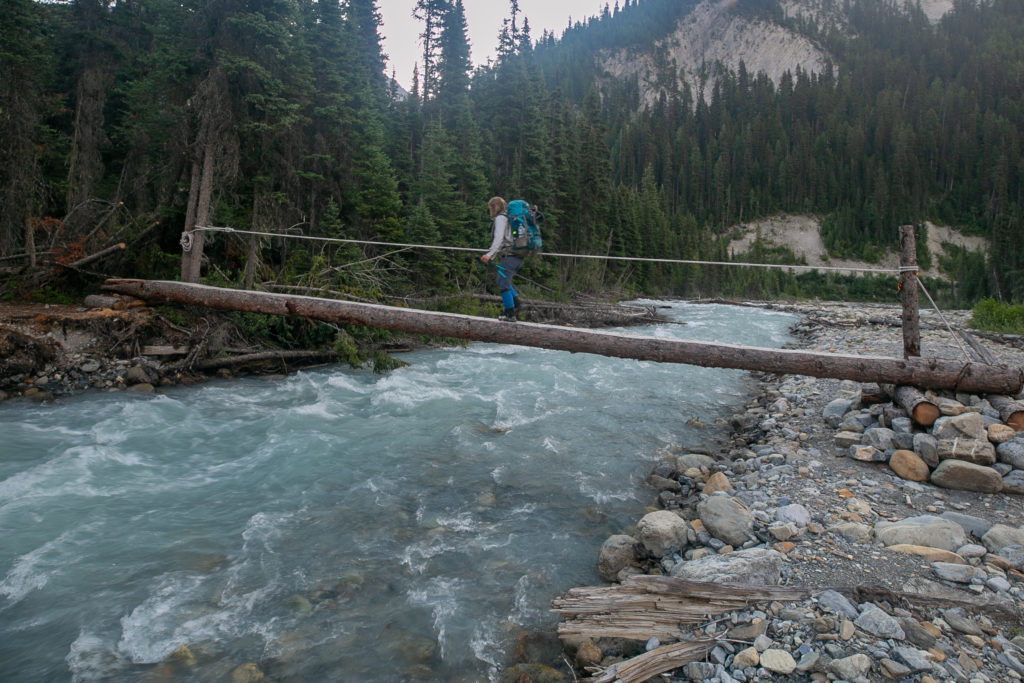
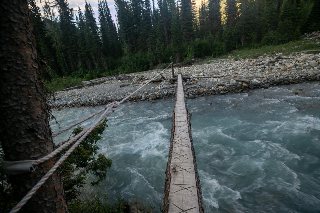
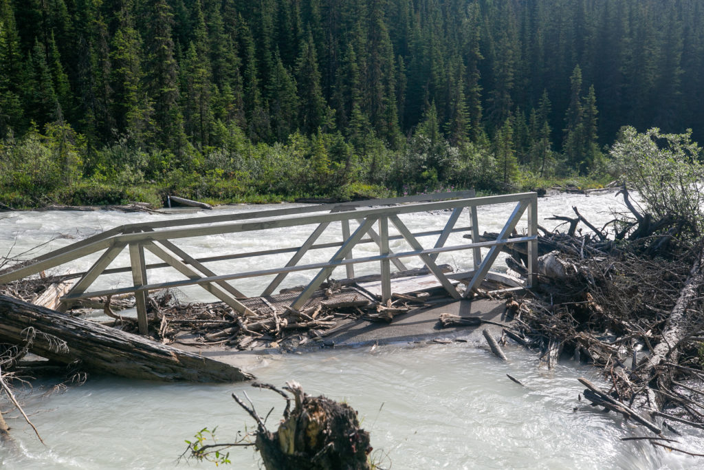
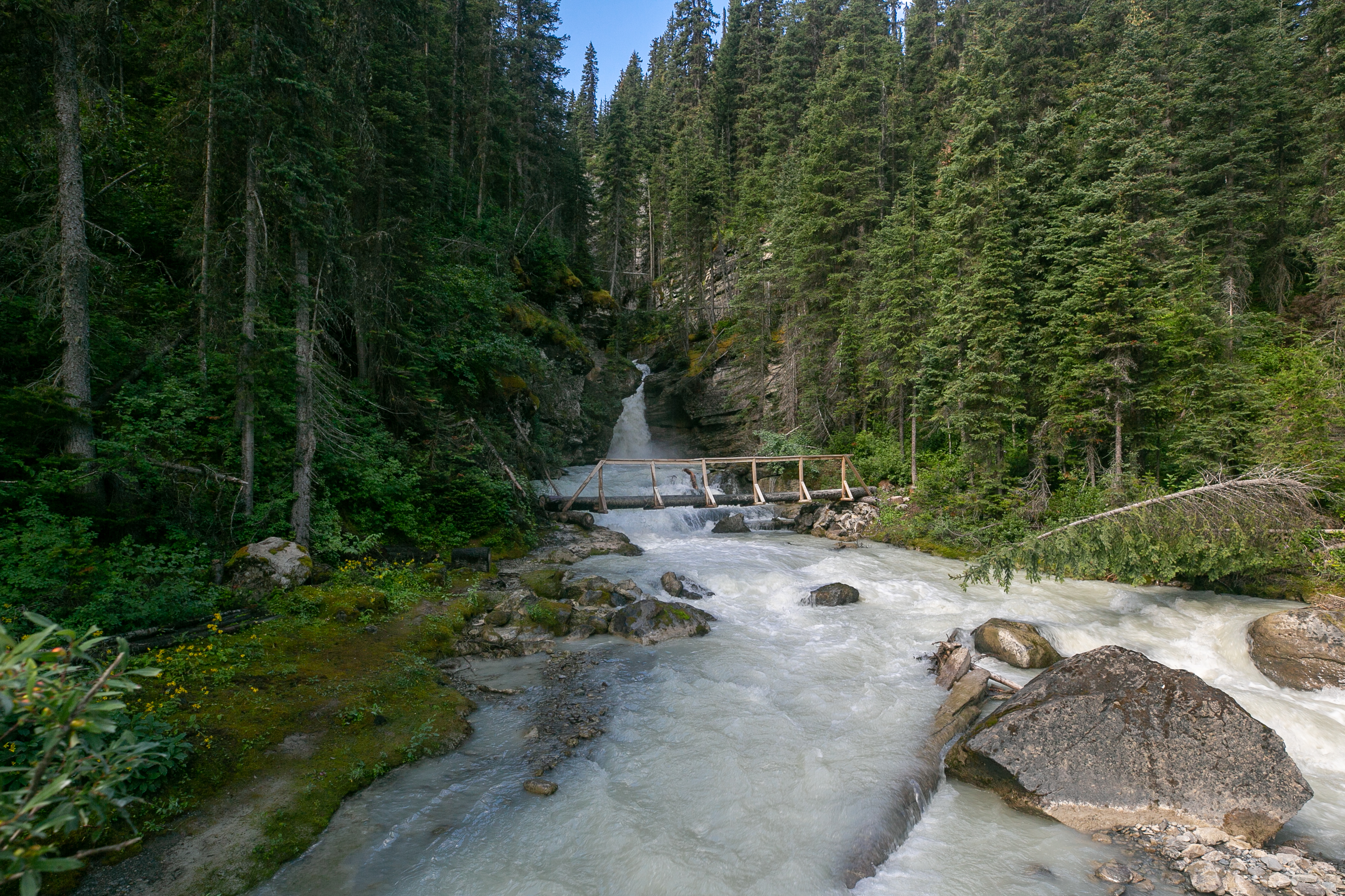
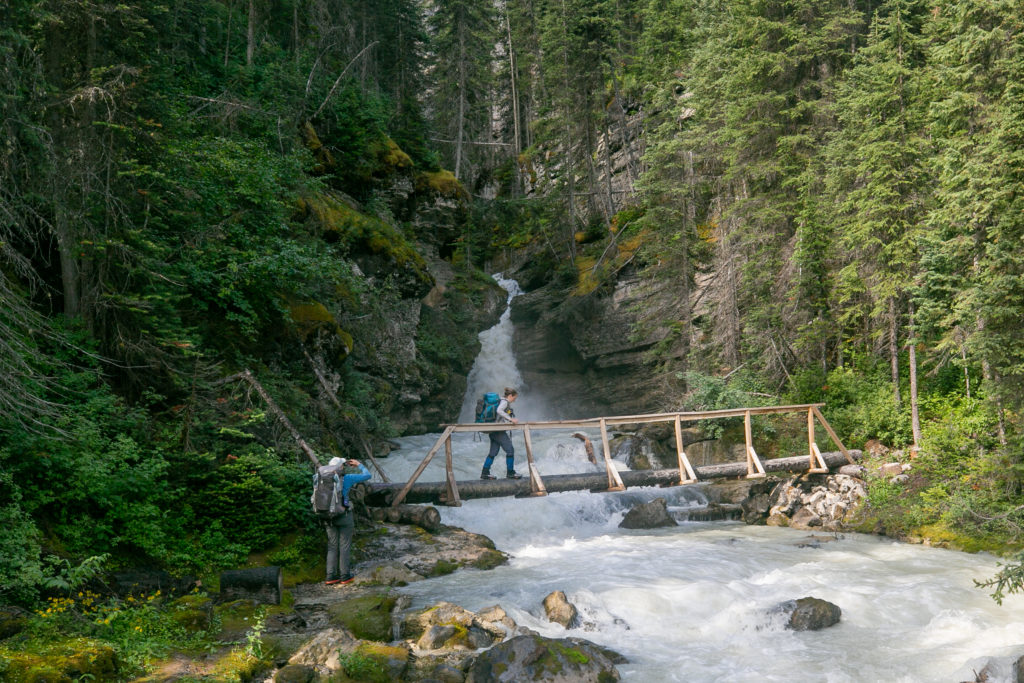
We quickly arrived at Cairnes Creek where we all filled up with water. The water in the creek was very clear. The creek was running in a small channel and was completely impassable. Lucky for us the GDT Association had built a bridge across Cairnes Creek similar to the one we used yesterday to cross Collie Creek.
It was a quick and easy 1.5 km from the creek to the first of the avalanche debris slides. Some of the suggestions online were to hike above the debris and then cross. After bushwhacking up the side there appeared to be a decent path across. Crossing the debris path reminded me a lot of crossing the forestry cut blocks from Day 4.
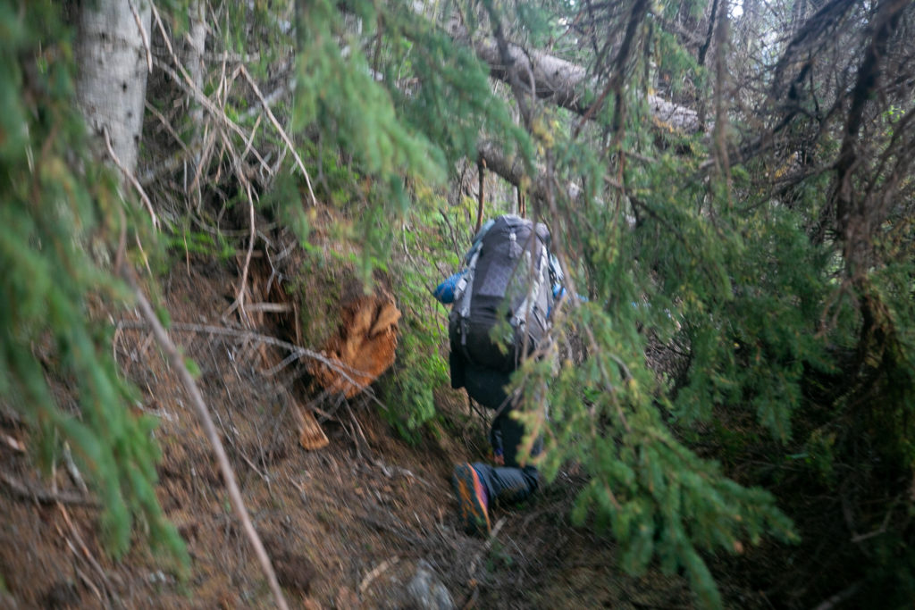
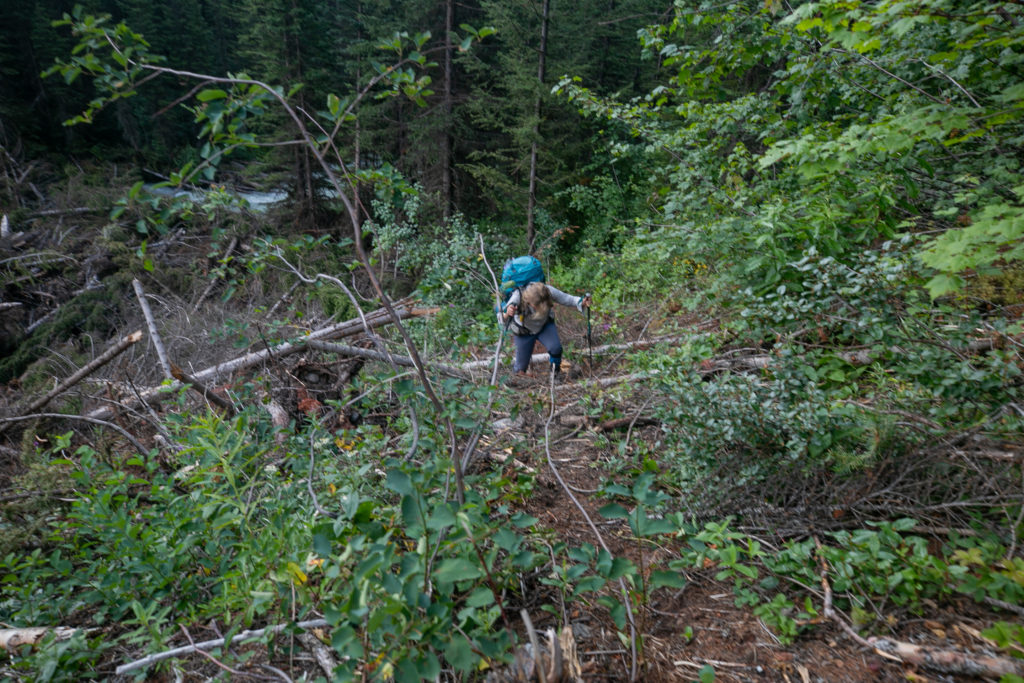
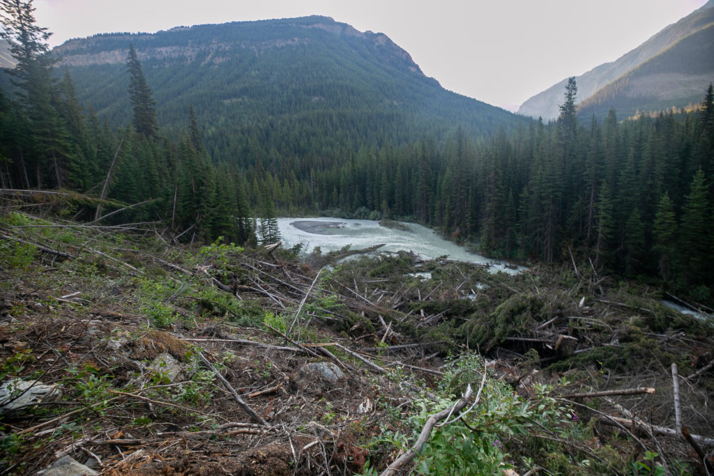
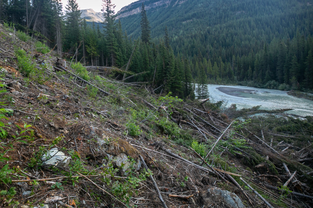
The first avalanche path had been quite easy to negotiate, not so much the second avalanche. Initially it was a struggle just to get onto the second avalanche path due to the debris guarding the side of the slope. Lillian and Sara proceeded to go high while I chose a mid level route across a mess of tangled but stable trees. Once across to the other side it was a another difficult bushwhack down back to the trail by the river.
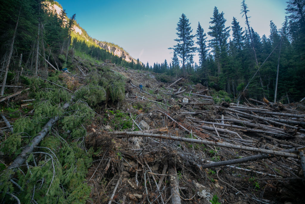
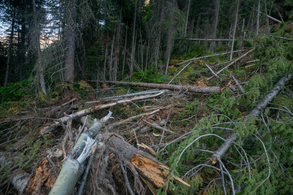
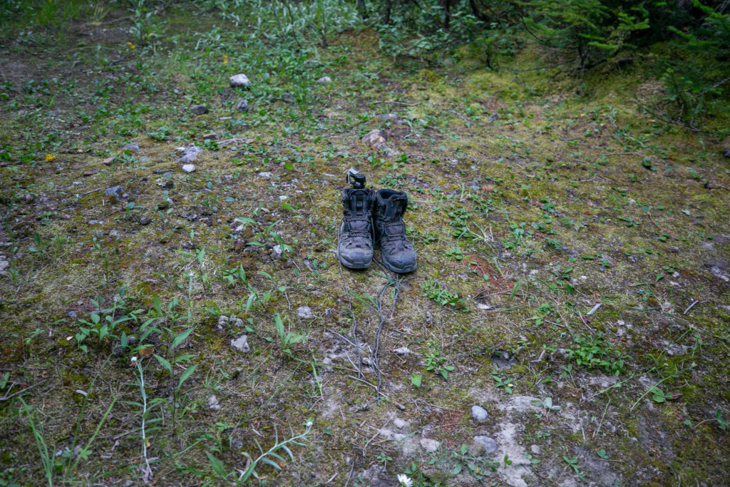
Once down and back onto the trail we were faced with some more avalanche related fun. As the avalanches slid down the slope they pushed their way a fair distance into the path of the river. This created a partial blockage that dammed the river and flooded the low lying ground near the river where the GDT just happened to be. With the trail flooded by water I switched to my running shoes to keep my boots dry and proceeded to carefully make my way through the milky water using my pole as a probe. The water was so very cold that my feet started to hurt after just 15 – 20 seconds in the water. After a few short minutes we found the trail and rejoined the GDT. It had taken us a little over one hour to pass by the avalanche debris covering only probably a half a kilometre of trail.
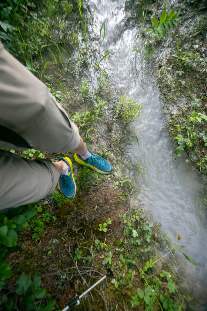
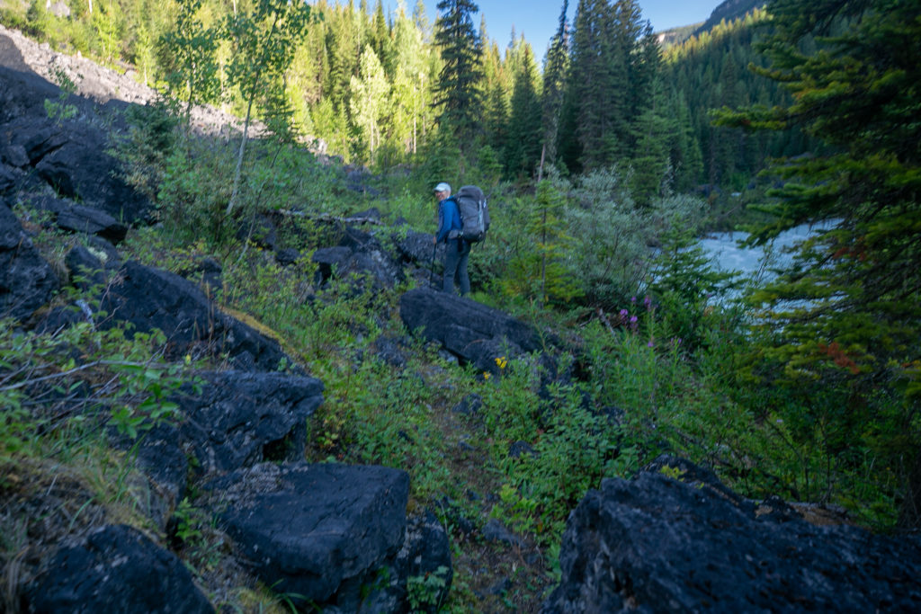
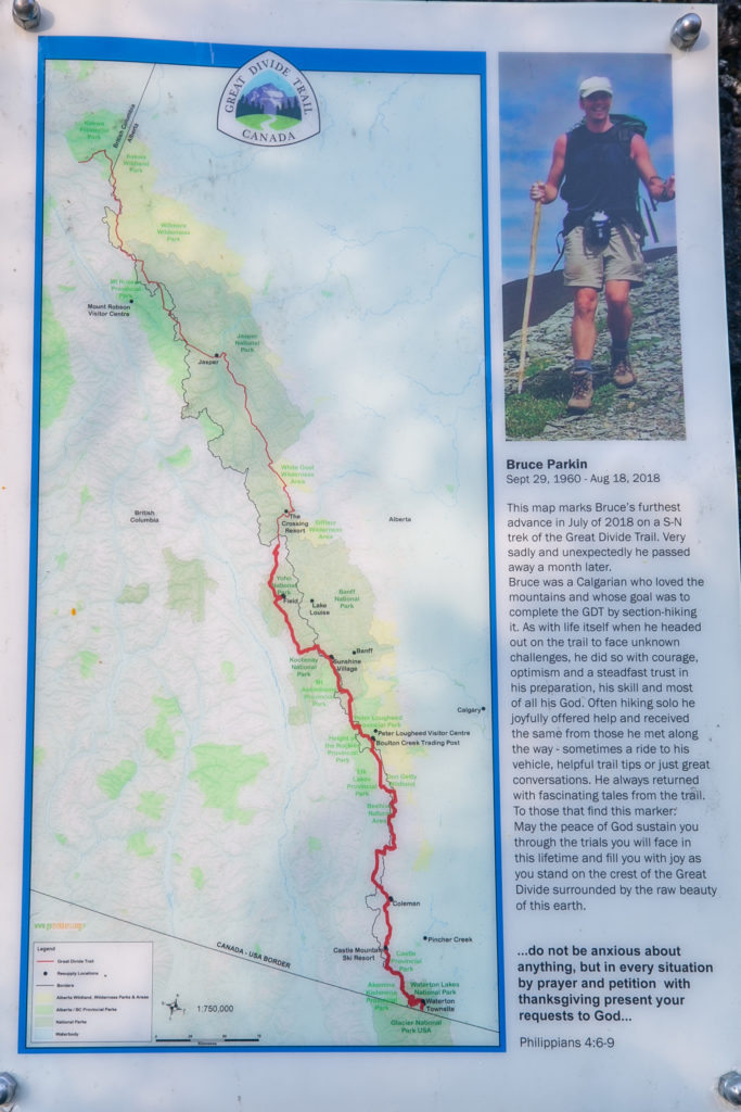
After we got back on the GDT I hiked for a little while in my shoes before switching back to my boots. The hiking was quite good up to Lambe Creek. There was a lovely but sad tribute to a GDT hiker at an rockfall who had to leave the trail and passed away a month later. It was 11:15 am when we arrived at the Lambe Creek Campground we had covered about 9 km.
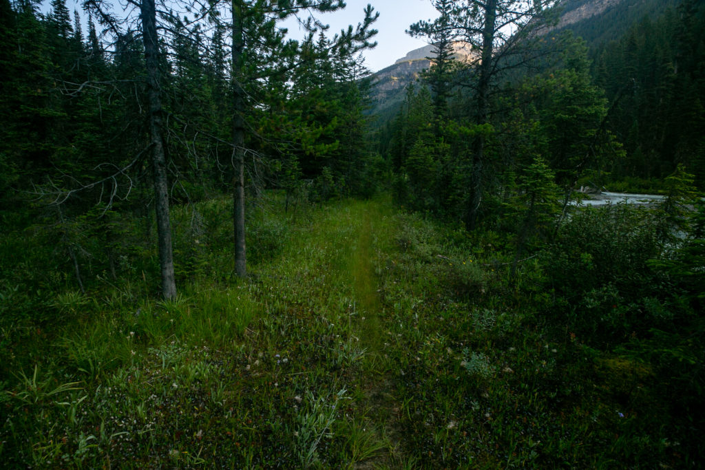
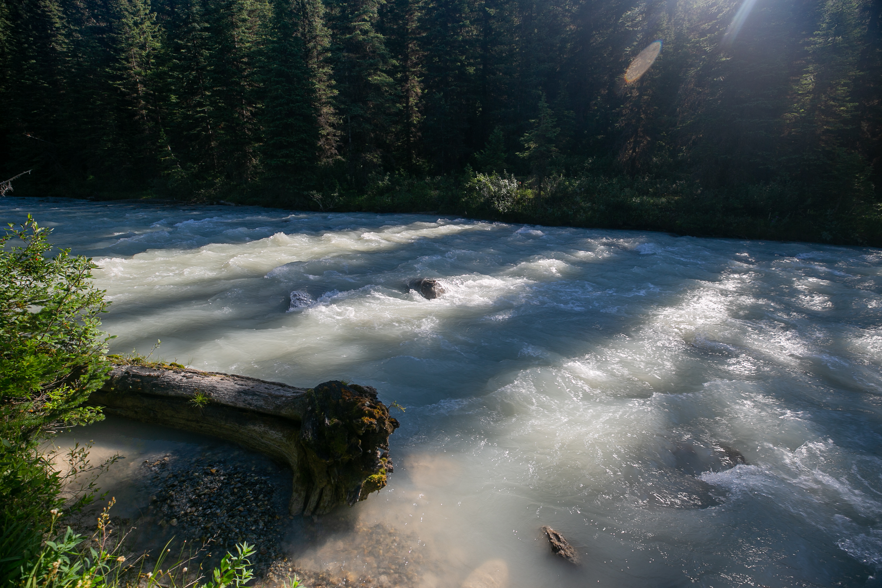
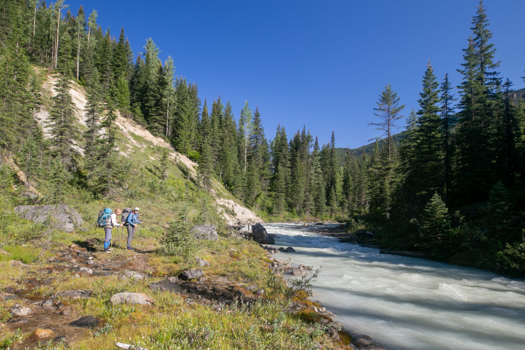
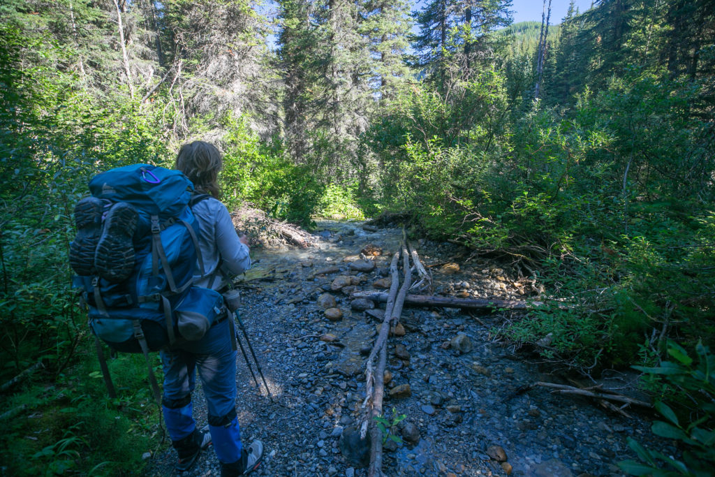
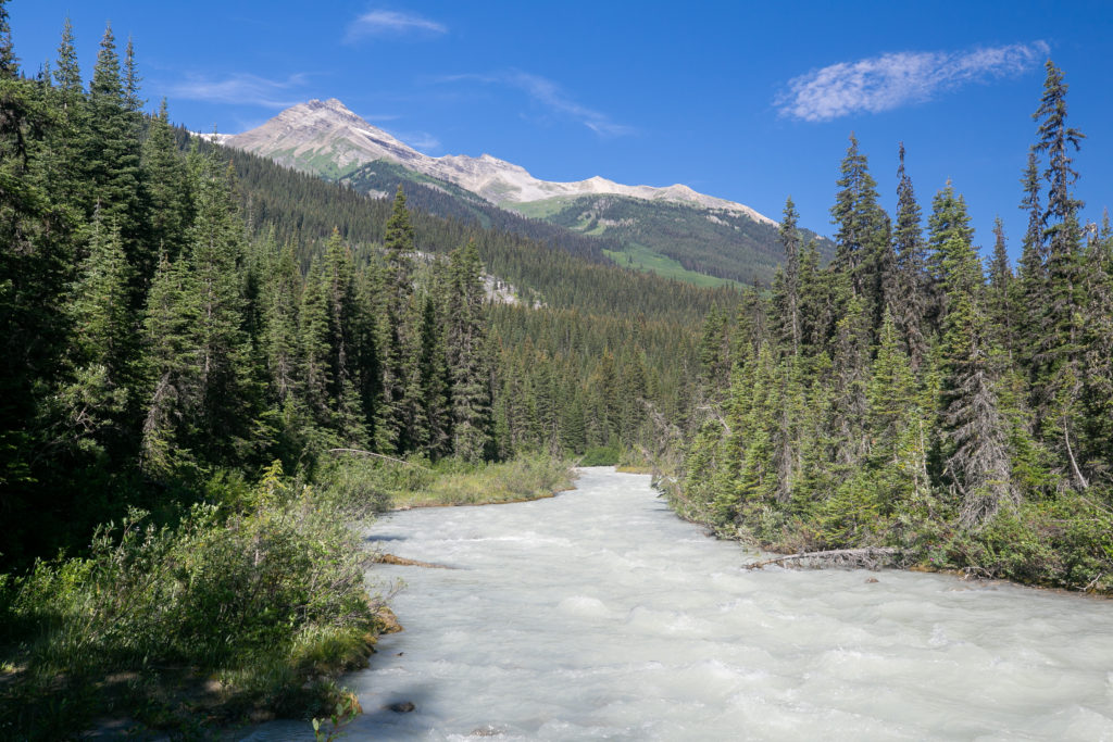
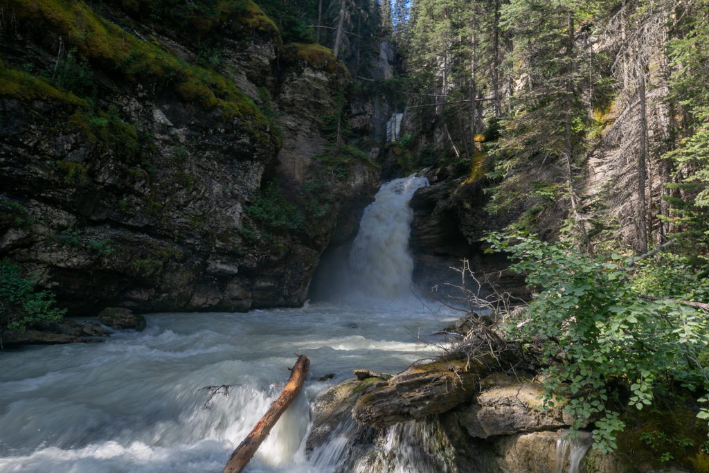
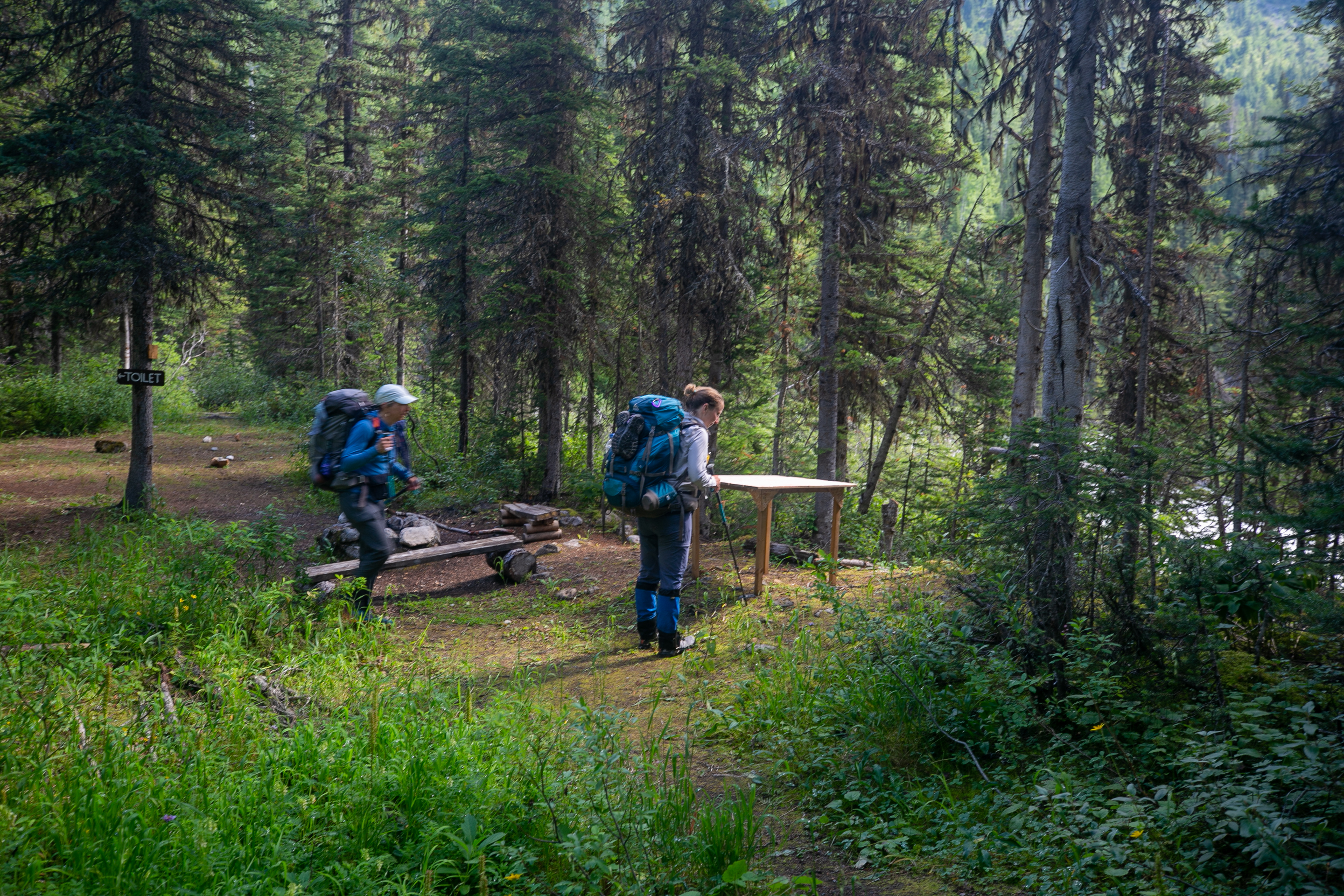
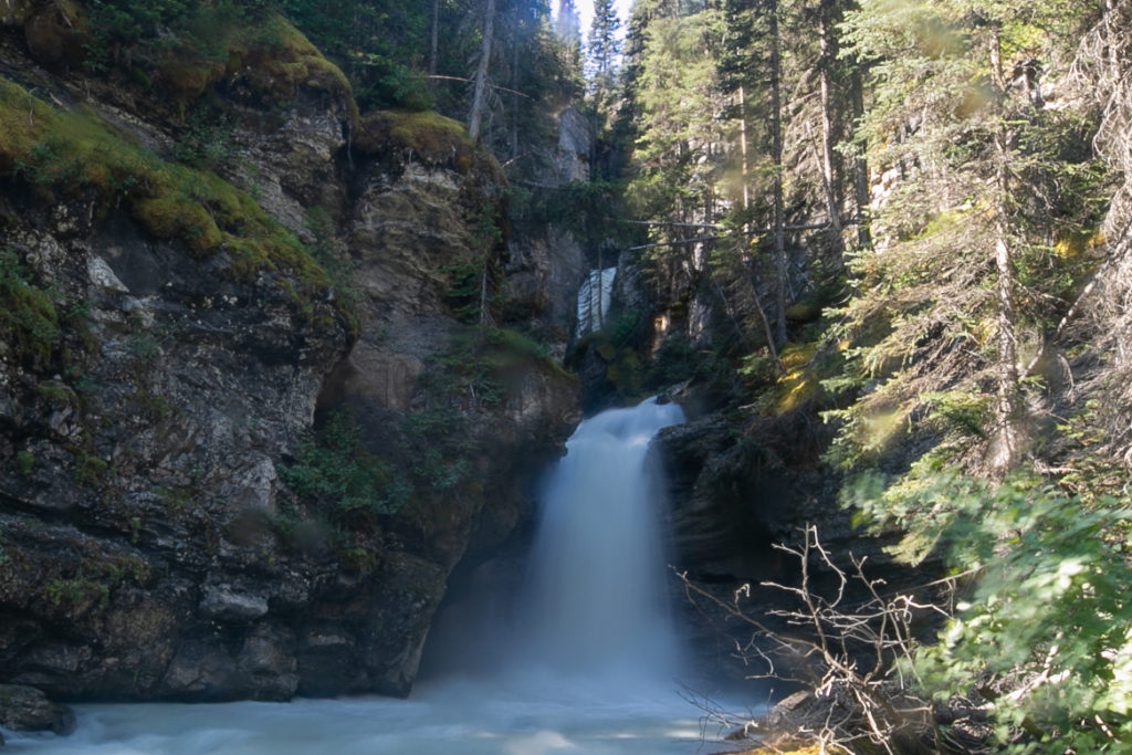
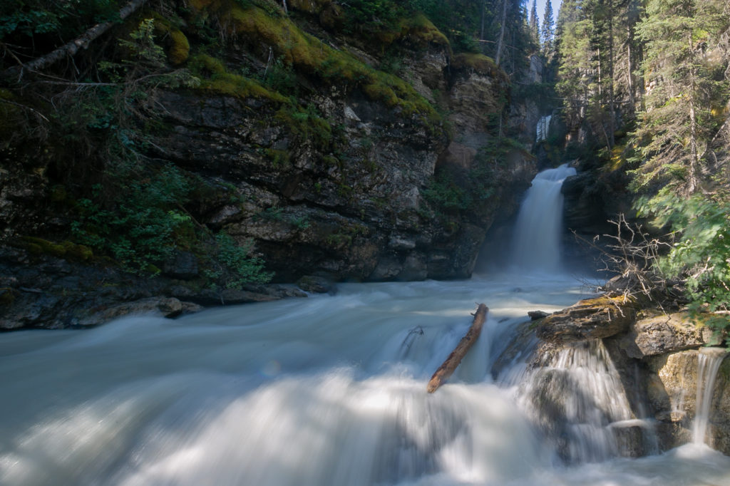
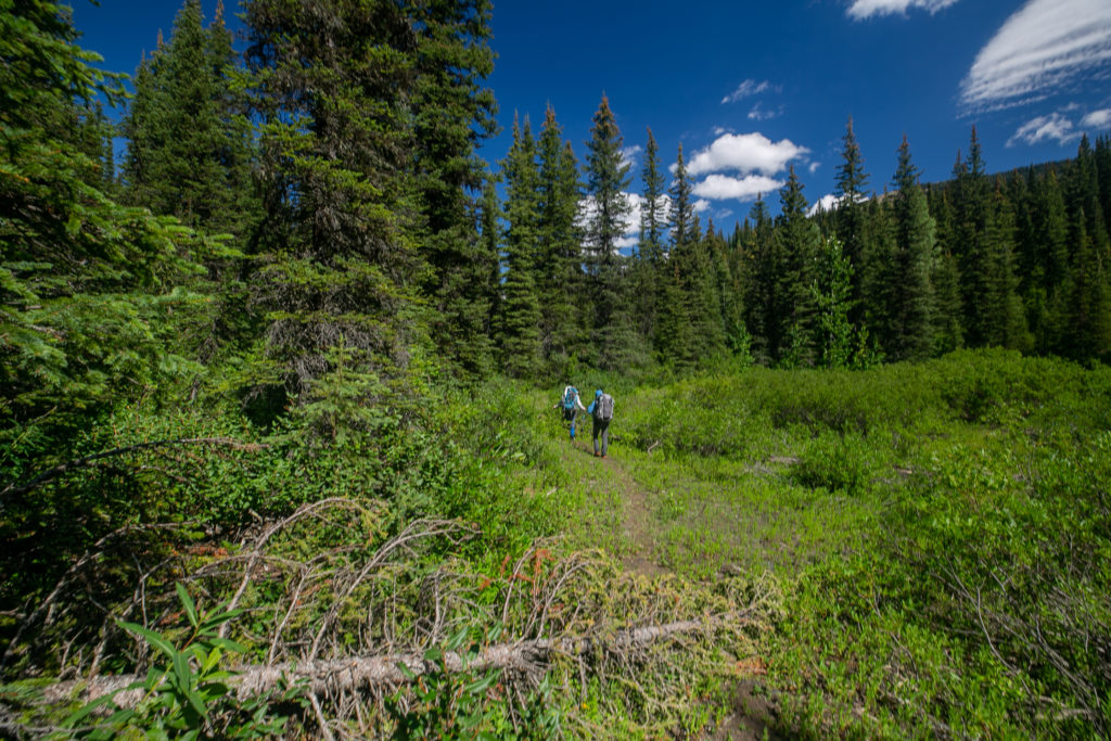
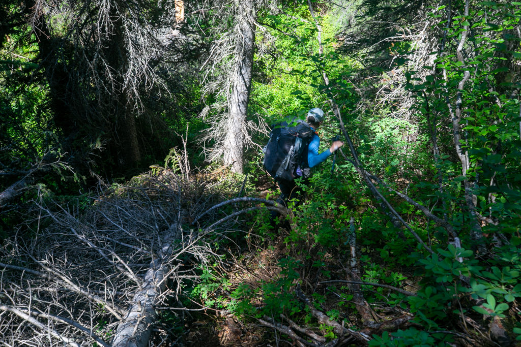
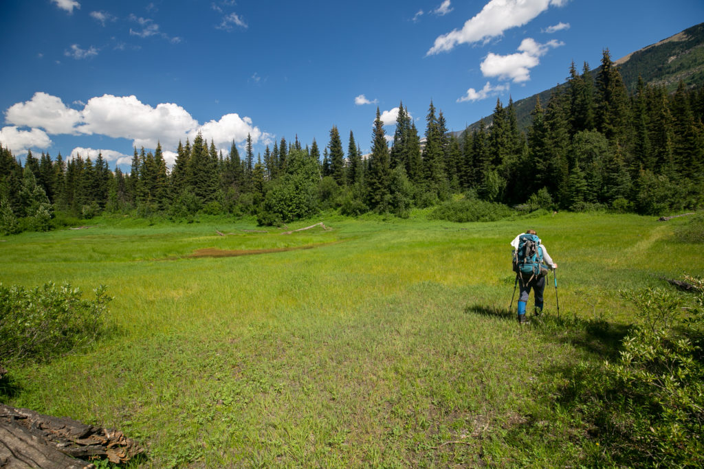
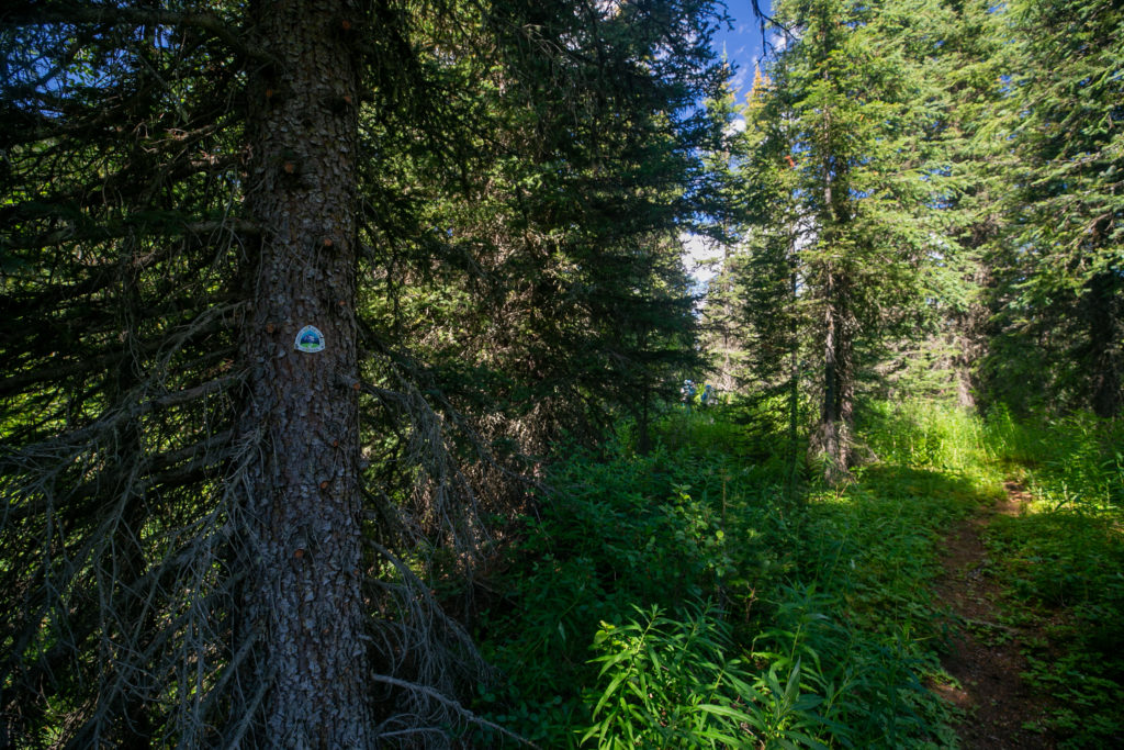
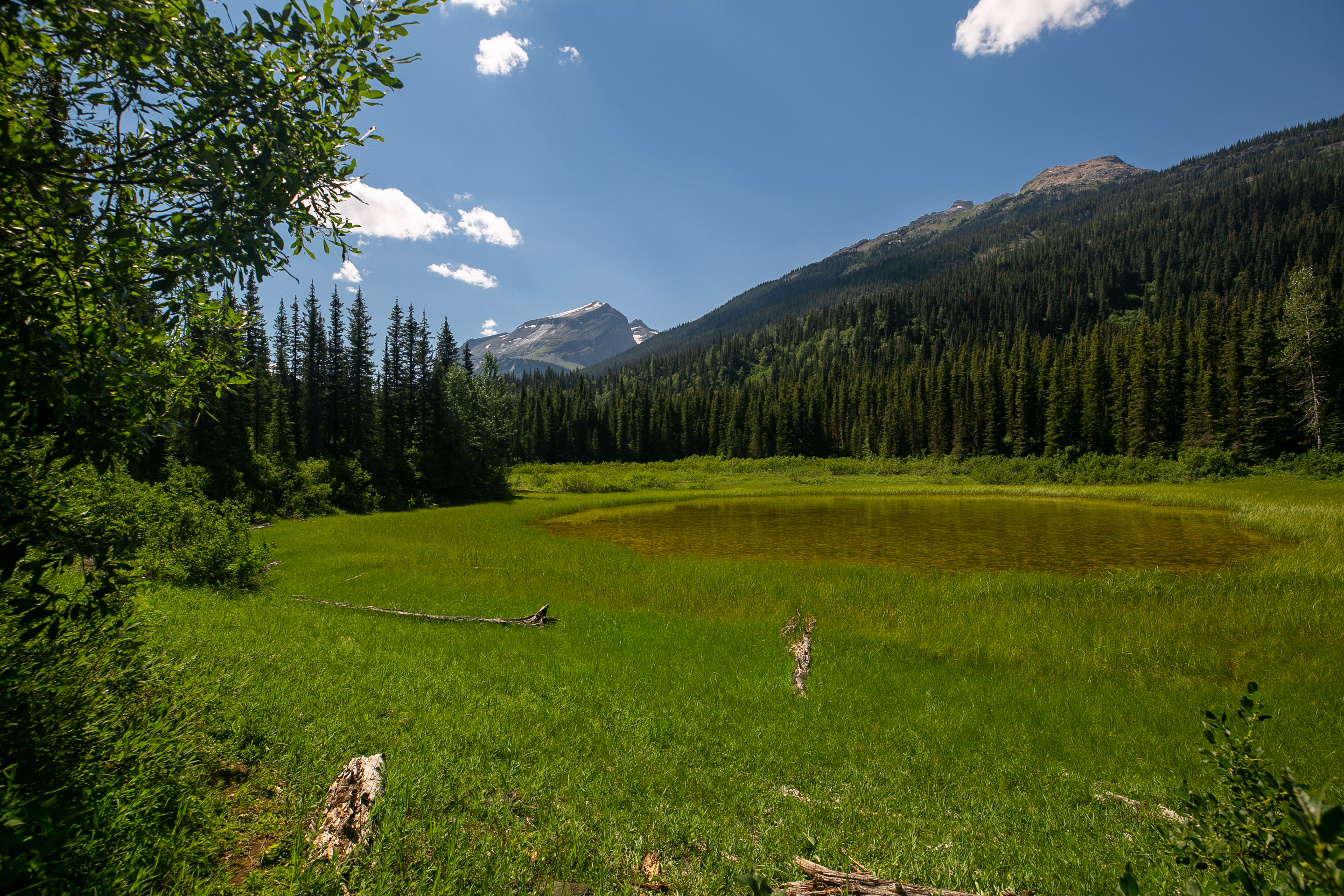
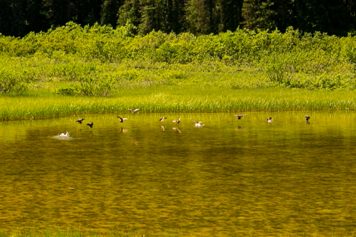
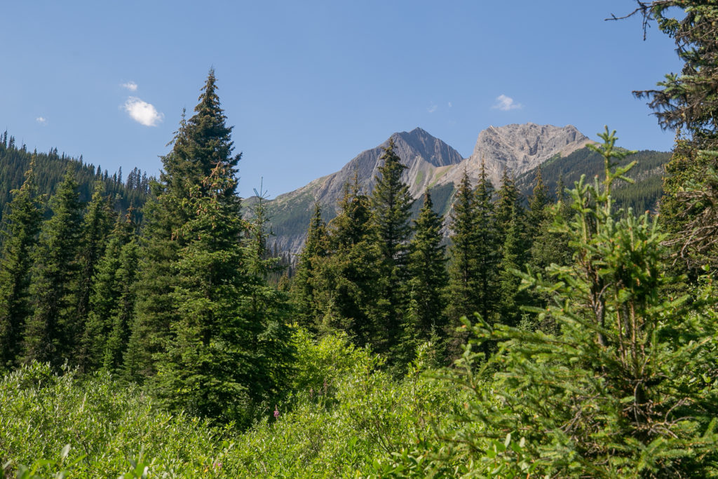
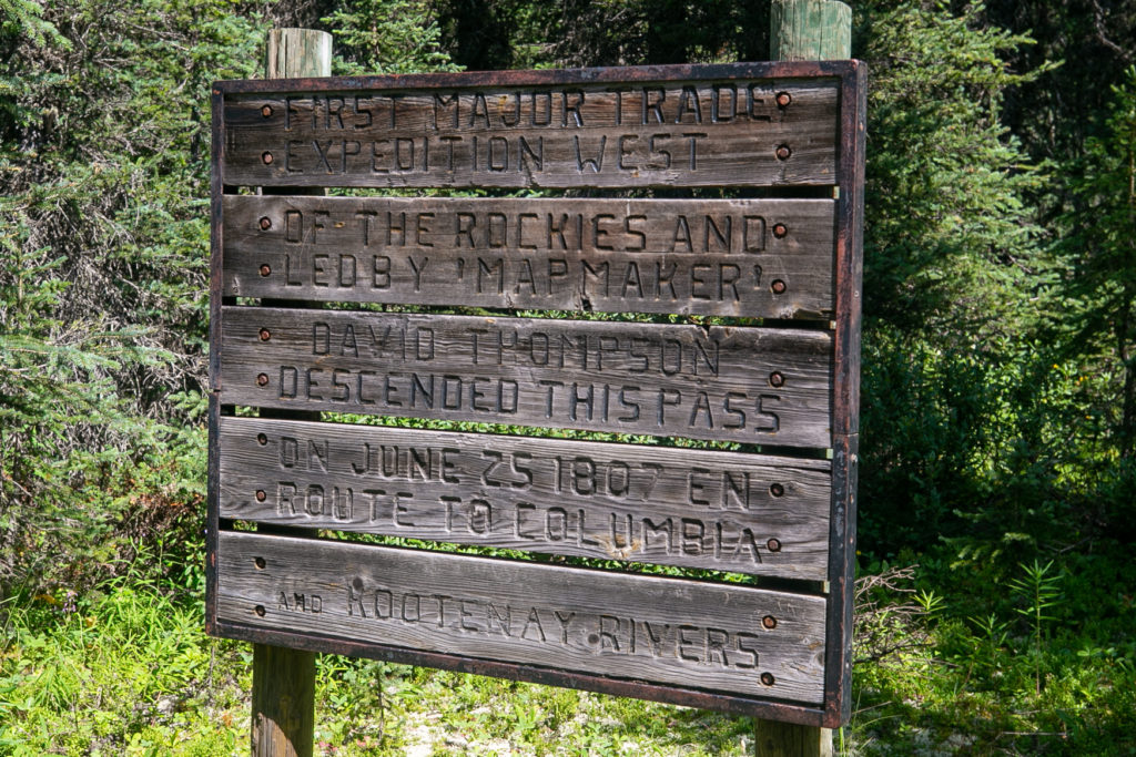
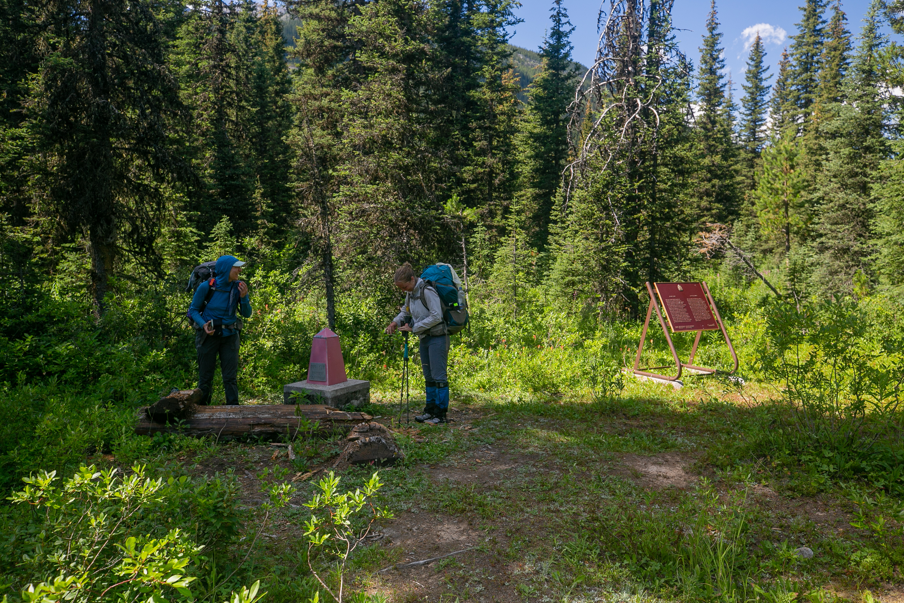
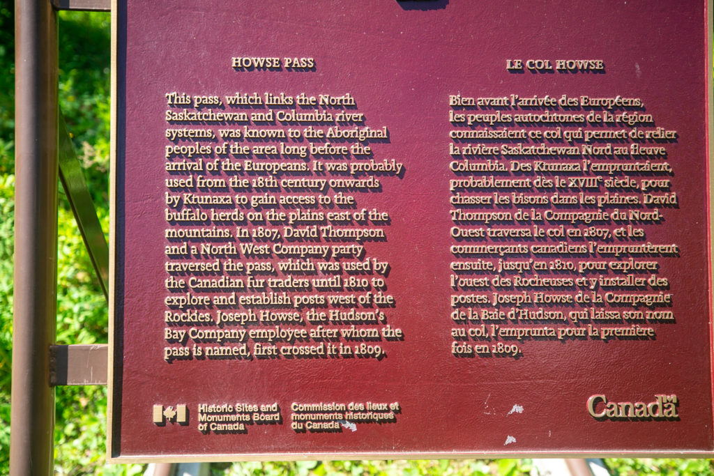
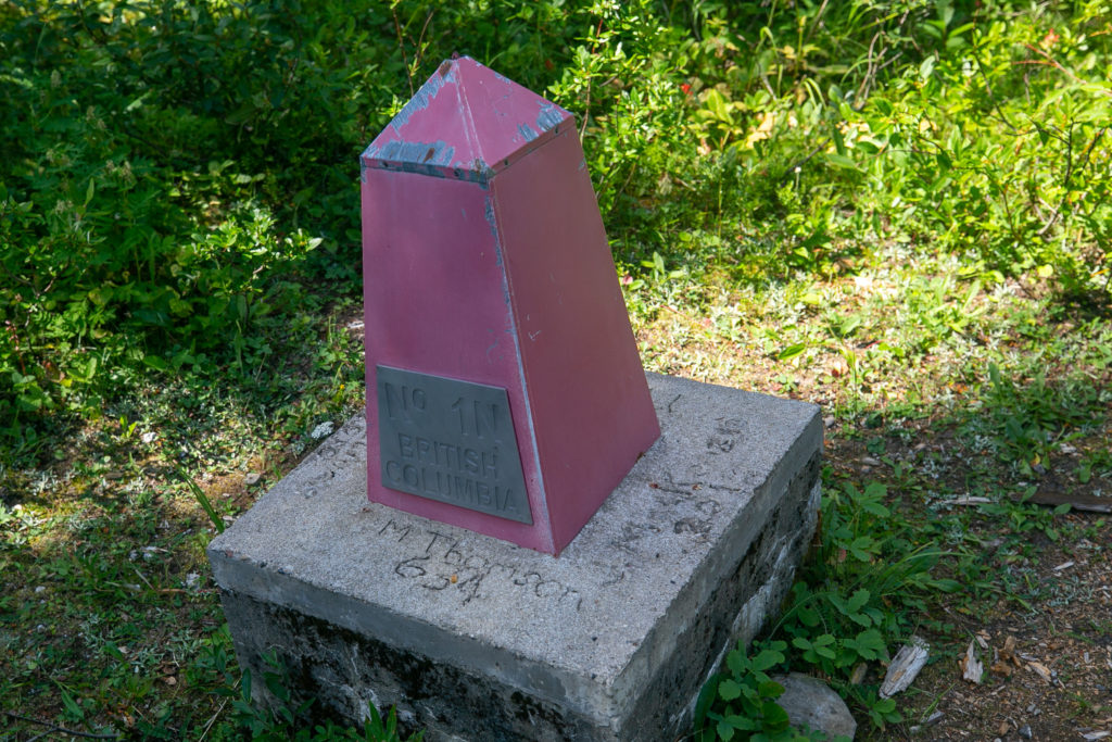
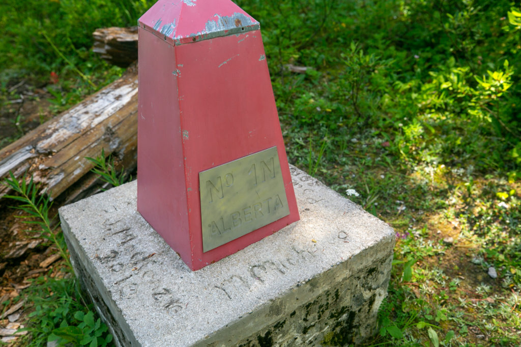
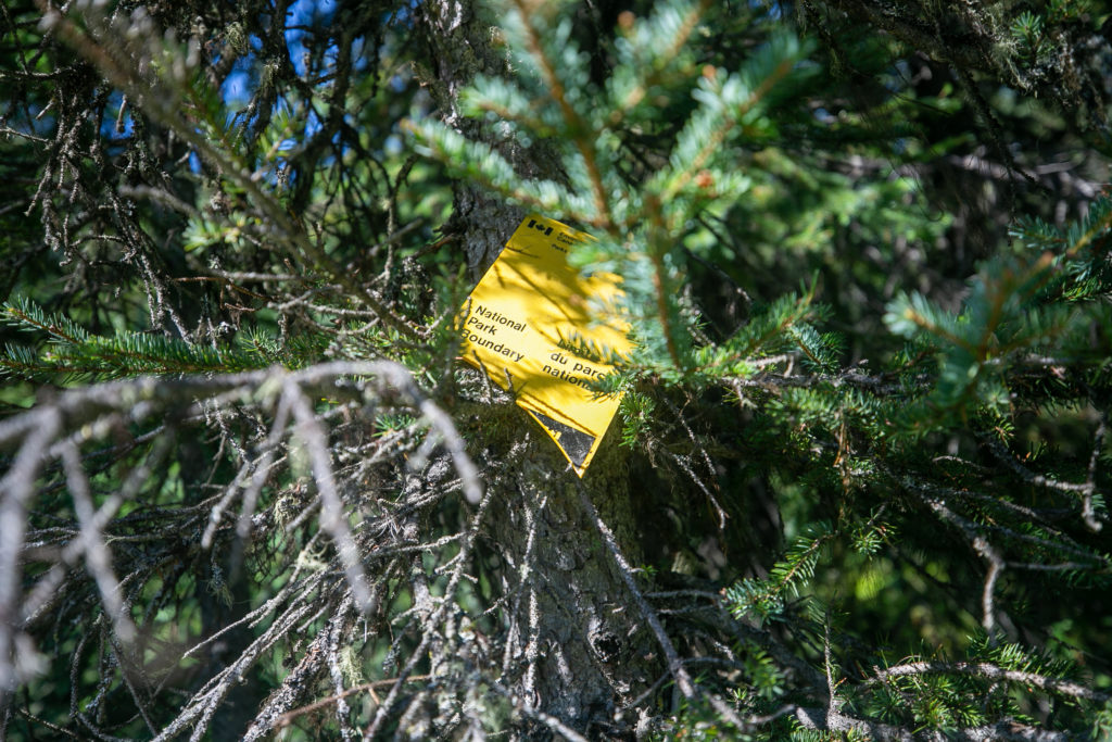
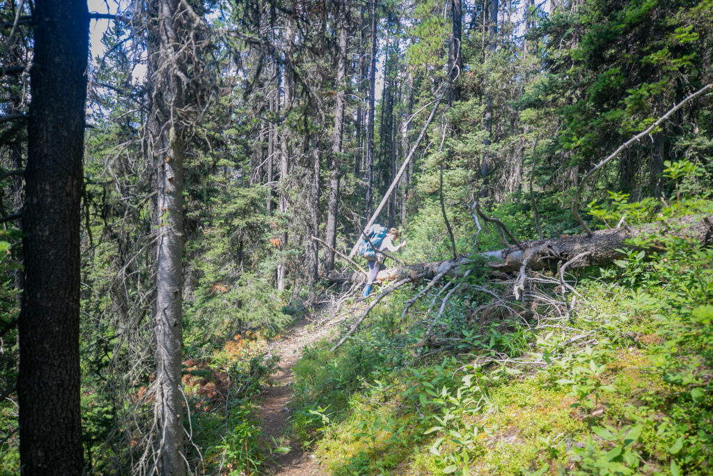
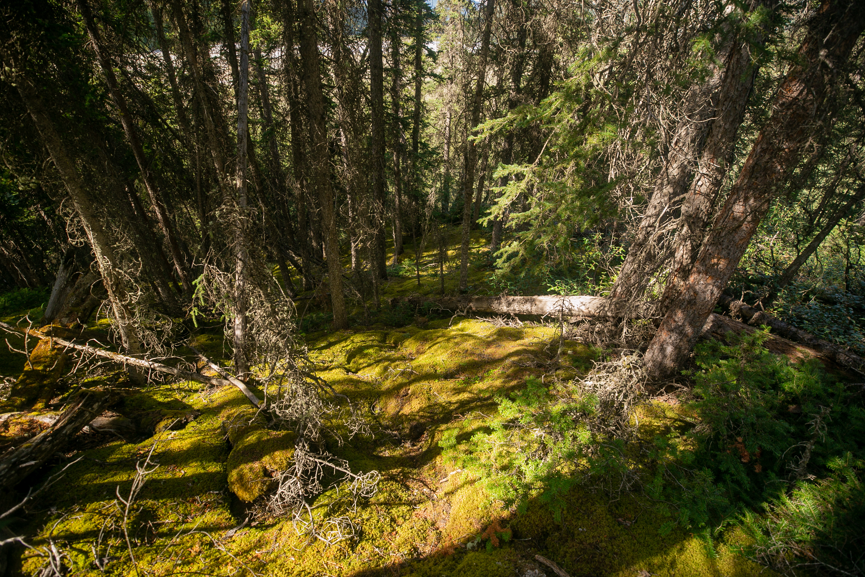
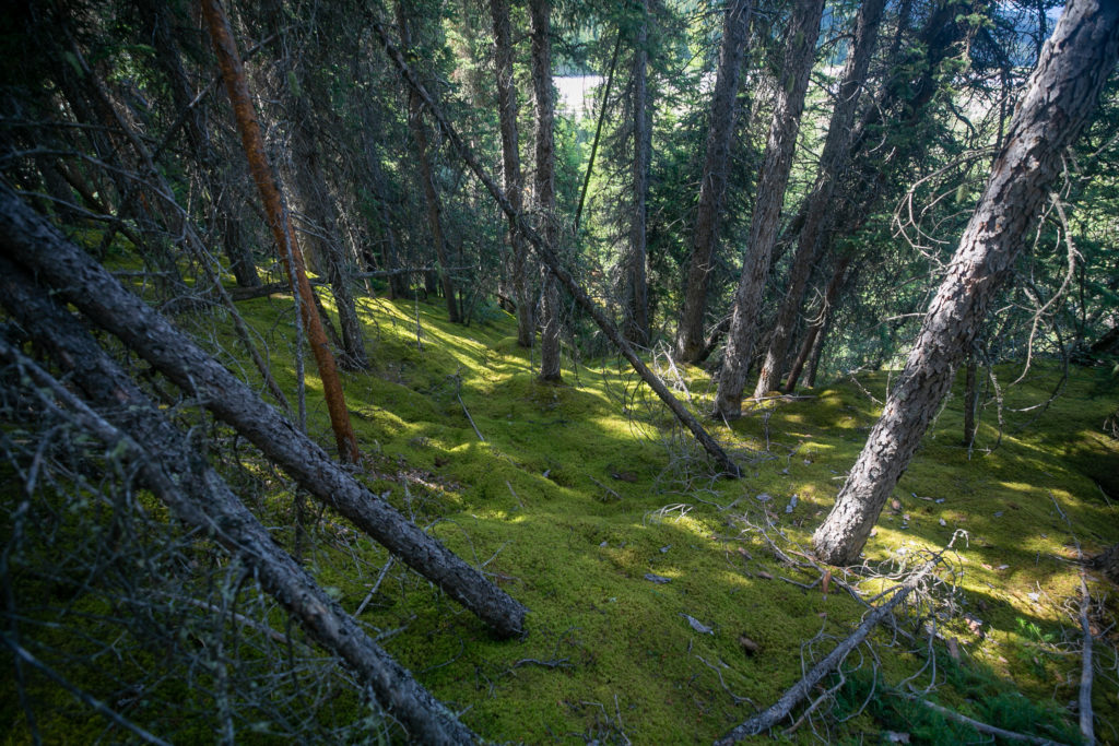
We left the campground at Lambe Creek just before noon. Progress was initially quick but then the deadfall started. So much deadfall. We worked our way carefully around the trees. For some trees we had to make our way up steep slopes to find a spot that was low enough to straddle over the tree. After what seemed like a long time we cleared the deadfall and the last 45 minutes to Howse Pass was through gently rolling grass and marshlands. I only ate half a lunch at Lambe Creek and I was starting to lag as we made our to Howse Pass. We watched a squadron of ducks circle a small lake and make a water landing in formation. We arrived at Howse Pass at 1:30 pm, about 90 minutes and 3.5 km after leaving Lambe Creek. Howse Pass was a very nondescript place.
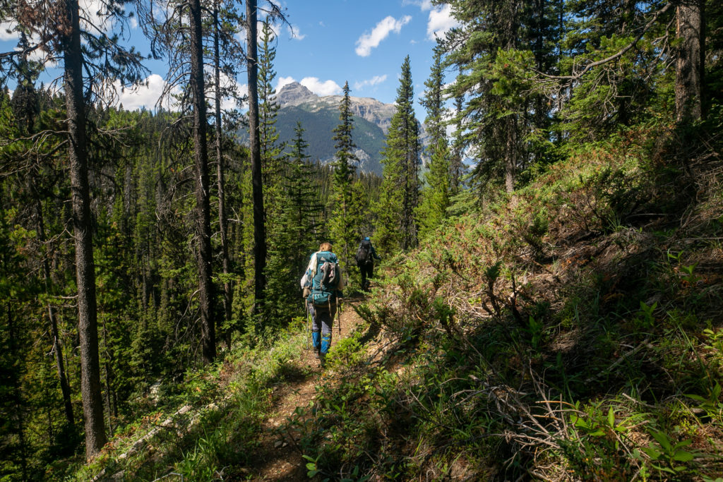
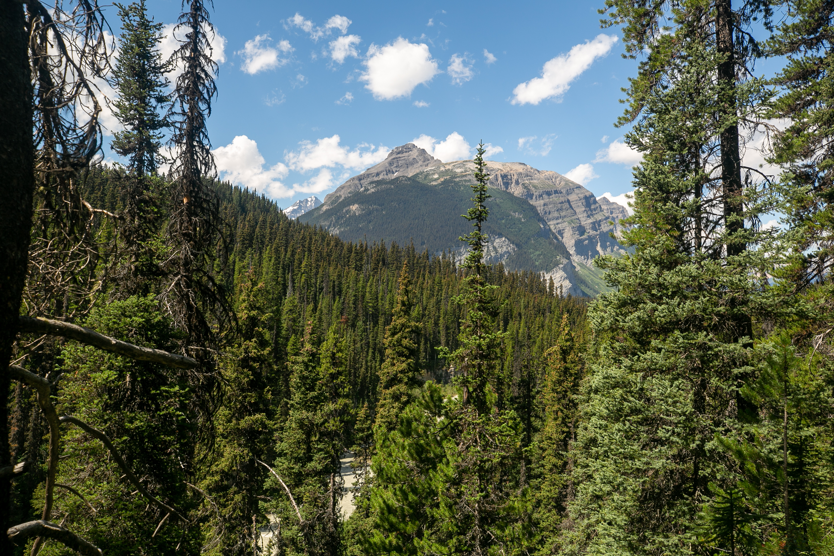
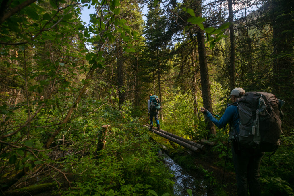
We had a 45 minute break at Conway Creek. There was a dicey little log crossing across the creek to the open area that can be used for camping. The camping here would definitely be less than ideal with a lack of flat spots for a tent but it did have access to clear water. I took the opportunity with our extended break to do a foot soak and have a second lunch.
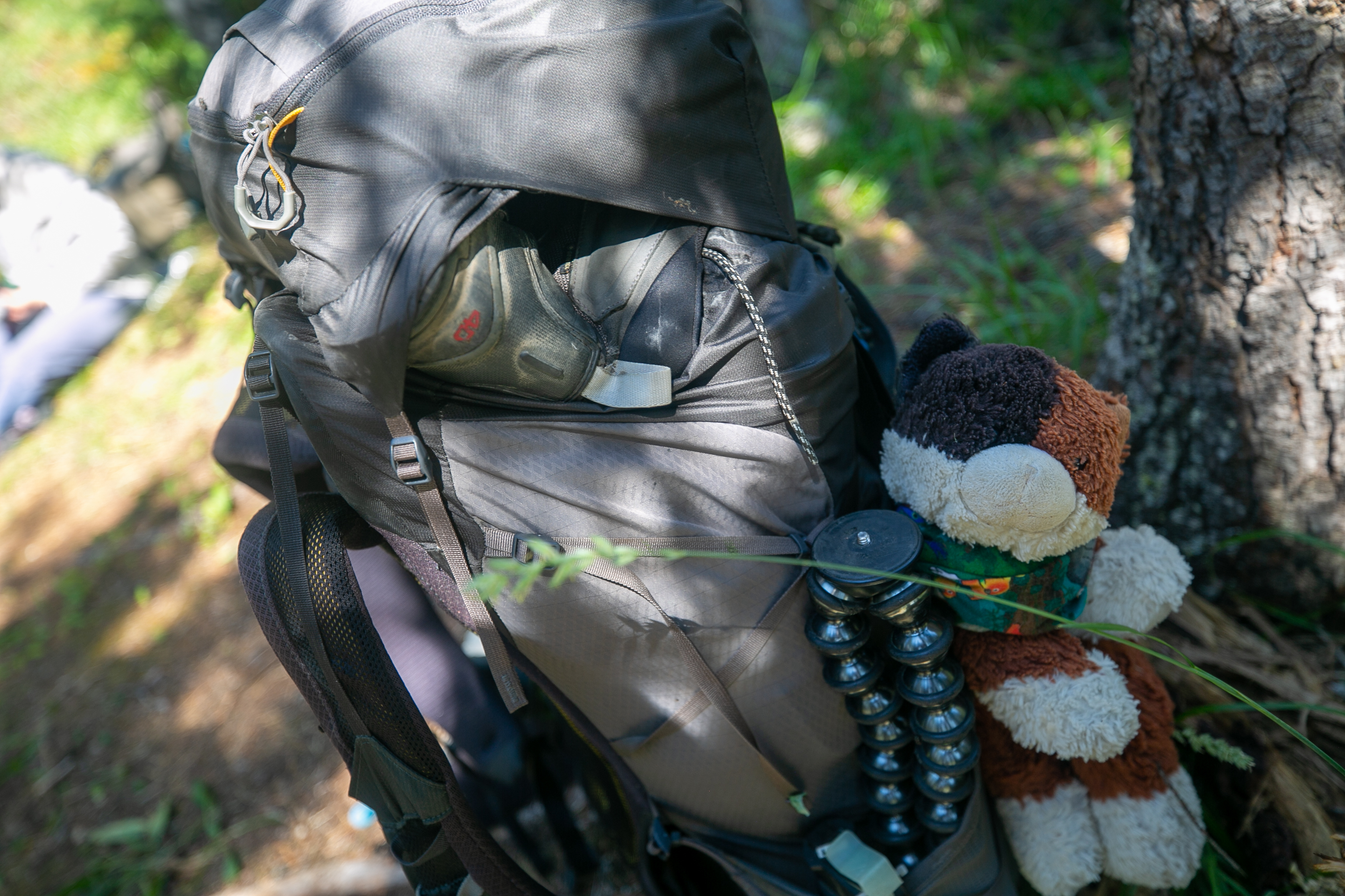
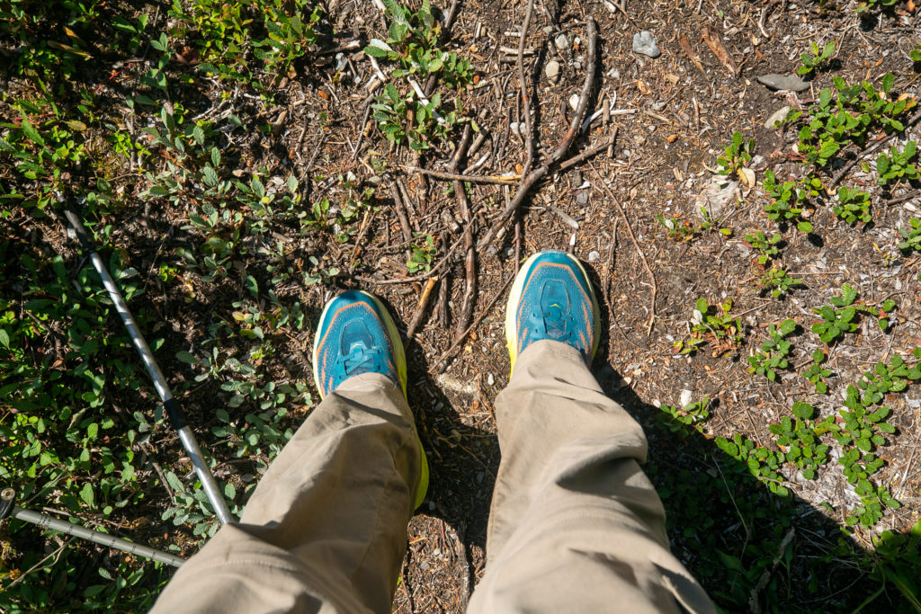
It was just after 3 pm when we headed out from Conway Creek. I tripped and stumbled a few times as we made our way down the trail. Had to bear down and focus on what I was doing.
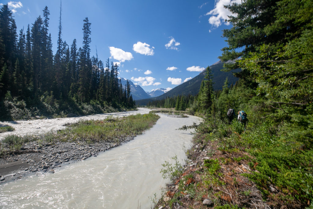
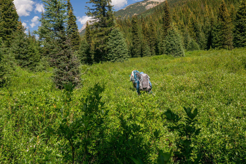
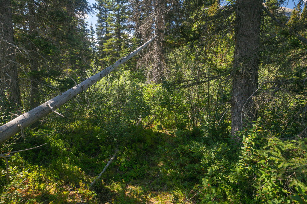
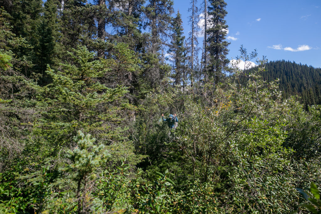
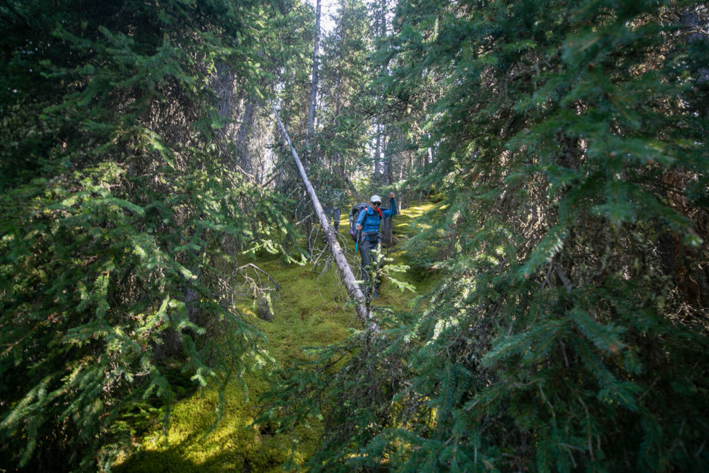
As we made our way along the Howse River the trail meandered from the riverbank into the forest and back to the riverbank. After about 15 minutes the trail disappeared altogether. When the bushwhacking started I went to the front and barged my way through the trees and brush. There were intermittent signs of a trail and the river was always close by so it was nearly impossible to get lost. One casualty of the bushwhacking was that the trees pulled my water bottle off of my pack. I was pretty annoyed at myself for losing the bottle and littering.
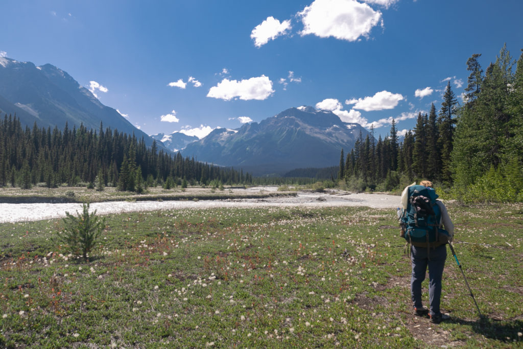
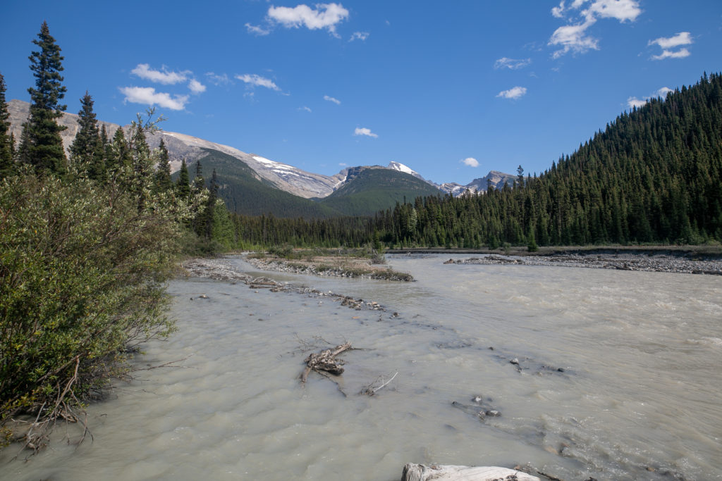
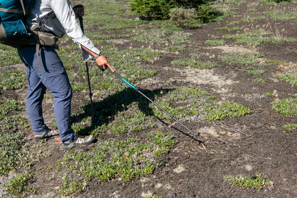
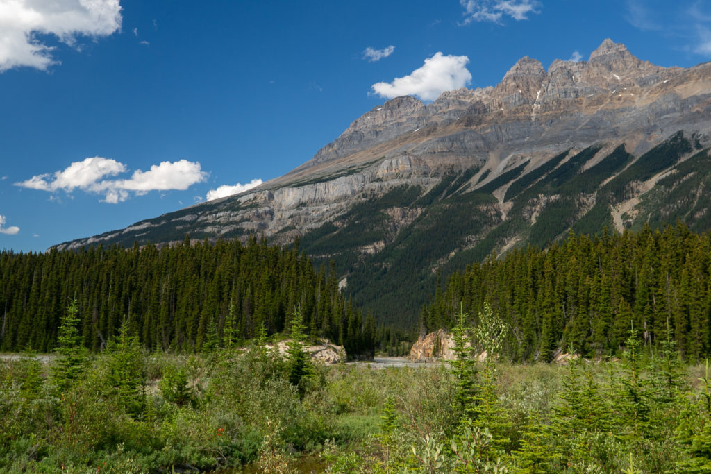
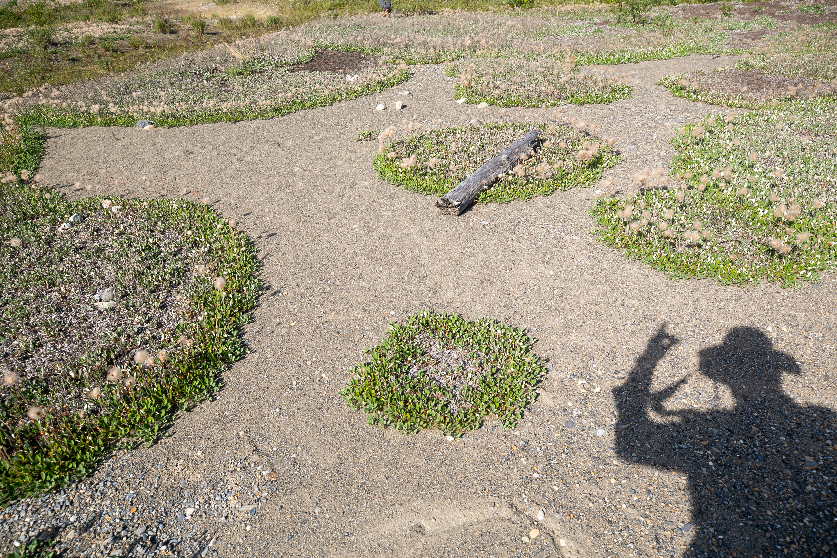
Once we broke through to the flood plain at the base of Mt David Thompson we had a couple of kilometres of easy walking. As we made our way along the flood plain Sarah showed me a dryas mat. A dryas is a tree that grows underground and then the flowers pop out and are the stems that we see above the ground.
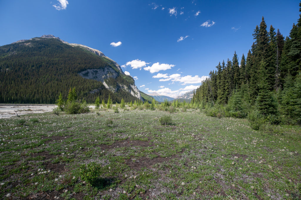
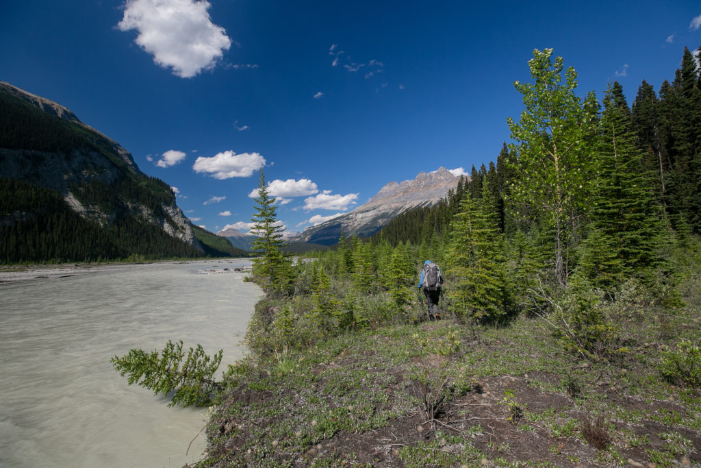
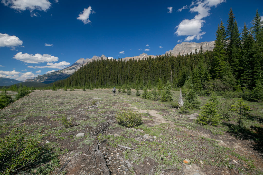
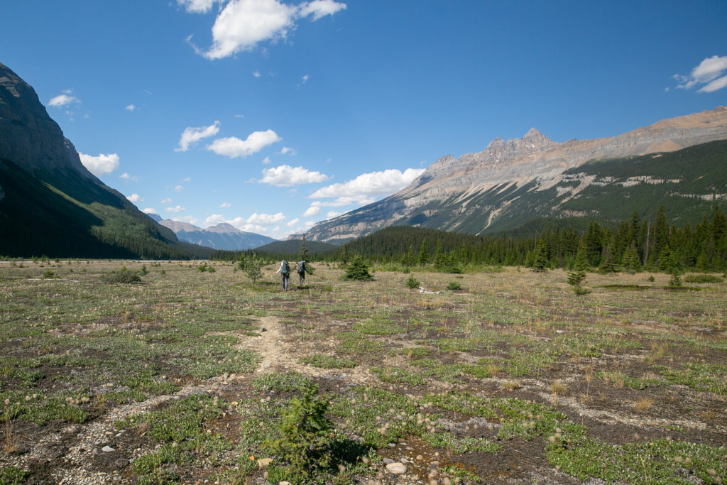
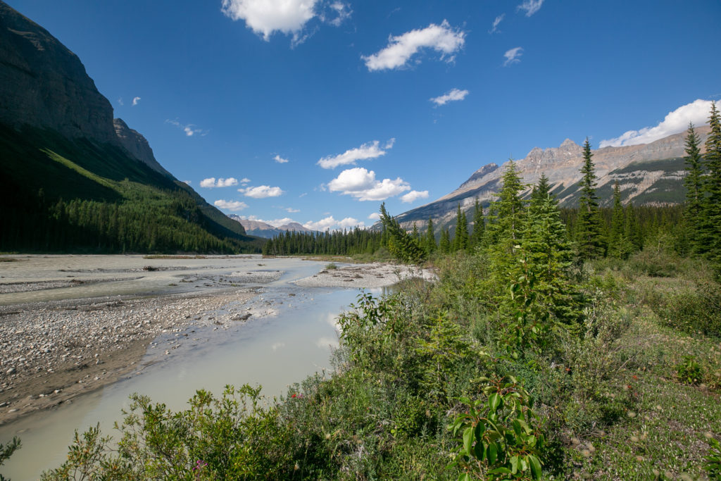
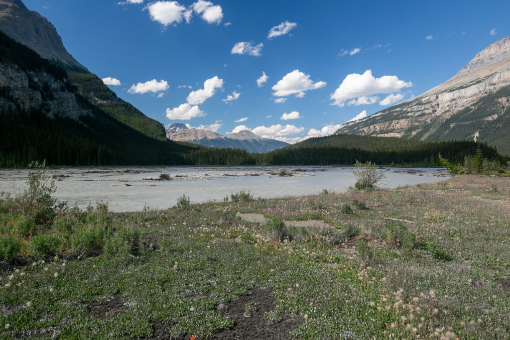
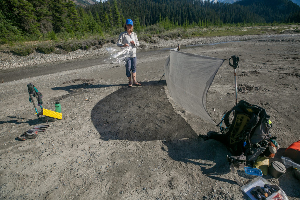
We arrived at horse camp just after 5pm. None of us were impressed by Horse Camp. It was just not an welcoming or engaging spot. We headed back to the trail and continued for just a few minutes. We stopped where the trail headed back into the forest and set up our camp for the evening on a sand bar. It was 5:10 pm when I dropped my pack about 10 hours since we left our camp on the side of the Blaeberry River. The sand bar was a great place to sit and relax but there was little shade and a lot of wind. We rigged up a sun shade/wind block using my ground sheet and poles and had a lovely evening on the sand bar. There were a couple of deep pools of water close by so Lillian and Sara decided to have a “spa day” in the refreshing and quite crisp water.
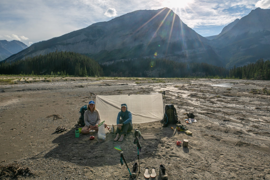
As we were relaxing on our sandbar a solo SOBO female hiker came out of the woods. She waded right through the water without a care. She barely broke stride to talk to us as her goal for the evening was to camp at Conway Creek which even at the pace she was hiking at would still be over an hour and it was getting late into the evening.
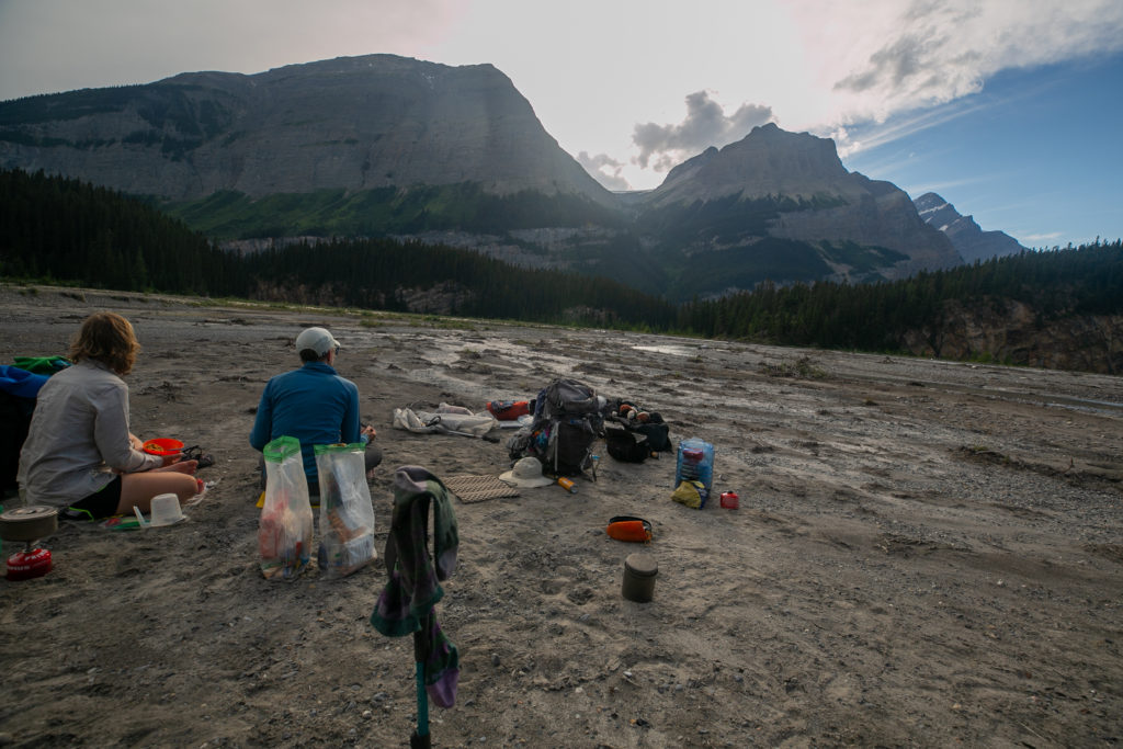
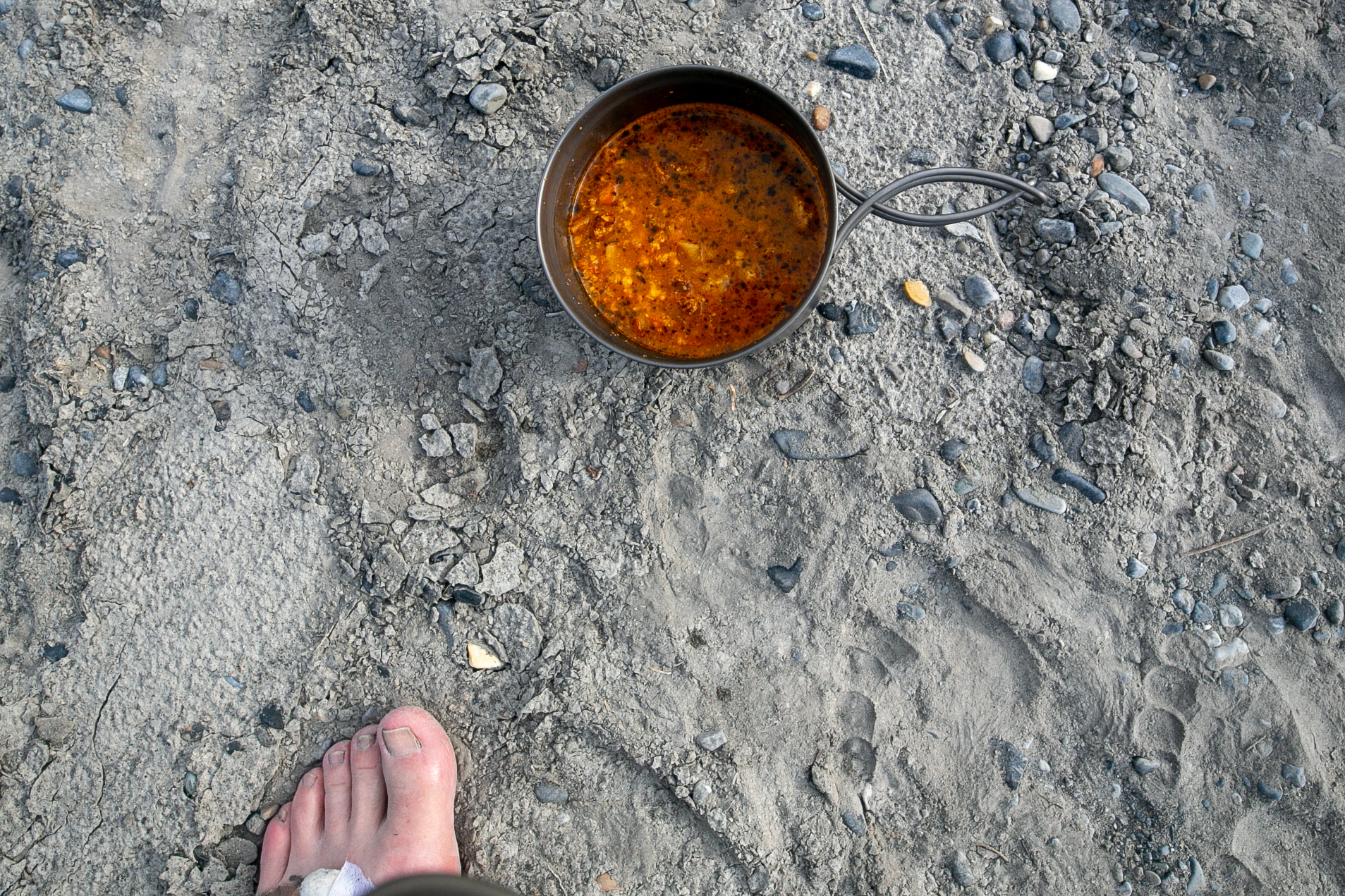
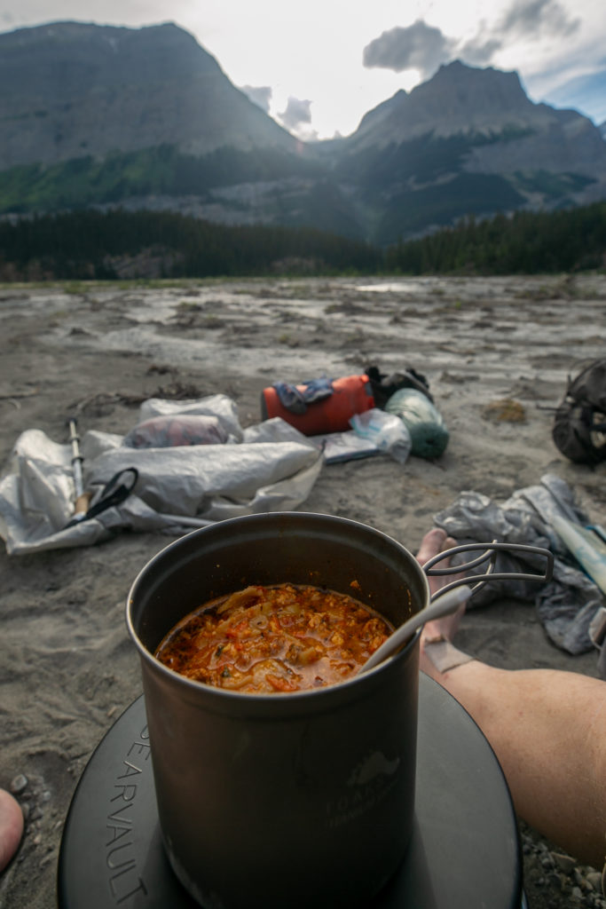
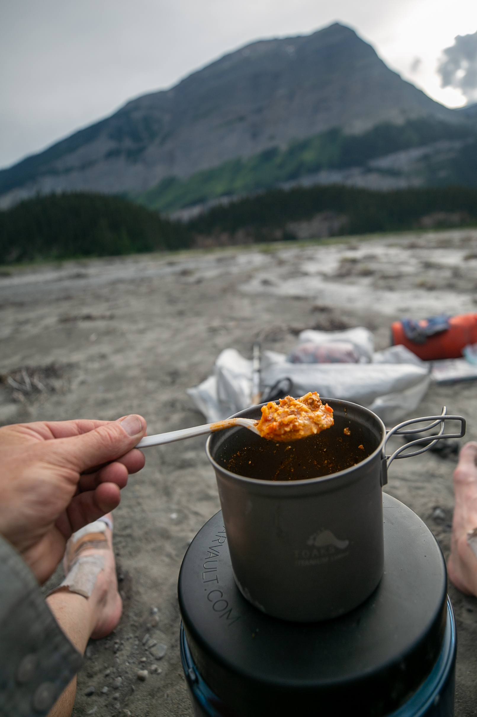
It was very odd but as the evening progressed the water level around the sand bar appeared to be rising. I understand the increased melt in the afternoon sun would promote a higher streamflow in glacial feed streams and rivers. I would have thought as the sun was going down the peak flow should have abated but this did not seem to be the case. We were all pretty sure that the sandbar would not flood but we were not 100% sure and no one really wanted to wake up in the middle of the night with the river flowing through their tent. So after dinner we moved off the sandbar onto the shore but I still had trouble staking the tent. I had to place rocks on the stakes to keep them in. This is one of those times when I wished I had my additional poles for my Duplex tent to make it free standing. As we were setting up our tents a family of three came by and the smallest member of the family was just a baby! They stopped to talk for a couple of minutes. They had attempted to thru hike last summer, 2021, but had to abandon on Section D due to Covid 19. So they were finishing up this summer. They have a blog of their adventures, Backpacks and Bike Racks. When checking out their blog I found a reference to the three of us:
“And then we reached the beautiful relief of the floodplain again and to my delight, there were a couple tents pitched! And other hikers! A group of three that decided to do Section D as a section hike for some reason.”
They continued their hike and camped closer to Horse Camp but still on the river bank as we had done. I could see their tent in the distance was a Zpacks Duplex like mine but peach coloured. As a bonus for GDT hikers they had left drinks, mixture of pop and beer, under their car back at the Mistaya Canyon parking lot and told us to help ourselves.
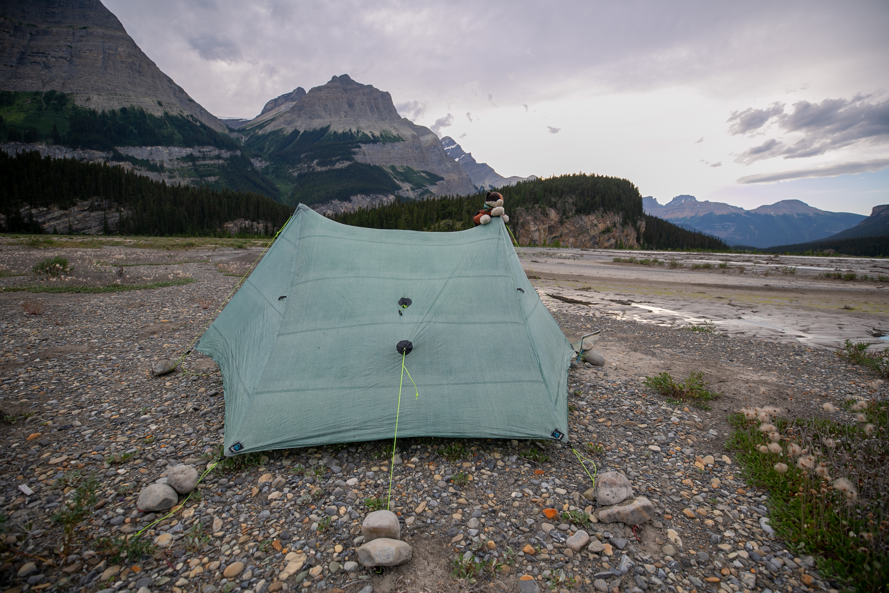
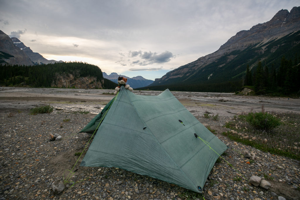
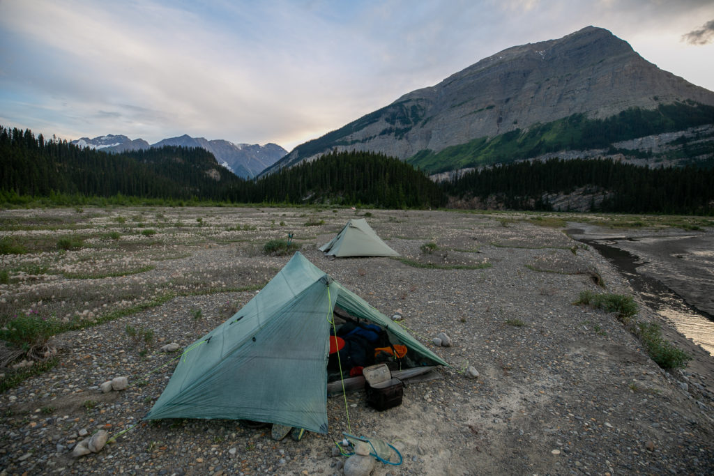
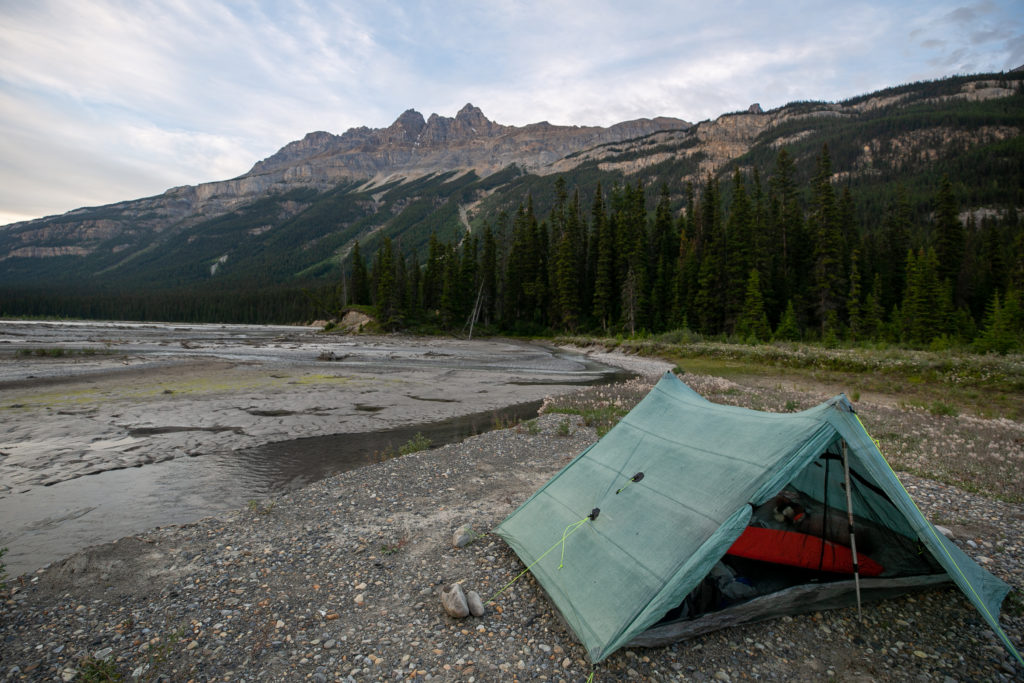
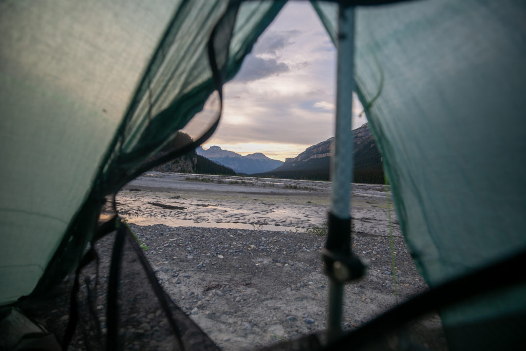
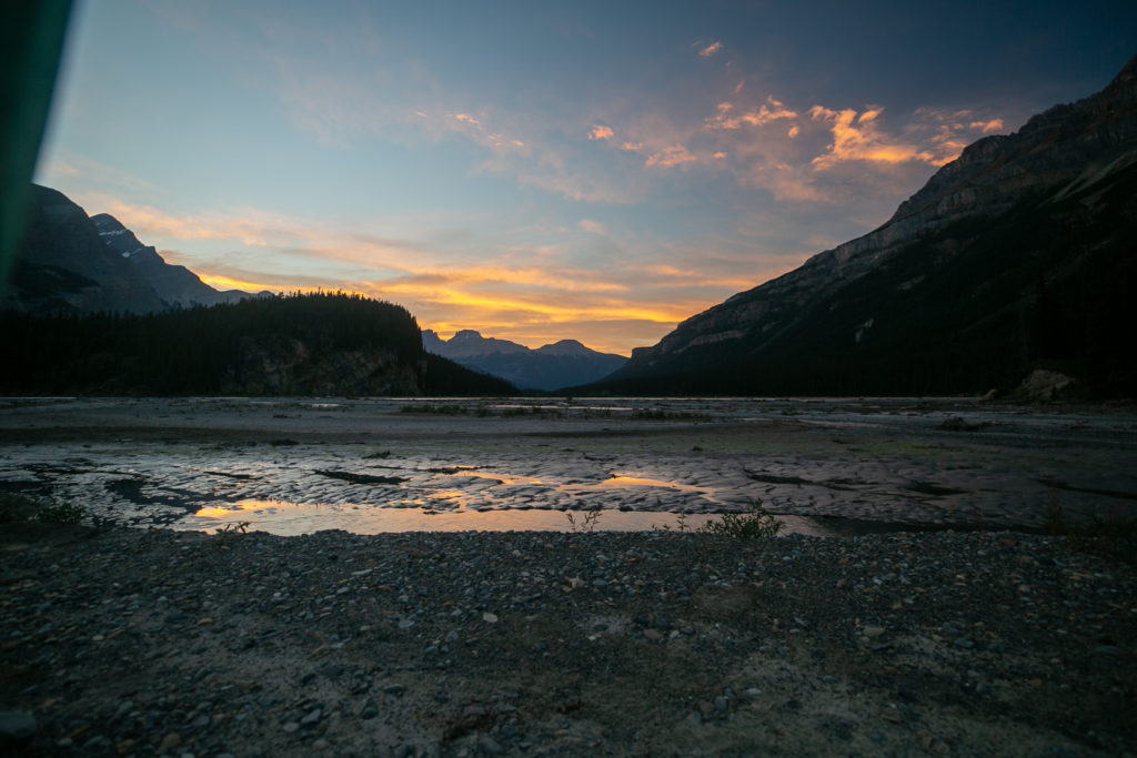
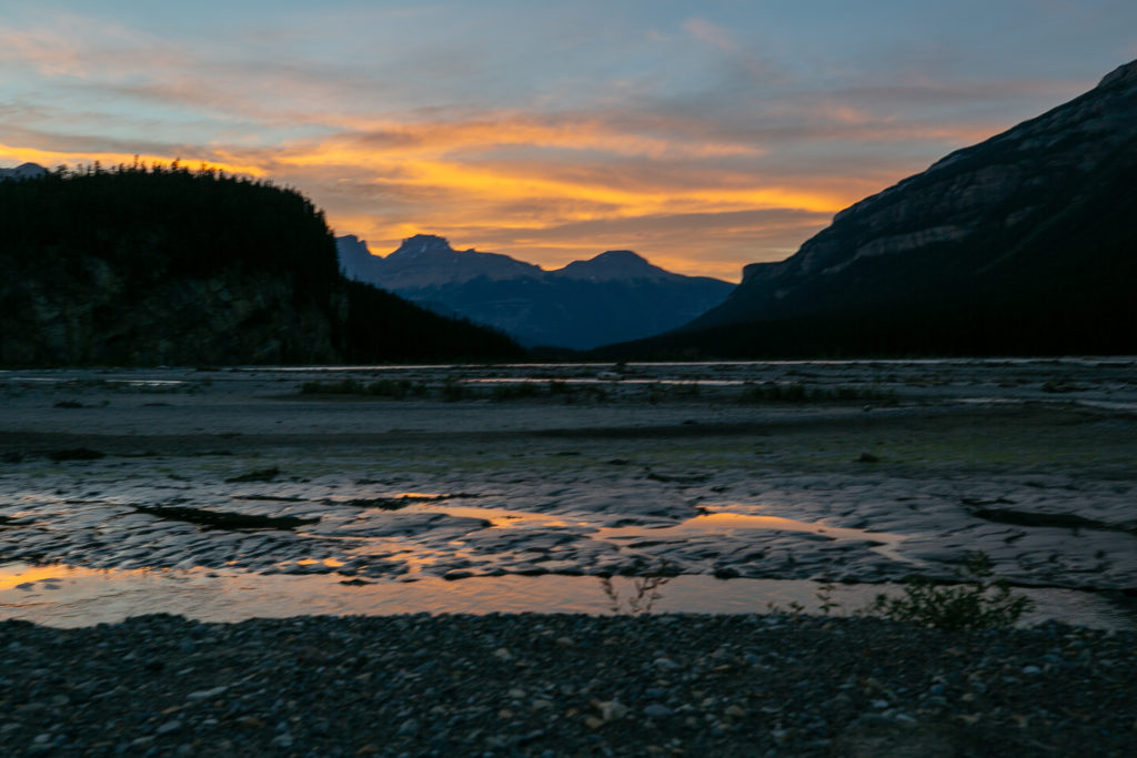
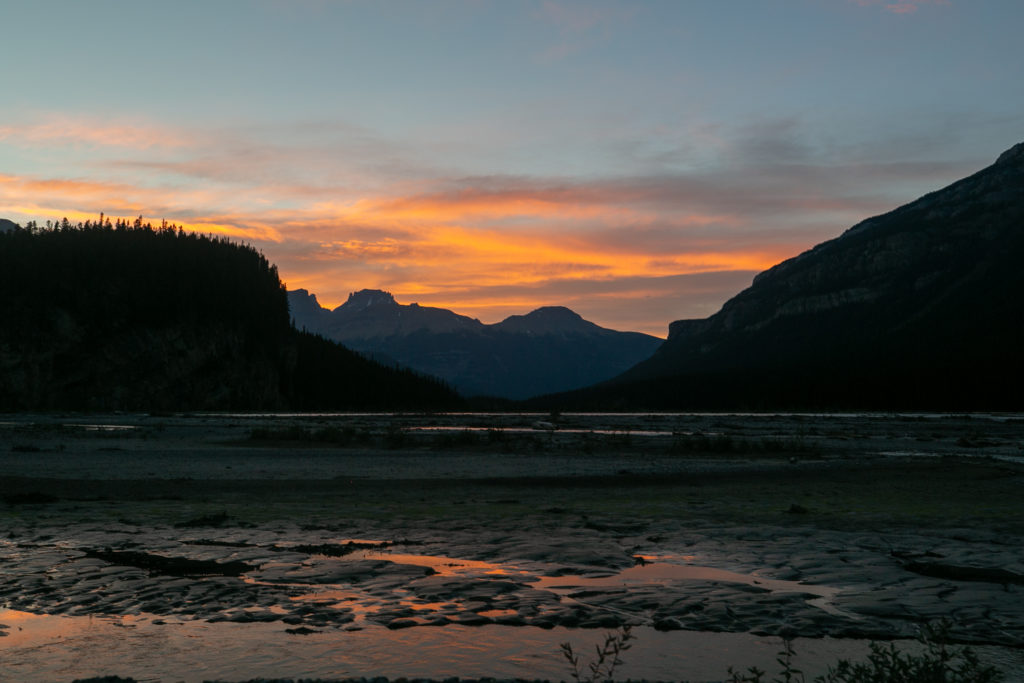
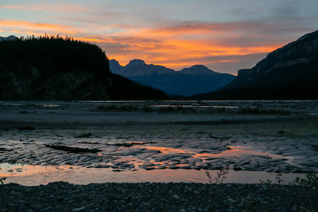
I spent quite some time taking photos of the night sky over the flood plain. At 8:10pm the sky really started to light up. As I was taking photos I heard Lillian ask Sara what she was doing. Sara said she heard Ian “Shutterbugging” (Shutterbug is my trail name) so she was looking out the tent to see what I was taking photos of. They were plenty of ohhs and ahhs from their tent as they took in the night sky. I found it amusing that my trail name had become a verb.
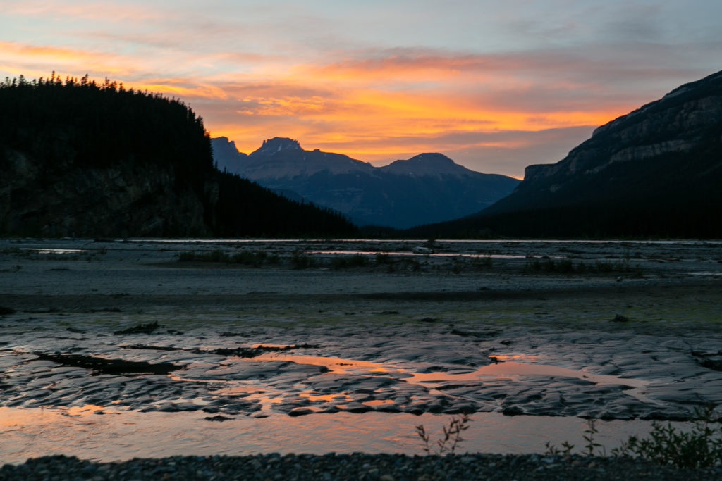
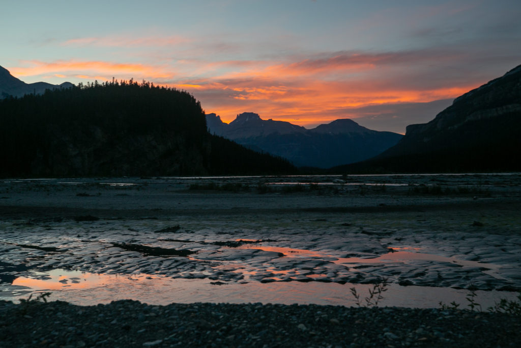
I cannot believe with all the doubts that had swirled through my head that I am going to finish Section D. It has been an absolutely amazing and wonderful trip and I am going to be sad when it ends tomorrow.
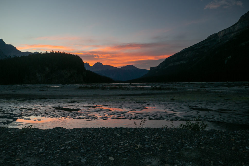
Today was day of many days. There was the avalanche slopes, walking through the river, the pleasant trail along the river, snacks by a waterfall, deadfall, the pass, the bushwhacking and the flood plain. Just one more sleep until I see Laura and Margaux. Good night from the Howse Flood Plain.
