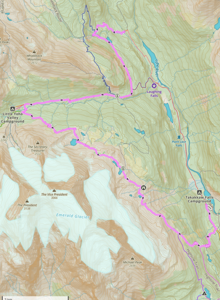
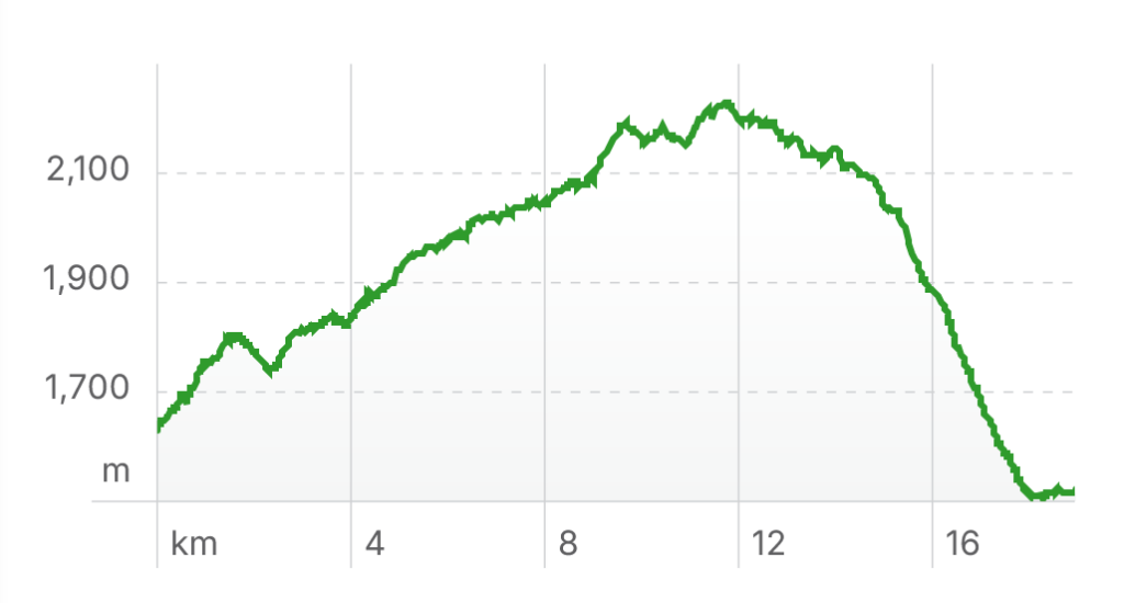
Twin Falls CG to Takakkaw Falls TH via The Iceline, 18.9 km, 690 m elevation gain, 823 m elevation loss, 5 hrs.
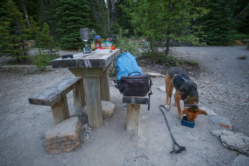
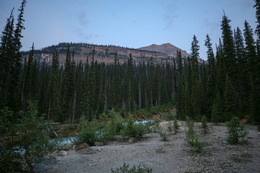
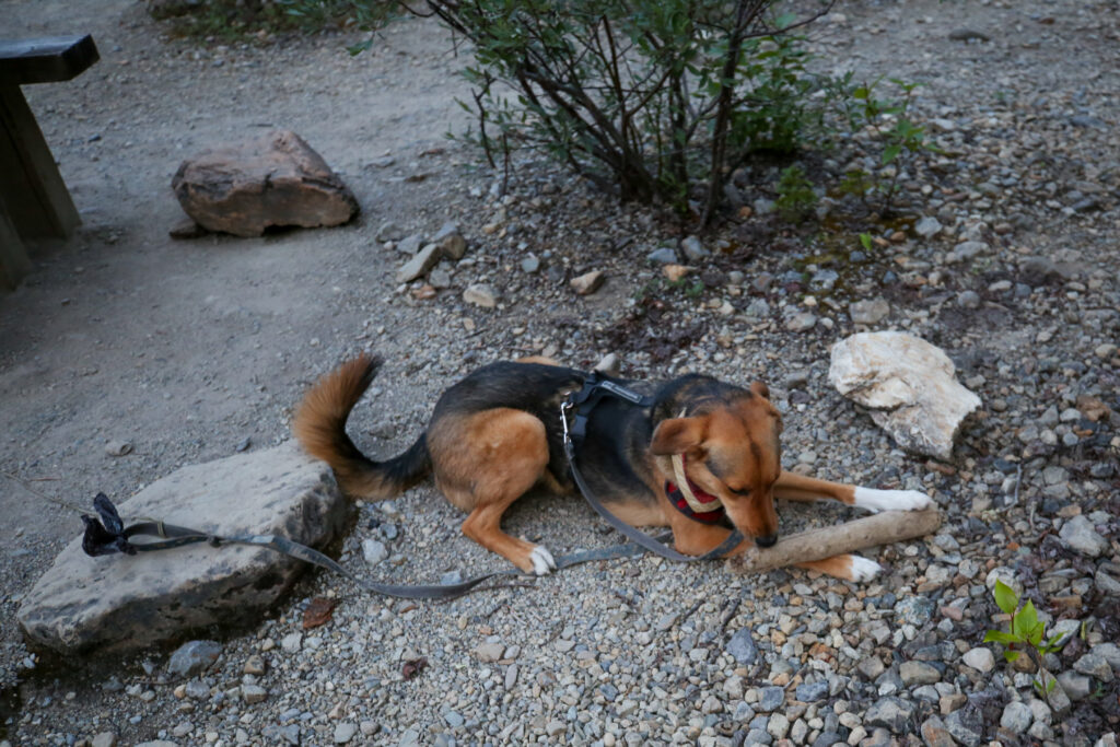
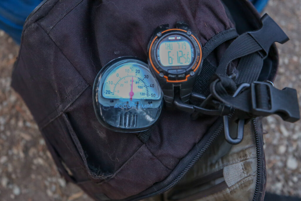
We were first up at the campground and even leaving at 6:15 am we saw no signs of movement except for Mikey. I had wanted to get going a little earlier but Margaux does not help much when it comes to packing up the campsite.
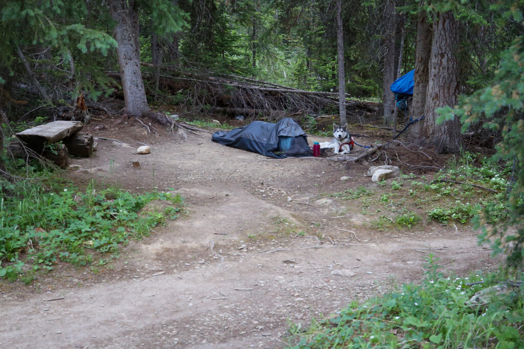
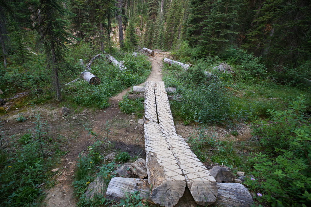
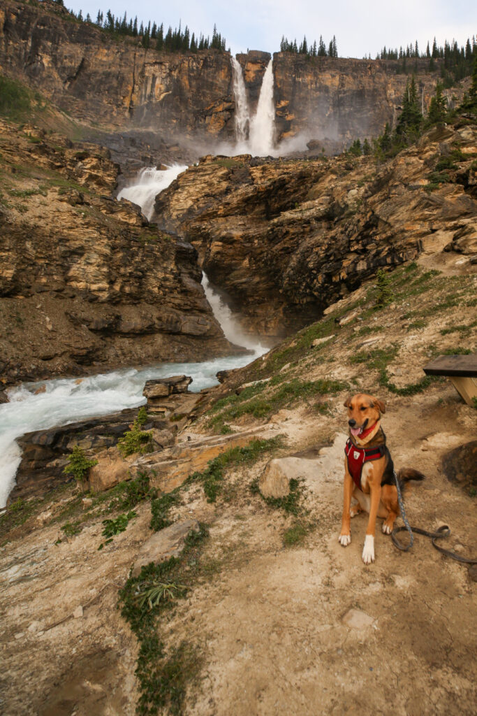
From our campsite to Twin Falls Chalet and viewpoint it is a distance of 1.6 km with an elevation gain of 160 m along forested trail. We arrived to a full view of the falls with mostly blue skies in just over 20 minutes.
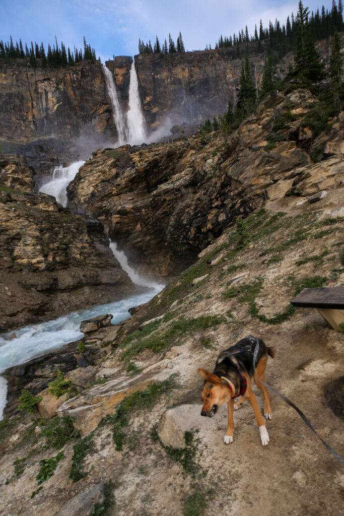
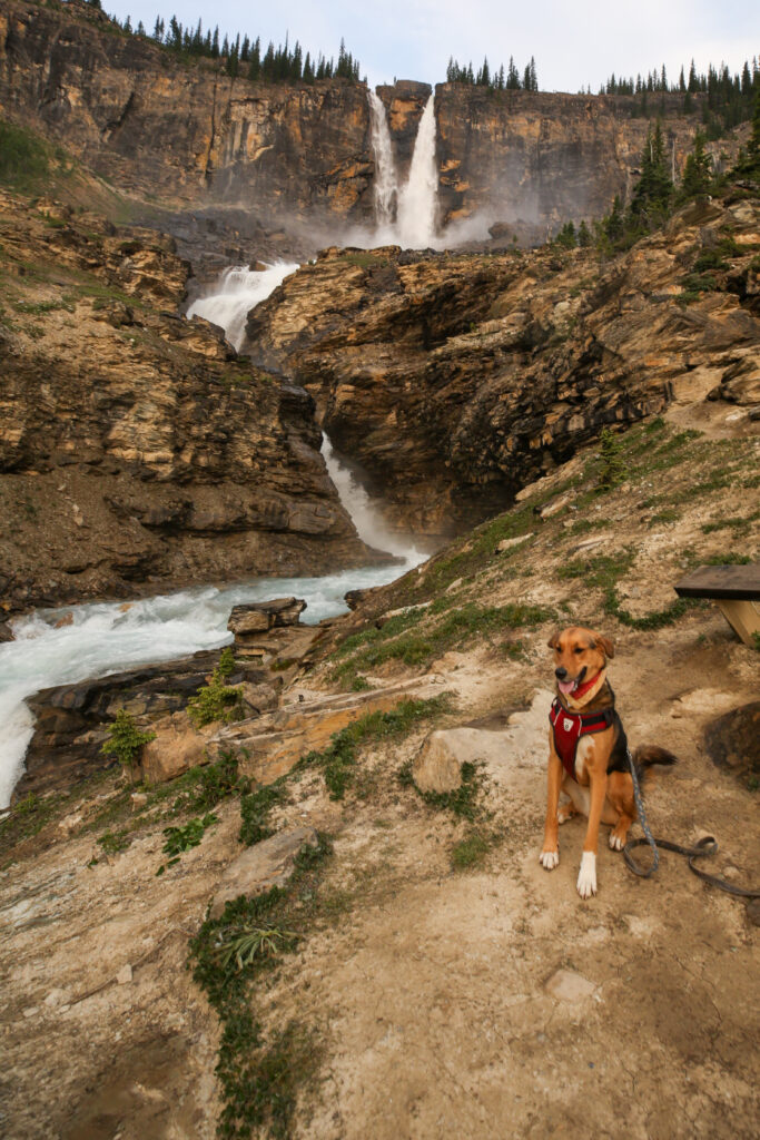
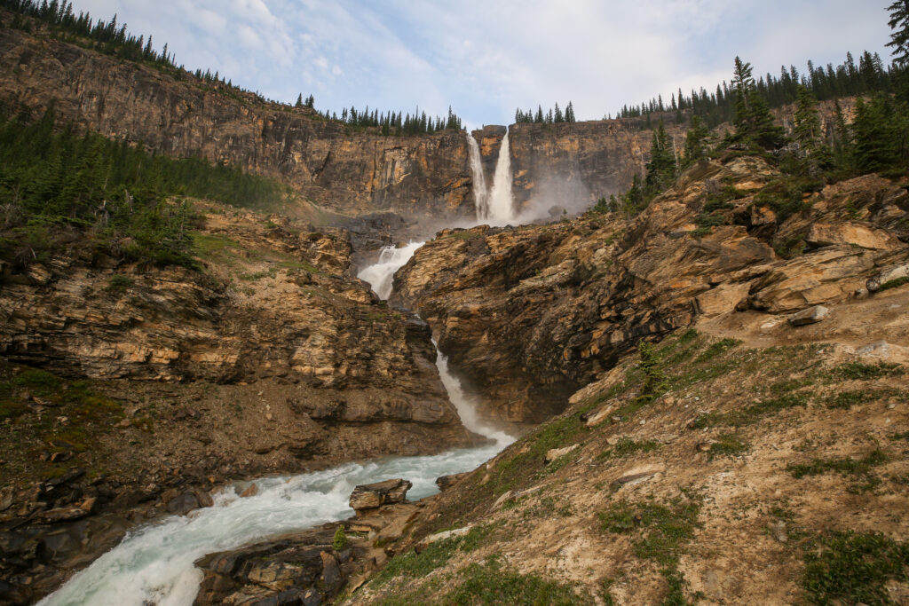
It is only about a half hour walk to the to the top of Twin Falls which rewards the hiker with an amazing view of the Yoho Valley below. This can be done as an out and back or you can continue onto and over the Whaleback. I have done both variants in the past but because of the expected extreme heat forecasted on this day I decided to skip the Whaleback and the extra 300 m of elevation it would entail.
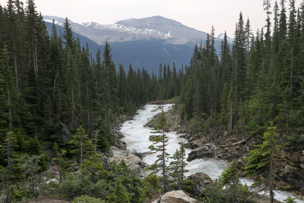
We were in the west end of the park the trail that we needed to access the Iceline was the Little Yoho Valley Trail. Since we were not going over the Whaleback our trail of choice on this trip from Twin Falls would be the Marpole Lake Connector.
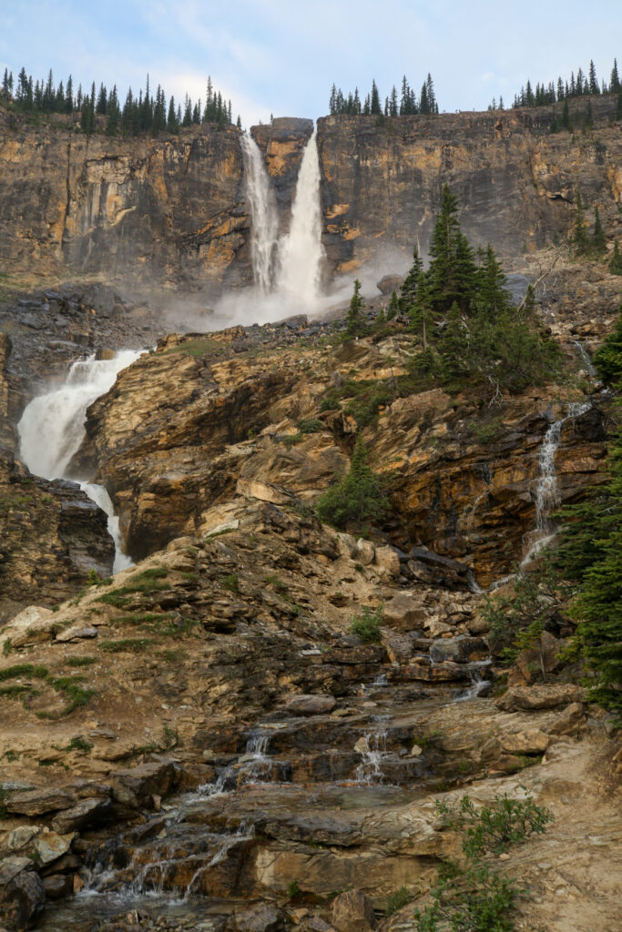
One piece of trivia about Twin Falls is that back in the 1920’s Parks Canada wanted to equalize the flow through each chute to make the falls more symmetrical. I guess they felt they could improve on what Mother Nature had done. They attempted to accomplish this by blasting open part of the smaller chute with dynamite. The venture was extremely risky as the workers had to drill and set charges as the water charged by working mere feet from the cliff. Much to everyone’s dismay the rock from the initial blast fell into the chute and plugged it momentarily blocking any flow through the chute. This was the exact opposite of what was intended. The workers frantically cleared the chute and abandoned any further attempts to interfere with Mother Nature and flow of water.
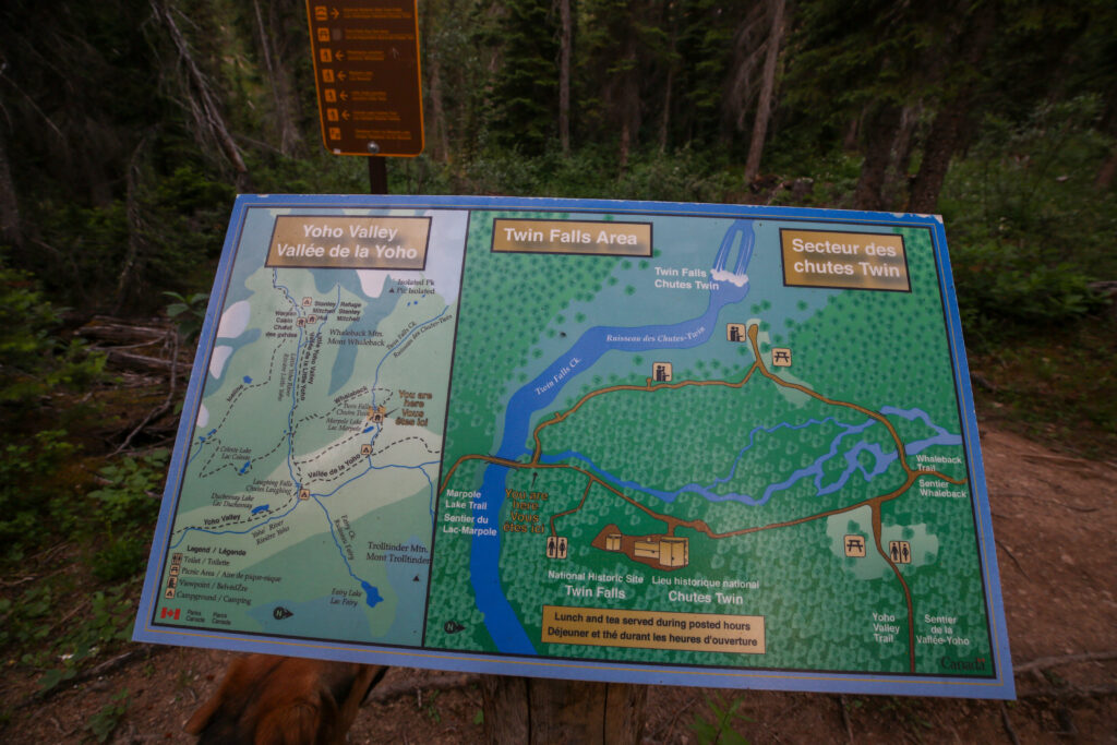
Parks Canada is letting the Tea House fall into disrepair. I wrote about it on my last trip to area with Margaux last year in 2023.
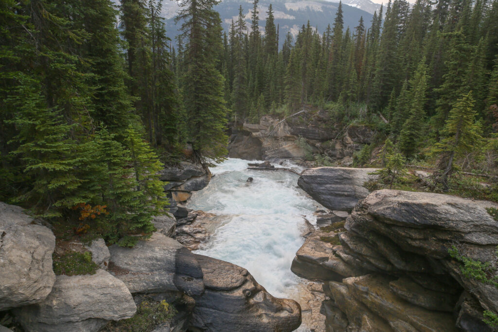
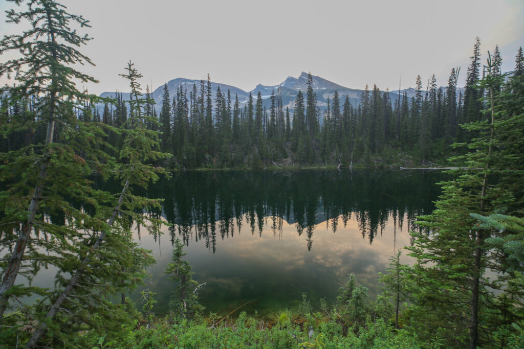
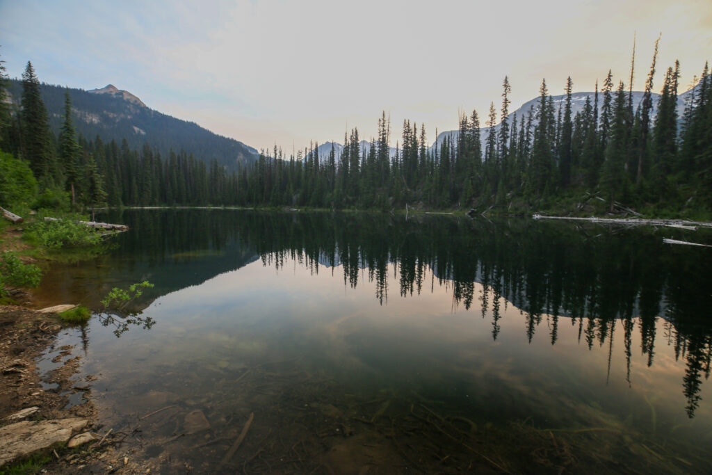
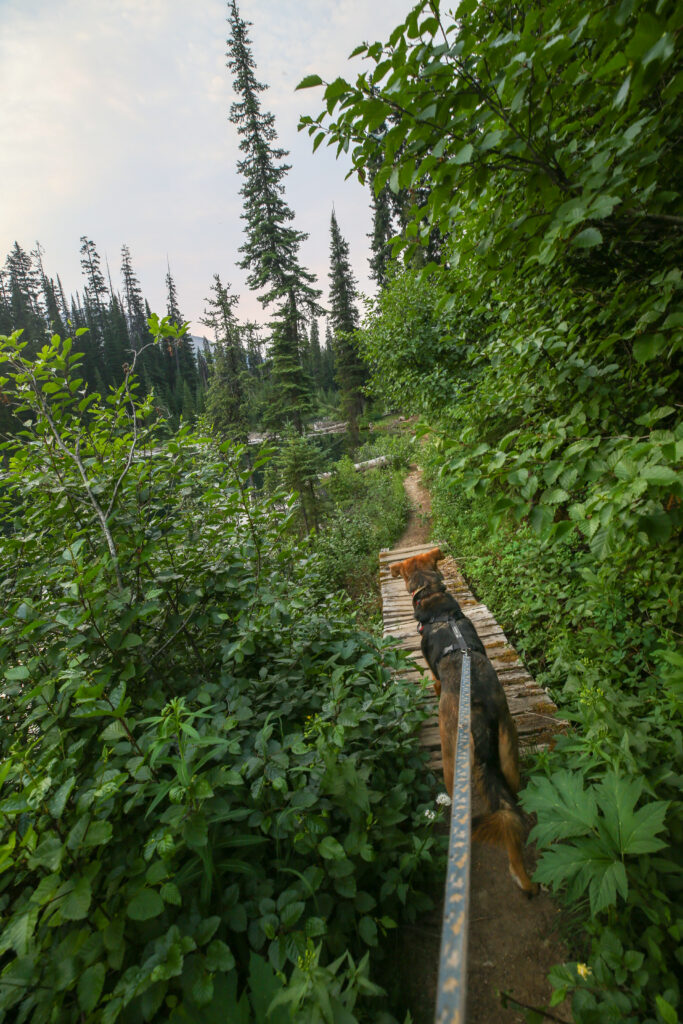
The trail near the lake is very overgrown with thick trees. I was concerned about bears Margaux like many dogs does not like yelling so I just talk to the bears very loudly to let them know we are approaching. Seemed to work as we did not see any signs of wildlife.
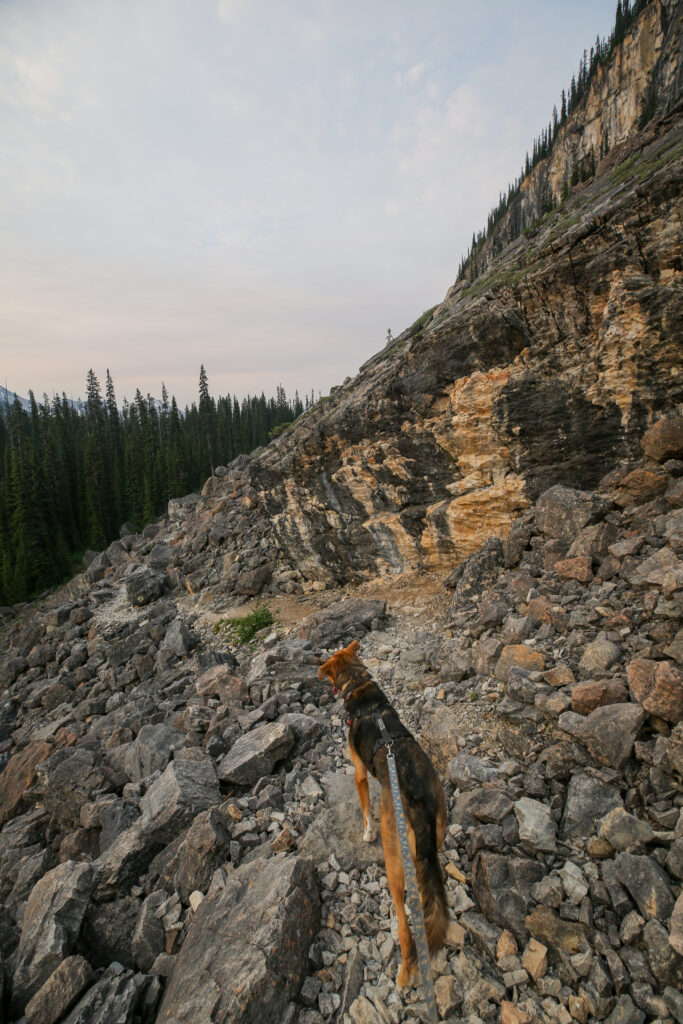
After passing by the lake the trail winds up quickly through a couple of switchbacks arriving at a massive boulder field spewing from the base of the cliffs below the Whaleback. The rocks of the boulder field are a dark limestone. Last time I was here with Volcano the heat reflecting off the rocks combined with a still air made for a very hot crossing. I remember thinking that crossing the boulder field must have been what it felt like to hike in Mordor in Lord of the Rings. On this day it was not quite as hot. Parks Canada have done very nice work in cutting a good trail through the rubble. With Margaux’s exceptional agility she had no trouble negotiating the rocks on trail.
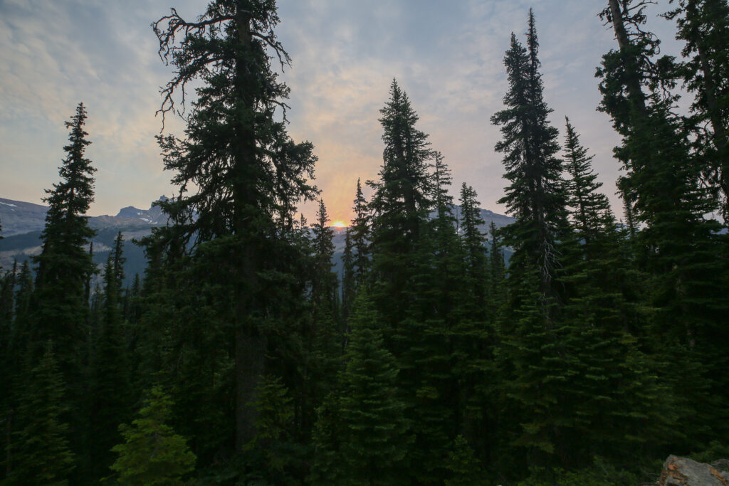
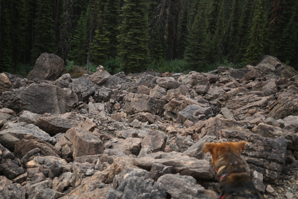
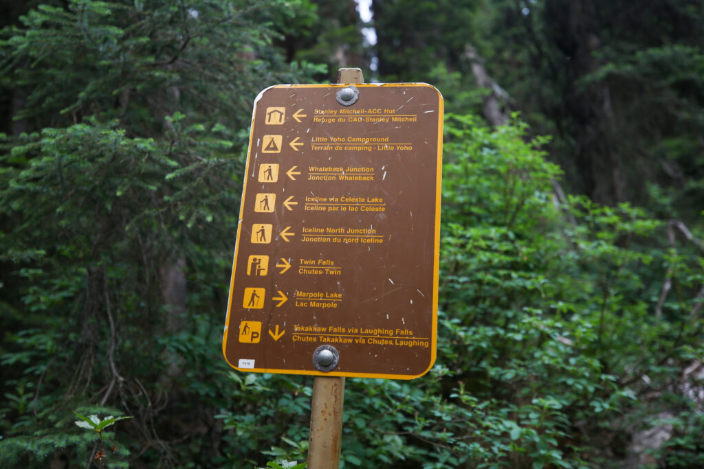
The Marpole Lake Connector Trail is just 2.4 km in length and we crossed it a little under 40 minutes. So far we had not seen anyone else on trail.
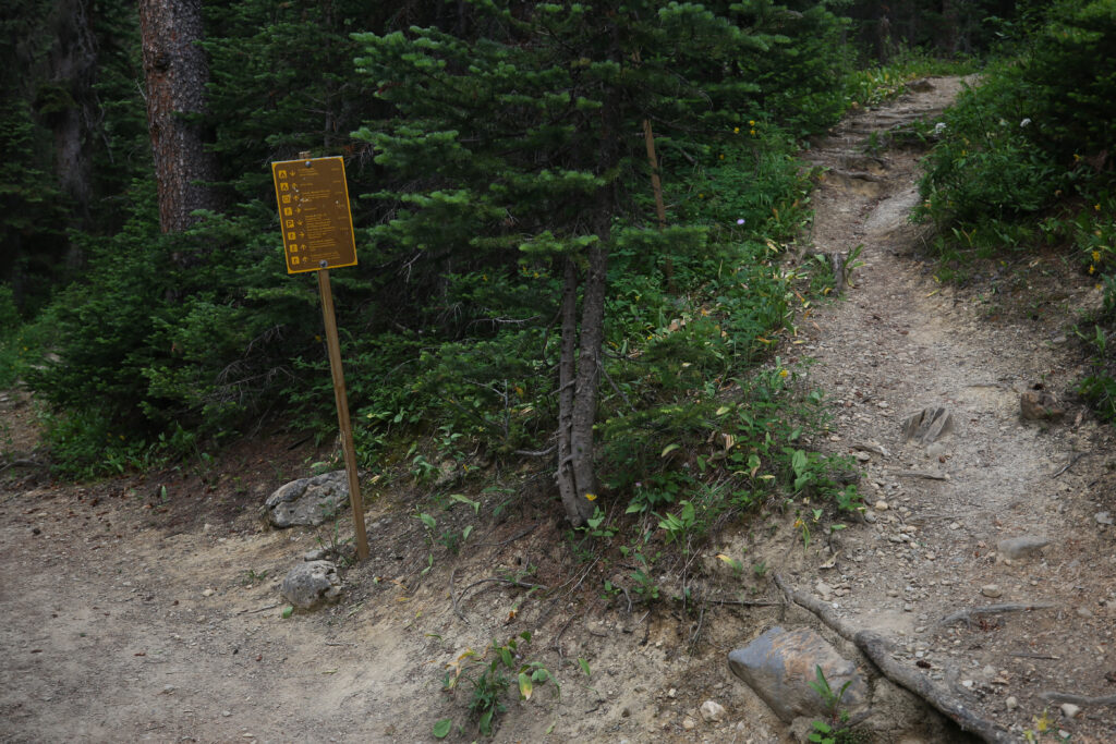
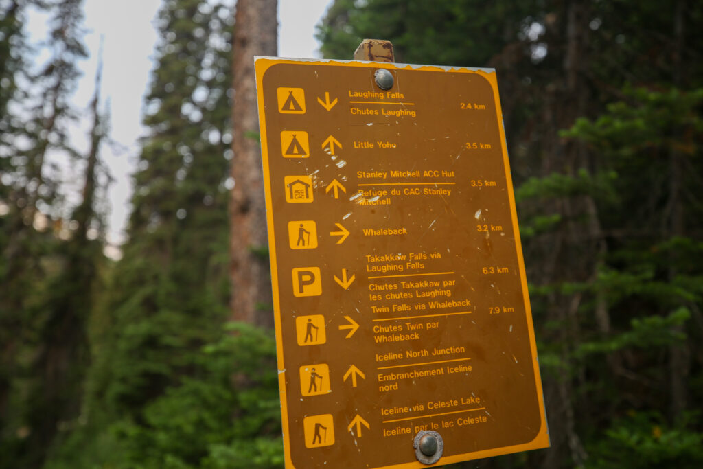
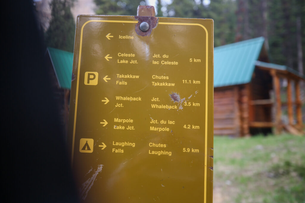
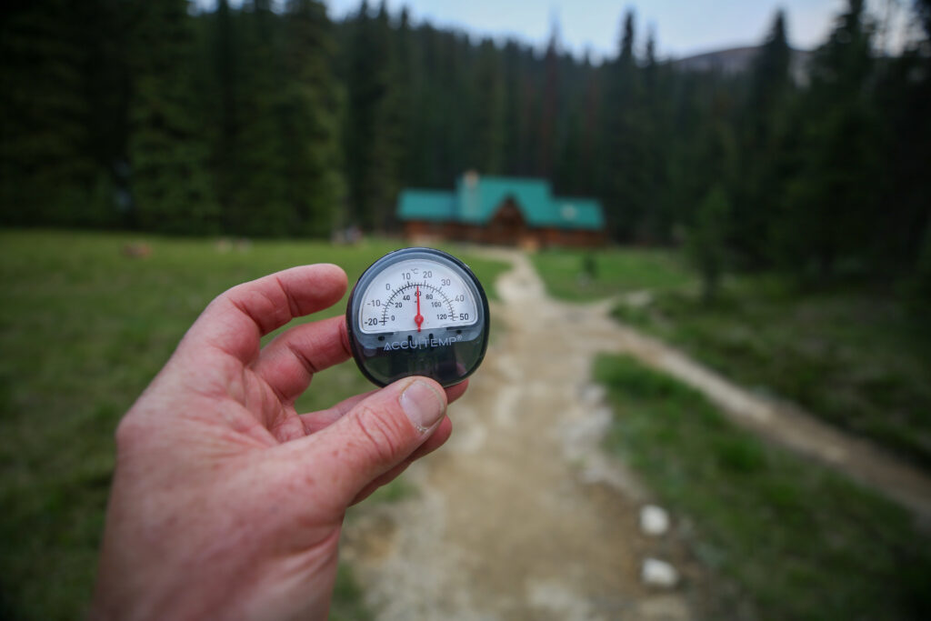
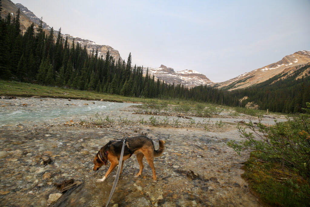
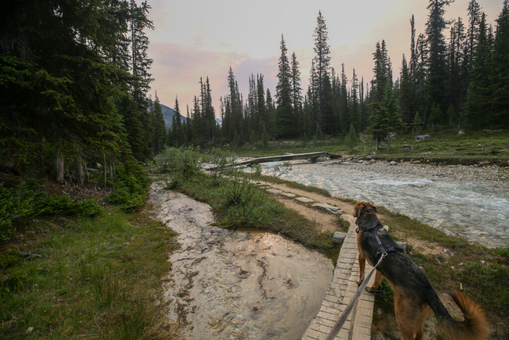
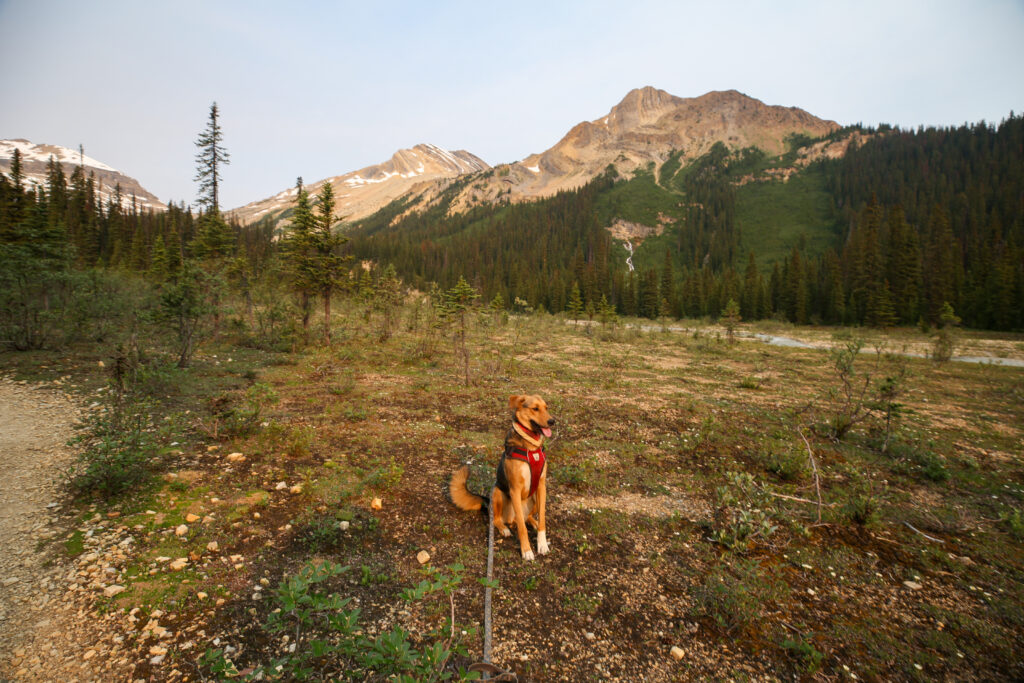
We stopped after crossing the Little Yoho River for both us to properly feed and rehydrate. I had some diluted gatorade from my bottle and a mint flavoured Builder Bar. For Margaux I carry a collapsible water bowl where I mix some dry kibble with water. At home we put water in Margaux’s food to slow her eating down but on the trail it also serves as way to make sure she gets enough to drink. Margaux has never appeared to suffer in the heat but she is a real slobbery girl when it is hot and I do worry about her becoming dehydrated. There are lots of streams on the Iceline but I tried to make sure she was never in need of water. Once back on trail we quickly head uphill on the last steep section of the day. It is really not that bad as it is only steep for about 10 minutes before you pop out onto the moraines and the trail level off.
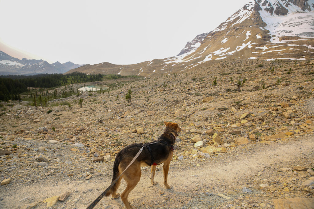
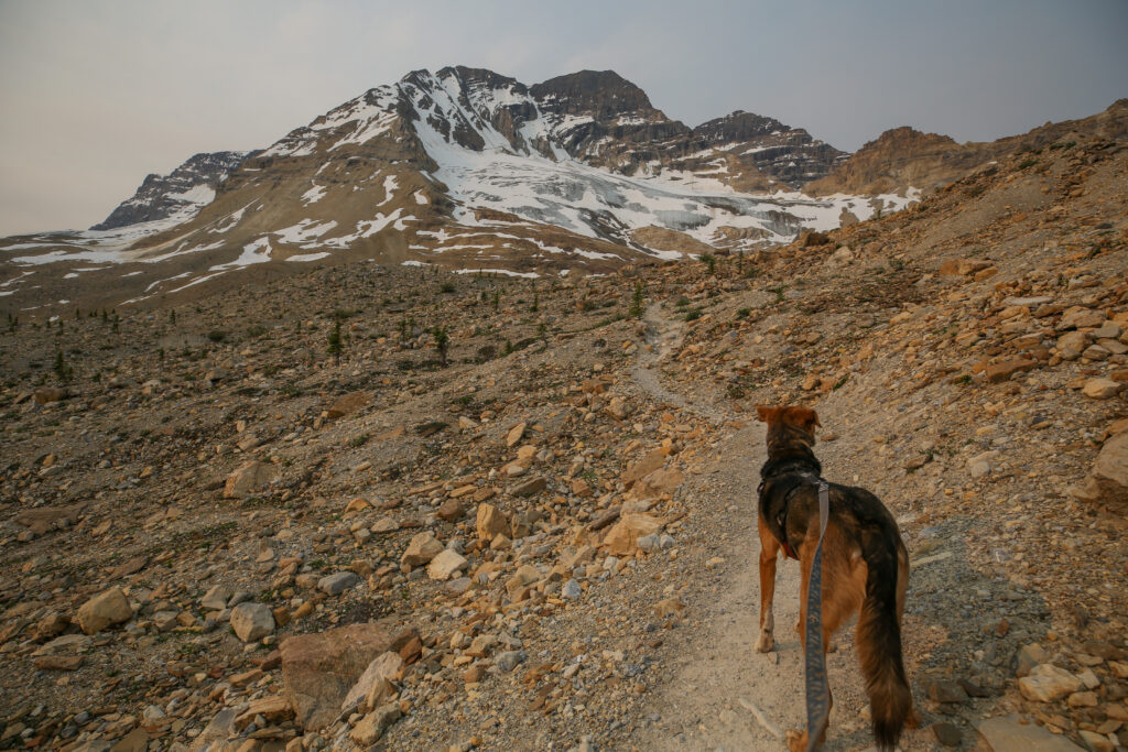
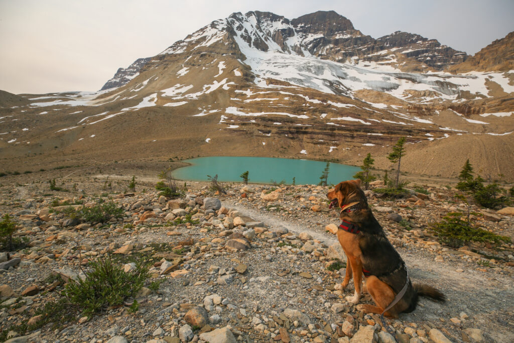
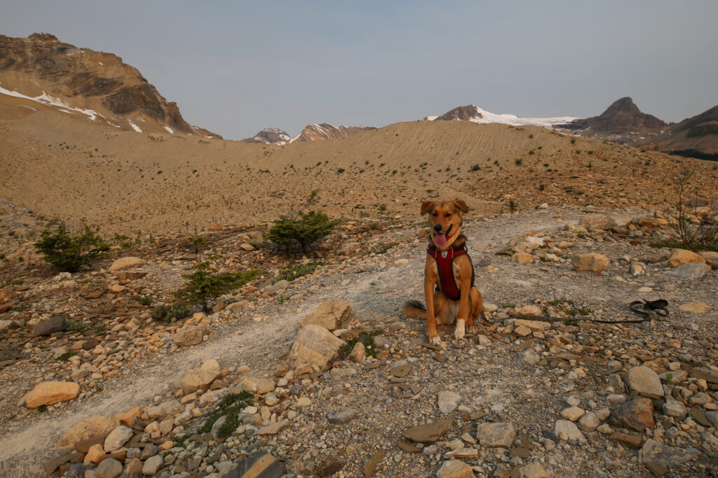
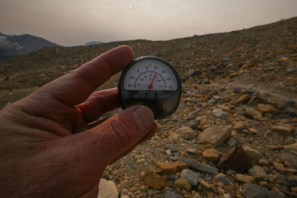
We saw our first people on trail just before the high point of the Iceline at about 9:30 am. They were day hikers and were trying to do the loop from Takakkaw Falls before the heat kicked in.
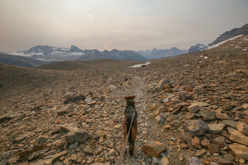
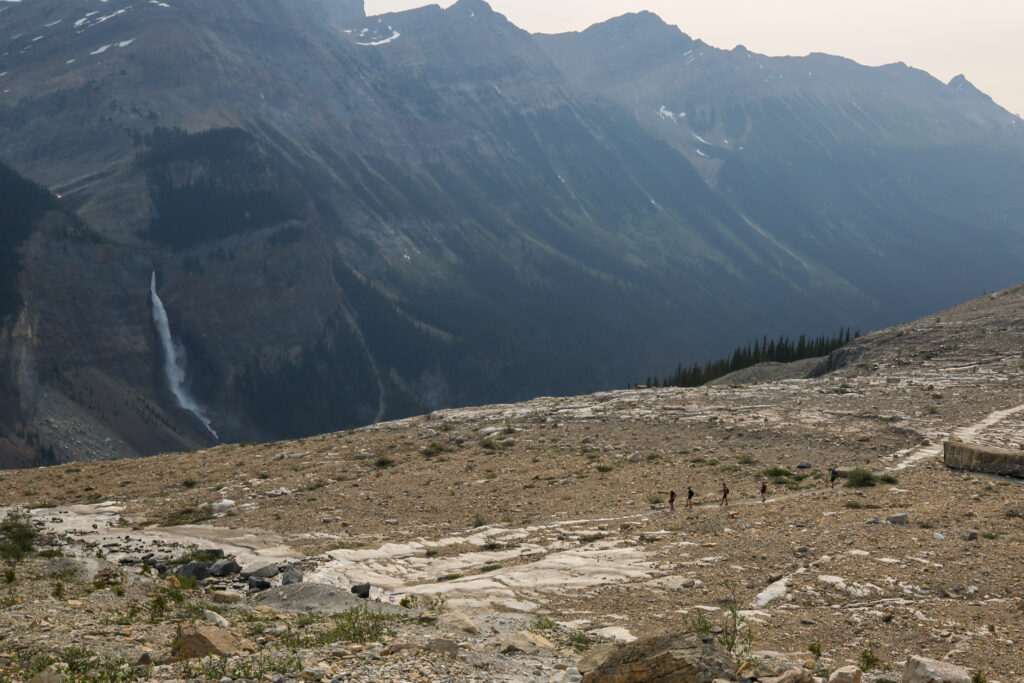
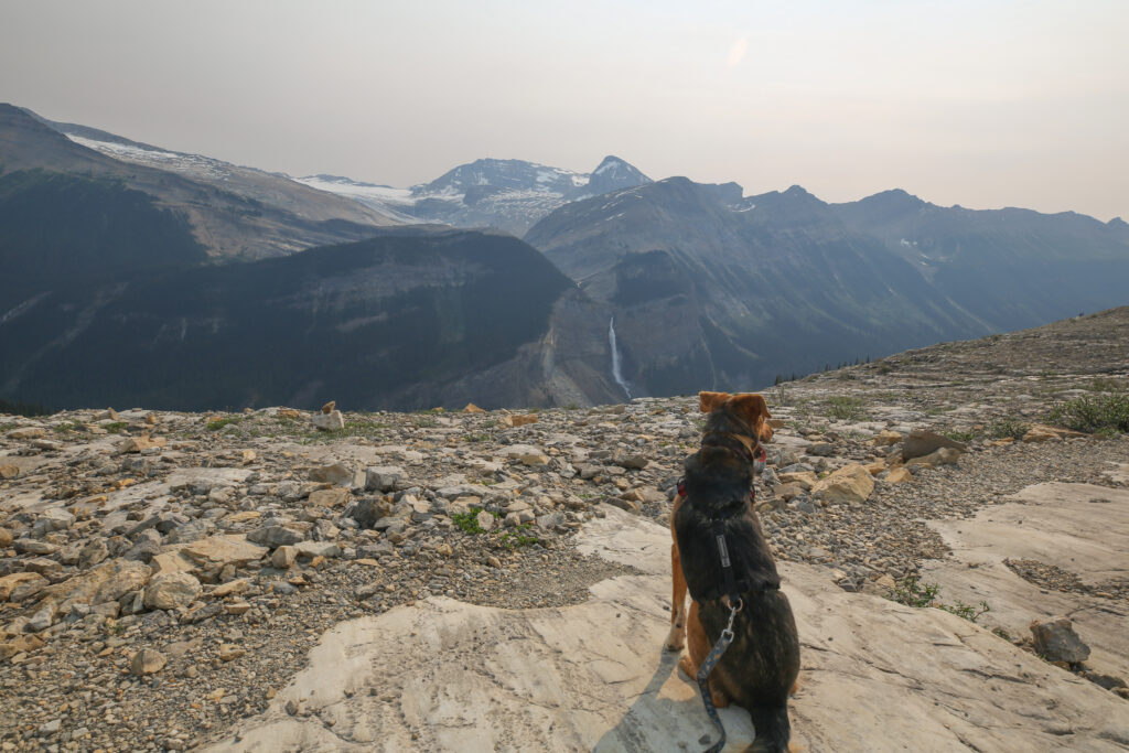
We slowly started seeing more people on the trail. It was getting very warm and I was constantly worried about Margaux dehydrating. There were numerous streams to cross all along the Iceline and Margaux was happily running through them but was not drinking much. At one point I gave put some kibble in her bowl with some water but she turned her nose up at it. I figured she was well hydrated but I did pour a bunch of water over her head and back. She was not impressed but I felt better.
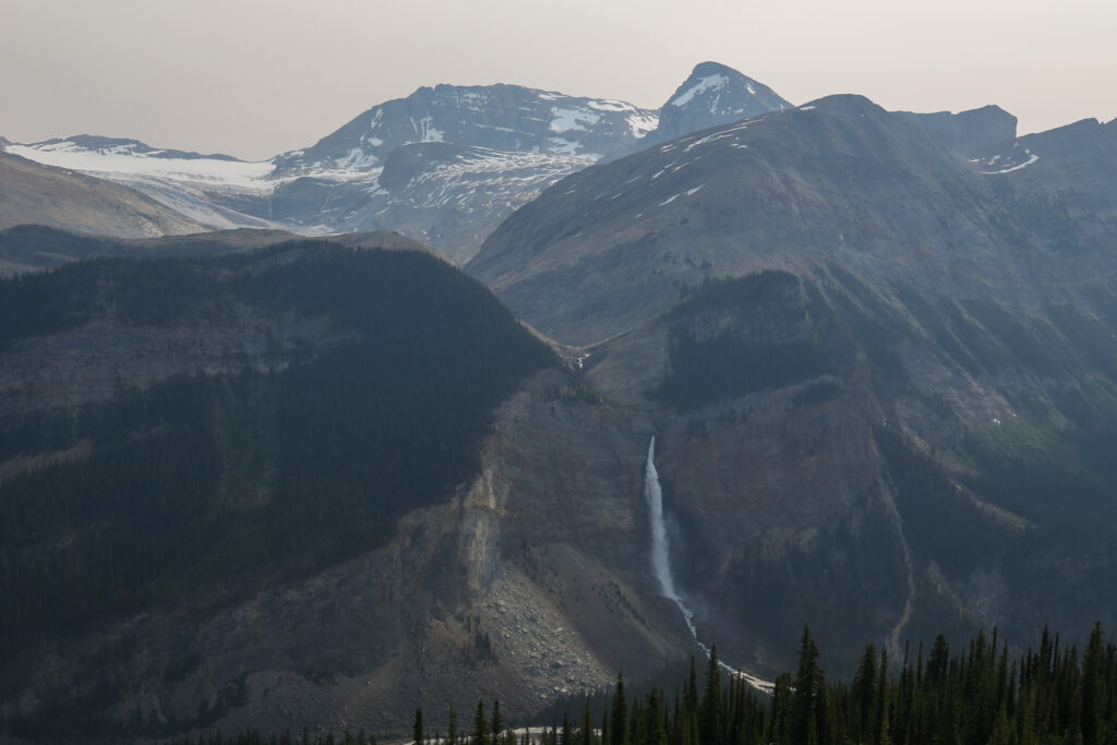
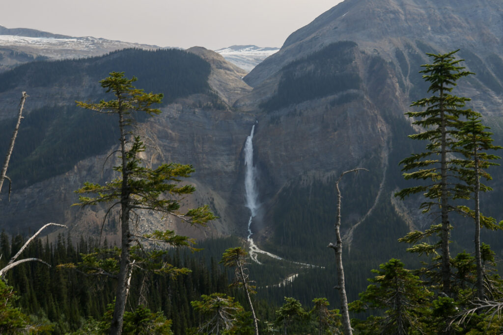
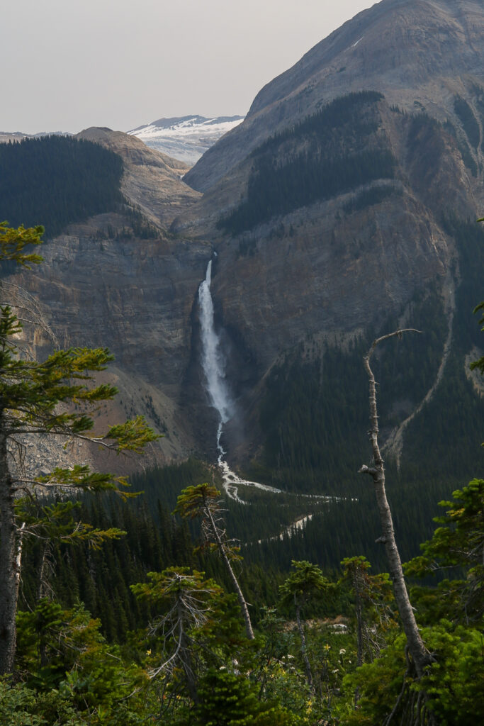
As we started to descend through treeline at around 10:30 am the number of people really picked up. There were numerous large groups with a couple of the groups pushing around 20 people. Everyone was sweating hard on the uphill in the late morning heat. I was very happy our hike was coming quickly to a conclusion.
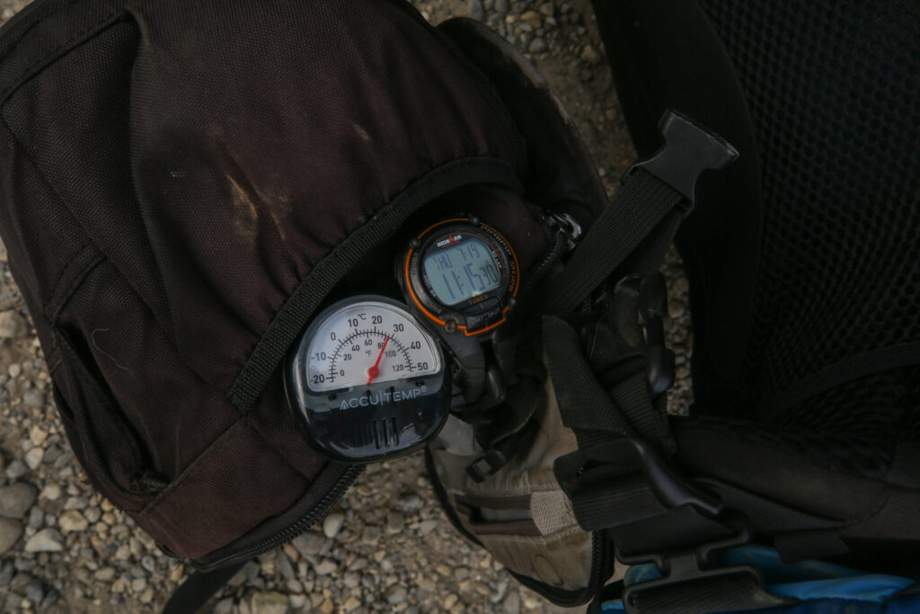
We arrived back at the car at 11:15 am. We had covered 19 km in 5 hrs gaining nearly 700 m of elevation. I really did not like being so focused on finishing quickly, it is really not my preferred hiking mode. I was very happy though to have had shared a thrilling hike with Margaux that passed through some spectacular scenery but finished before it really got hot. I quickly started the car and cranked the air conditioning. I hung out with Margaux in the shade and gave the car a few minutes to cool off before letting Margaux into the car to relax while I put the backpack away and switched into my sandals for the 90 minutes drive home.
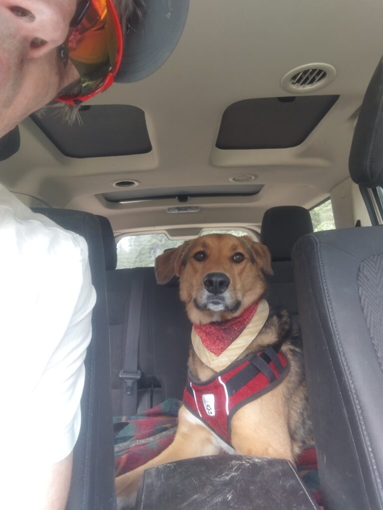

It was an interesting little two day adventure. The trip did reaffirm that any day with Margaux on trail is a good day on trail.
