While many people hike Centennial Ridge as an out and back from Ribbon Creek, a challenging and inspiring hike can be made going from Dead Man’s Flats to Ribbon Creek.
June 24, 2018. From Skogan Pass Trailhead (Dead Mans Flat’s) to Ribbon Creek Day Use Area Parking Lot, Distance 20 km, Elevation Loss/Gain 1450m, time 8 hrs 5 min.
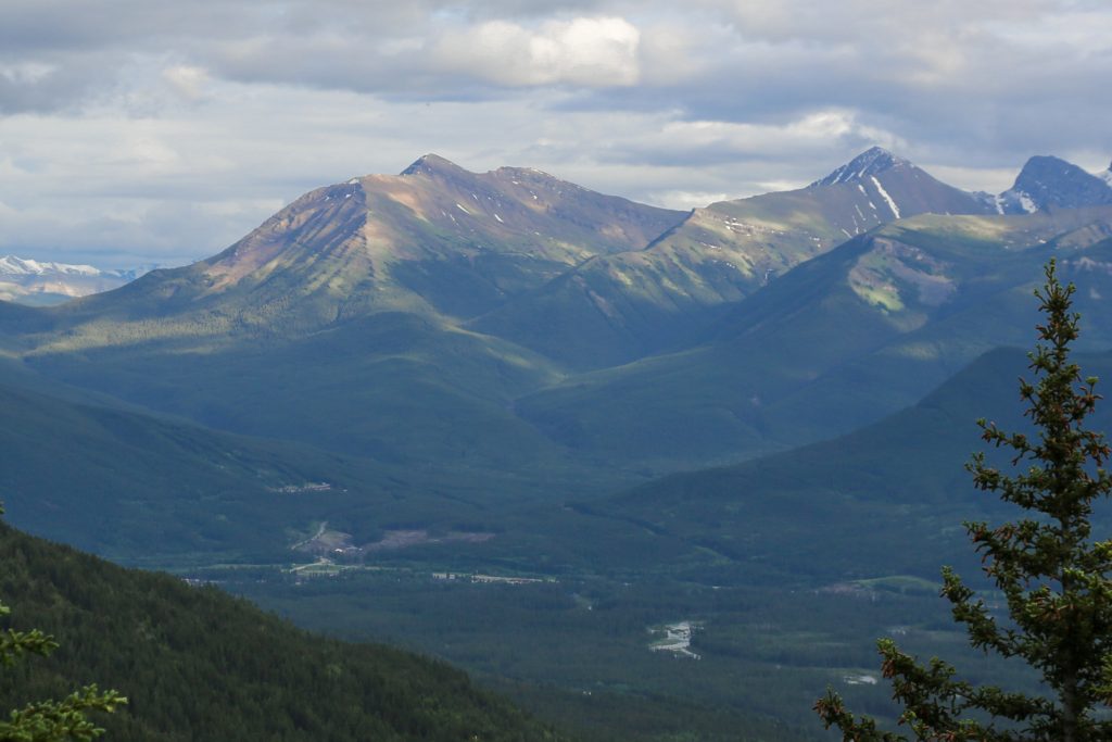
The ridge on Mt Allan is a prominent feature when looking down the Bow Valley from Canmore. The long ridge just screams out to be hiked. I found the route description for the north ridge of Mt Allan in Gillean Daffern’s Kananasksis Country Trail Guides Volume 3. The trail description for the south ridge known as Centennial Ridge is described in Gillean Daffern’s Kananasksis Trail Guide Volume 1. In our preparation for our GR20 trip coming up later in the summer Micah and I thought that it would be a good training hike to hike both ridges of Mt Allan as a point to point hike traveling north to south. The elevation of 1500 m up and down would be similar to some of the days we would have on our upcoming trip. Planning note the route up Mt Allan is closed from December 1st to June 21st for spring lambing.
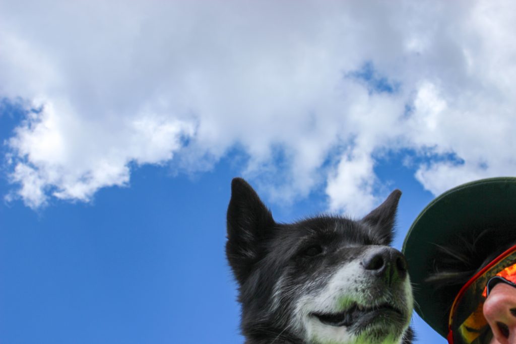
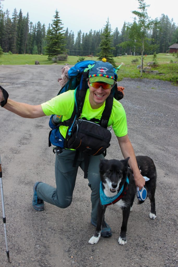
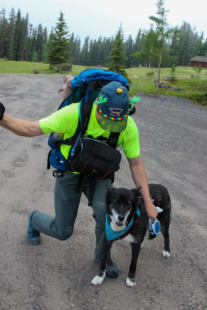
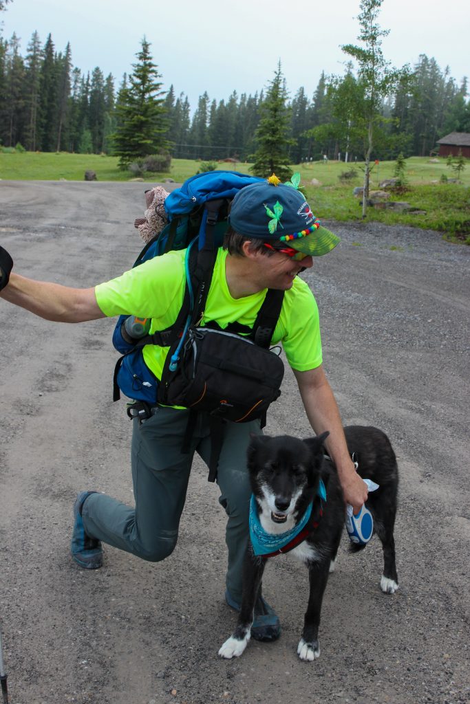
This was our first full summer with Volcano and would be her biggest hike yet. So far in any hike we had completed Volcano had been more than ready for the challenge and always had gas left in the tank looking for another adventure as soon as us humans had finished dinner later in the evening. I was sporting a new hiking hat. I had purchased new hats for Micah , Siobhan and I from Moab Brewery but Micah was annoyed that ours were the same colour. So I had a couple students at school decorate the hat for me. The hat became very popular on the trail and always garnered positive comments.
Our plan was to do a point to point which meant that we had to get a car to our finishing point. For us the easiest way to accomplish this was just to drive a car to the Ribbon Creek parking lot then drive back to the starting point at the Skogan Pass Trailhead at Dead Man’s Flats the morning of the hike. For us since we drive right by the trail head and then have to come back again the round trip to drop off the car was just short of 100 km and took about 1 hr 15 min. Even with the extra time invested we had our packs on and were ready to go at 7:55 am.
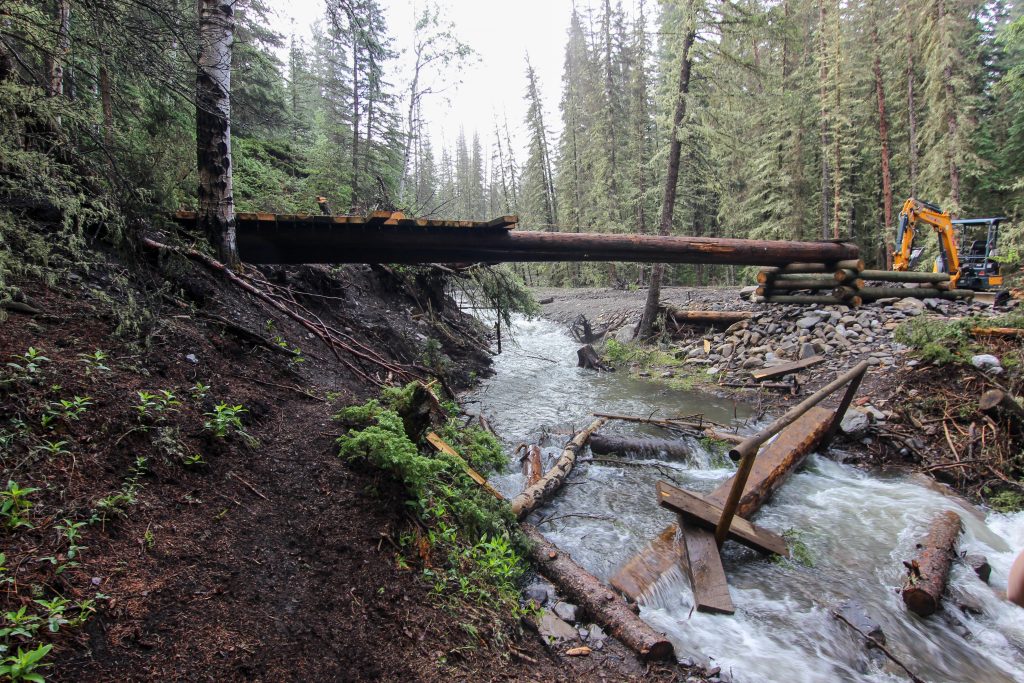
Once heading down the trail we left the Skogan Pass trail after just 300 m and ran into our first obstacle just shy of 1 km. The crossing of Pigeon Creek became a significant challenge when we came across the partial reconstruction of the bridge over the creek. Alberta Parks was obviously still repairing damage from the floods of 2013 and were constructing a new very substantial bridge over the creek. The remains of the previous bridge were still in the creek so we made our way down the bank and after a quick bit of construction to gain access to bridge remains we made our way across the creek. While I was tossing wood around in the creek a group of trail runners came up behind us but they seemed happy to let me play engineer and after we successfully crossed the creek they followed and quickly passed us.
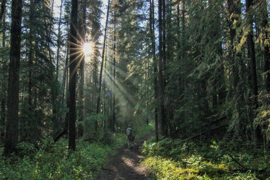
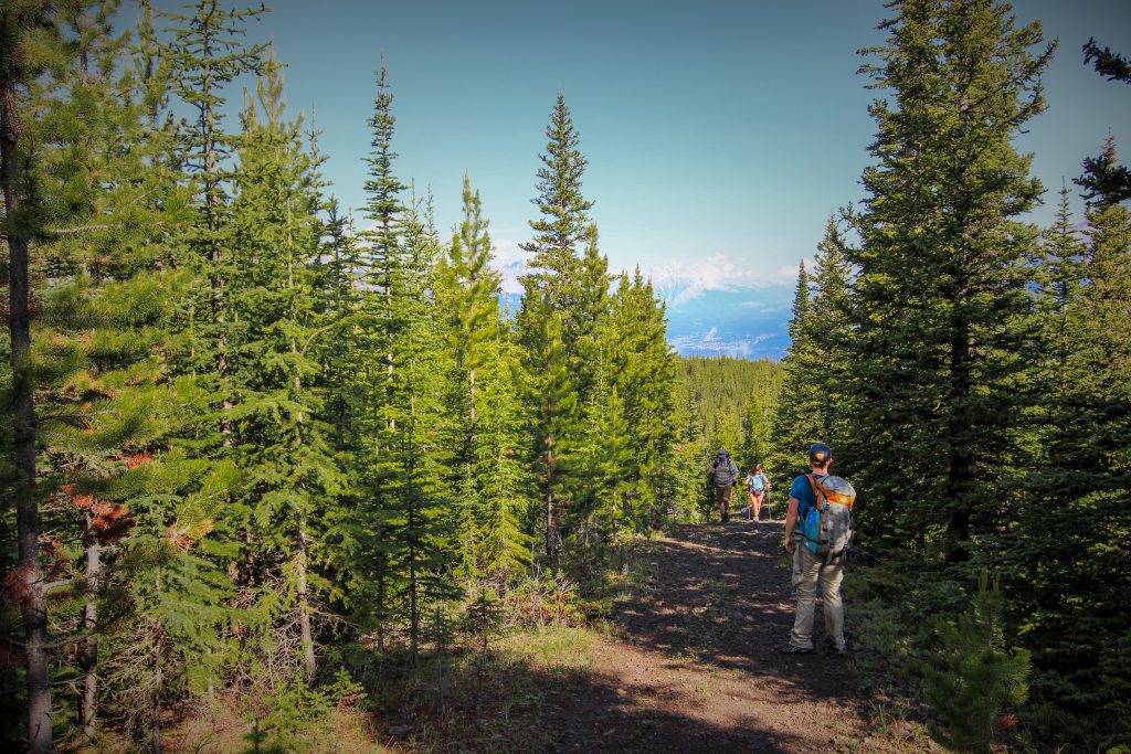
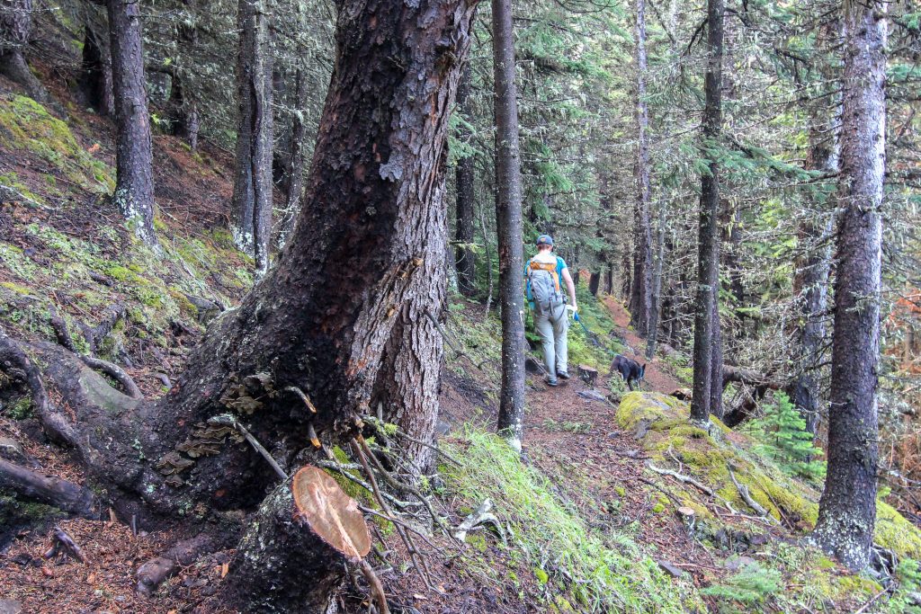
The hike was uphill right from the start but was quite a casual climb fro the first 2 km. A right turn followed by a quick left and had us following a ridge for the next 5 km gaining a stiff 650 m of elevation. There was not much to see on this first section of the hike as we were buried deep inside the trees. One thing we did notice was that whoever was holding onto Volcano’s leash was walking faster so fast it was challenging for the other person to keep up. Volcano may have been turning 11 later in the summer but she was still in incredible condition.
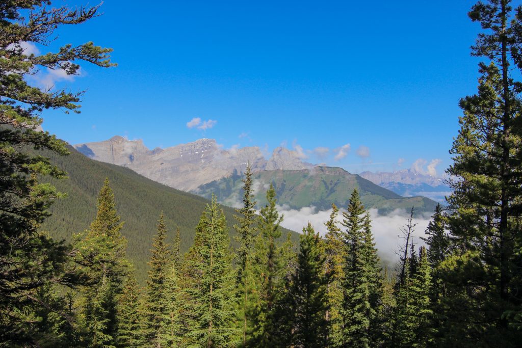
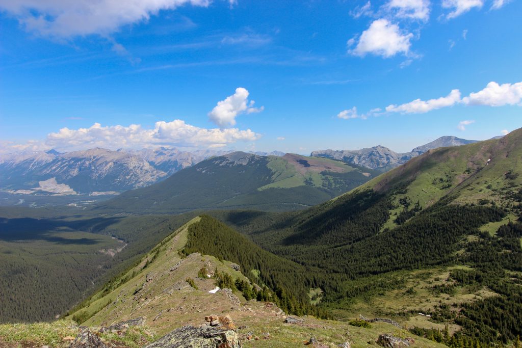
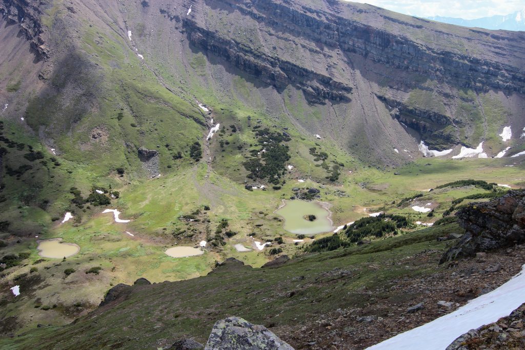
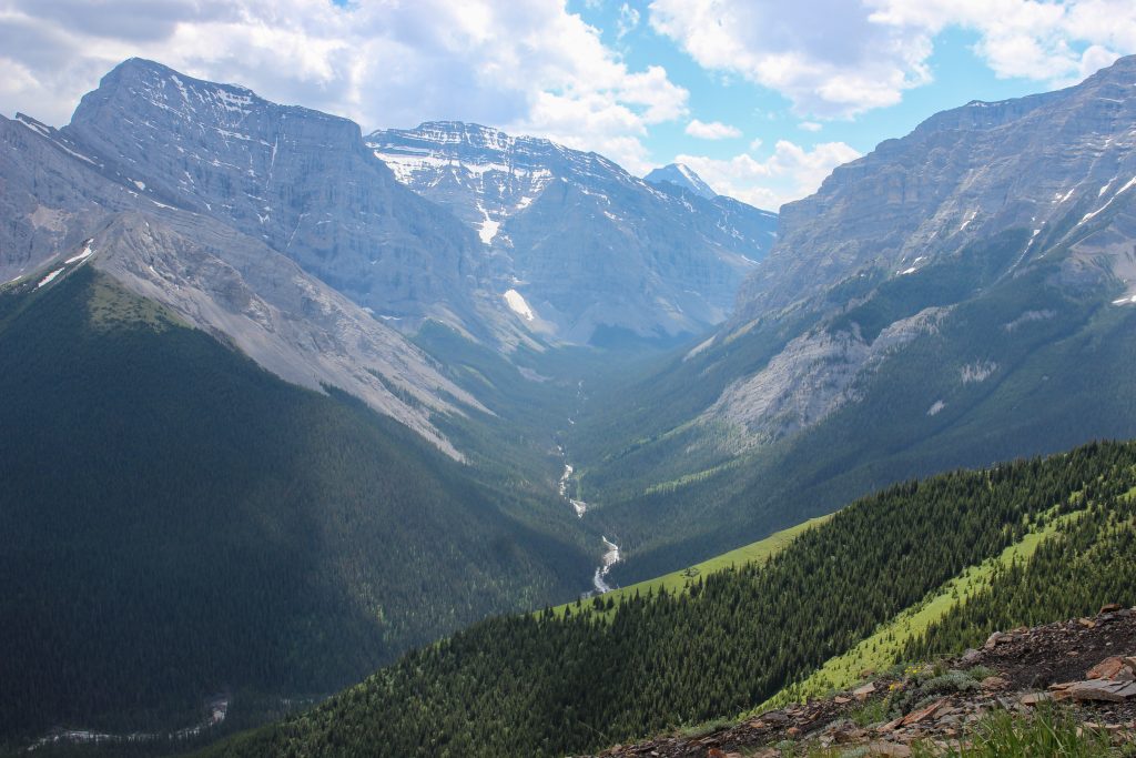
We got our first views after 1 hr 40 min of hiking as the trees started to thin out allowing us to see westward up the Bow Valley. Twenty minutes later after 6.2 km we came to the junction where the route up Mt Collembola veers off to the left and the trail for the north ridge of Mt Allan goes right. The wide trail, old road really, suddenly became a narrow twisty trail. We then had a 2 km reprieve from the relentless climbing while we traversed across the edge of the cirque between Collembola and Allan as we made our way towards the north ridge of Mt Allan. In the cirque there are two small lakes or tarns known as the Jubilee Tarns. There is a faint trail leading up to the tarns which offers a seldom used alternative to accessing the north ridge of Mt Allan up a steep grassy slope.
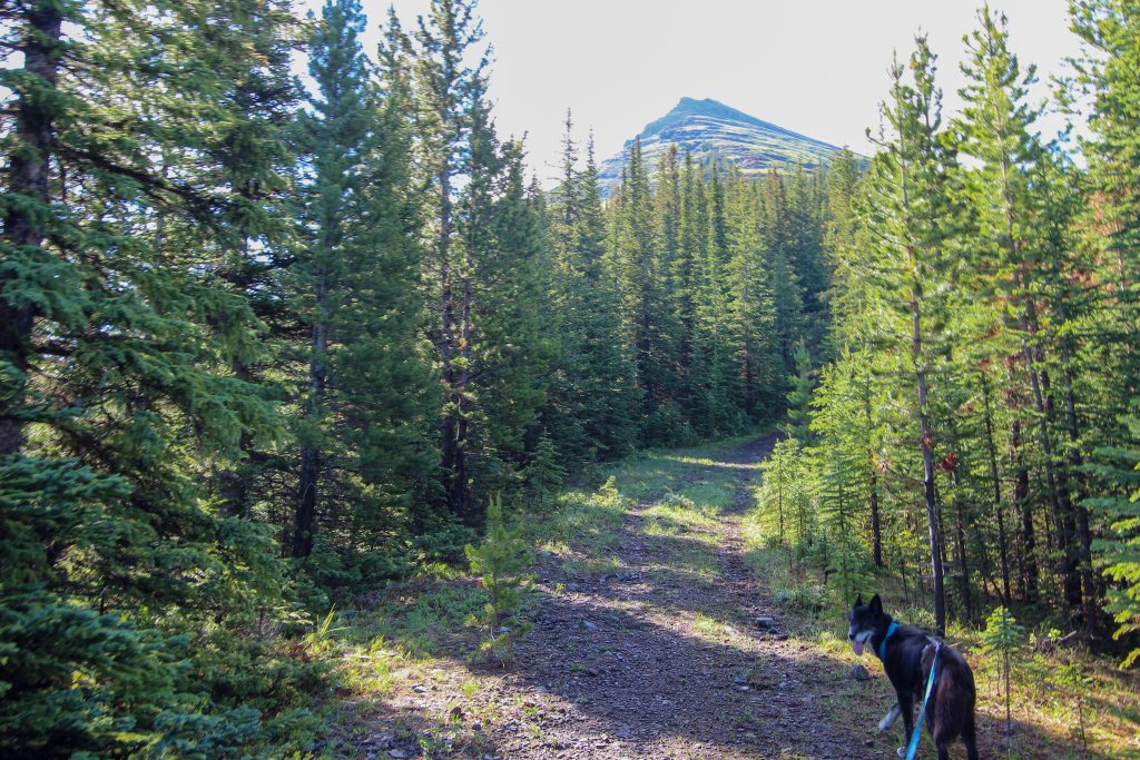
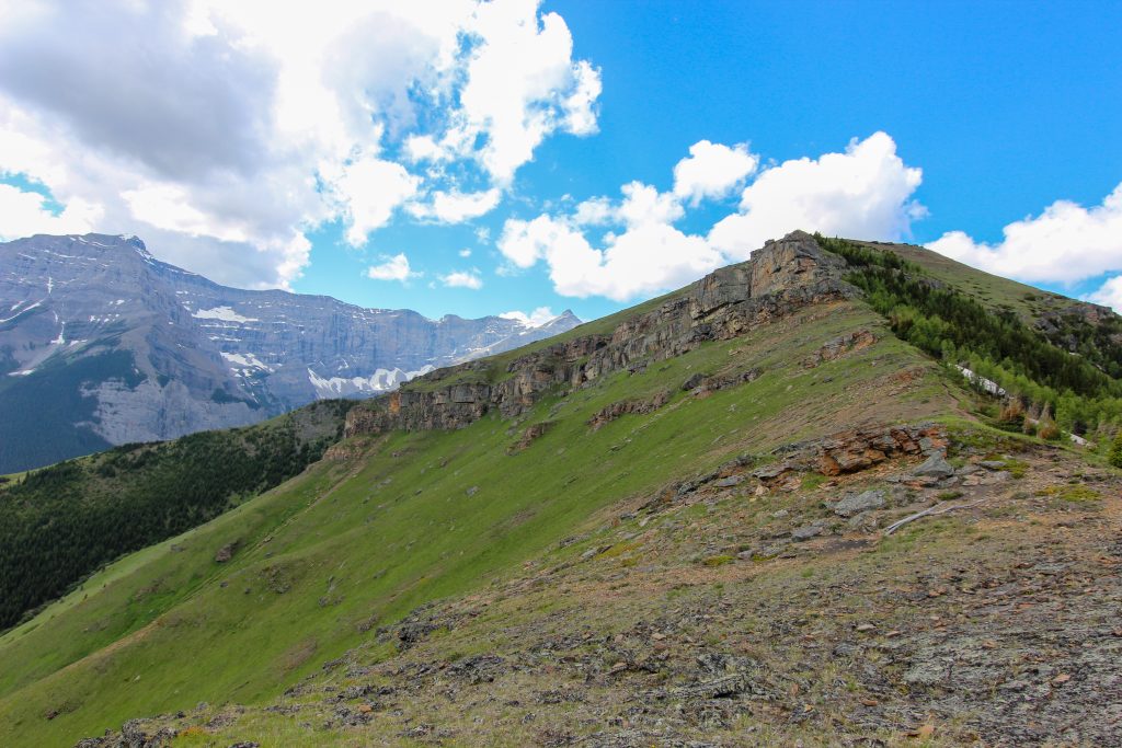
After crossing the cirque which was a nice meadow walk we came to a steep wall that is the north ridge up Mt Allan. To gain access to ridge we actually had to side slope down the ridge to a low point where we would begin climbing once again. We arrived on the north ridge to Mt Allan at 10:40 am two hours 45 min after leaving the trailhead a distance of 8.35 km.
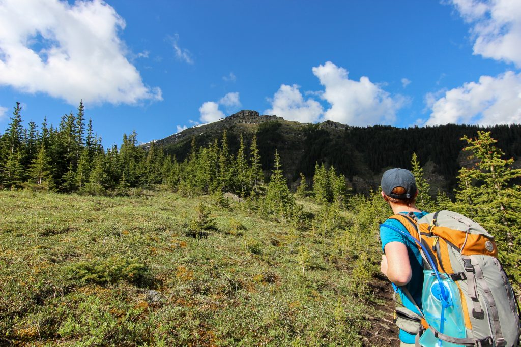
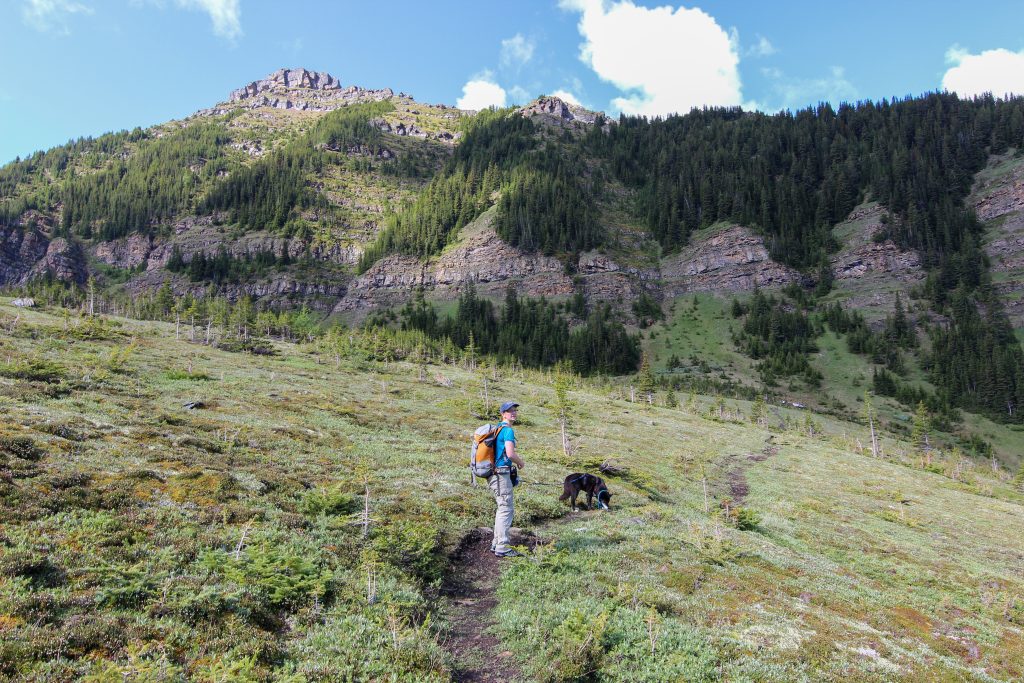
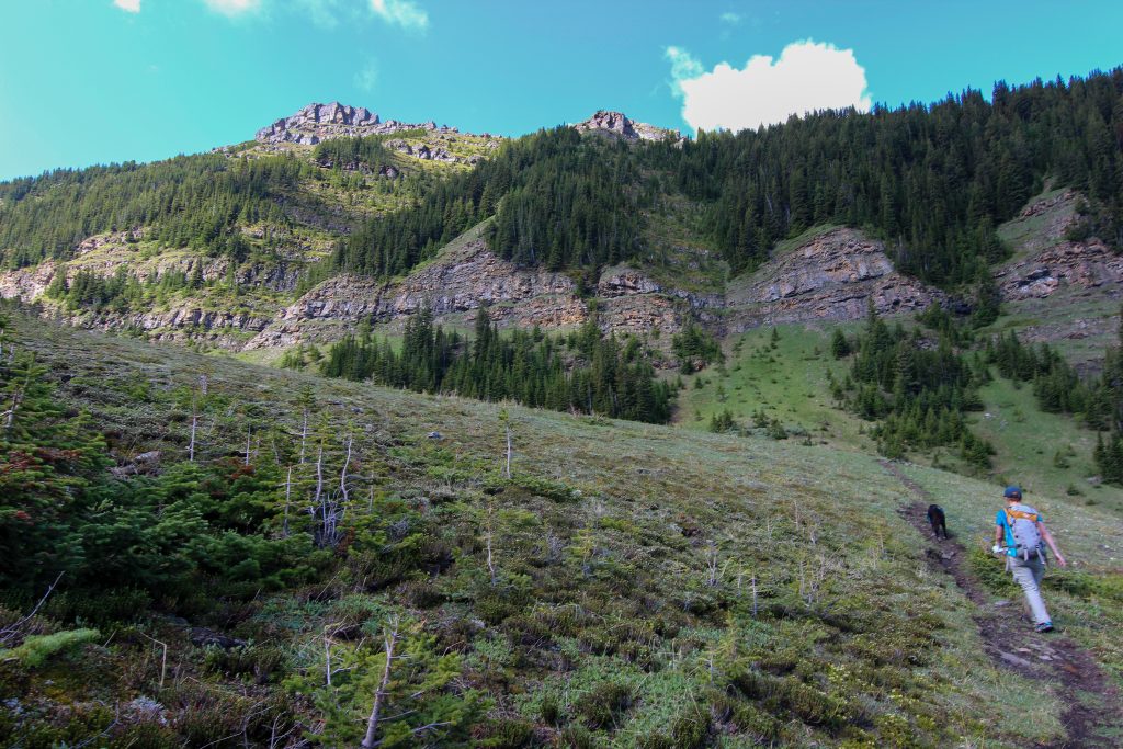
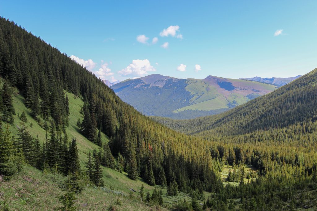
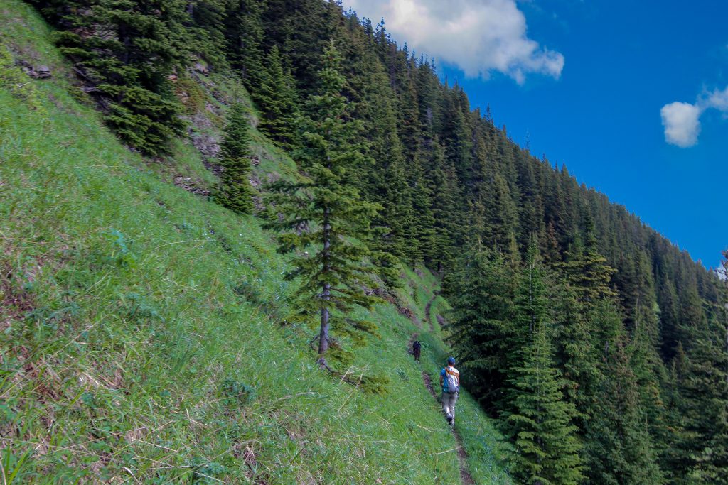
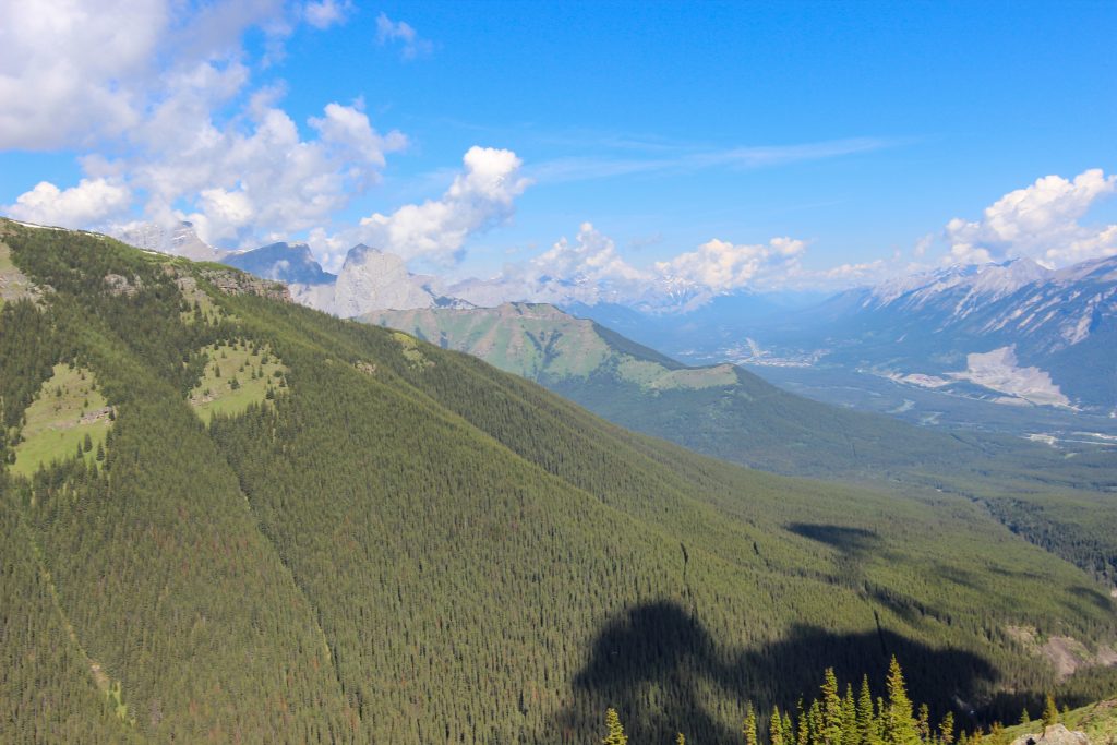
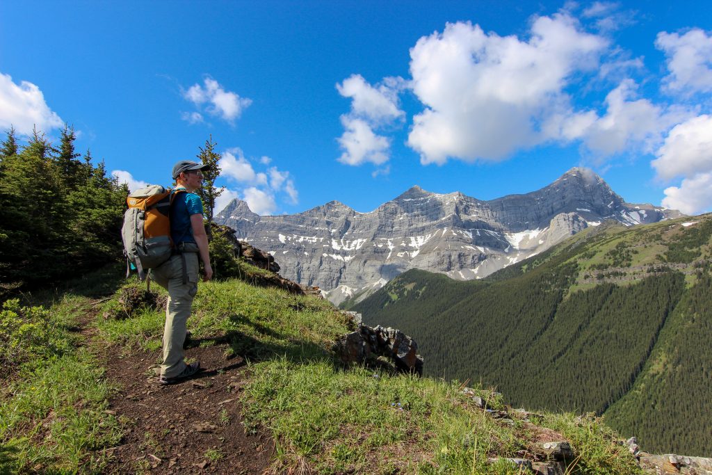
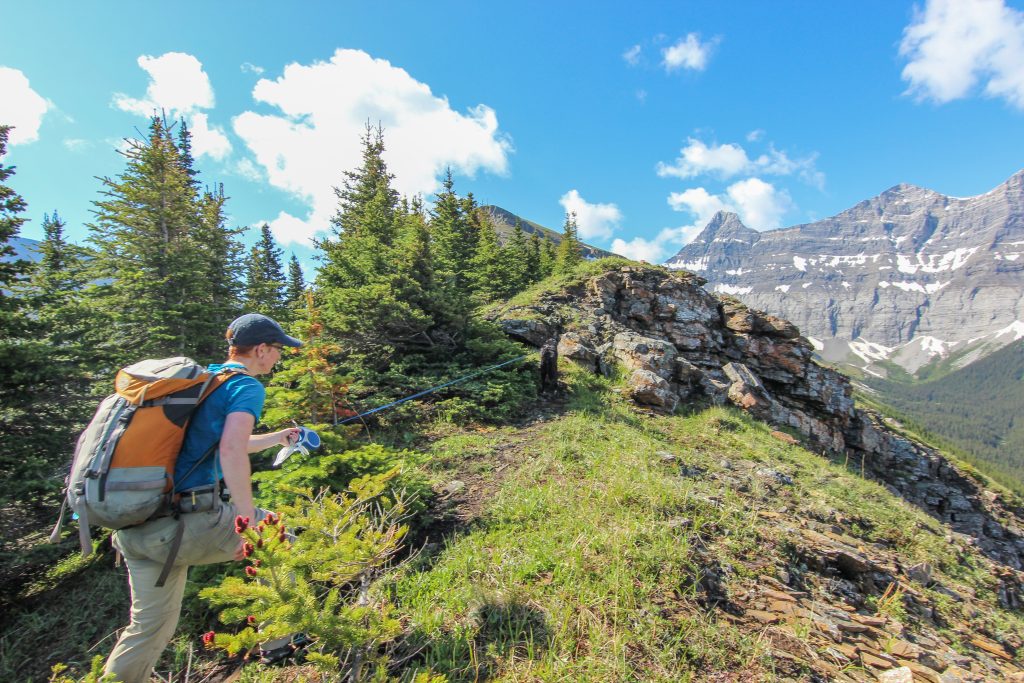
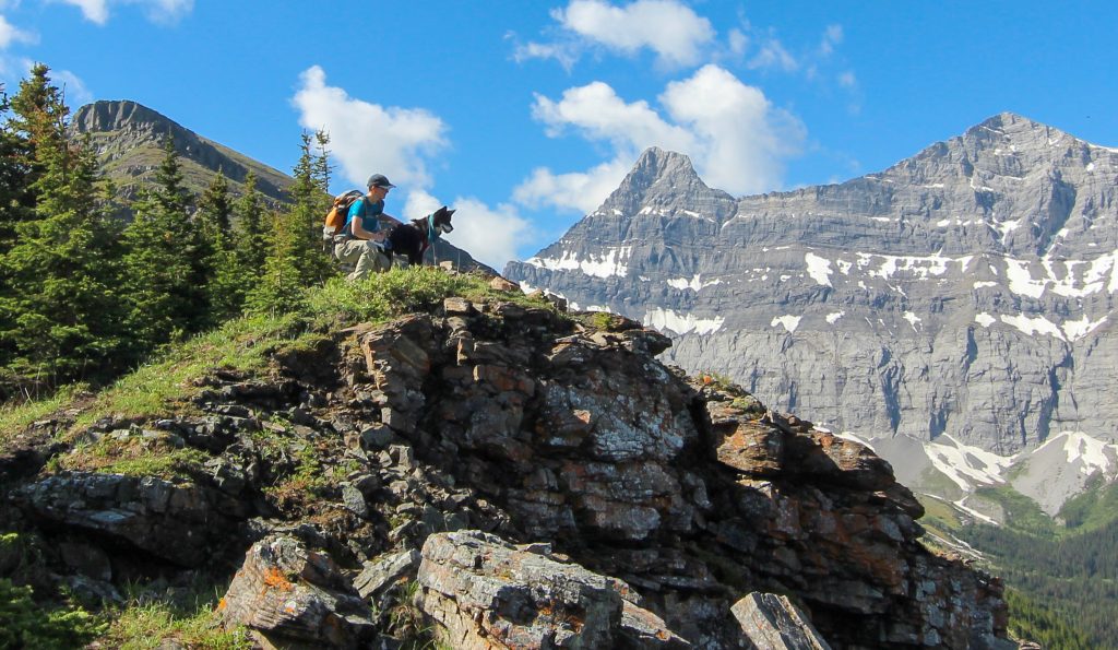
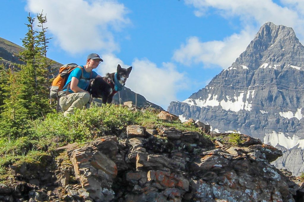
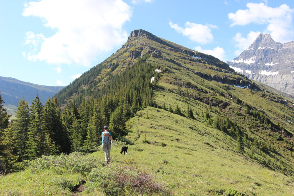
After stopping for photos we had a lovely long grassy ridge walk leading up to what looked from a distance to be an insurmountable cliff face. Part way along the grassy slope we stopped to sunscreen up and I popped out a little surprise on Micah. I had packed some ice cream into a insulated coffee go cup. Needless to say Micah was quite pleased.

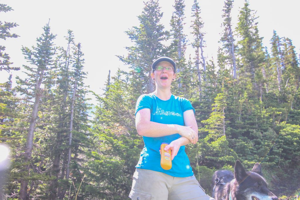
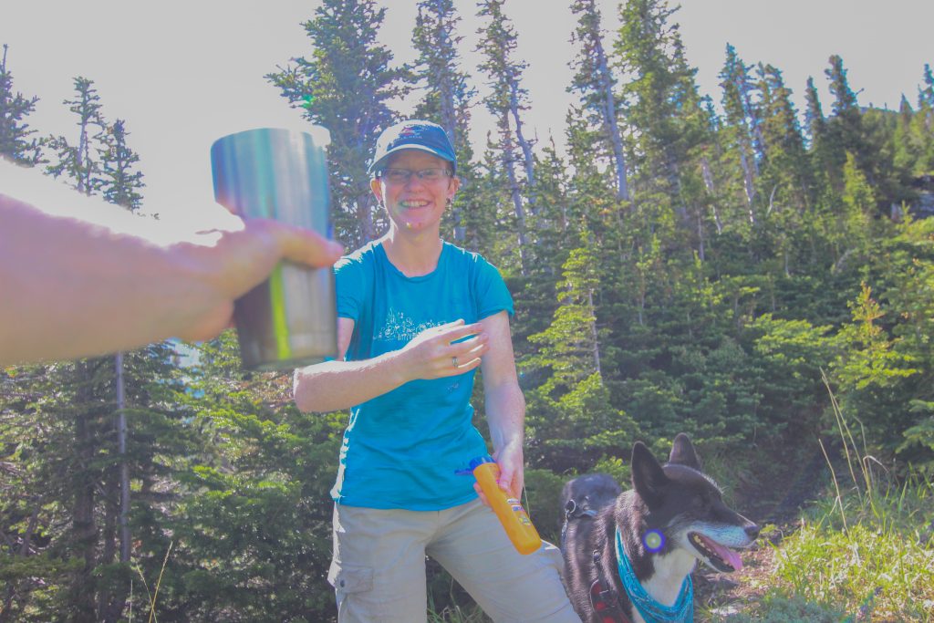
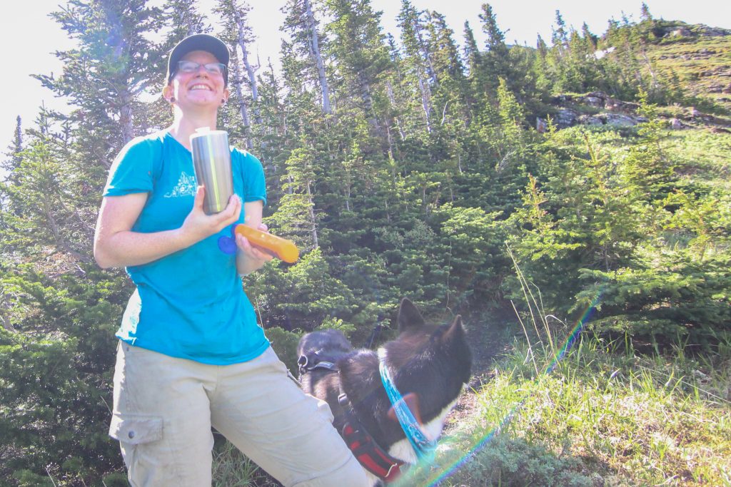
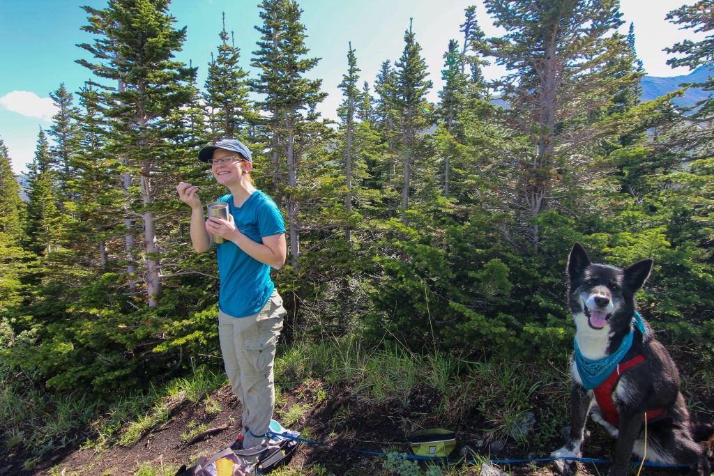
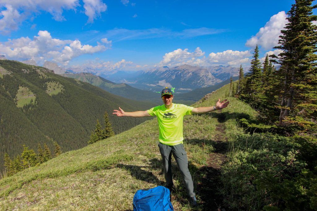
There was a couple little cliff bands to scramble over before reaching the large cliffs known as the Black Bands a distance of 9.3 km from the trailhead. Volcano did a stellar job of scrambling despite not having a lot of experience from her life a sled dog. Once arriving at the Black Bands a very obvious trail skirted around to the left following close to the cliff on quite a steep slope.
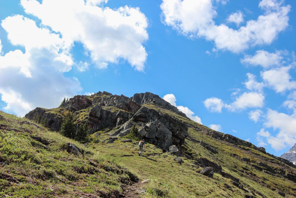
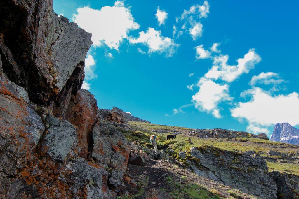
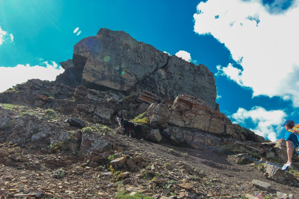
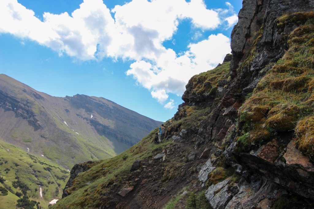
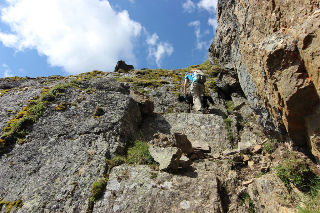
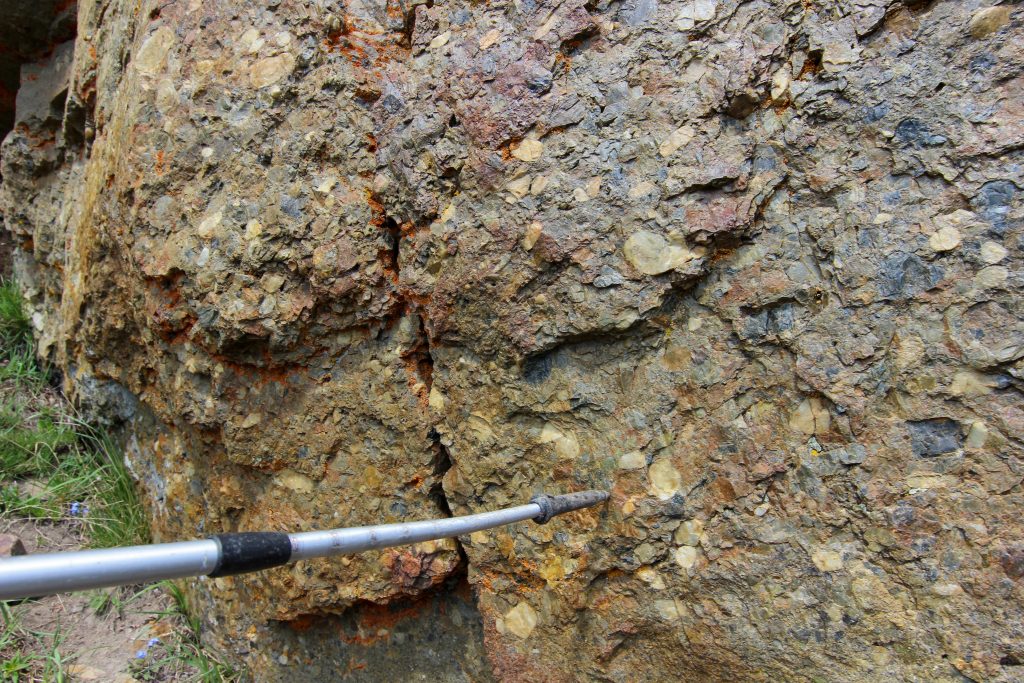
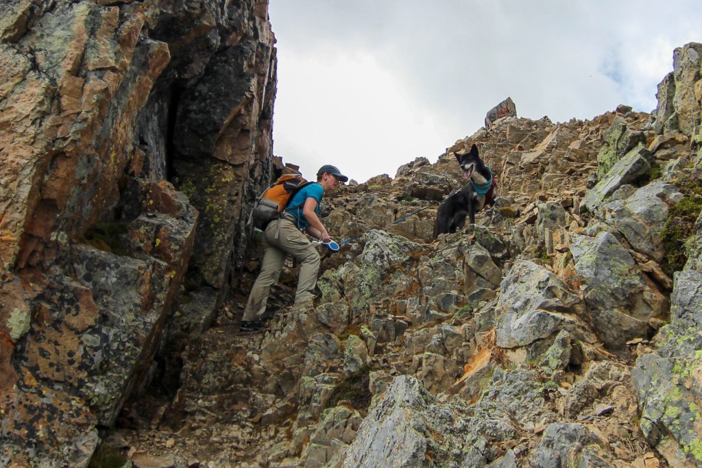
The trail came to an abrupt end at a transition from red conglomerate rock and dark grey limestone. The difference in erosion of the two types of rock gave an obvious scrambling route up. The limestone being blocky produced nice steps up that while daunting at first glance Micah and Volcano made the scramble look quite straightforward.
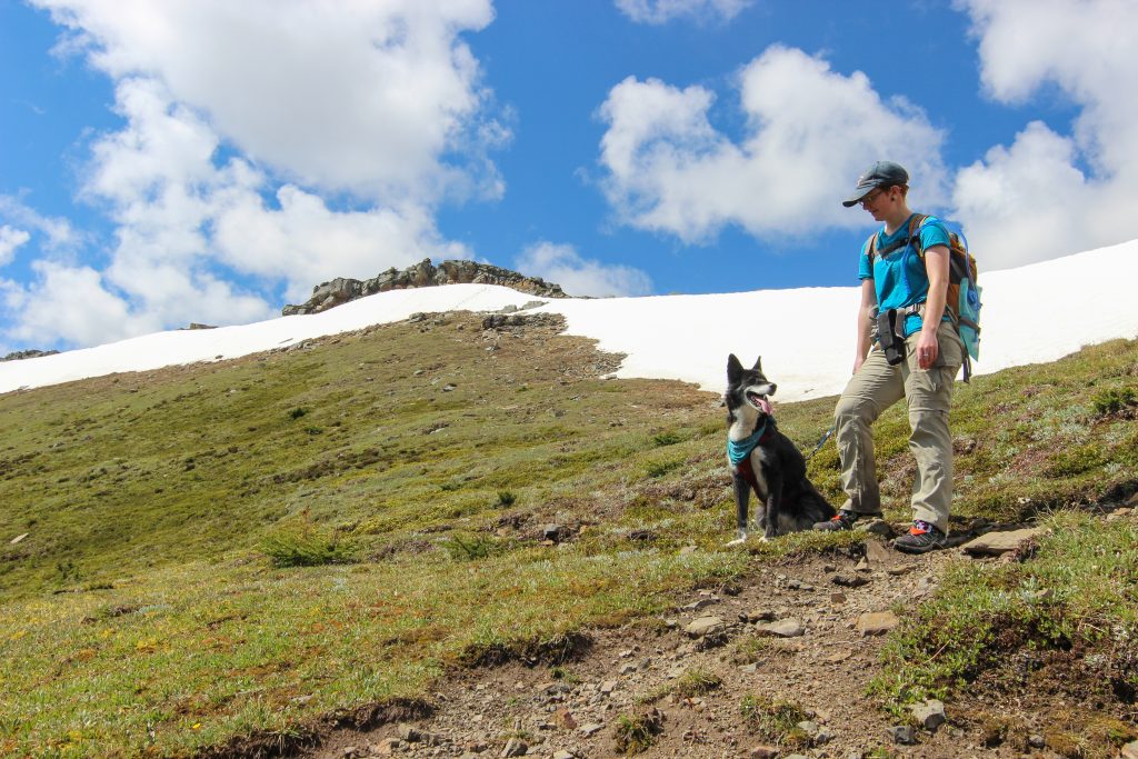
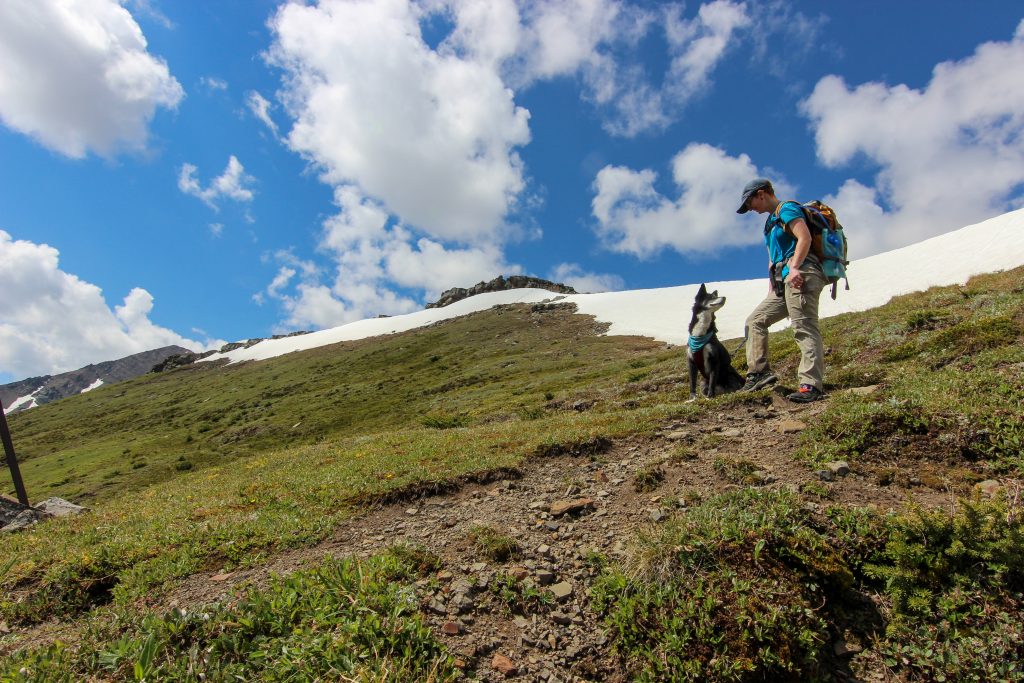
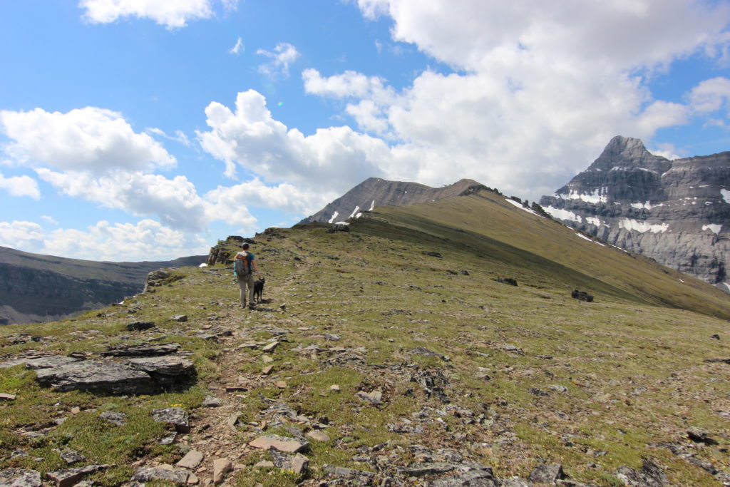
We relaxed briefly at the top of the Black Bands. It was 11:40 am or just a little under 4 hrs since we started the hike. We came to a small cliff band that we quickly made our way over. At first glance we appeared to now have an easy walk all the way to the summit. Some of the runners that we had see back at the stream crossing started to come by us heading back down after submitting Mt Allan.
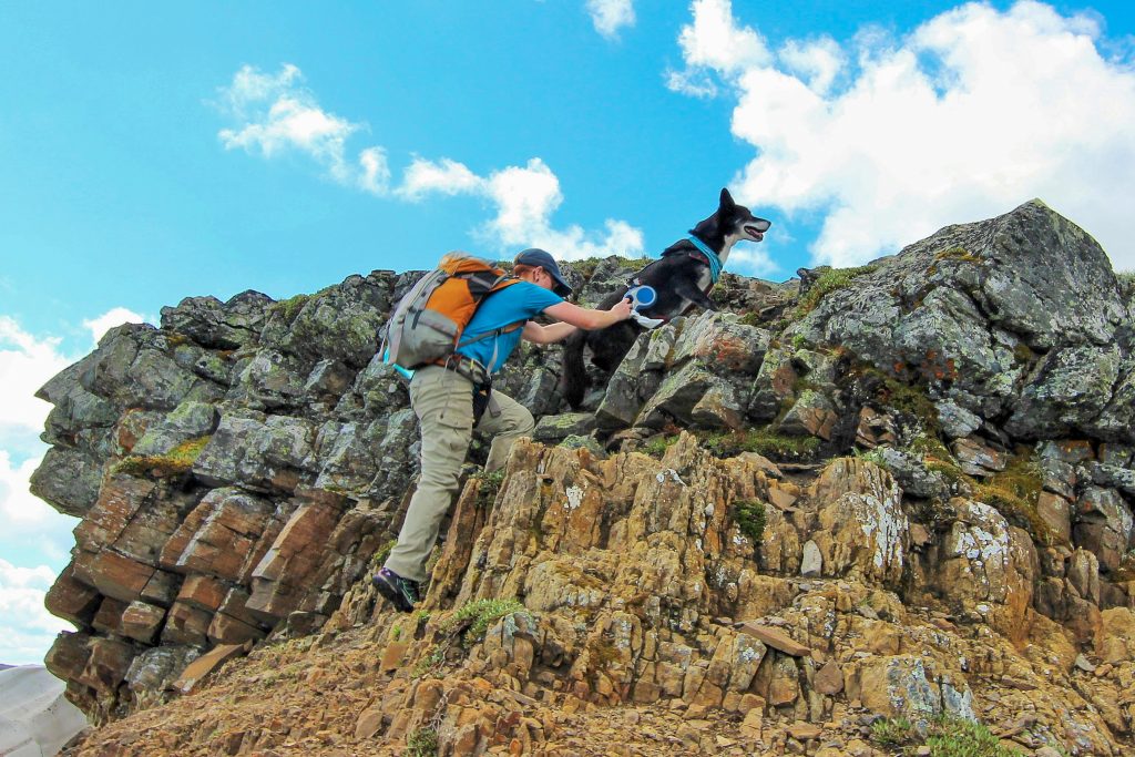
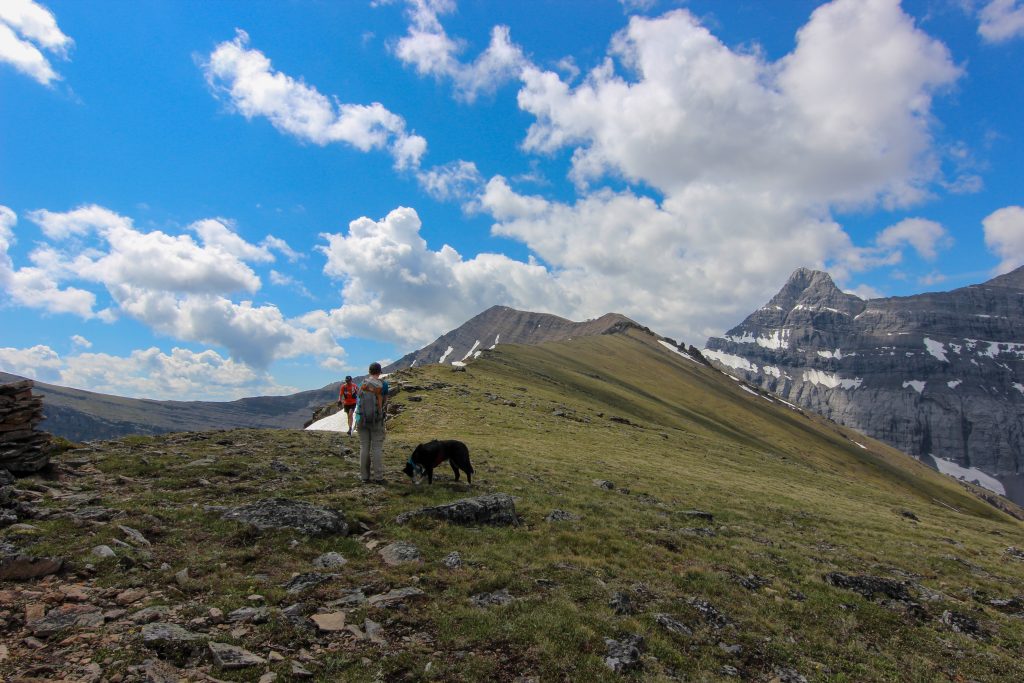
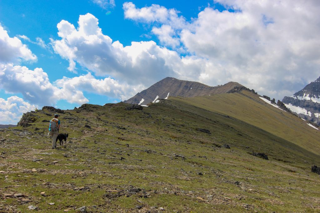
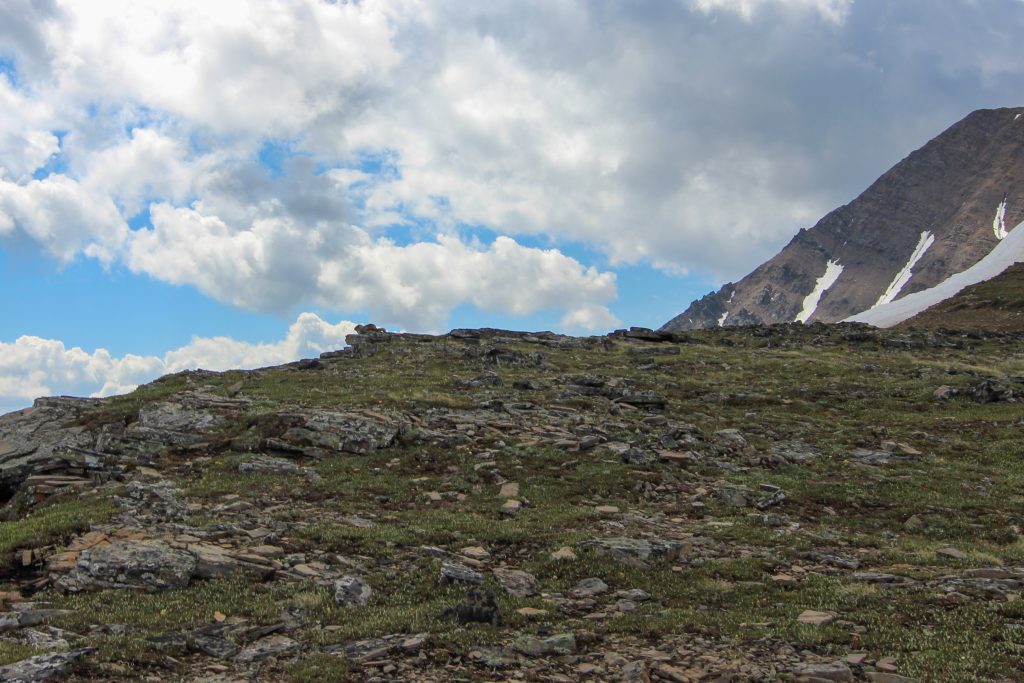
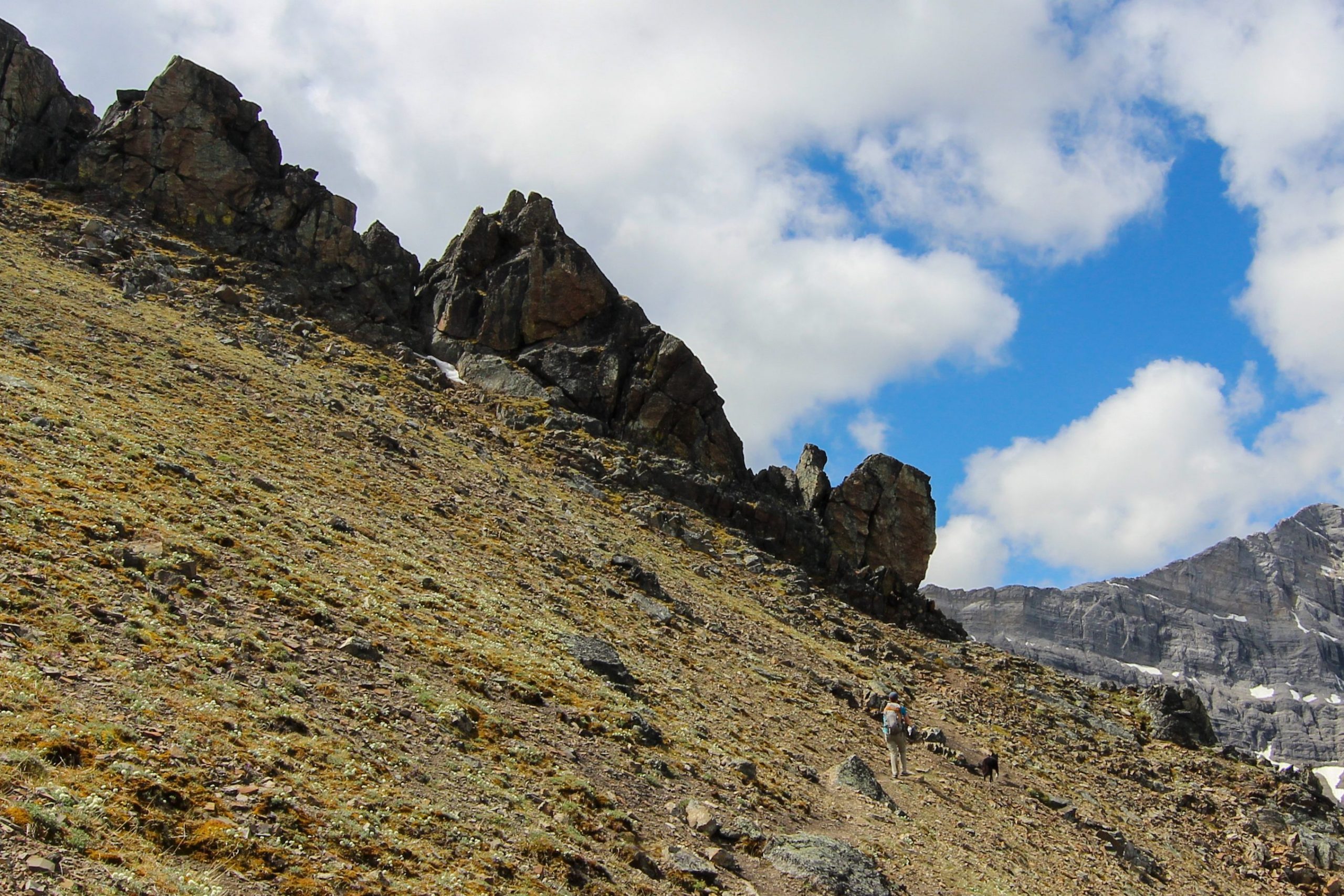
We arrived at our next obstacle a row of imposing red pinnacles 30 minutes after leaving the Black Bands. Following the trail we started on the right hand side then crossed over to the left where we were presented with another stepped wall just like back at the Black Bands. It was a steep ascent back but Volcano scrambled up like a pro with Micah hustling to keep up while holding the leash. Once at the top it was a short hike to a false summit. From the false summit there was a clear view of the true summit of Mt Allan with no further obstacles.
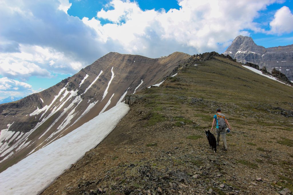
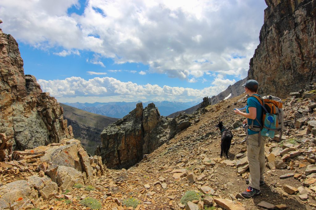
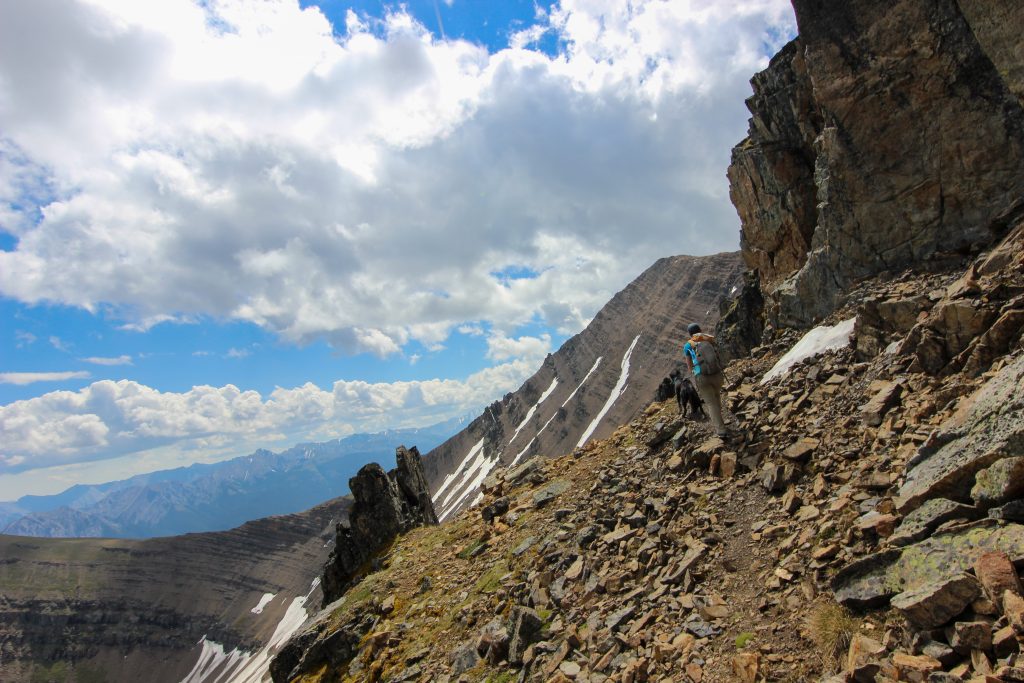
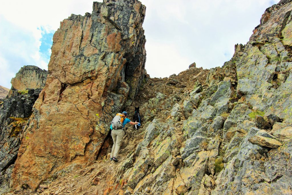
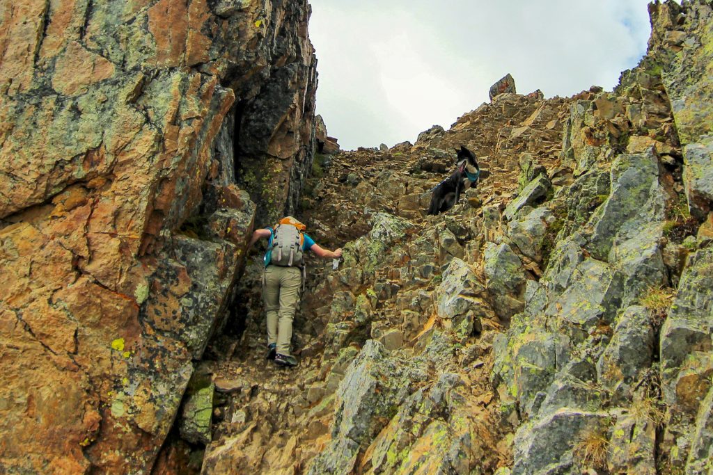
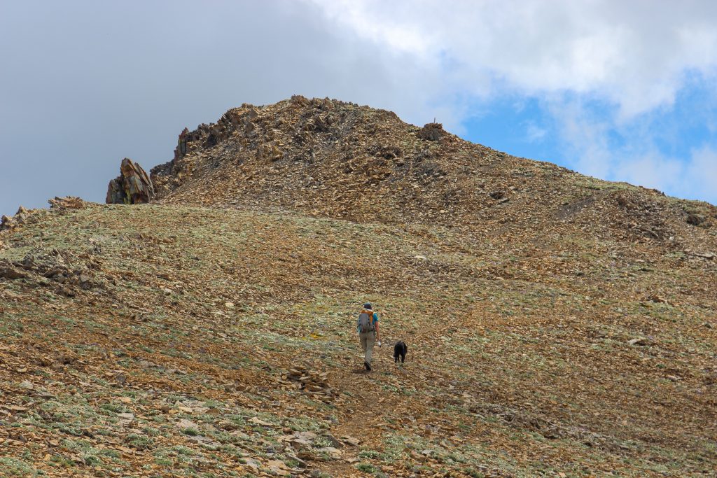
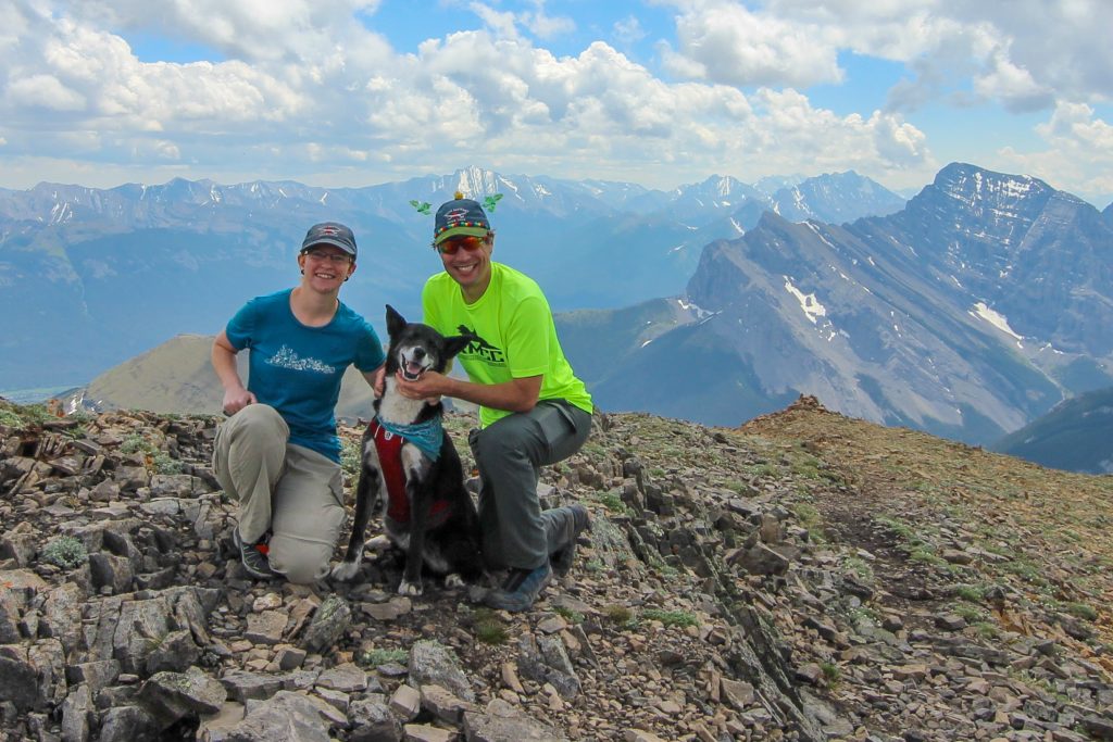
Once back on the ridge it took about 20 minutes to arrive at the false summit. It was only 600 m distance to the ture summit combined with 120 m of elevation gain. We dropped down a short way off the false summit before making the final push up to the summit of Mt Allan. It was 12:50 pm when we arrived at the summit. It had taken us 4 hrs 55 min to hike to the summit covering 11.6 km and gaining almost 1500 m of elevation. We were all smiles at the summit. It had been a thrilling hike and it was only half over.
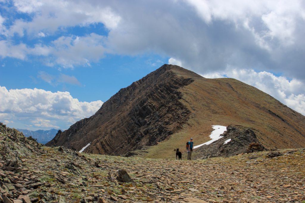
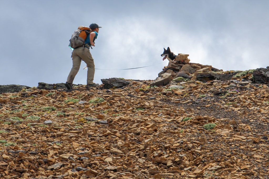
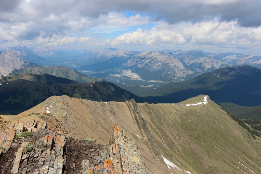
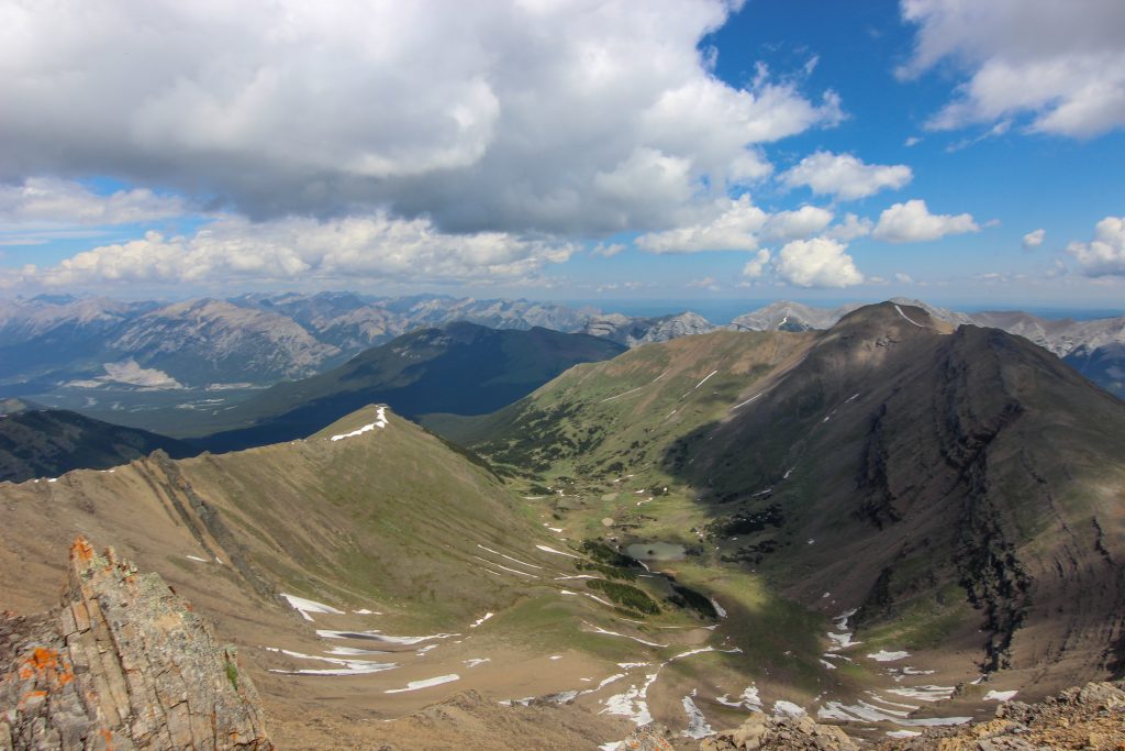
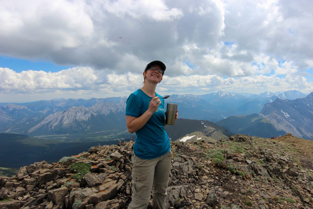
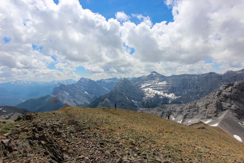
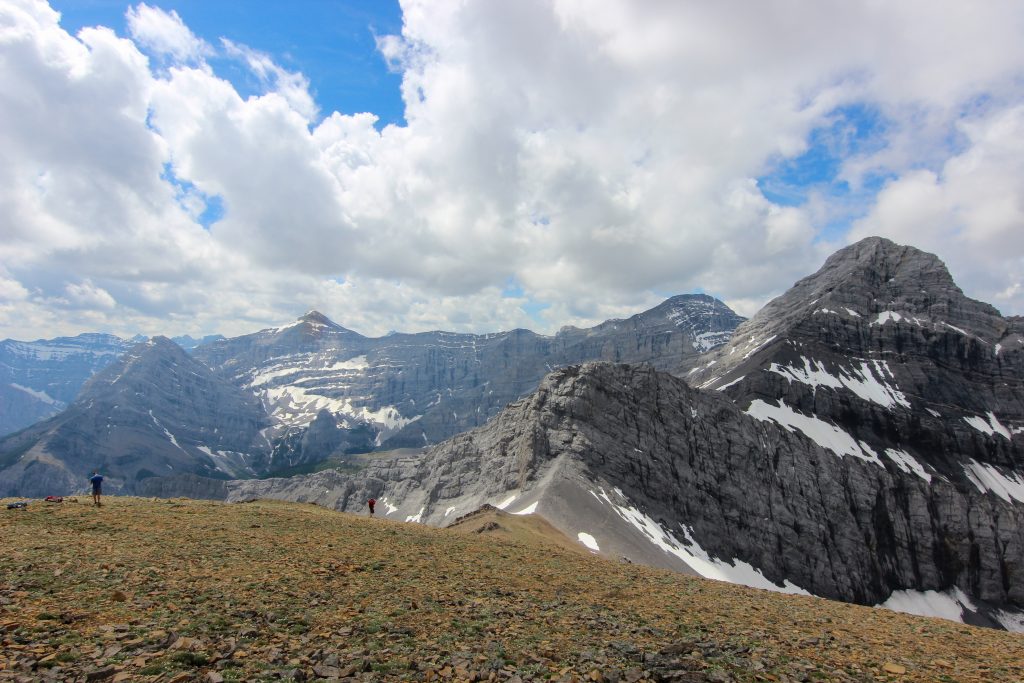
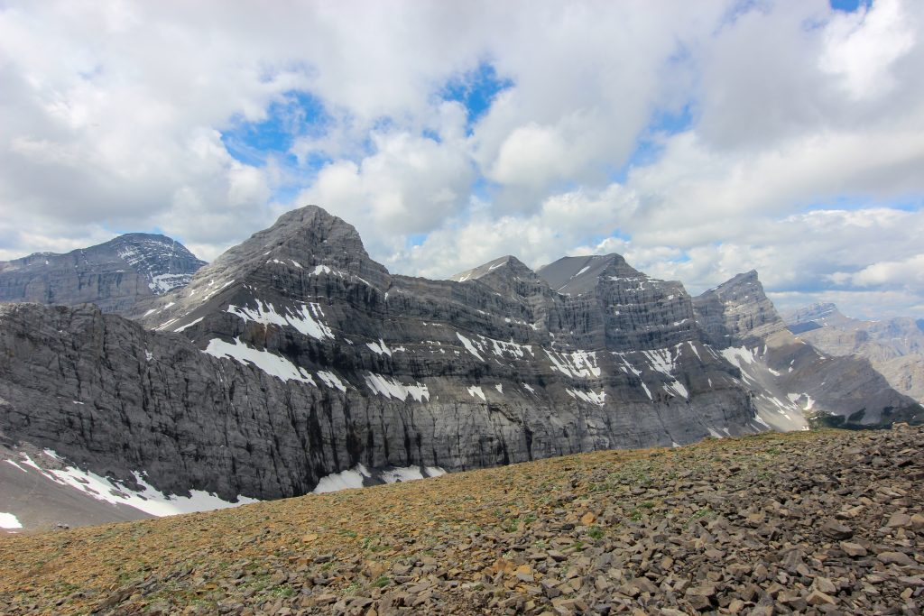
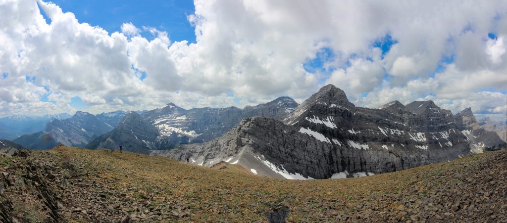
At the summit two things we had to deal with were the large number of people and flies. There were so many flies. We ate our lunch quickly and a nice hiker took our summit photo. After just 25 min at the summit we starting down the other side towards our car at Ribbon Creek.
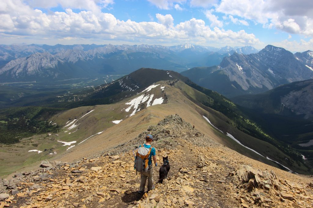
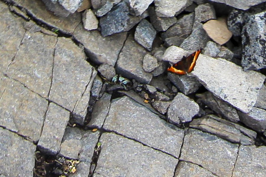
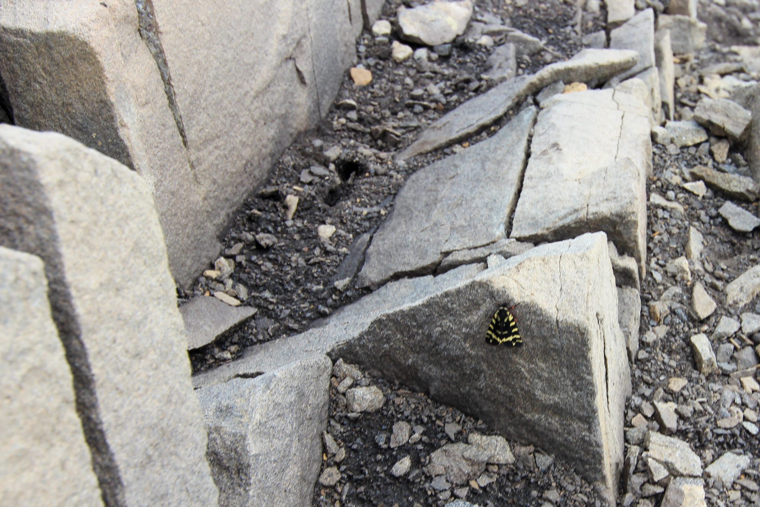
It is a shorter hike heading following the south ridge to Ribbon Creek Day Use Area and much steeper with very little scrambling. Hiking north-south allowed for a better gradient for going uphill. I have hiked partway up the south ridge and it is a very challenging hike until you get onto the ridge. The initial hike off the ridge was similar to the north ridge. The trail cut through scree covered slopes with little vegetation. A couple of butterflies caught my eye as we passed a small outcrop of rocks.
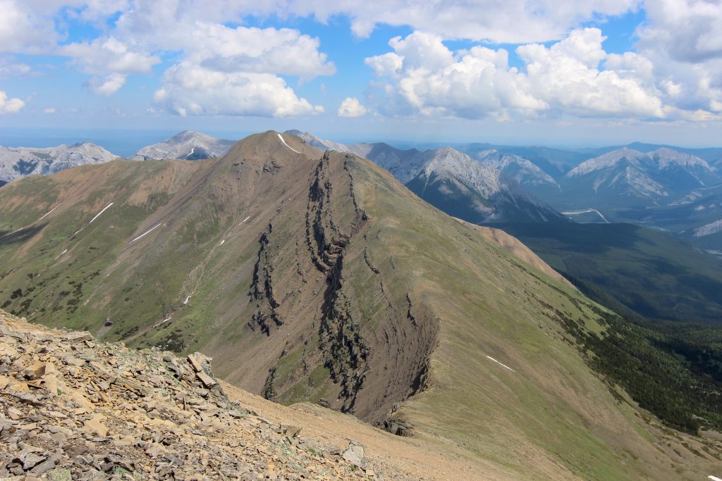
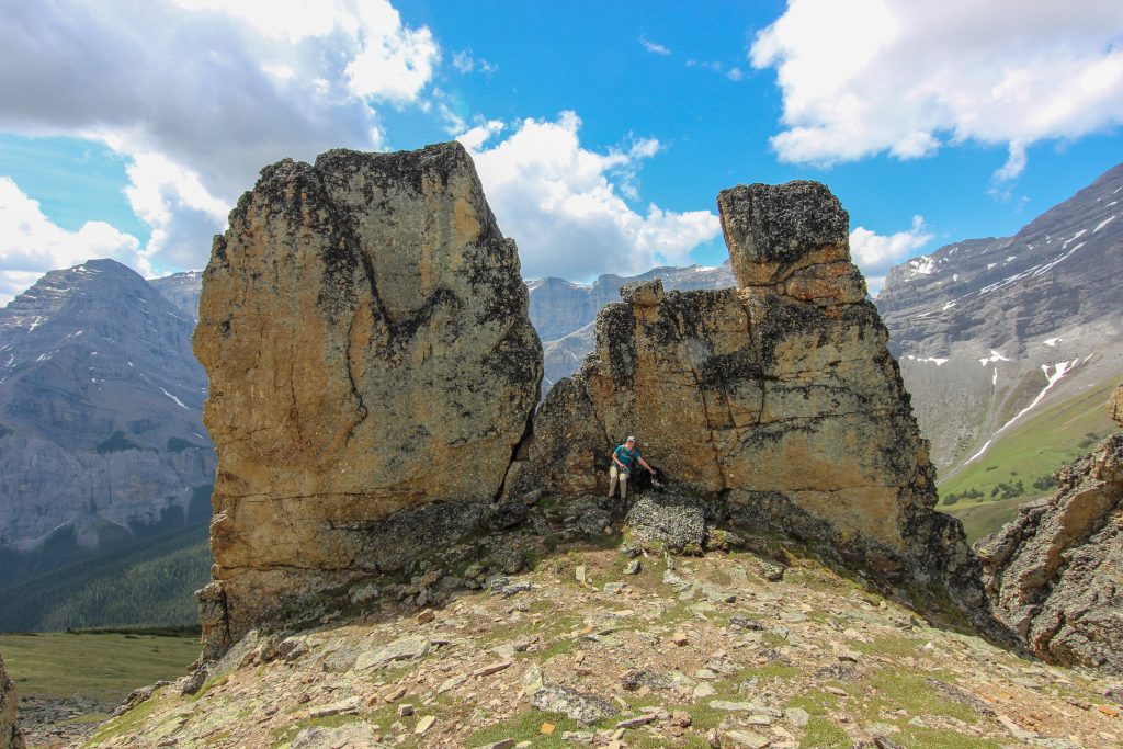
The exciting part of the south ridge came after 25 min when we came upon the rock out crop that we could see from the summit known as the Mushroom Garden. This was the only section of scrambling on the south ridge but appeared to be the most challenging for Volcano. I think it was challenging because the trail up the rocks was not as obvious. With a little direction and pushing by Micah Volcano was quickly up and over into the interior of the Mushroom Garden.
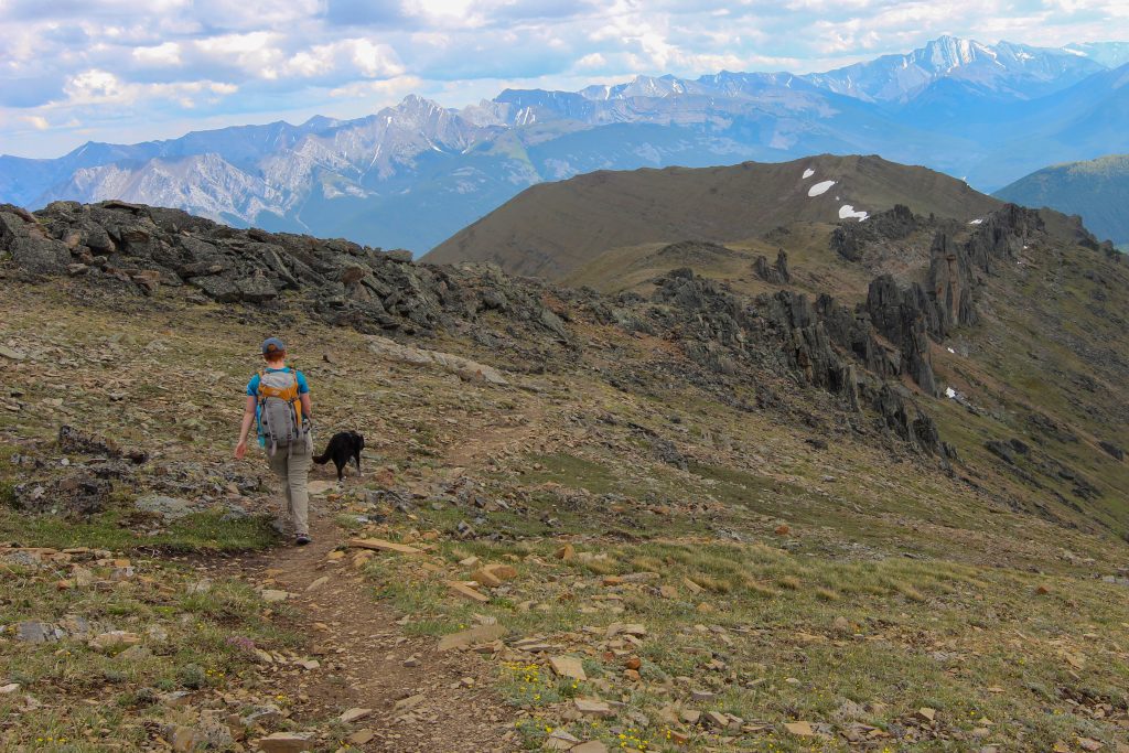
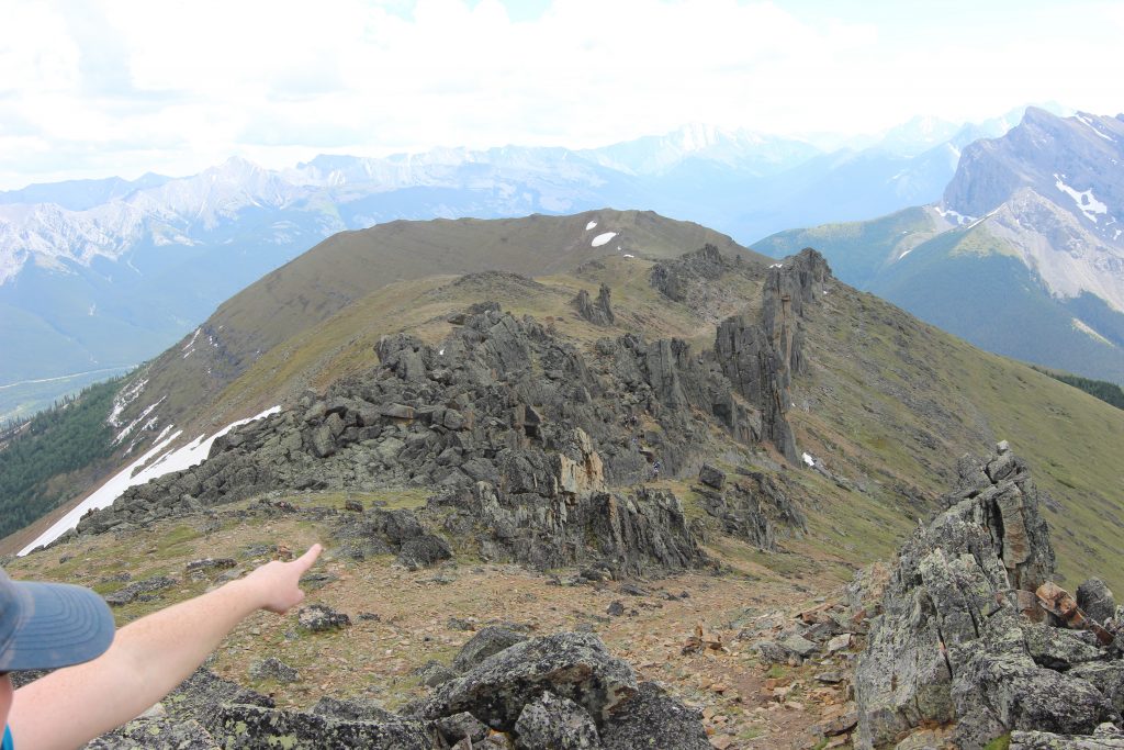
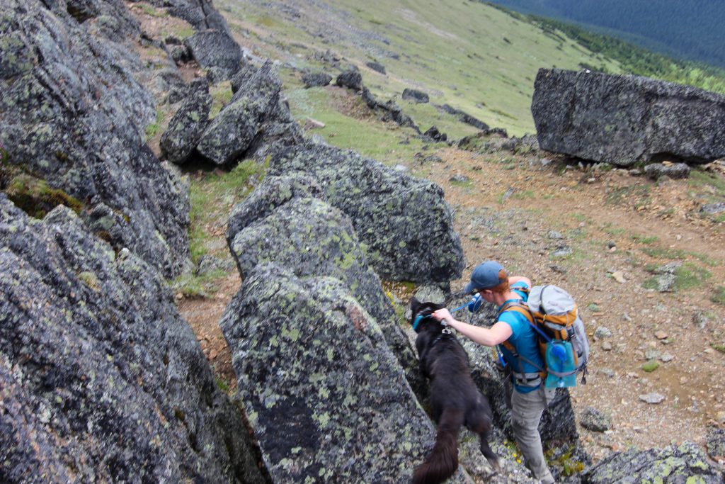
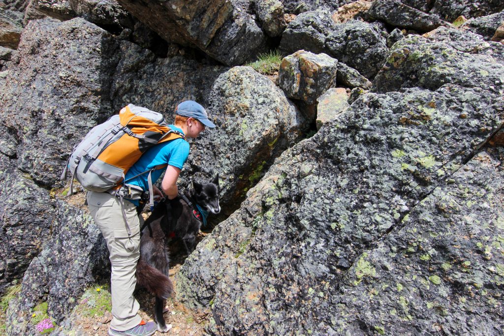
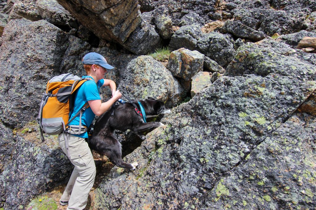
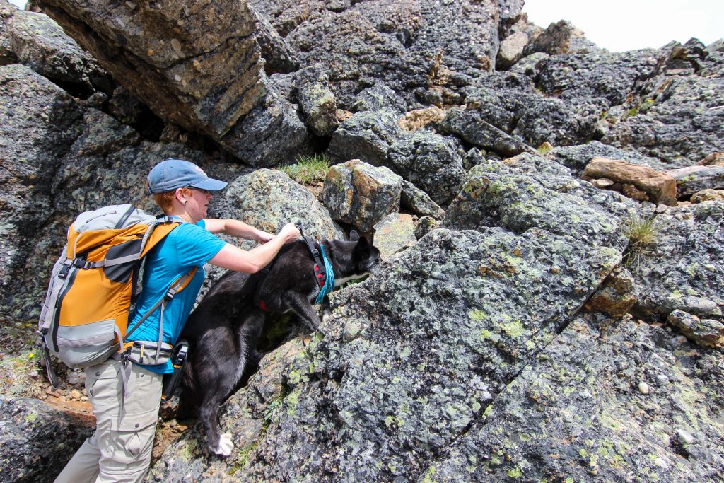
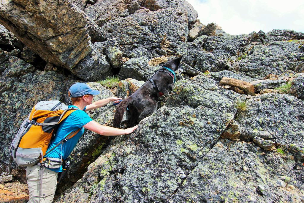
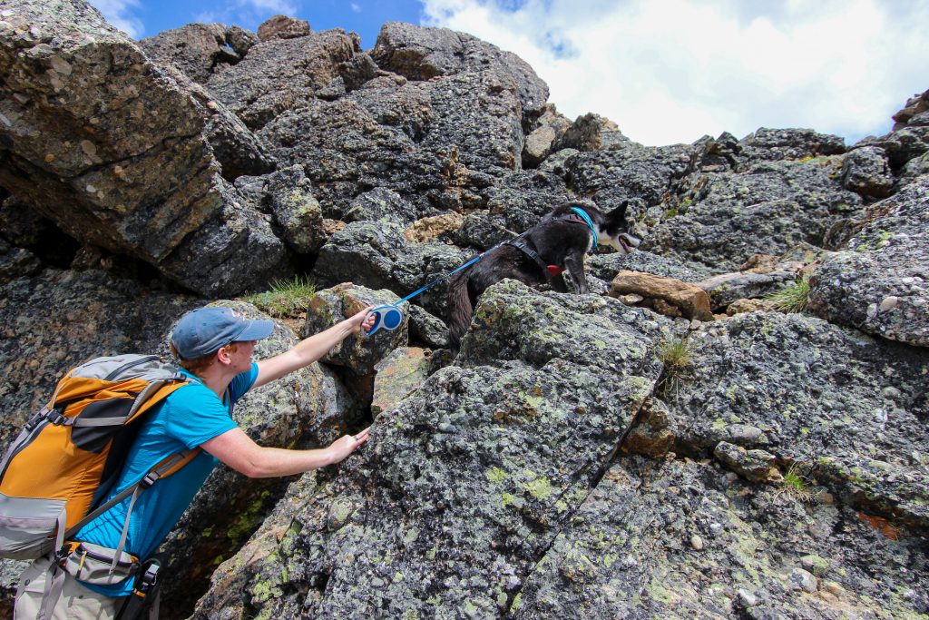
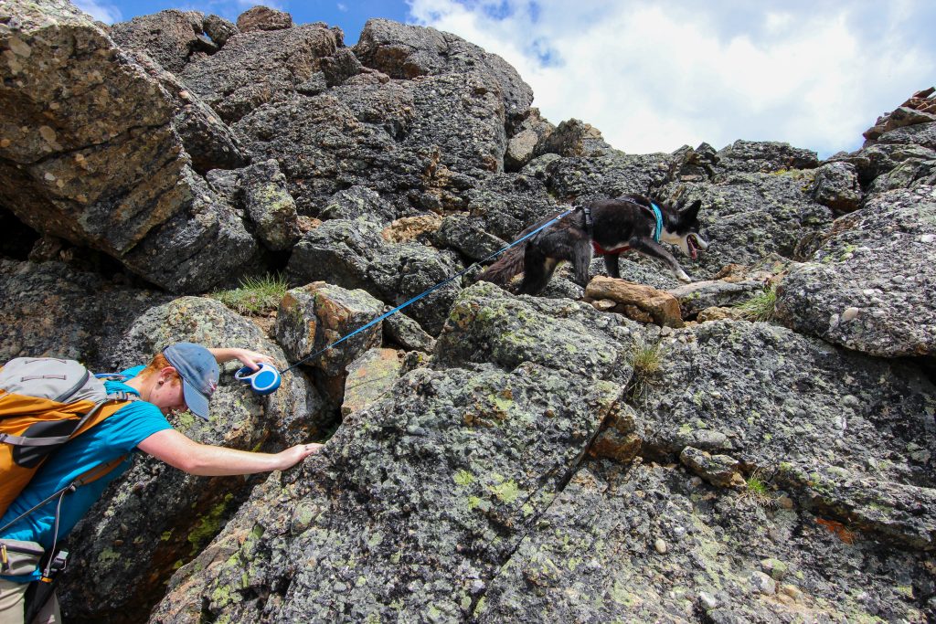
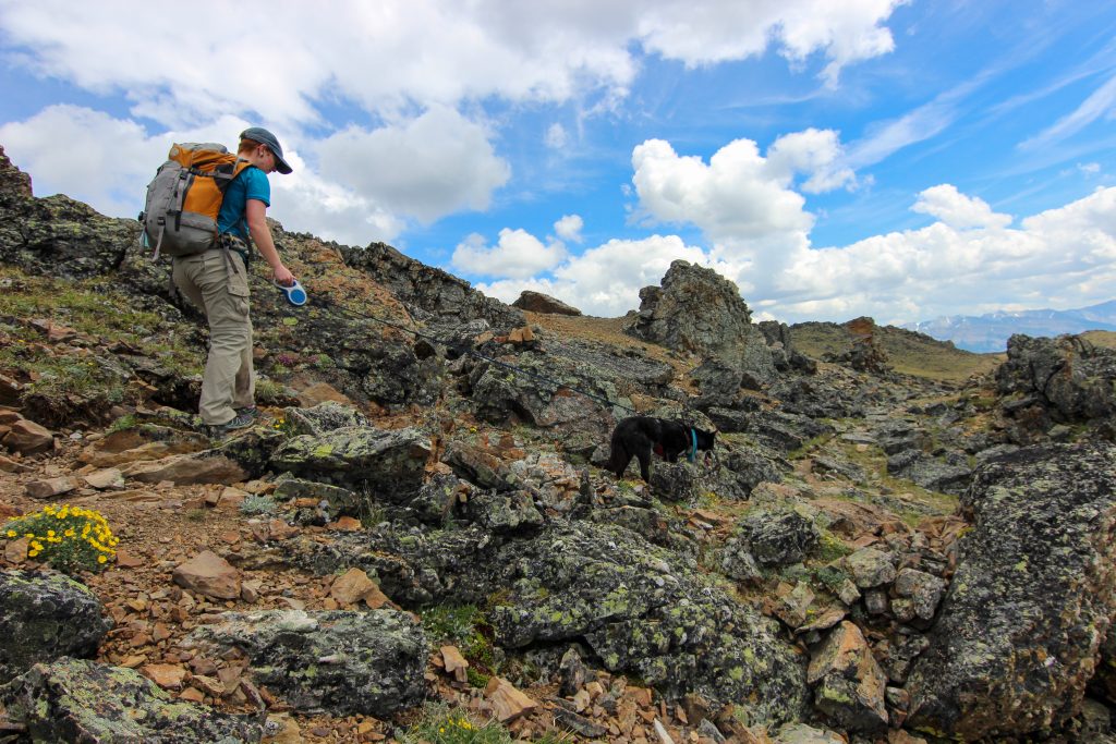
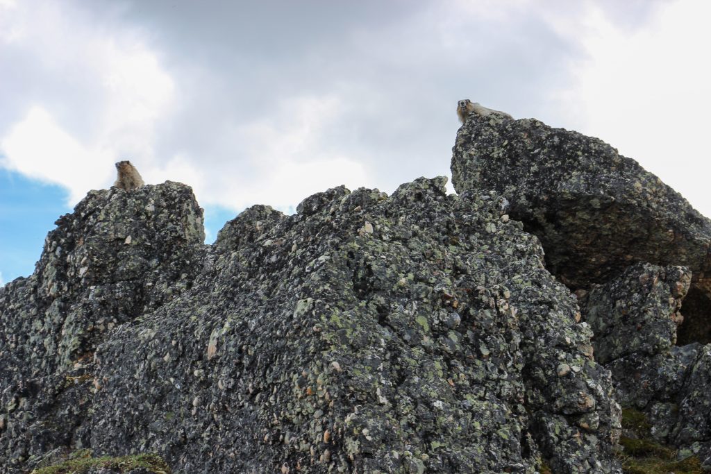
The Mushroom Garden was very interesting. Once inside you could see that the rocks had been thrust 90 degrees to almost vertical. We stopped for a few photos. Before leaving the rocks behind we passed by some marmots looking like sentries guarding their territory.
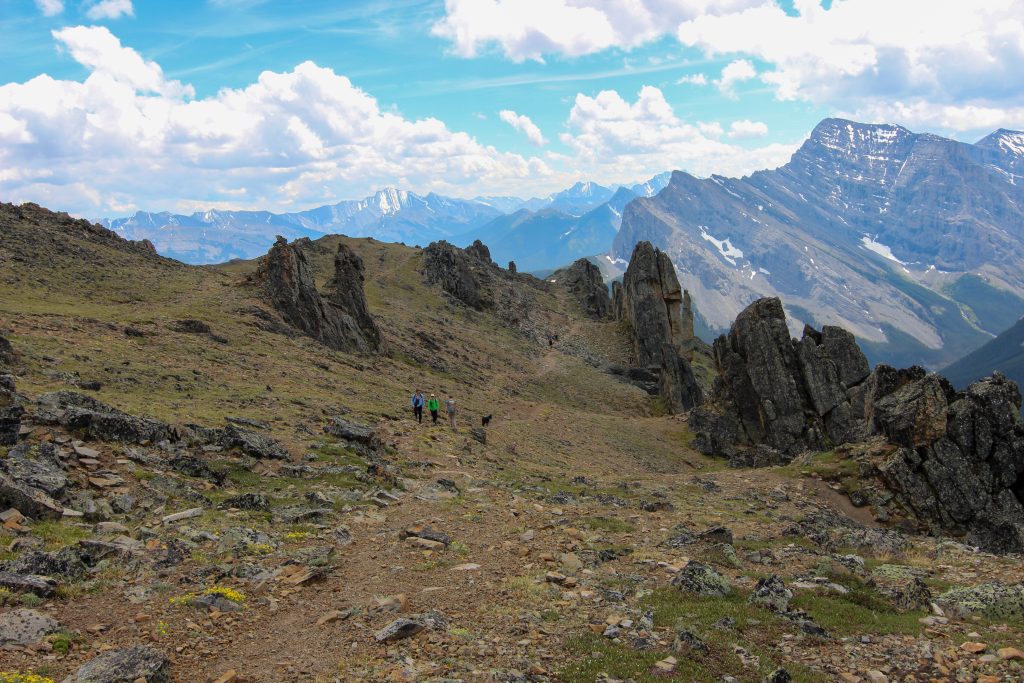
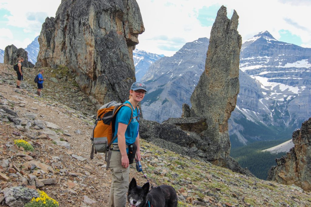
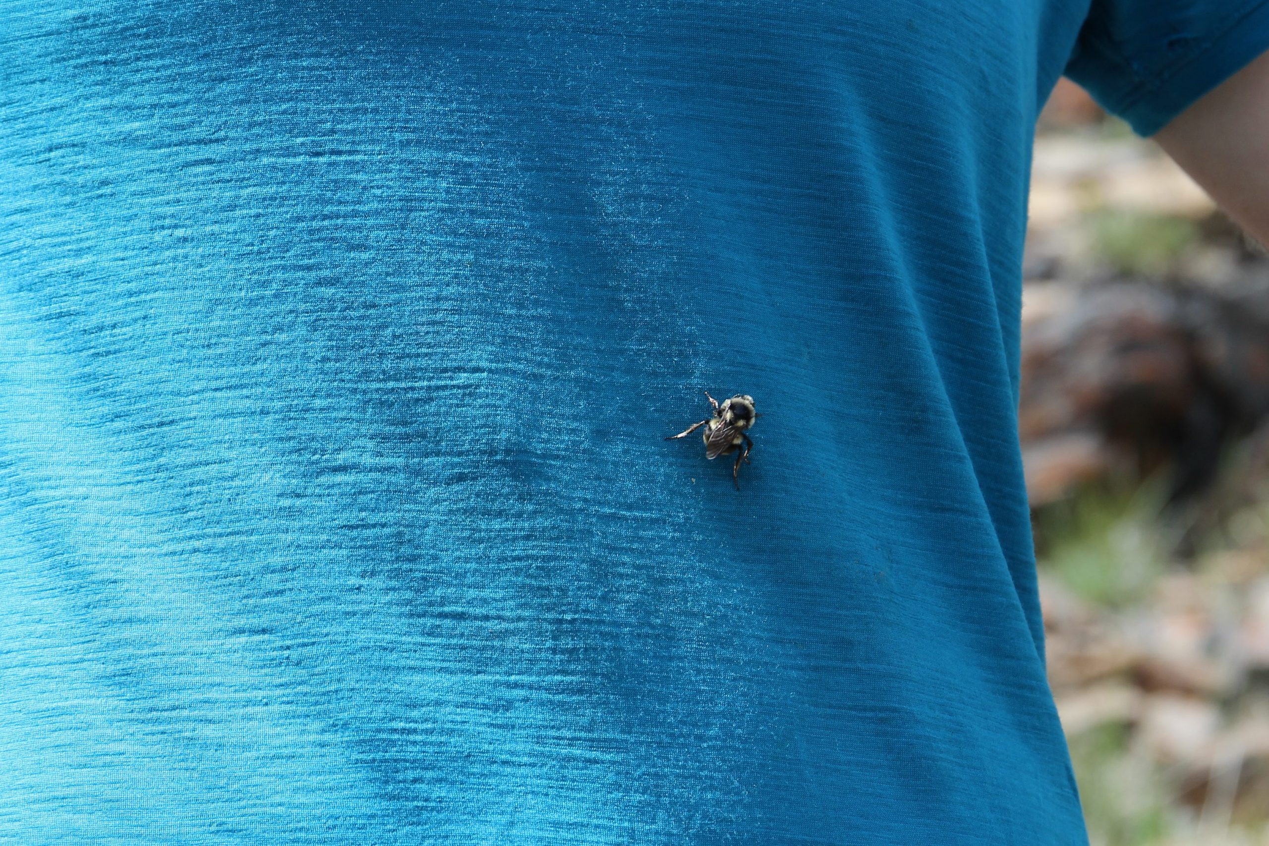
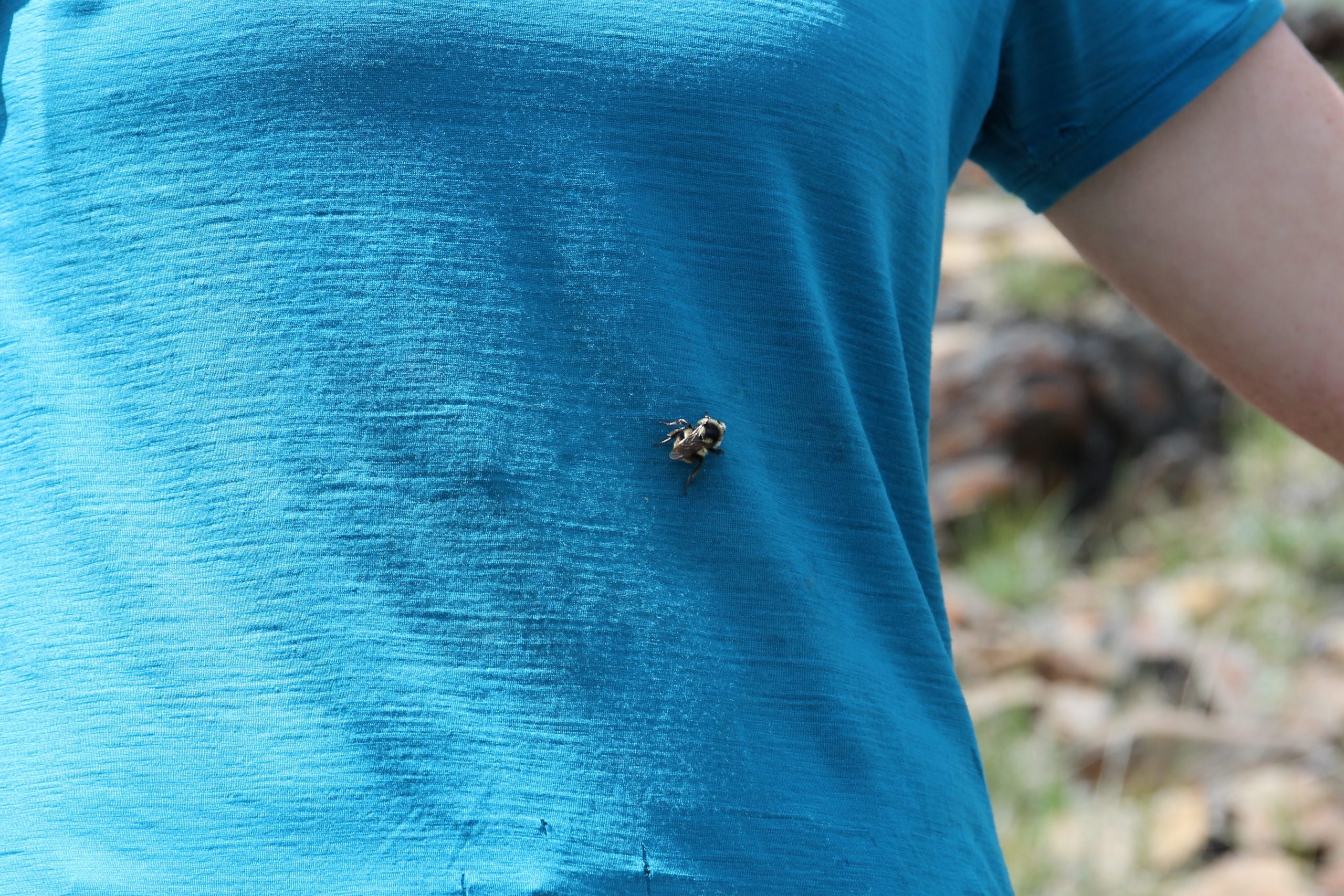
The trail stayed on the ridge for the next couple of kilometers descending a comfortable slope downhill. Micah had a fun little experience with a bee. The bee took a strong attraction to Micah’s shirt and crawled all over them. As we came to the end of the ridge we dropped down to where I had hiked previously. The trail became very steep losing 750 m of elevation over the next 3.5 km taking us quickly back to the car in under 1 hr. I do remember passing people still hiking uphill.
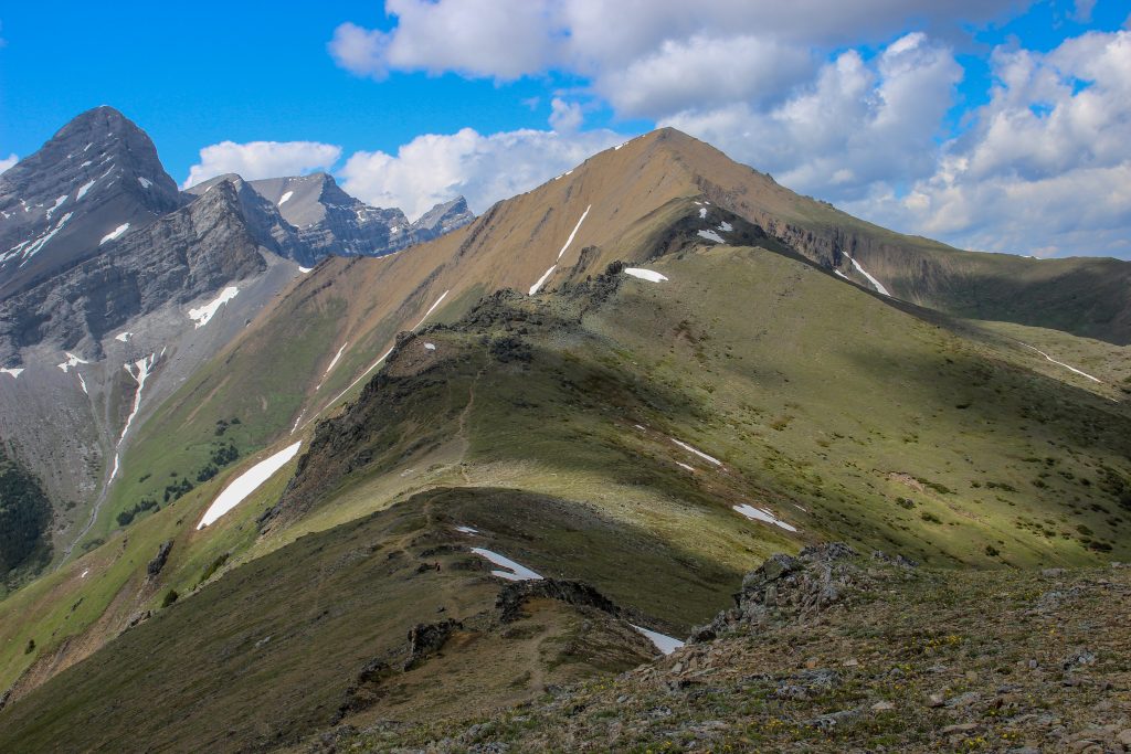
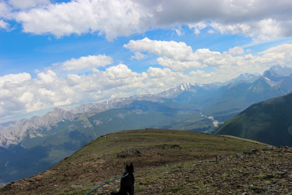
Guess I was getting tired or that there was not much to take pictures of as we headed down the last section of trail back to the car. We arrived at the car at 3:55 pm. It had been 8 hrs and 5 min since we set out from Dead Man’s Flats. While there are no photographs to commemorate our finish what I do remember is that we both thought that this was an epic hike and remains one of our favourite day hikes and of course that Volcano is Super Star Hiker.
