
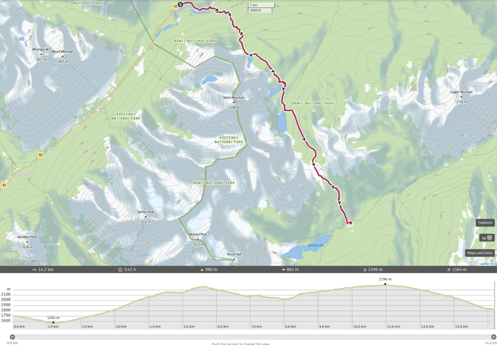
Day 1 Vista Lake Trailhead to Shadow Lake Campground, 14.2 km, 981 m Elevation Gain, 861 m Elevation Loss, 5 hrs 45 min.
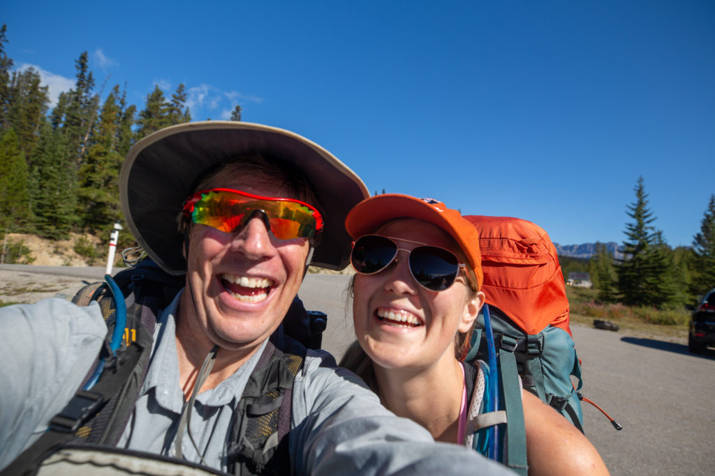
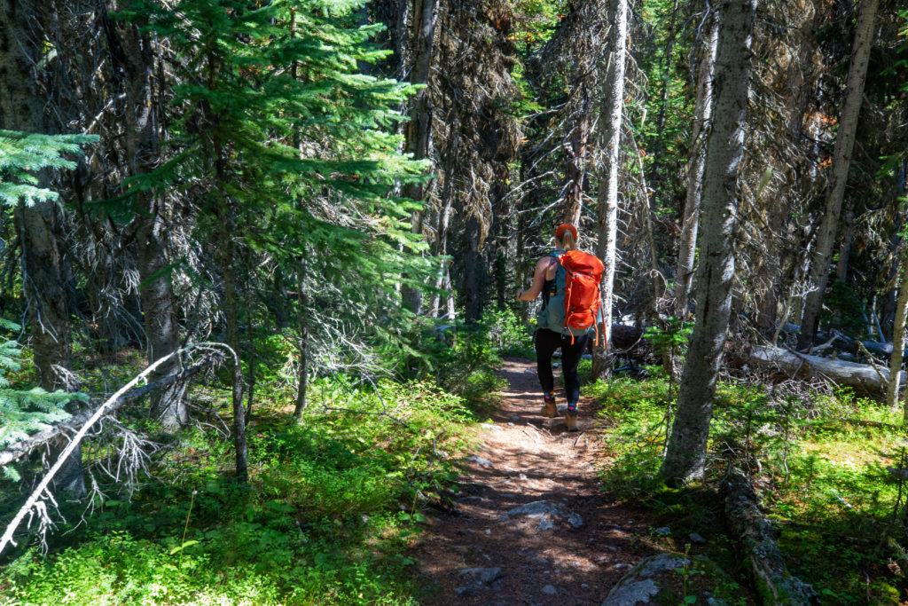
It was a bright and beautiful sunny day when we left Canmore just before 10 am. It was about a 50 minute drive to the Vista Lake Trailhead on Hwy 93 south. The hike was to be a little over 14 km so I estimated that at about a 3 km/h average we would easily arrive at our campsite at Shadow Lake CG by about 4 pm. The day headed sideways when we lost 45 minutes due to a traffic accident just a kilometre east of the Banff town turnoff. The loss of time was not overly concerning as the day was looking so good and our pre-hike spirits where high. We parked and had our packs on ready to go by 11:36 am.
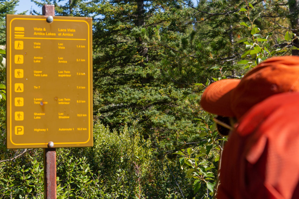
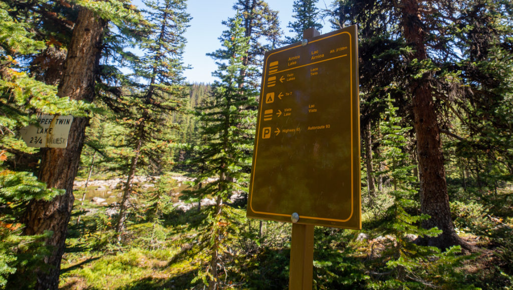
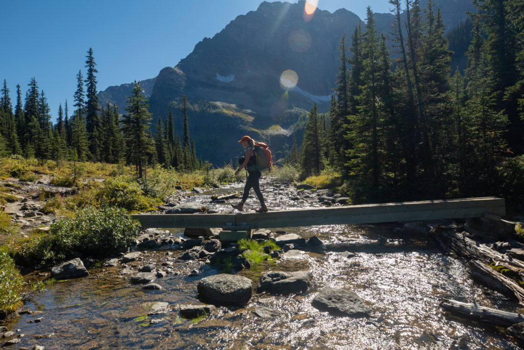
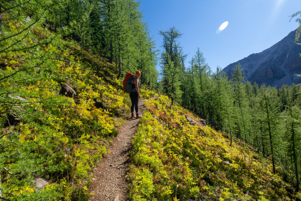
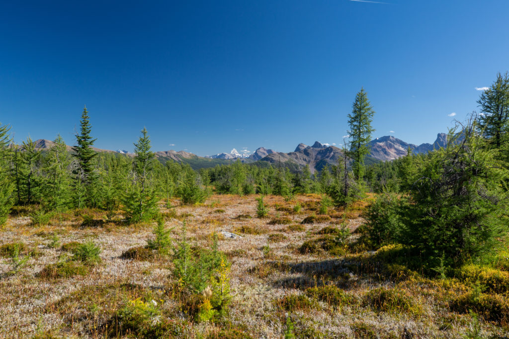
It was a quick 13 minutes to Vista Lake dropping 145 m. As would be expected for trail that has a lot of day use Parks Canada had the trail in very good condition. We crossed a bridge over the outlet to the lake and started heading uphill. I had not looked at any elevation charts but it would be a stiff climb of 600 m over 3.5 km to our lunch spot at Arnica Lake.
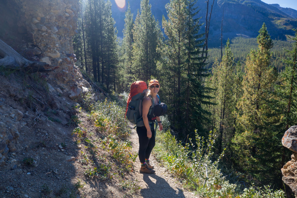
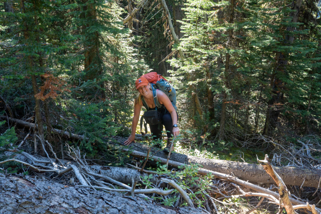
Siobhan led the way uphill but quickly started to suffer. I took over the lead and tried to keep a steady pace going. Siobhan was continuing to struggle and was constantly out of breath. At one point she measured her heart rate from her watch and it was 185 beats per minute. This was when we started to piece it all together. We knew Siobhan had to be in hiking shape as she had just finished a four day hiking trip. The trip she had been on was the Juan de Fuca on Vancouver Island at an altitude of basically sea level. We were now hiking at an altitude of a bit over 1500 m heading for a maximum of about 2300 m. So it quickly became apparent to us that the difference in altitude between the Juan de Fuca and the Vista Lake trail must be the reason for her struggles. It was not as if Siobhan was lollygagging and taking it easy. We made the decision for me to take the tent and Siobhan’s sleeping bag to lighten her load a bit. Siobhan was disappointed as she had hoped to be sharing the load 50/50 on this trip but there was no other choice.
“Siobhan: It’s always hard on the ego to admit that your body isn’t performing to your expectations. However, communicating to my hiking partner and lightening my load made the day more enjoyable and allowed my body to adjust. There’s no room for an ego in the back country!”
As we made our way up to Arnica Lake we were passed by two young Parks Canada employees. We stopped and chatted with them and for the first time ever I was asked for my permit. They took down my permit number in a notebook. They were headed up to Arnica Lake to check for permits and do a little clean up. We slowly grinded our way up to Arnica Lake arriving at 1:45 pm. We had covered 4.6 km and gained 600 m of elevation in about 2 hrs and 10 min. All things considered we had done pretty good. The hike was going to be a little flatter moving forward.
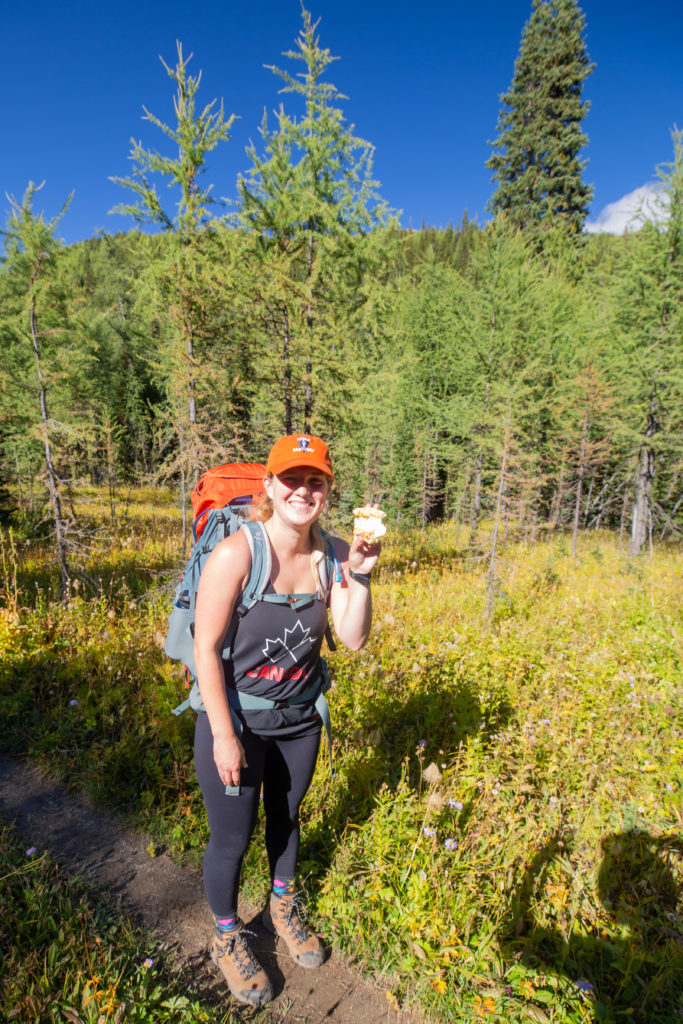
We met up again with the Parks employees at the lake and had lunch with them. I had my classic backpacking wrap, red pepper, salami, potato chips and cheese while Siobhan ate homemade pizza. For dessert I had brought a special treat of apple fritters from Fergies Bakery in Canmore. The one Parks employee lived in Canmore and knew Fergies, they were jealous. There were a few groups of people at the lake including a couple of young men with their dog off leash. One of the Parks people went over and asked the men to put their dog on leash. The Parks employees echoed the sentiments my other child Micah that working for Parks Canada and not being Wardens they got very little respect from people. Just before we headed off they took a staged photo for social media of me having my permit checked. I had to sign permission for them to use the photo but never did see it. We headed off from Arnica Lake at 2:05 pm.
“Siobhan: The treat of apple fritter and homemade pizza really improved my mood. Would definitely recommend bringing a tasty (heavier) snack for the first day.”
As we headed off a large group of older hikers passed us heading back to the trailhead. The young men with the dog, now off leash, cruised by us. Luckily the dog was very pleasant and appeared to be very happy.
“Siobhan: We don’t judge, but as locals and fans of outdoor spaces its important to Leave No Trace and follow the rules. They aren’t there to rain on our parades, but to keep the wild wild.”

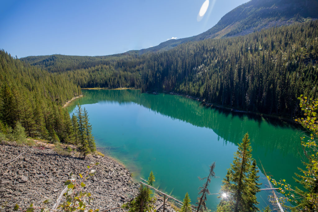
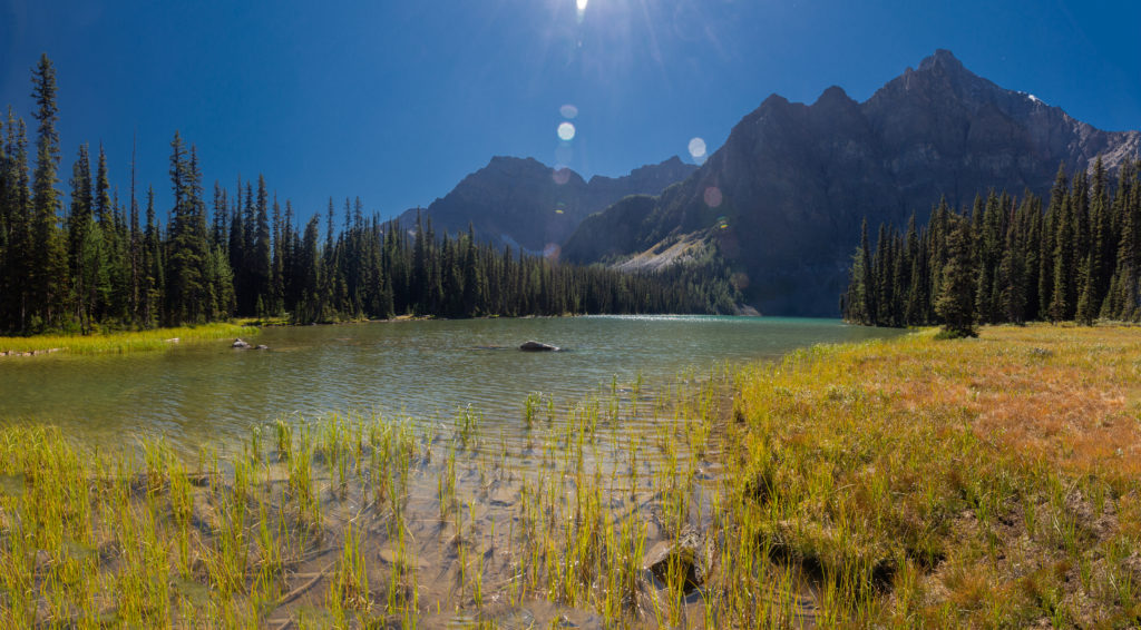
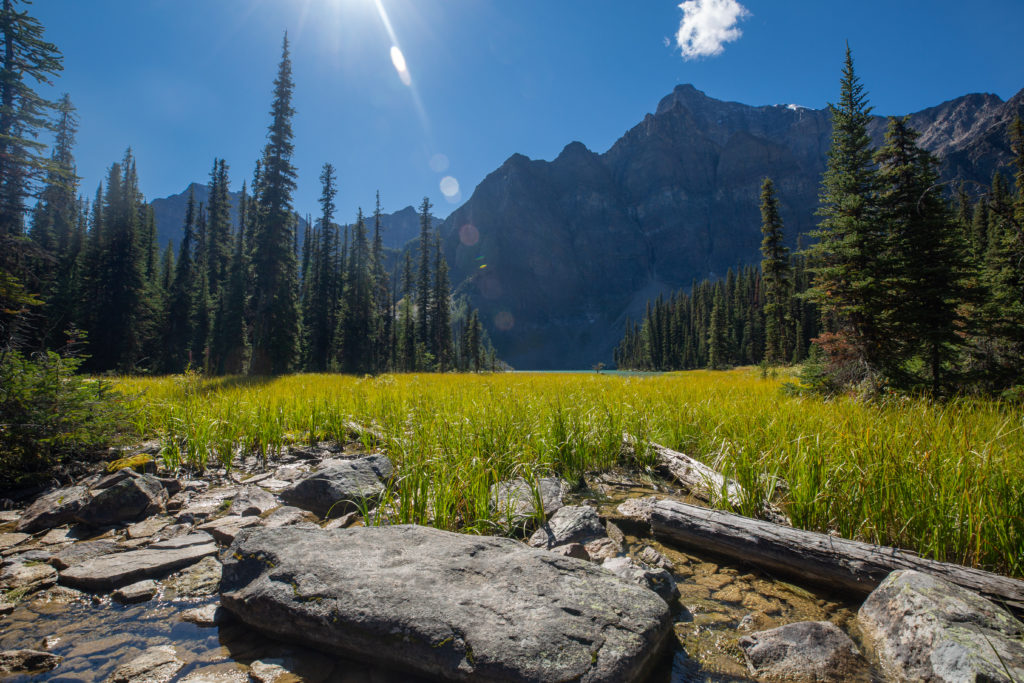
The trail continued to go up as we headed to Upper Twin Lakes but the gradient was much less than the approach to Arnica Lake. After gaining 100 m over the next 0.8 km the trail was predominantly downhill for the remaining 2.5 km to Upper Twin Lake.
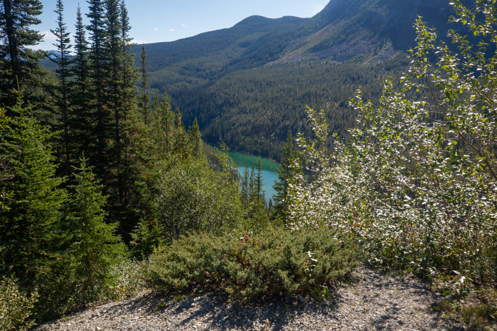
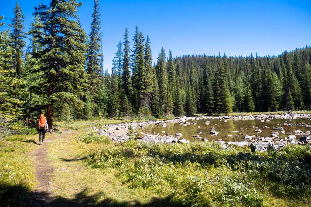
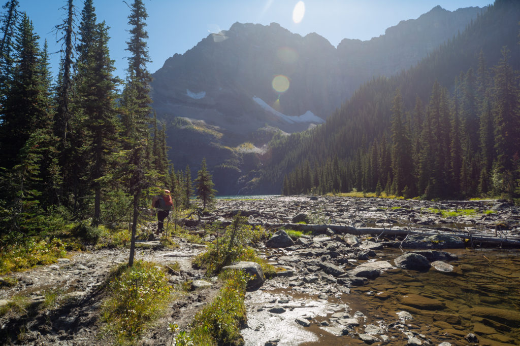
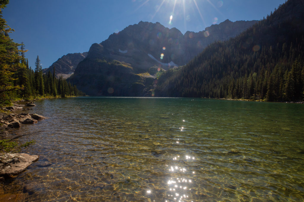
We arrived at Upper Twin Lakes at 2:44 pm. The trail did not take us close to the main part of the lake but gave a view from the wetlands at the outlet. Lower Twin Lake would be a further 1 km with a 50 m loss in elevation. We were both enjoying the easy hiking along this stretch. After the struggles on the initial ascent we were both feeling very good. We had about the half the hike remaining and only about 270 m of elevation left to climb.
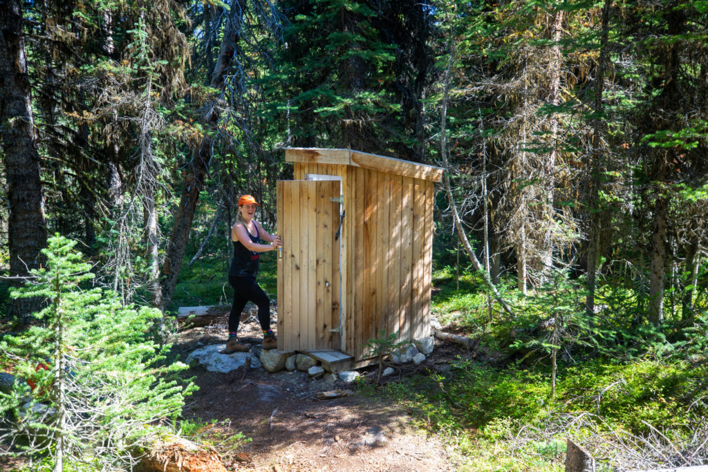
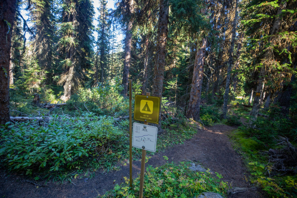
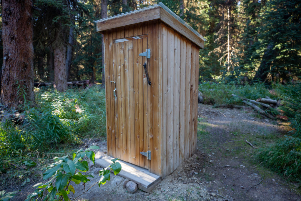
Just a couple of minutes after leaving Upper Twin Lake we arrived at Twin Lakes Campground. The campground looked well maintained and came complete with a brand new outhouse that Siobhan tested out. Smelled like fresh pine.
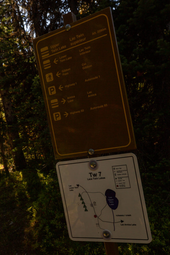
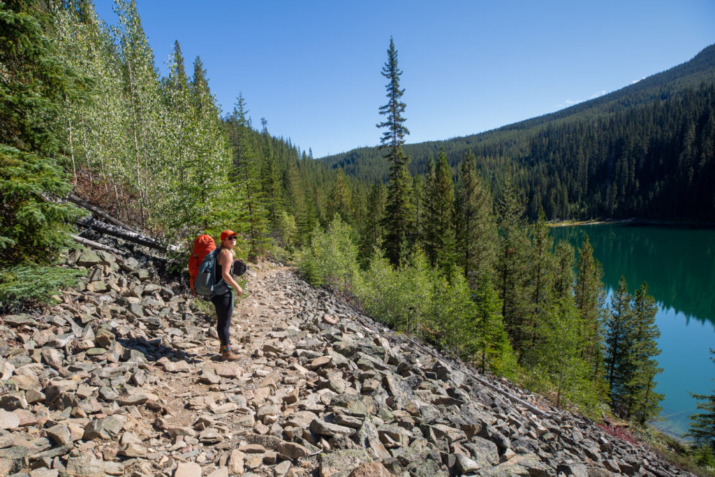
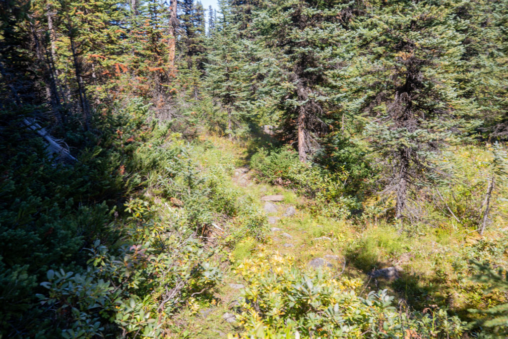
The trail became very muddy as it flattened out on our approach to Lower Twin Lakes. About 10 minutes after leaving the campground we joined up with the Twin Lakes Trail. From what we could see the trail did not look very well used and was a bit rough.
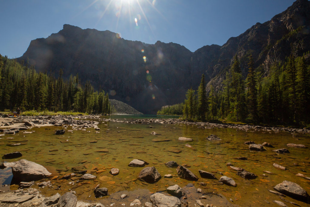
The trail to Gibbon Pass which would be our high point for the day does not actually go to Lower Twin Lake. We decided to take a little spur trail to get a close up view of the lake. We passed by the two men and the dog relaxing before heading back to their car at the Vista Lake trailhead.
After checking out the lake instead of hiking back to the main trail we decided that we would bushwhack back to the main trail to save time. I really should have checked the topo map as the hill we had to climb was quite steep. Our route climbed 90 m over just 300 m with plenty of downed trees to navigate. It took us over 10 minutes to rejoin the main trail. It would have been faster and easier to backtrack to the main trail but it was a fun silly little side adventure but not I would recommend.
“Siobhan: I had been feeling quite good all things considered but bushwacking is exhausting. My dad may have gotten a little overeager from all his bushwacking experience on the Great Divide Trail. Moral of the story, sometimes back tracking a few minutes can save a lot of time and energy.”
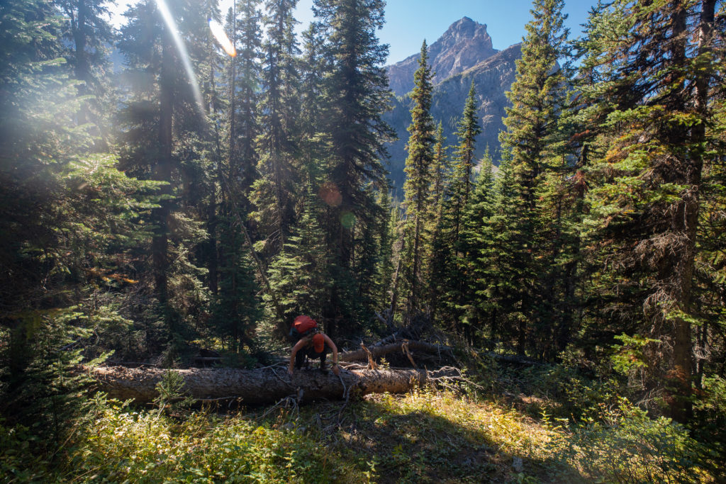
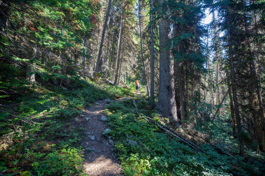
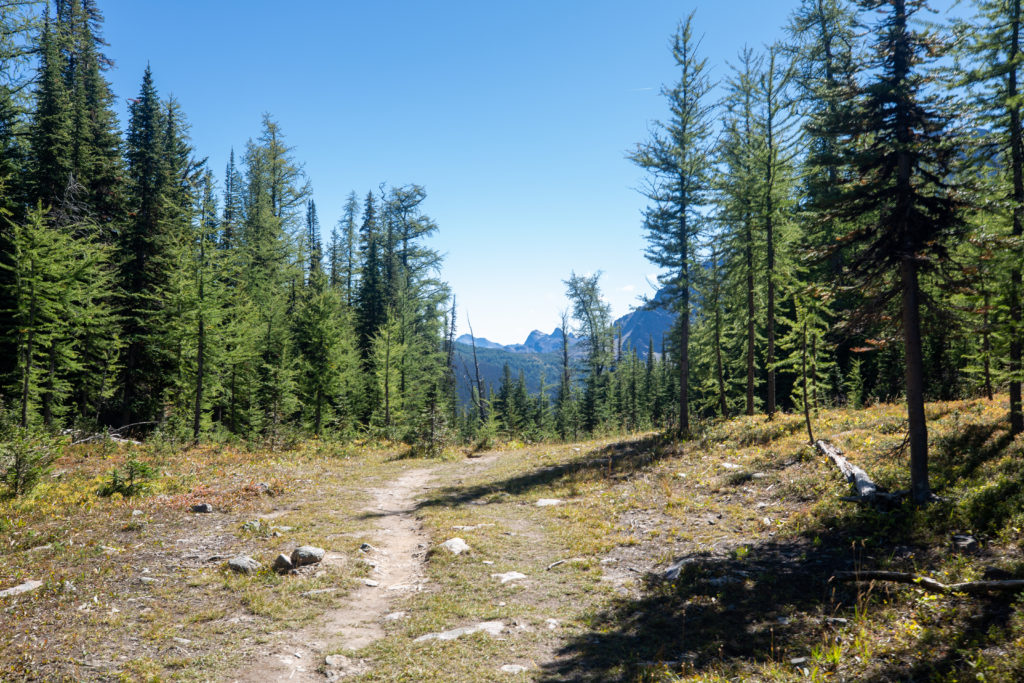
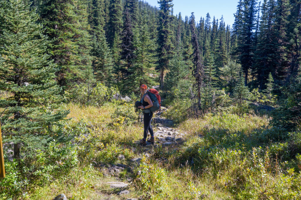
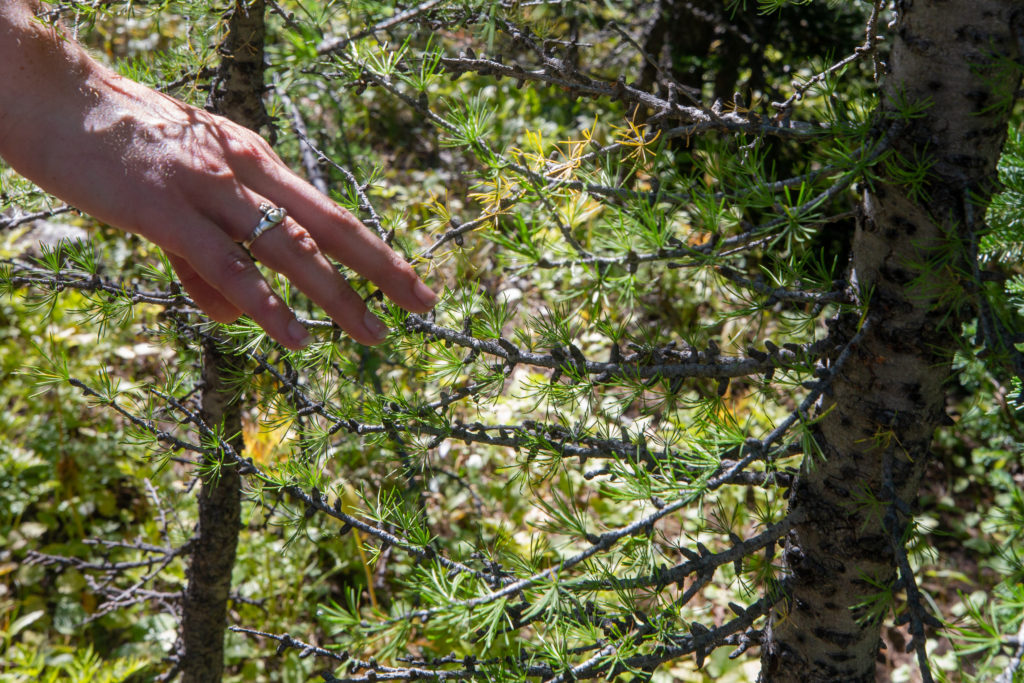
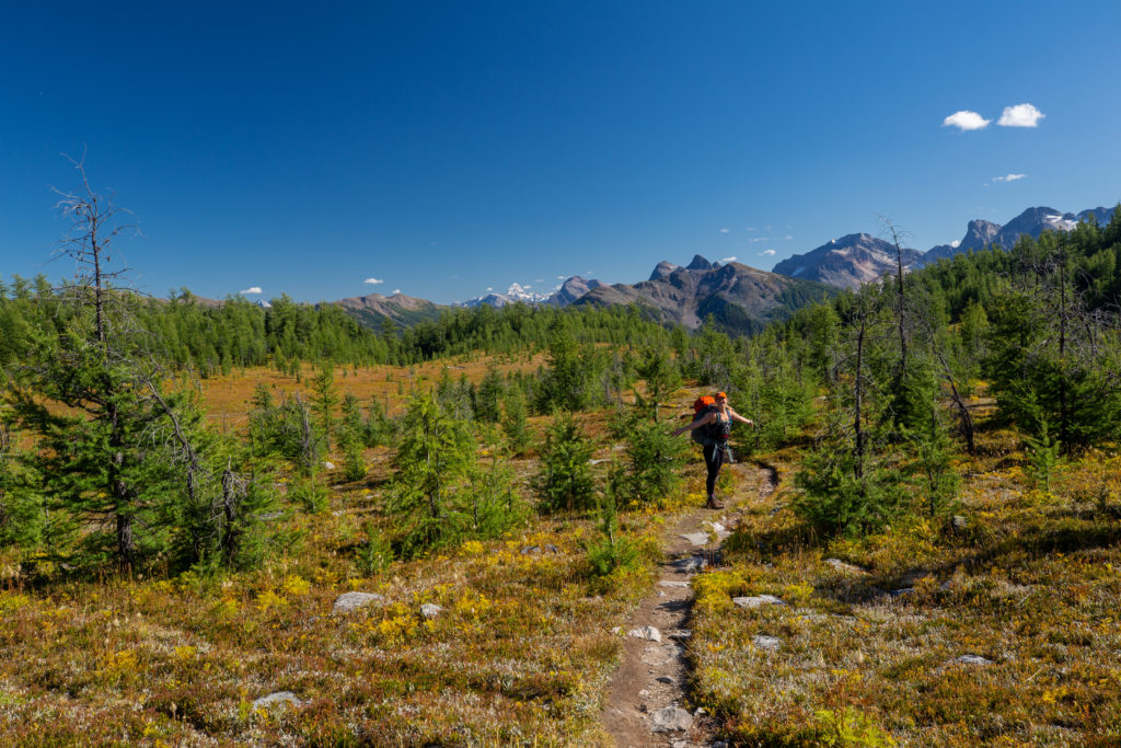
The trail contoured nicely up to Gibbon Pass. We passed a couple of backpackers heading for the Twin Lake Campground. The larches were just starting to turn golden. While it would be a big day hike the Gibbon Pass area must look amazing during larch season.
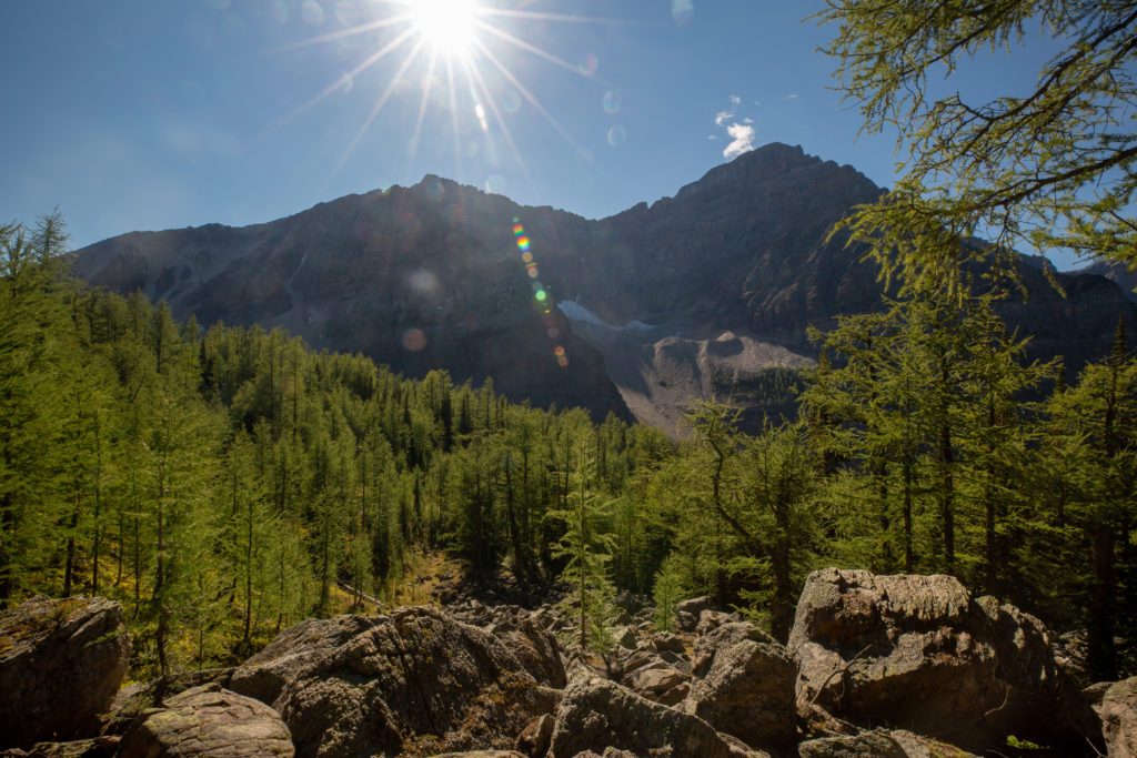
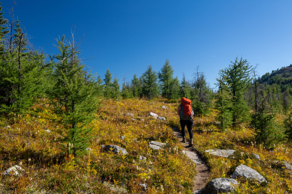
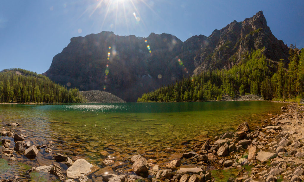
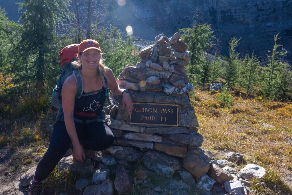
Including our bushwhack it took us 1 hour to hike the 2.8 km from Lower Twin Lake to Gibbon Pass. The pass was quite gorgeous with the green trees dotting the orange blanket of the undergrowth. The pass was marked by a nice plaque marking it at 7500 feet. Gibbon Pass was named in 1929 fro John Gibbon who was the public relations manager for the Canadian Pacific Railway. On the horizon we could Mt Assiniboine a straight line distance of about 75 km.
There is a trail just a couple of hundred metres past the monument that leads up Little Copper Mt to a panoramic viewpoint. We talked to a guy in camp later in the evening and he said it only took him 30 min and that the view was stunning. Maybe next time but it was closing in on 4:30 pm and we still had 3 km left to go.
“Siobhan: Half of the fun when hiking is finding more hikes!”
As we headed off the top of the pass we met a couple doing a day hike from the Shadow Lake Lodge. They warned us that the trail down was quite rough. About 15 minutes after leaving the pass Siobhan decided to take a break and eat the rest of her pizza.
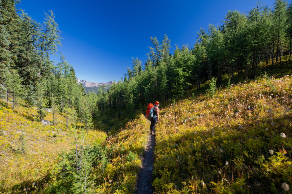
As we started the descent in earnest we met a couple of lovely dogs with backpacks heading up to Gibbon Pass with Twin Lake CG as their final destination. The trail was a little rough as we had been warned but it was a fairly quick drop to the junction at Shadow Lake Lodge.
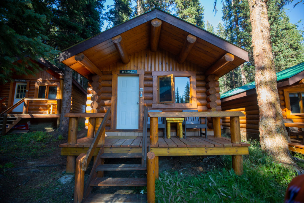
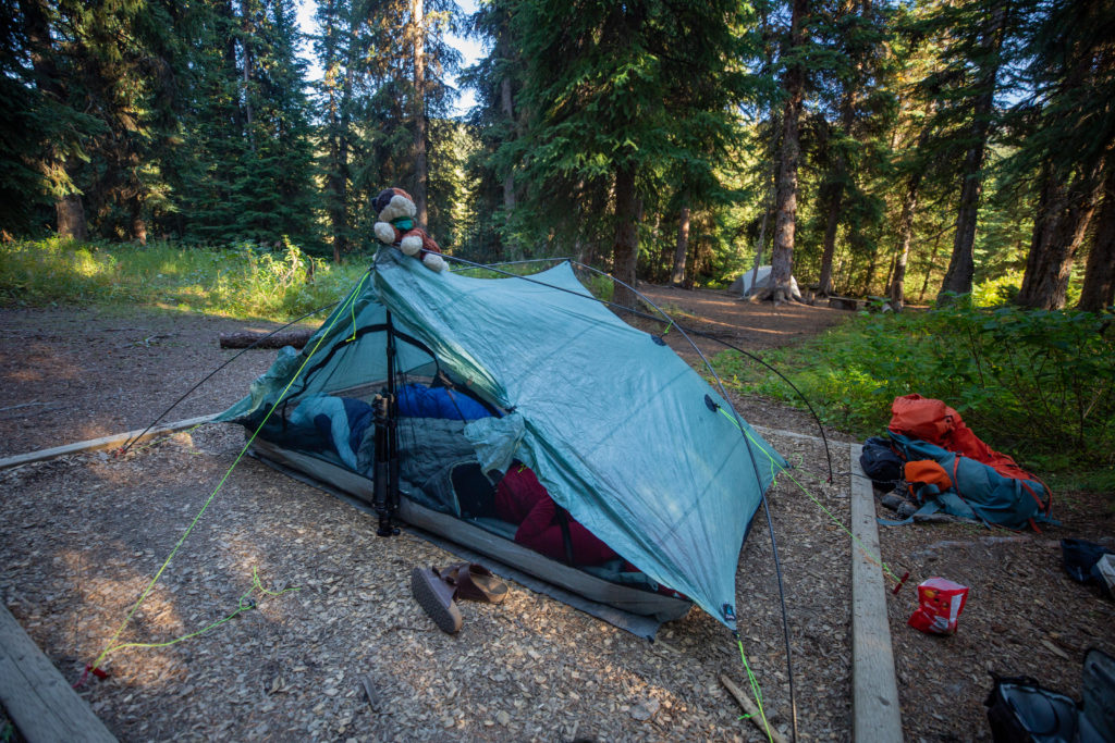
We arrived at the junction with the Redearth Creek trail at 5:15 pm. We took a quick look at Shadow Lake Lodge. I had always assumed it was backcountry hotel but the guests stay in individual cabins. We made our way to our campground. The tent sites were all close together in a clearing surrounded by tall trees. There were two tents set up, one belonging to the hiker we saw up on Gibbon Pass. We chose our site and dropped our packs at 5:20 pm.
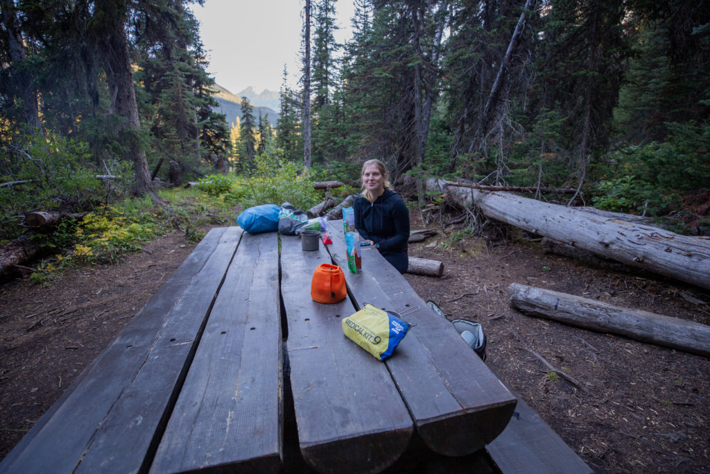
We set off to the eating area to have dinner at about 6:45 pm. We were undecided if we would head off to Shadow Lake after dinner as we would hike right by it in the morning. We shared the table with a lovely couple and the guy just happened to be a professional photographer. He made his money leading client trips so Covid had been particularly tough on his business. After talking with him we made the decision to head off to Shadow Lake after dinner to take photos in the soft evening light.
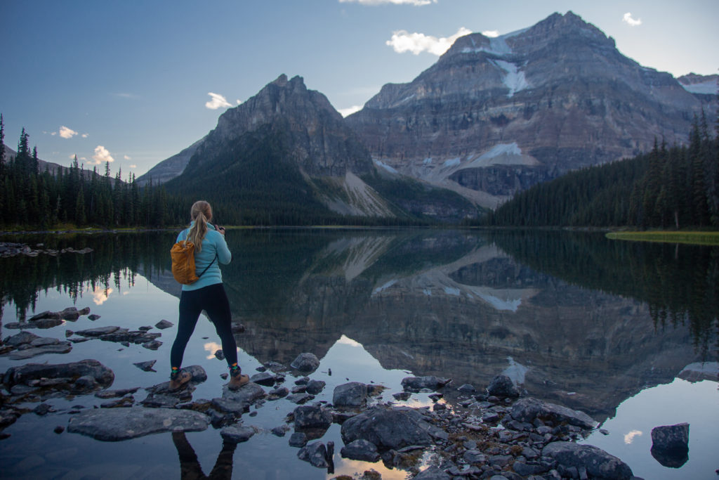
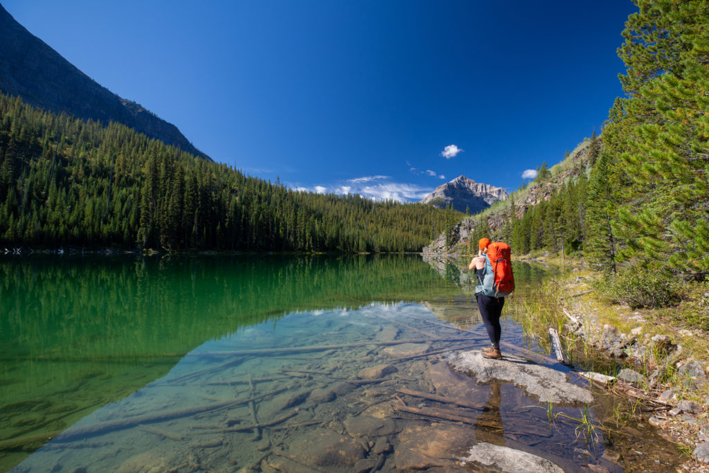
The trail to Shadow Lake was a little sloppy and I had chosen to walk in my sandals. With the light fading we had both decided to bring along our headlamps for the trip back to the campsite when it would probably be dark. Our time at Shadow Lake was amazing. We both played with different ways of setting up our cameras and we were quite pleased with the results.
“Siobhan: I’ve previously hurt my toes wearing sandals on uneven terrain at Floe Lake, so I only wear my sandals around the campsite.”
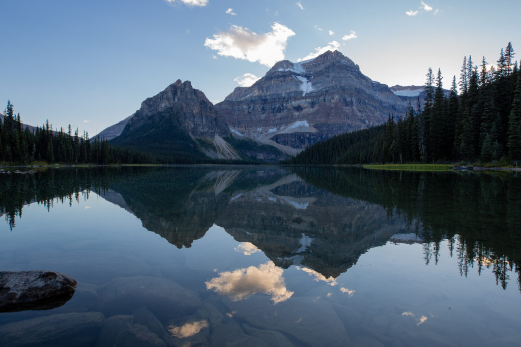
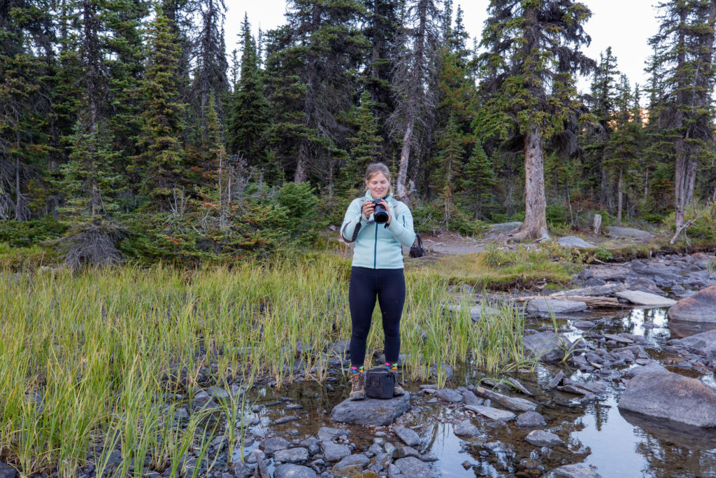
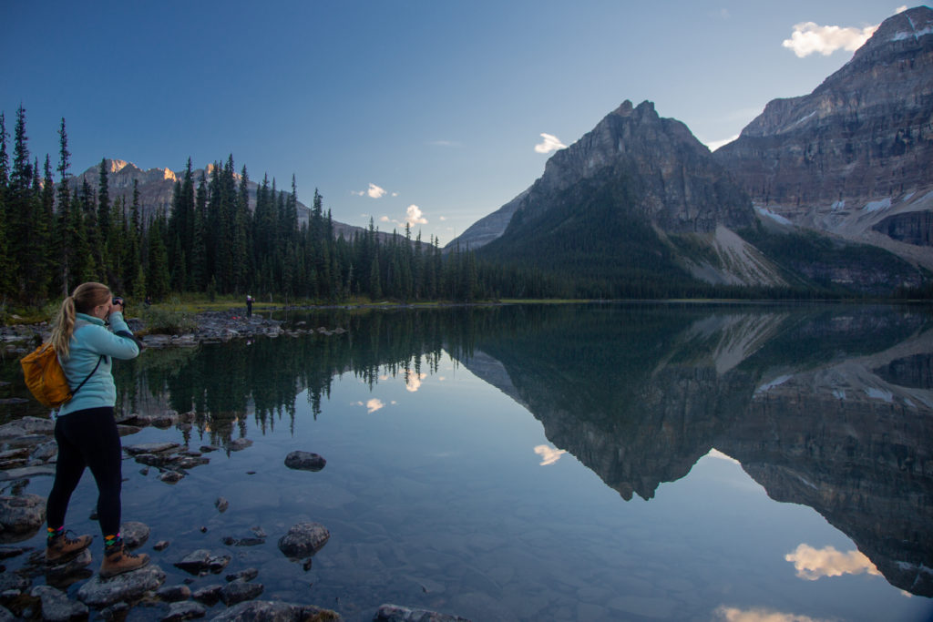
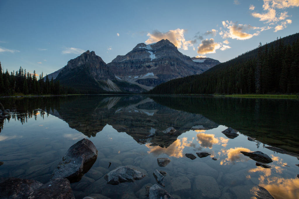
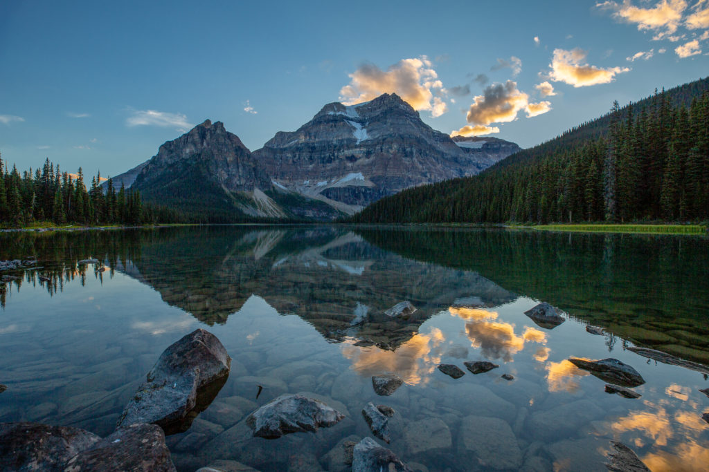
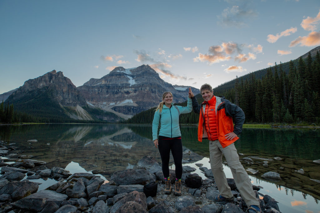
We spent about 35 minutes taking pictures at the lake. We headed back to the campsite just after 8:15 pm arriving back at about 8:35 pm. It was definitely getting dark by the time we arrived back at the tent and I was glad I had my headlamp. We had a short day coming up with our destination being just 6 km to the campground at Ball Pass Junction followed by a hike up to Ball Pass. We both read and relaxed before going to sleep the intent was to have a little lie in in the morning. I am not good at sleeping in!
“Siobhan: Nothing like views, a good hiking partner and tasty snacks to make a potentially difficult day pleasant.”