Lipan Point to Palisades Creek.
Distance 19.1 km, 1417 m elevation loss, 7 hrs 35 min.
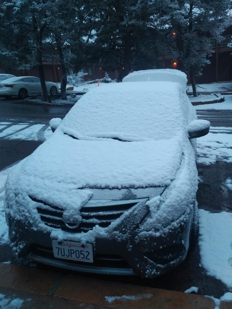
We woke up in the morning and, as forecast, a thick heavy blanket of snow covered the ground. We got up and went to the cafeteria and fuelled up with breakfast and a couple of coffees to prepare for the adventure that lay ahead.
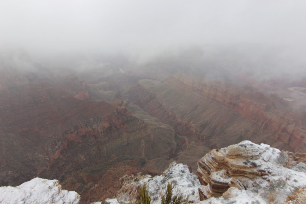
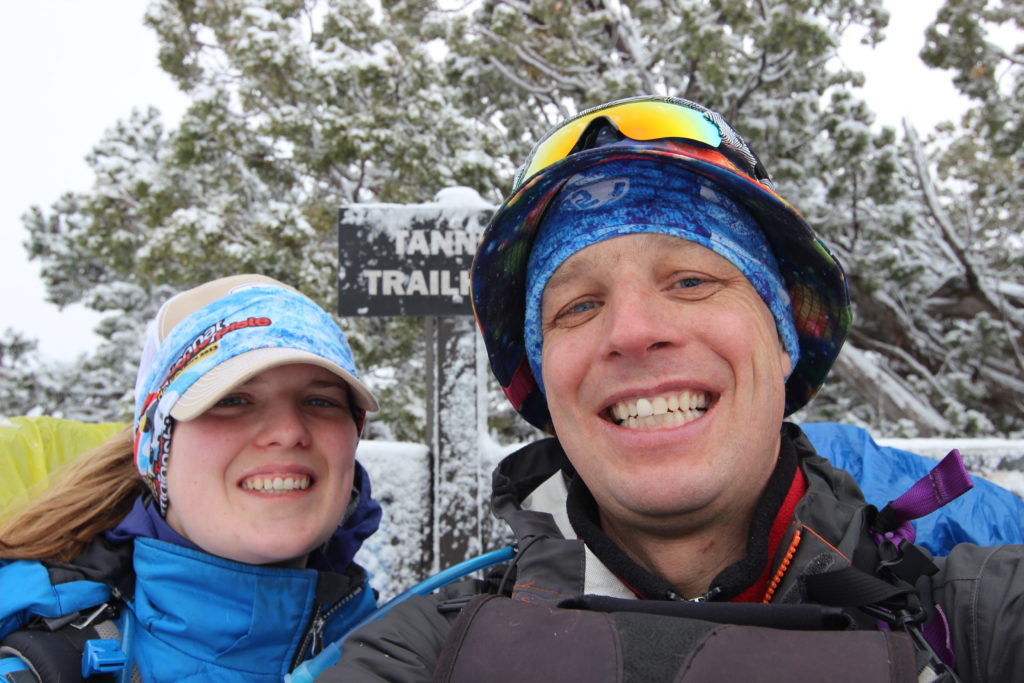
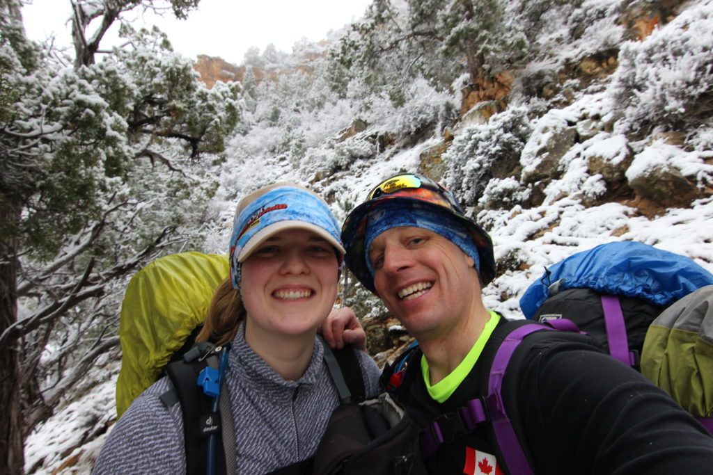
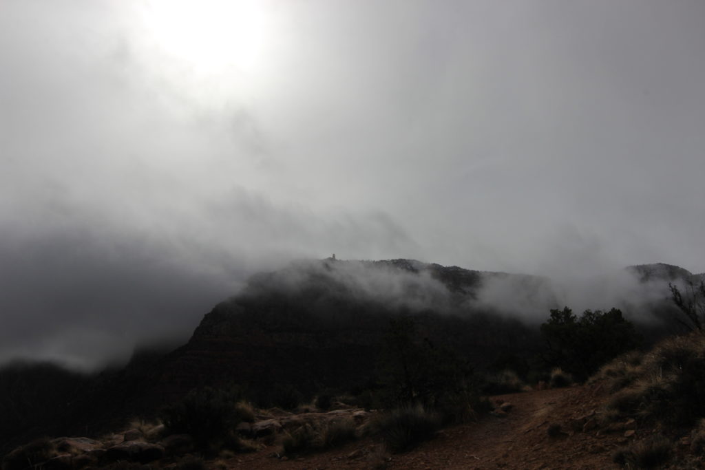
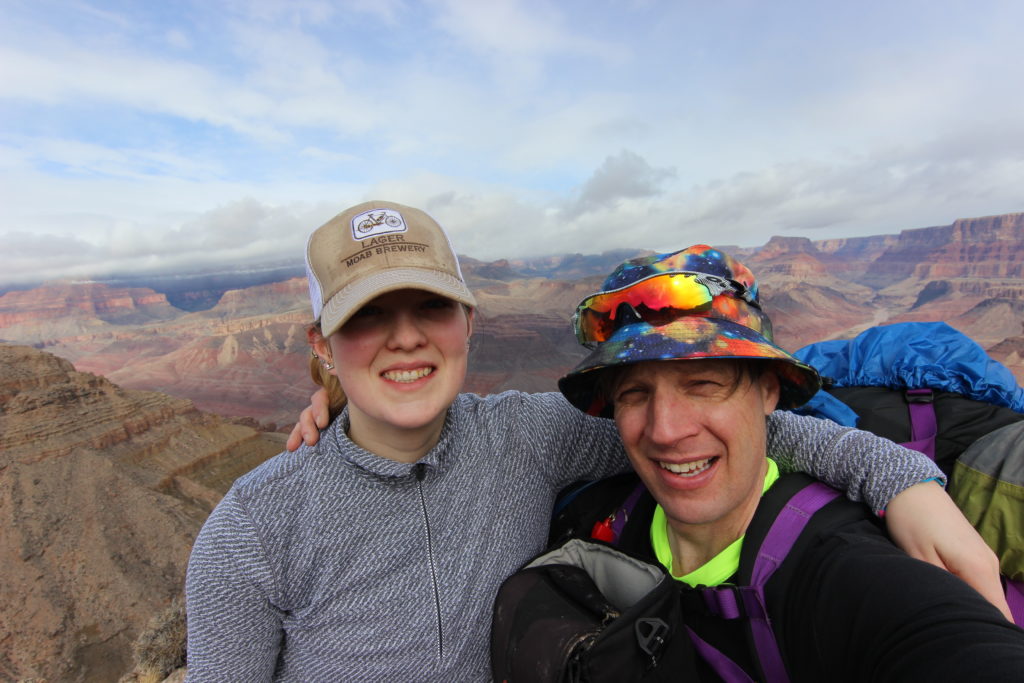
We arrived at Lipan Point at 9:35am; there was snow everywhere. I was just mildly concerned about the weather, since when looking into the canyon, a thick layer of clouds prevented me from seeing the river at the bottom. We took the obligatory start-of-hike photo, smiles all around, and headed onto the trail, it was 9:40am. Siobhan was wearing a light puffy jacket, I had on a fleece jacket and my rain jacket (to block the wind) and we both had buffs wrapped around our heads.
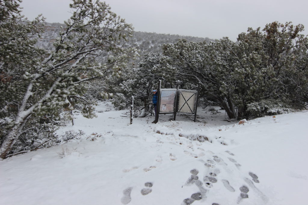
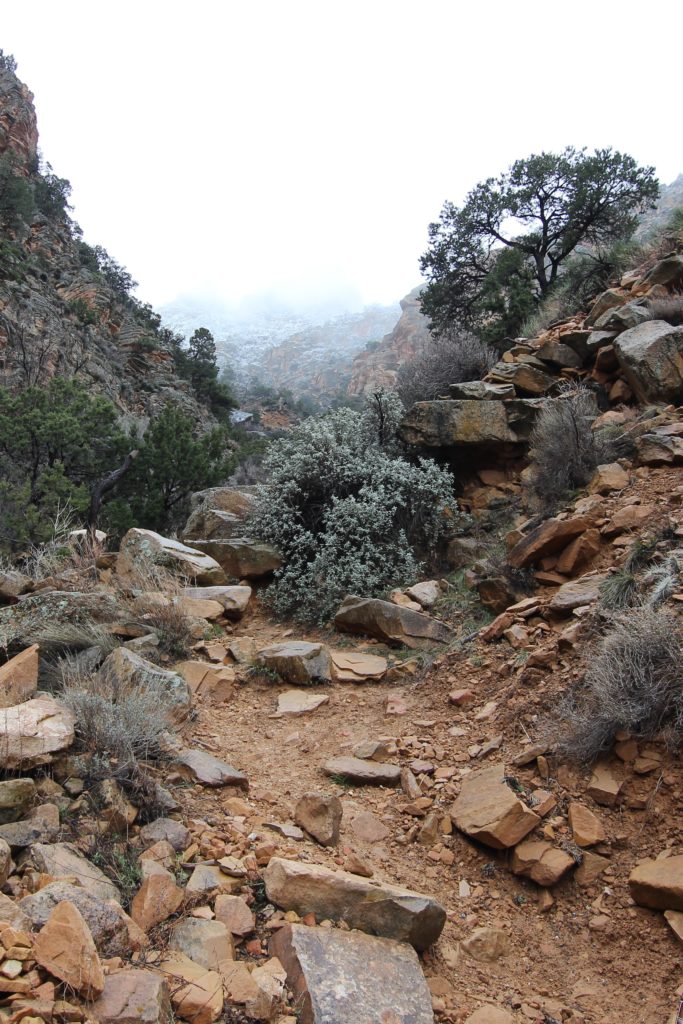
The trail heads into the trees, curls around to the left, then starts descending with a purpose. I was certainly glad to have both a hiking pole and the traction aids on my boots.
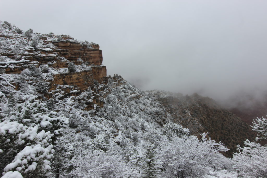
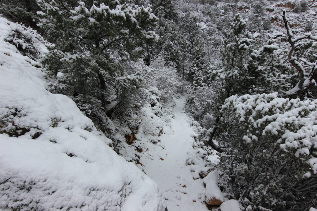
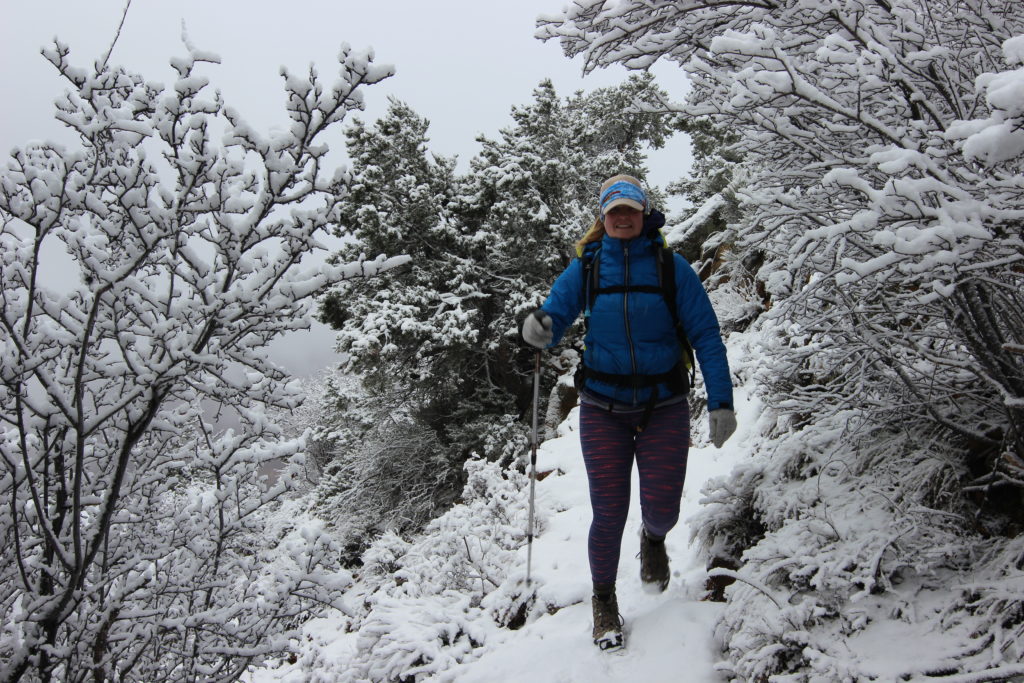
After only 15 minutes of hiking, we had begun to take off layers, I was down to just a polypro t-shirt and long-sleeved shirt. The trail switches back and forth and drops through the Kaibab Limestone cliffs, the common first rock formation on the South Rim. Within 20 minutes of the start of the hike, we were out of the snow and had removed our traction aids.
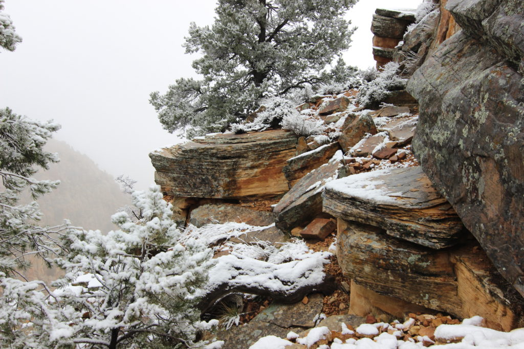
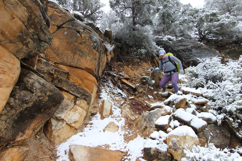
The initial descent was very steep, this is for two reason. First is that the typical rock layers at the top of the South Rim are the Kaibab Limestone, Toroweap Formation and the Coconino Sandstone, typically form cliff, slope, cliff arrangement, but in the Eastern Grand Canyon, the layers form cliff, cliff, cliff. This means that there is no gentle slope between the Kaibab and the Coconino. The Toroweap Formation was laid down in a fluctuating shallow sea that covered most of the Grand Canyon, with a shoreline in the Eastern Grand Canyon. This leads to a predominantly sandstone layer being placed in the area of the Tanner Trail and sandstone, being resistant to erosion, forms cliffs instead of the familiar slope.
The second reason the descent is steep is that there is no mule traffic on the Tanner Trail, so the National Park Service has no reason to level out the grade.
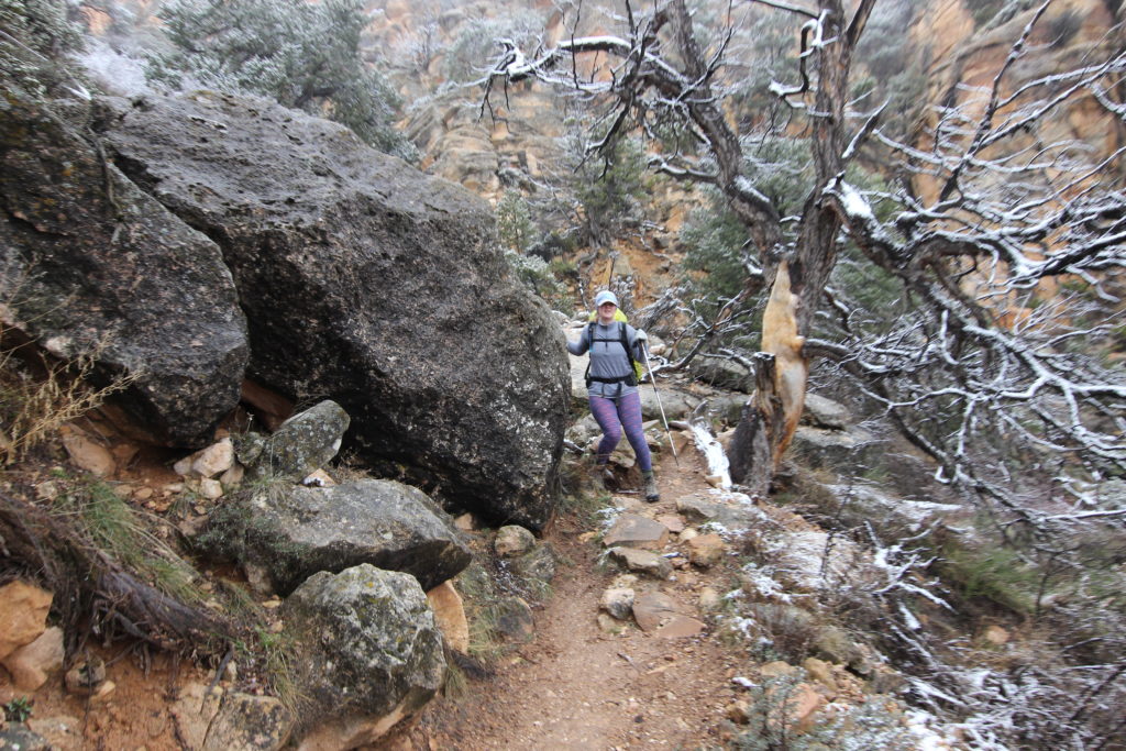
Snow has disappeared almost completely.
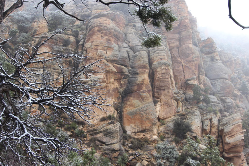
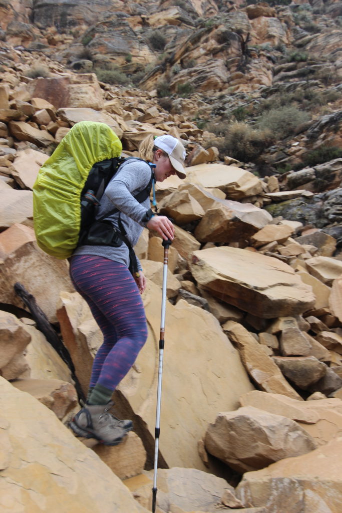
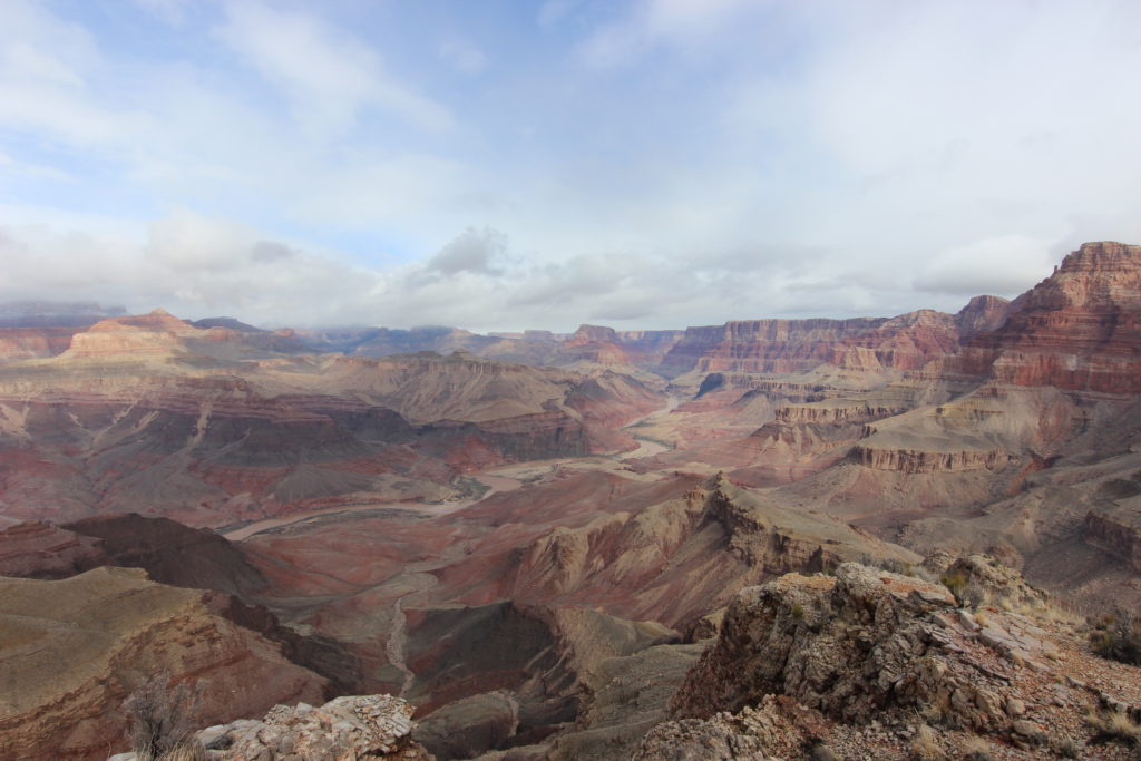
It took only 2.5 km to drop through the three rock layers, losing almost 550 m of elevation! We left the initial canyon, and a view opened up to the west down Seventy Five Mile Creek. We had been hiking for about an hour, not a fast pace, but it was very treacherous in the snow.
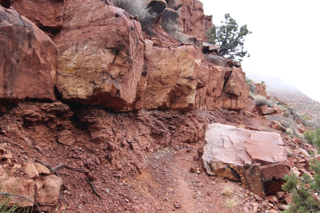
The red blocks are the uppermost member of the Supai Group known as the Esplanade Sandstone.
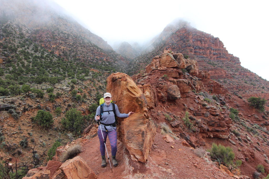
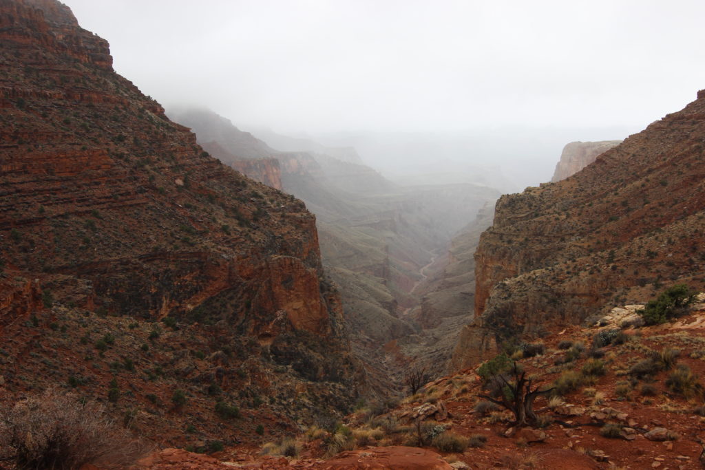
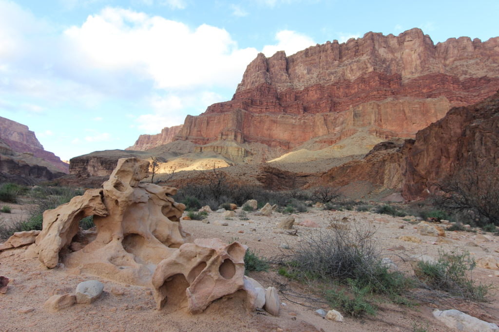
The next 4.25 km were along the Supai Traverse. This is a relatively flat traverse of the Supai Formation that took us to a spectacular lookout over the inner canyon. This gave our legs a nice break from the pounding of the initial descent. We passed some very cool-looking rocks, tan coloured with red swirls in them, and trees growing right out of a rock.
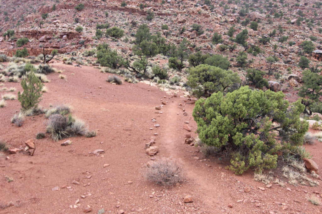
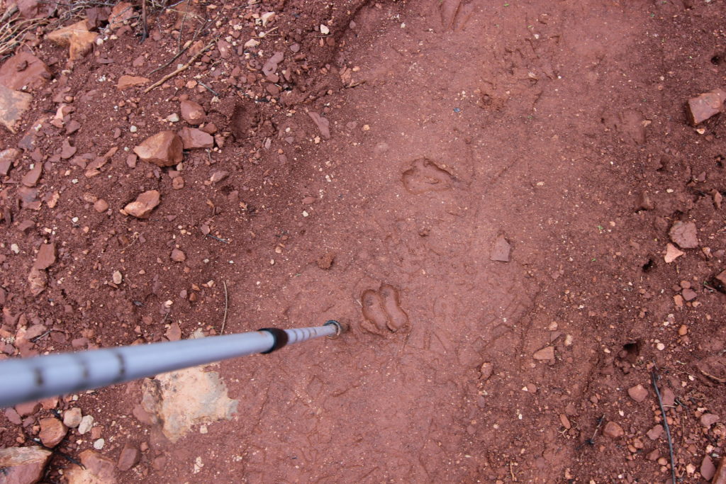
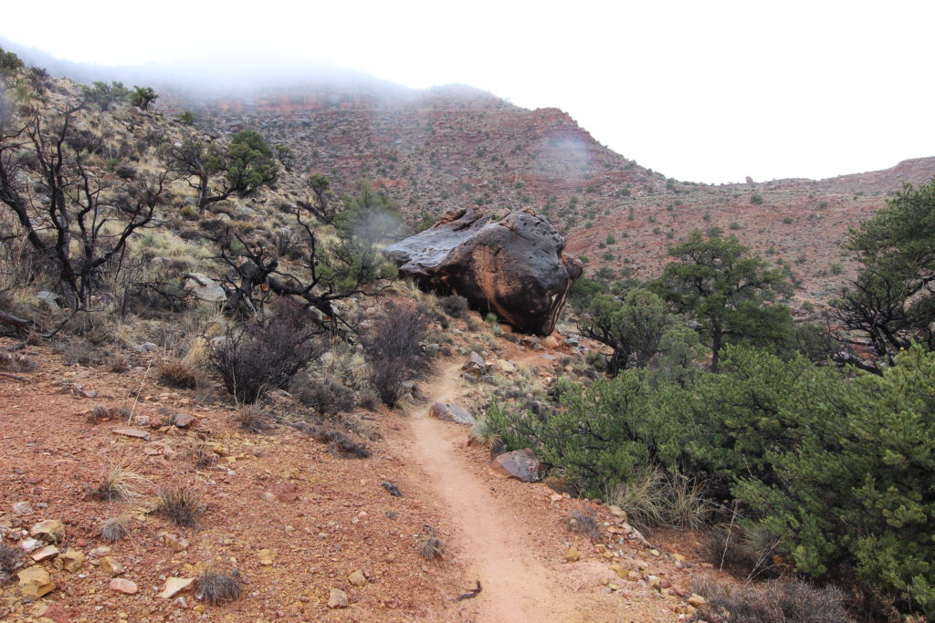
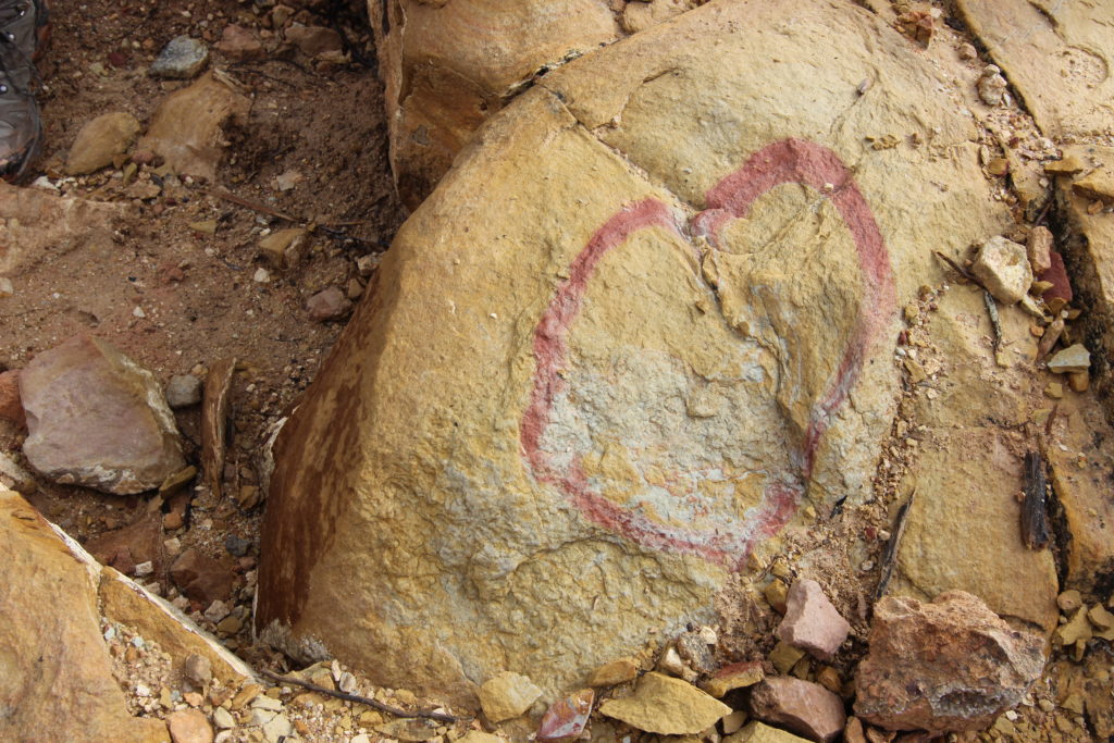
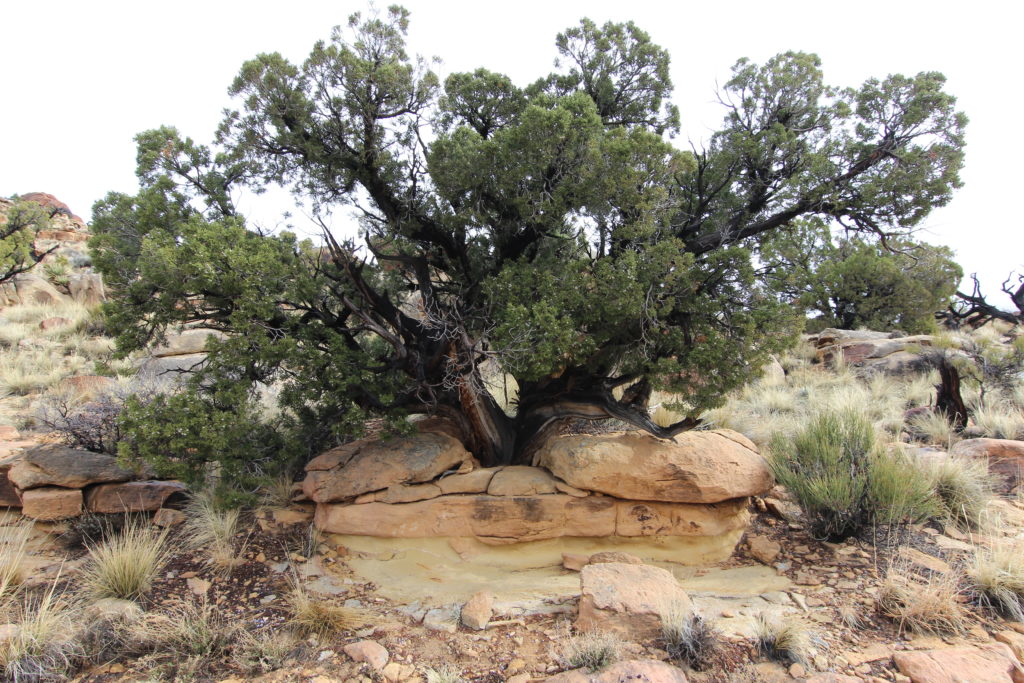
The clouds hung in over Lipan Point, but the canyon below us was becoming clear.
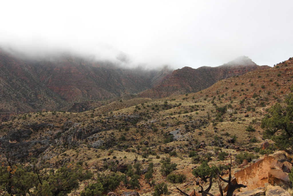
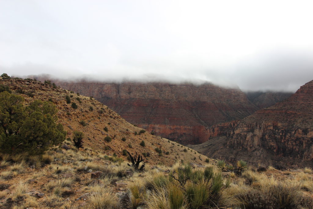
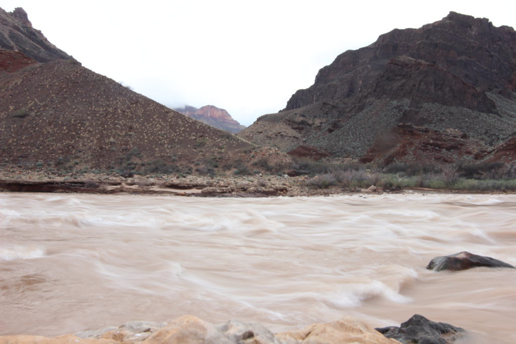
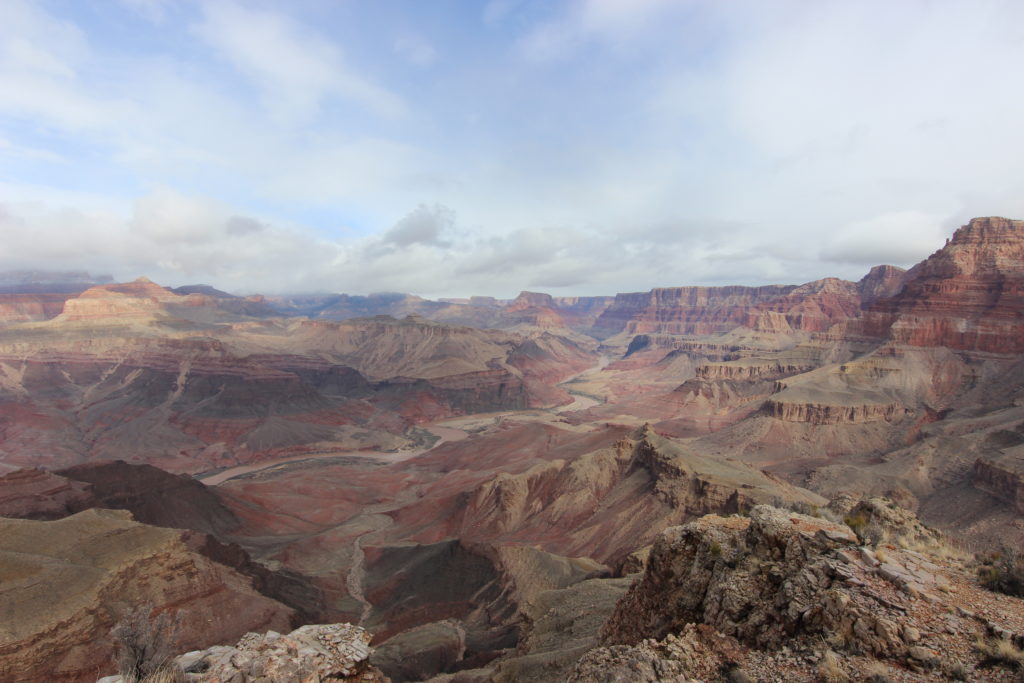
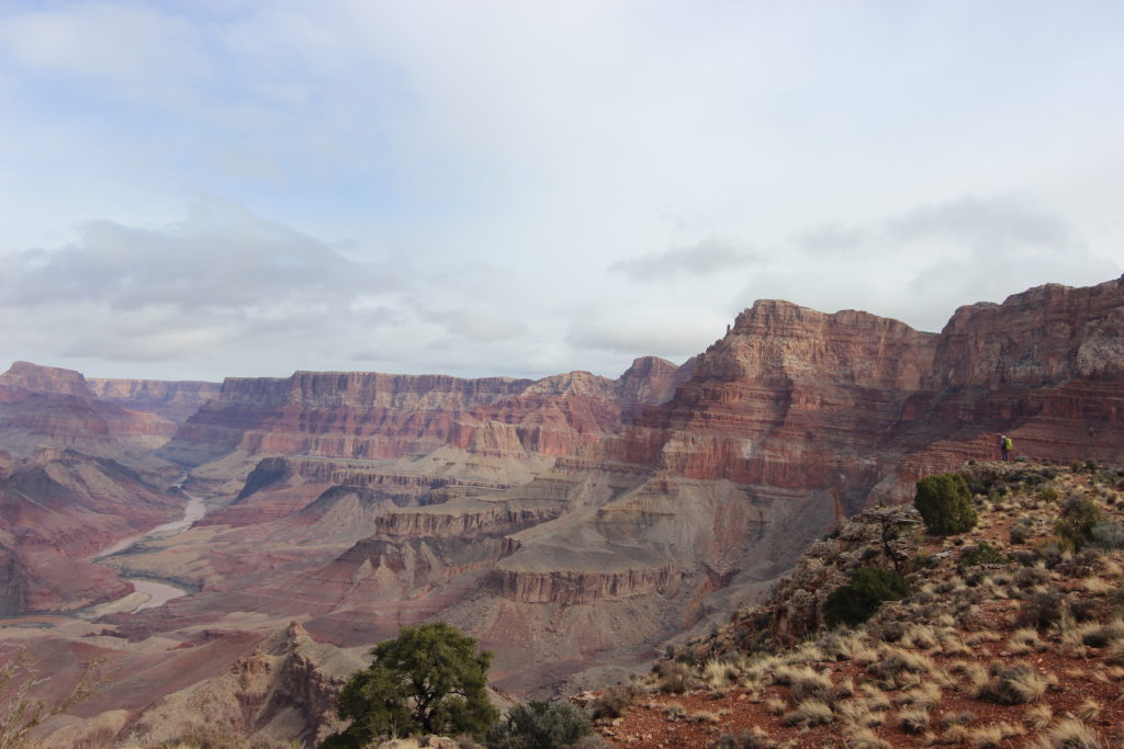
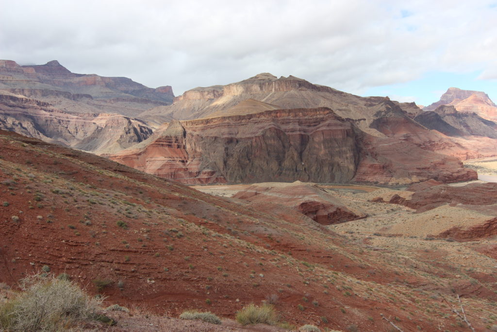
We finished the traverse at an overlook called the Redwall Overlook. We could see the Tanner Grabben and Tanner Rapids where we planned to have lunch and off to the east, the cliffs marking Palisades Creek. It all seemed very far away. This is popular place for camping, I could see that it would provide stunning vistas at sunrise or sunset of the rocks of the inner canyon. We stopped for pictures and a snack. We had travelled 6.75 km, about a third of our trip for the day, in 2 hours 30 minutes.
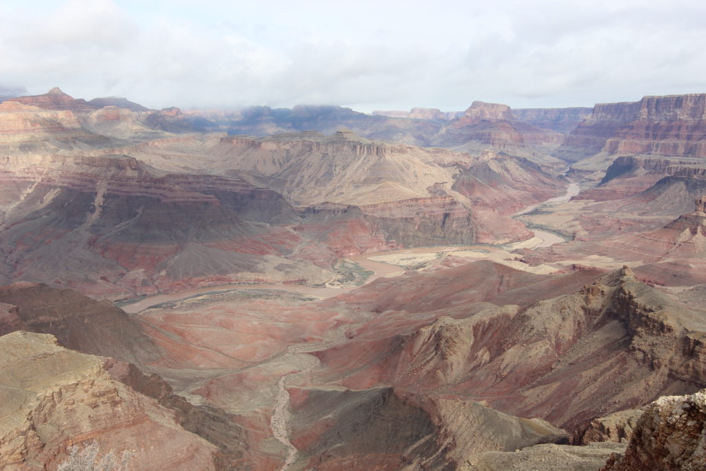
We now descended the Redwall Limestone, which was not red! Limestone is typically grey, but in most of the Grand Canyon, red iron-bearing rocks above the Redwall Limestone eroded and deposited red mud onto the grey limestone, colouring it red. But on the Tanner Trail, virtually all the rock above the Redwall Limestone has been eroded away, allowing the limestone to display its natural colour, grey. The trail was very steep and narrow, glad we had poles to provide extra stability.
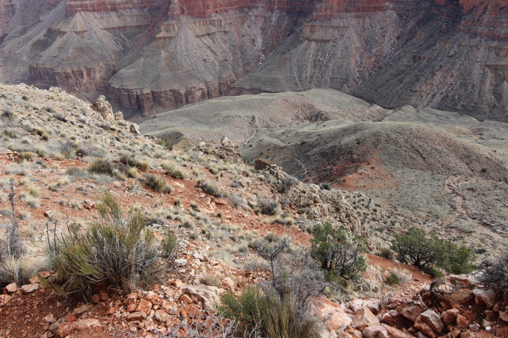
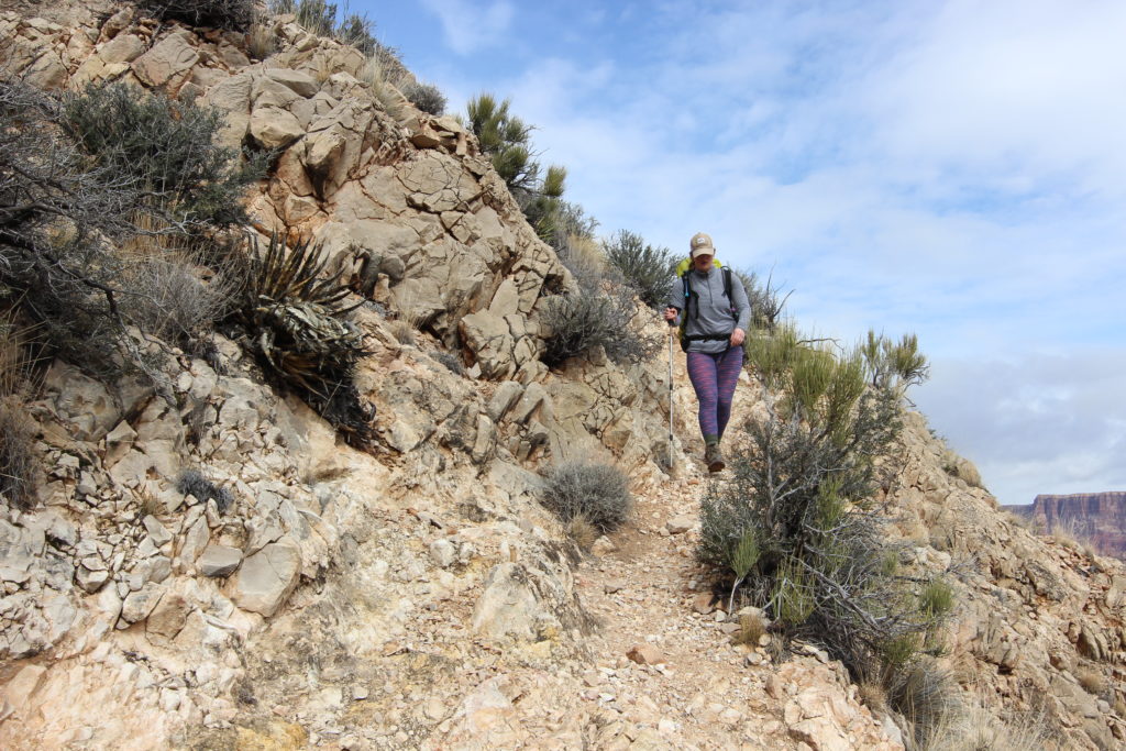
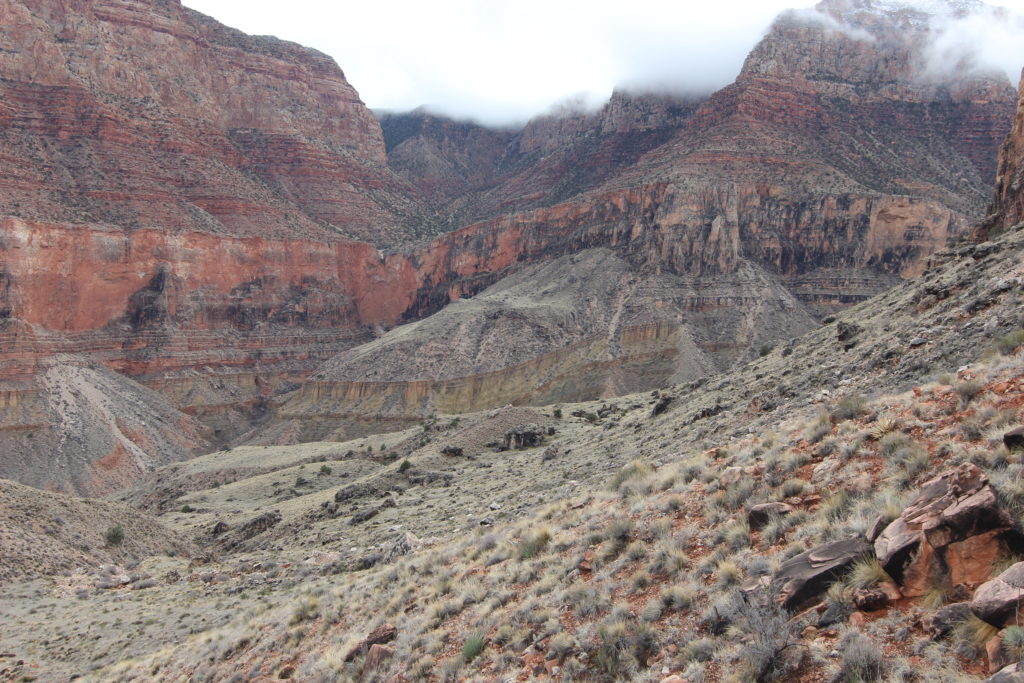
The trail leveled out momentarily, then we descended another limestone cliff.
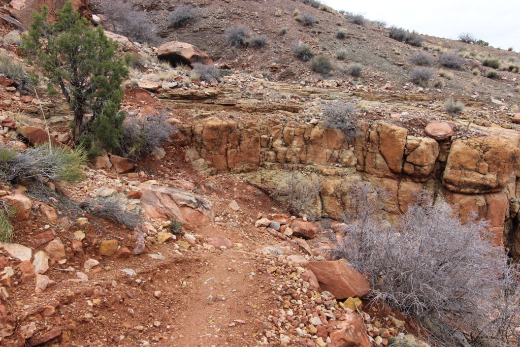
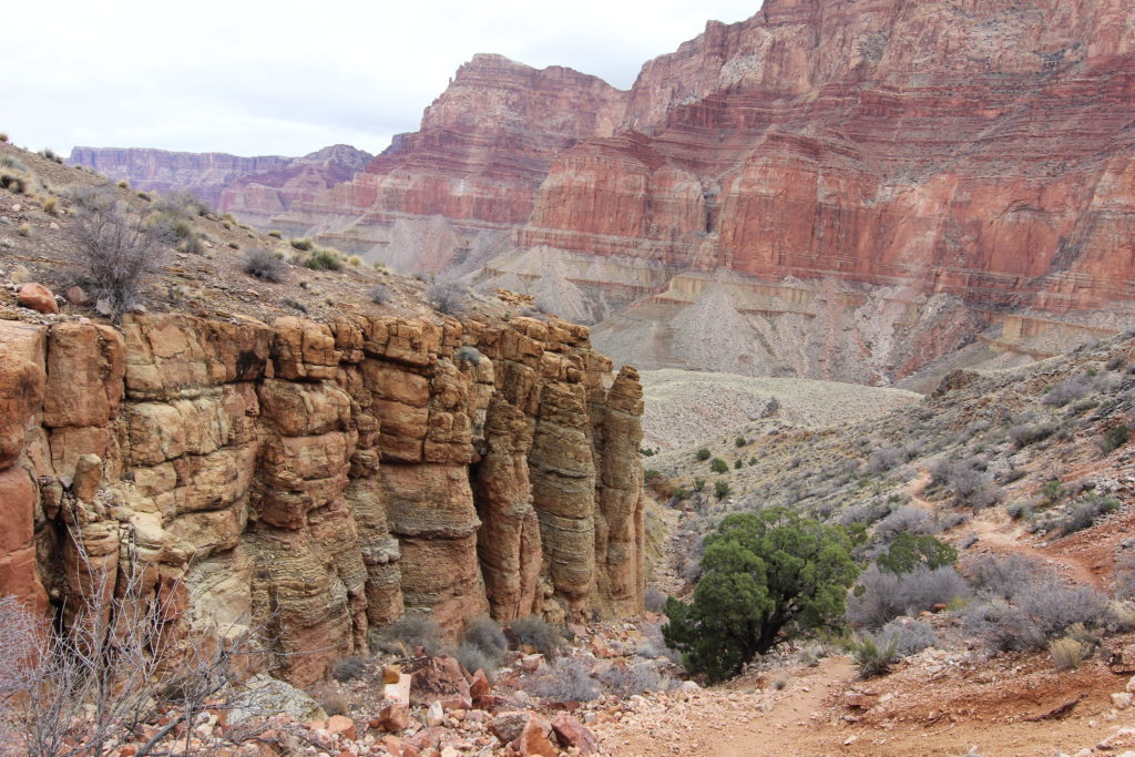
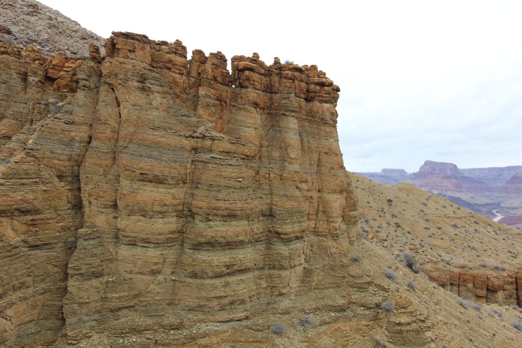
Once below this cliff, the trail hung a hard left and started to head back towards the river.
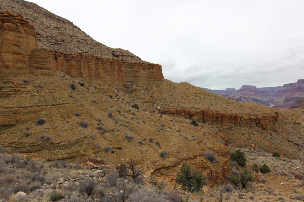
The rock was a bright green, indicating we were hiking on the Bright Angel Shale formation. This is the rock layer that forms the bulk of the Tonto Trail to the west, which I had hiked on an earlier trip in 2016. After the hard rocky descent through the cliffs, walking on the softer shale was unpleasant change.
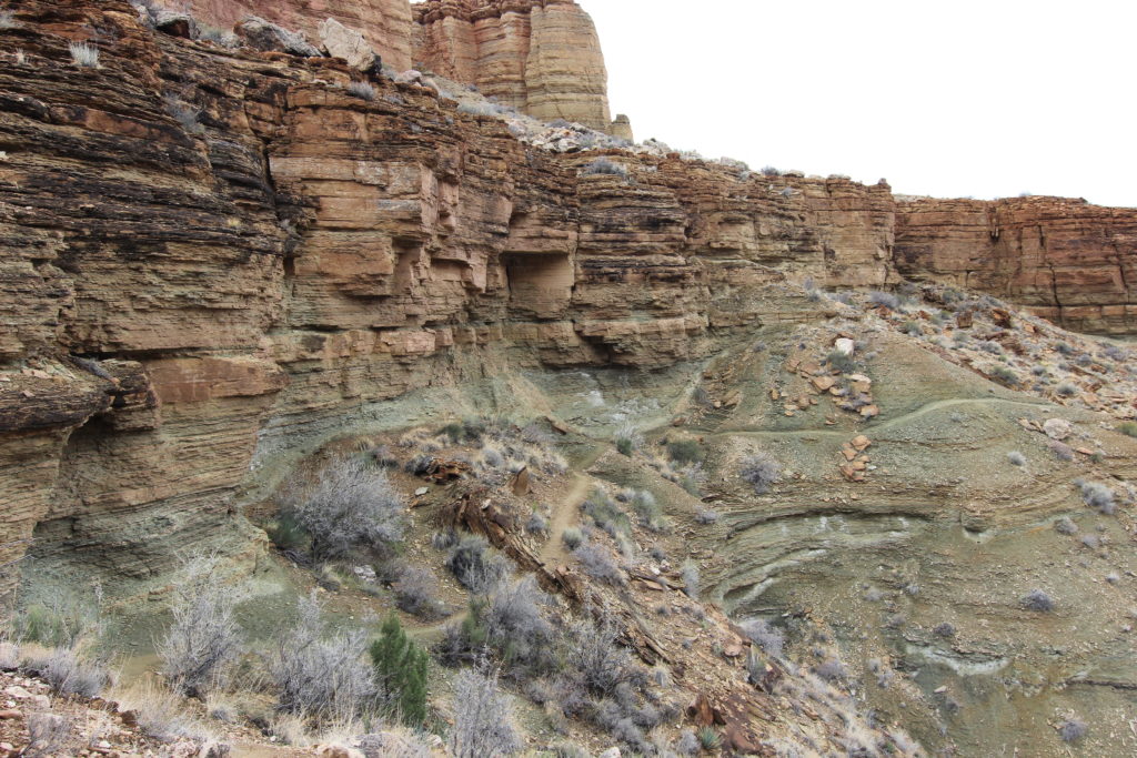
We weaved back and forth over the ridge. Looking straight ahead, we could see a change in the rocks on the north side of the river. The rocks had a distinctive downward tilt to the east.
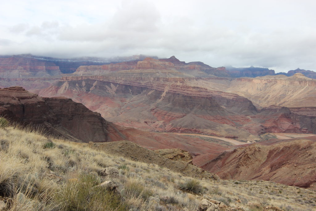
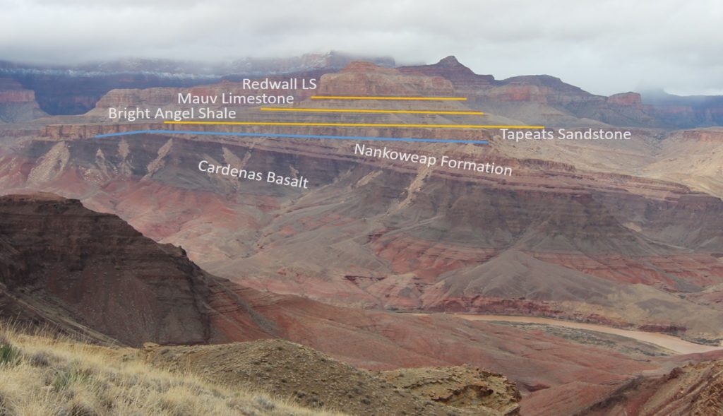
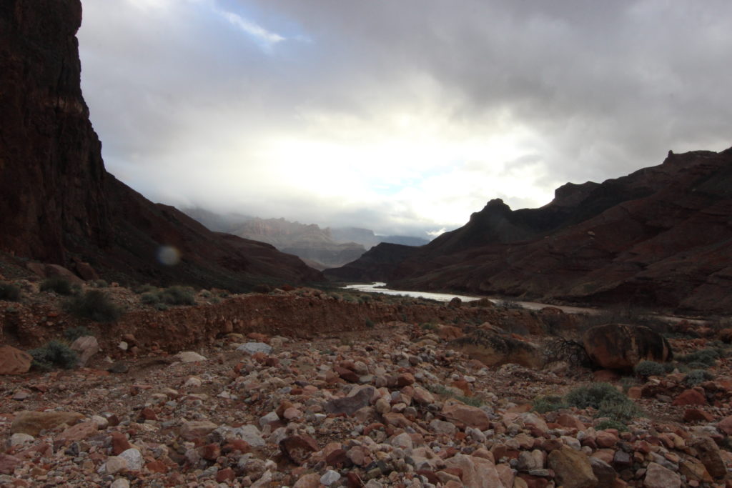
This indicates the transition from the Paleozoic rocks of the upper canyon (age 515 million years to 275 million years) to the Grand Canyon Supergroup, Proterozoic rocks (aged 1,250 million years to 800 million years). The difference in ages represents a gap of 285 million years in the rock record of the Grand Canyon. The rocks of the Supergroup only exist in the Eastern Grand Canyon. The reason why the river valley is so wide where we were travelling is that the rocks of the Supergroup are much softer than the Paleozoic rocks we had been hiking through and have eroded to produce the wide valley.
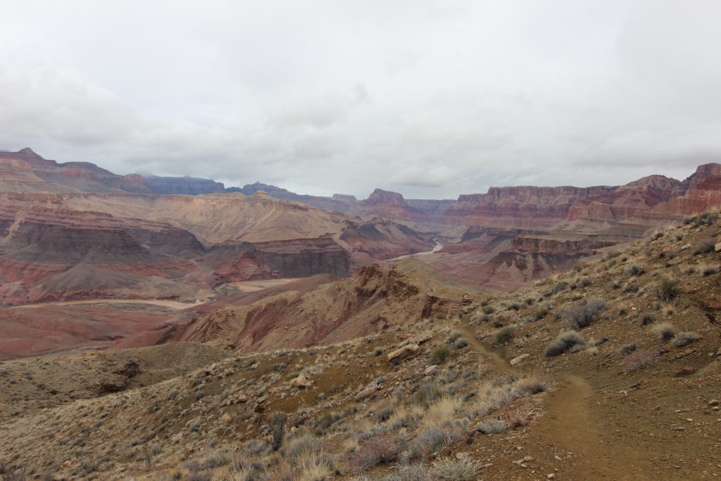
An hour and 20 minutes after leaving the overlook, we stopped to remove another layer: I was now in a t-shirt and the temperature had become very nice for hiking.

It felt like we were close, but it still took another hour to make it to Tanner Rapids. The trail had a nice grade as we moved closer to our destination. For the last section, the trail dropped into the dry Tanner Wash, the outlet of Tanner Canyon. We made our way to the Colorado River; it had taken us 5 hrs and 15 minutes to hike the 14.4km from rim to river.
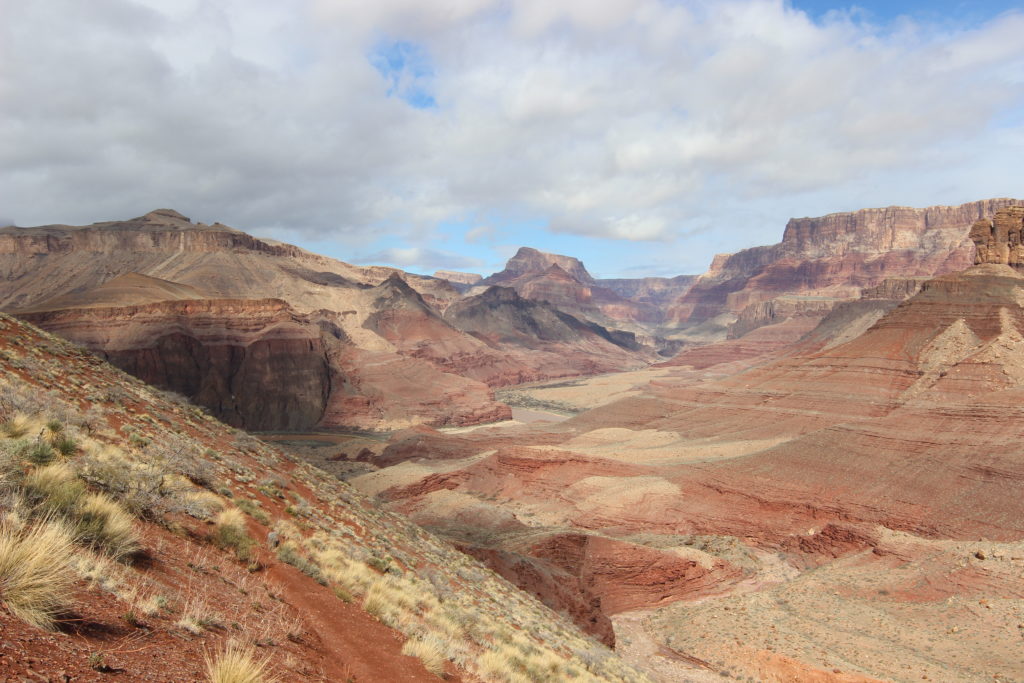
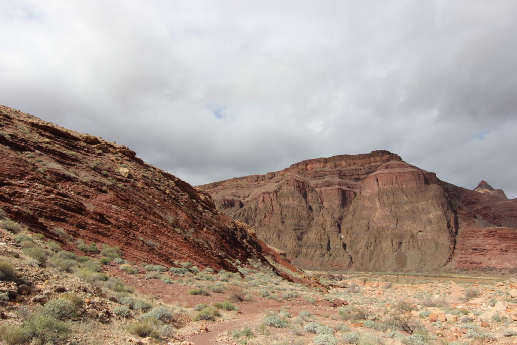
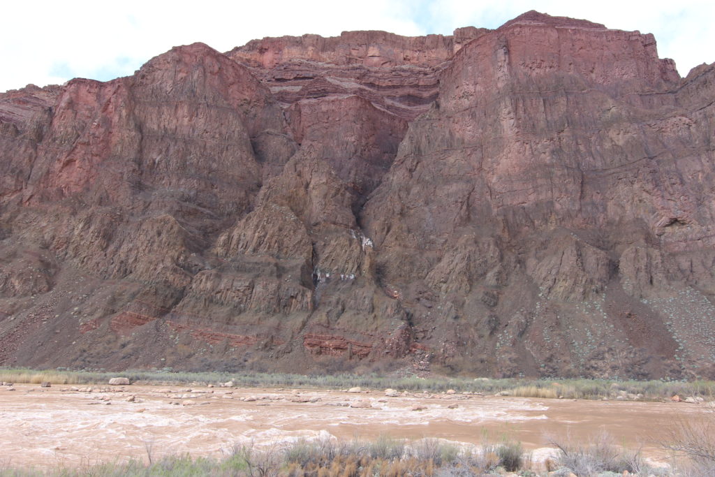
We took a 45-minute break to eat lunch and for Siobhan to sneak in a nap, she is good at those.
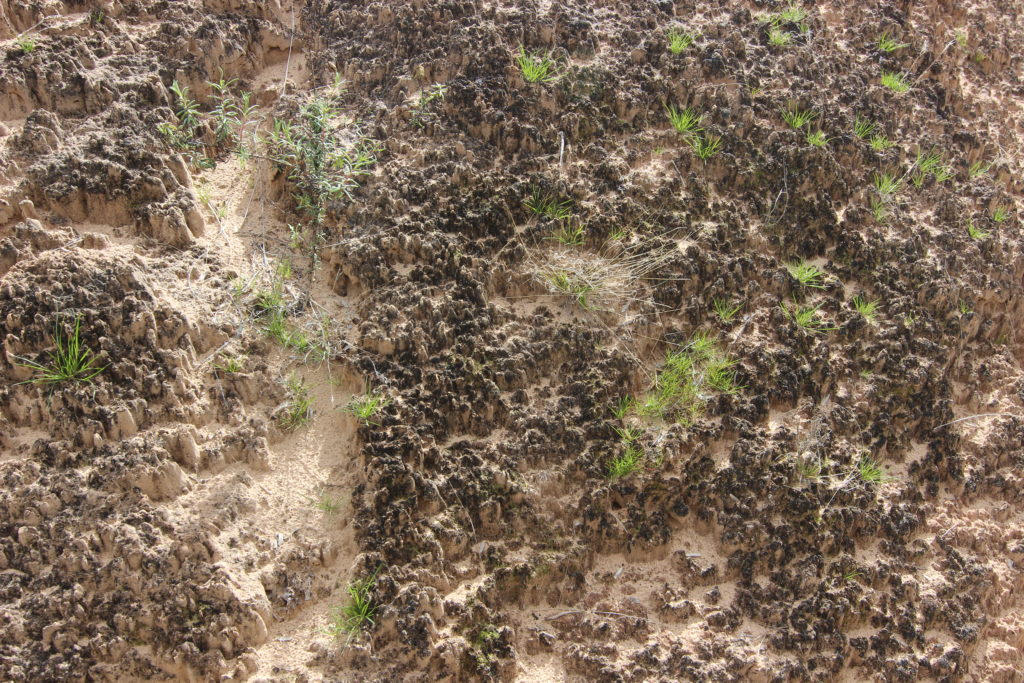
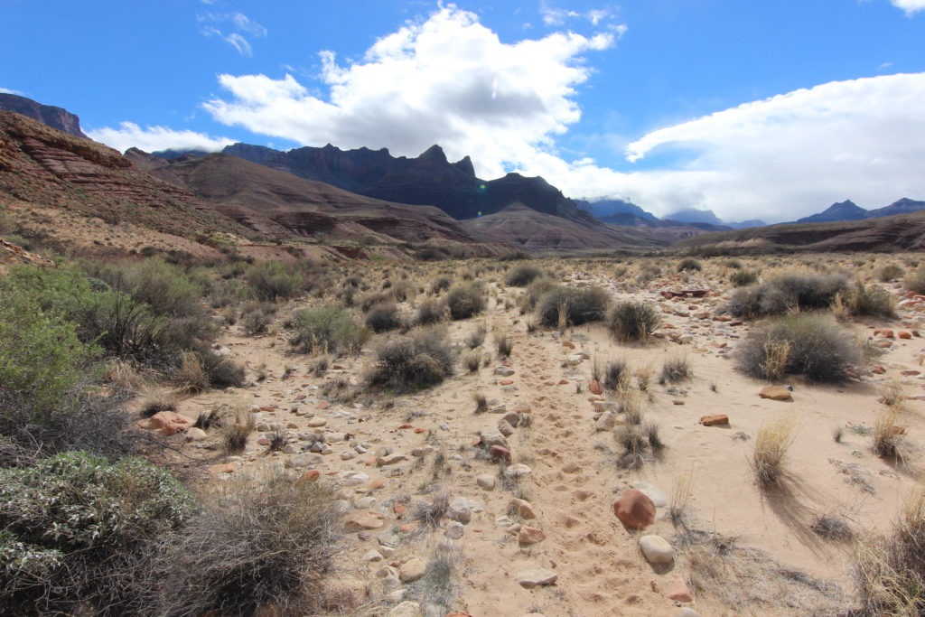
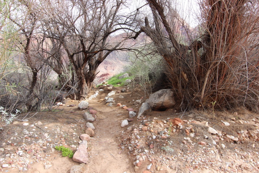
Just as we started on our way, we felt some rain drops, and some menacing clouds appeared overhead. We hid in a little protective alcove created by some trees near the river. The storm quickly blew over. We had a nearly flat 4.7 km to hike to our campsite.
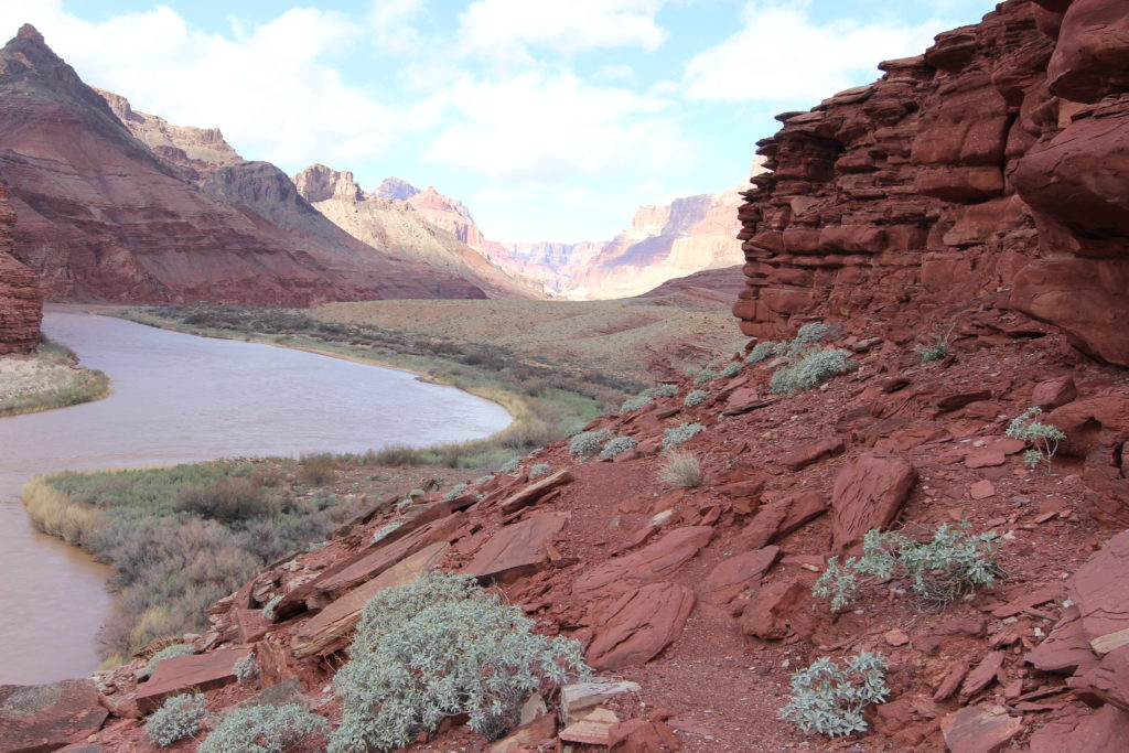
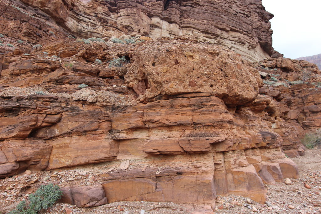
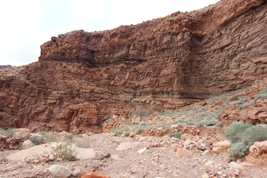
The hike to Palisades Creek after an initial bit of scrambling over some soft cliffs created by Dox Sandstone was very straightforward. The trail stayed close to the river and was very easy to follow. A few small cairns helped mark the way. The clouds had completely disappeared and the sun had come out with blue skies. It took us just 1 hr and 45 minutes to arrive at Palisades Creek. We had left Lipan Point at 9:40 am, and it was now 5:15 pm, for a total travel time of 7 hrs and 35 minutes.
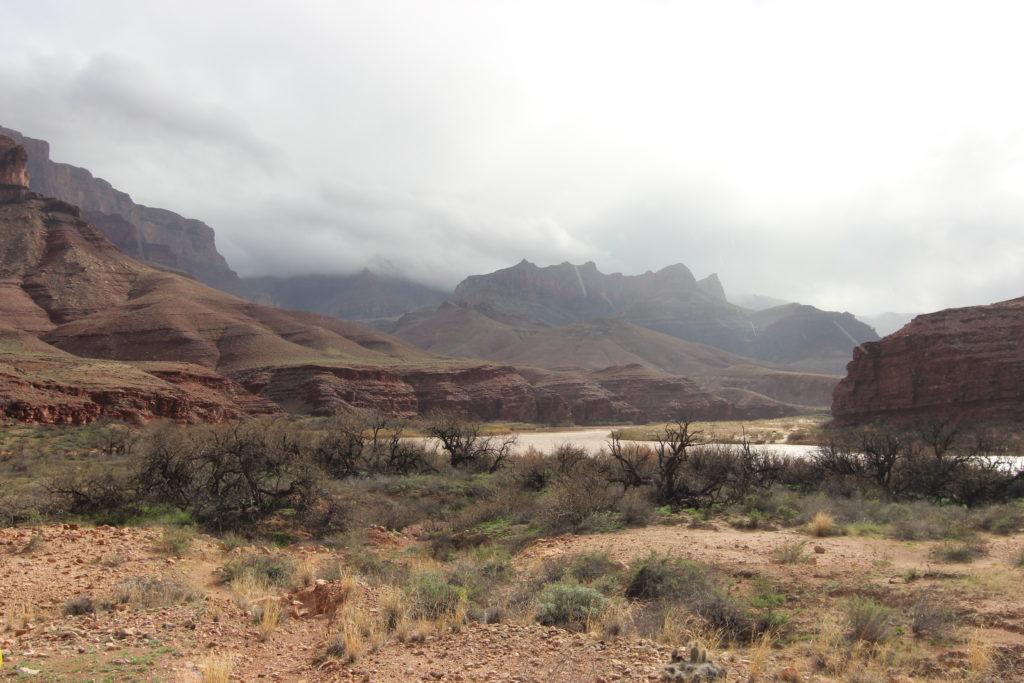
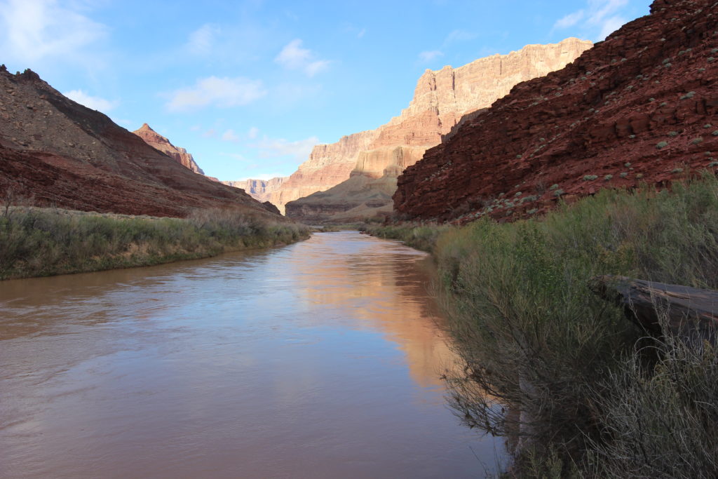
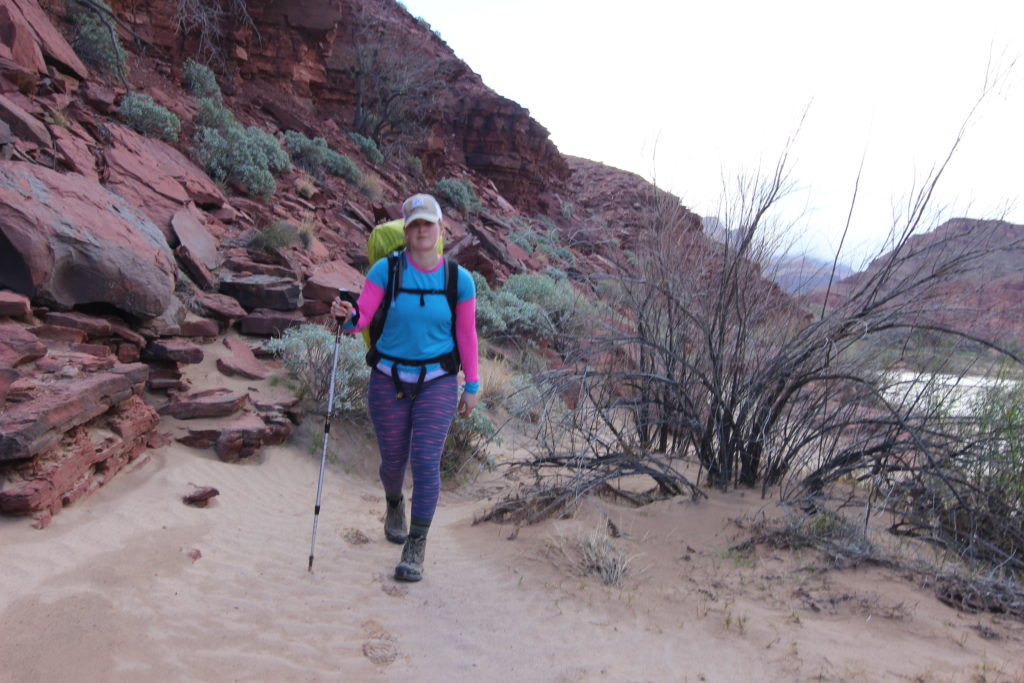
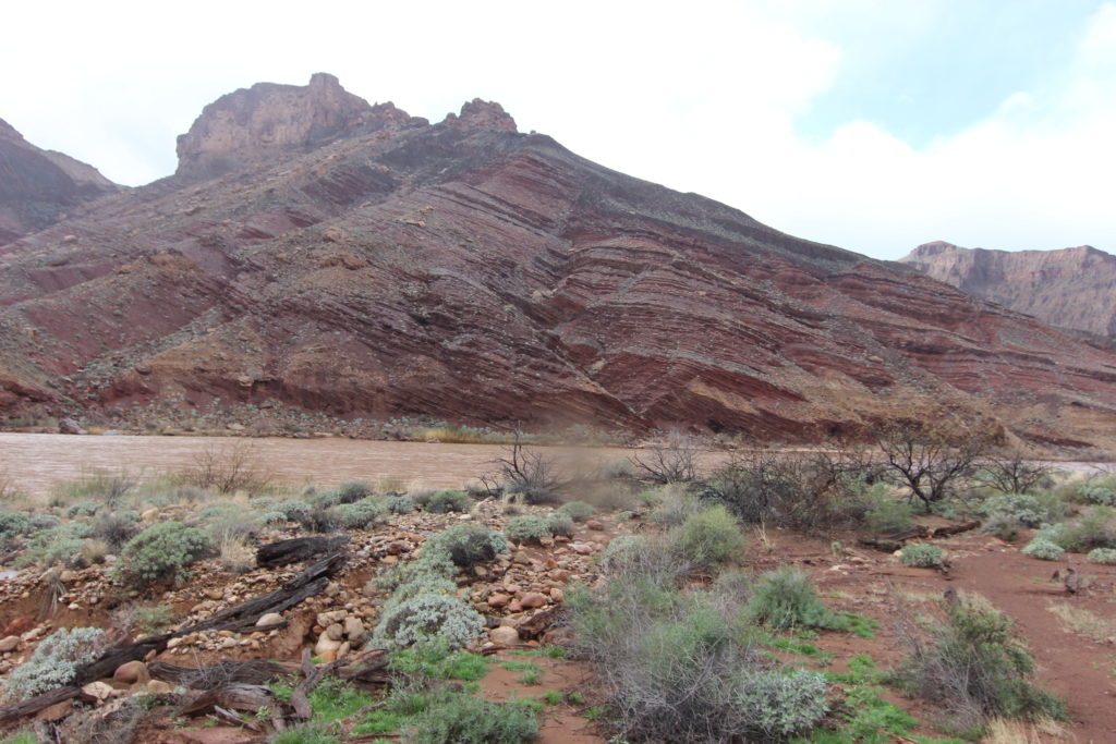
We set up camp and got dinner ready, a delicious meal of rehydrated Mountain House. I collected some water from the river in the bucket, time to see if my plan for getting clean water was going to work. I propped up the bucket and let it sit over night to allow the silt to settle to the bottom.
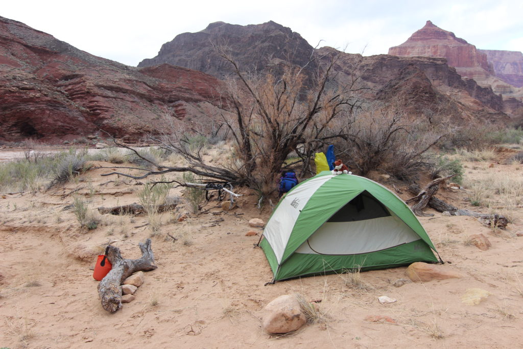
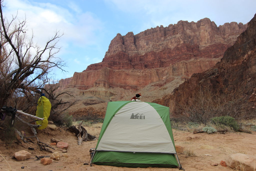
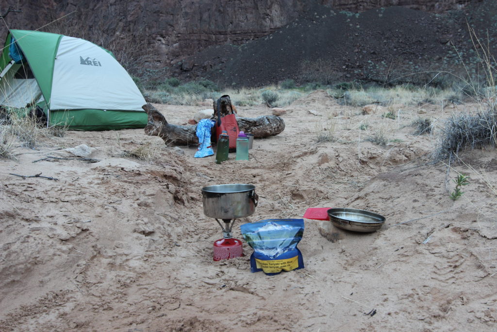
I explored up Palisades Creek, wandering up the canyon. I spotted a group of river rafters camped above the rapids on the north side of the river, so we were not quite alone.
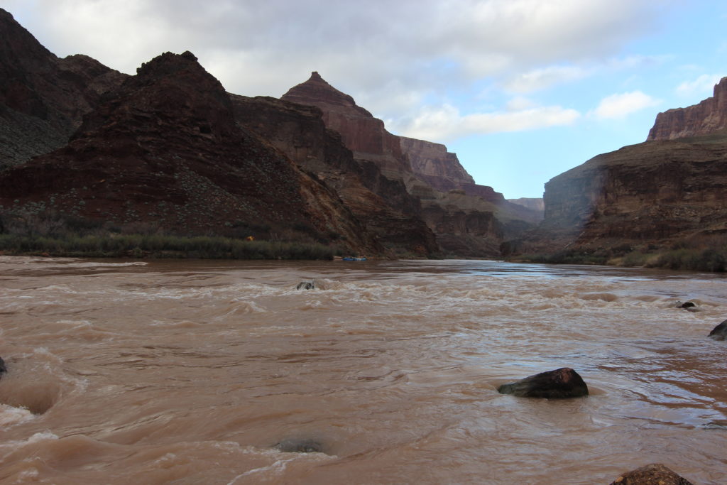
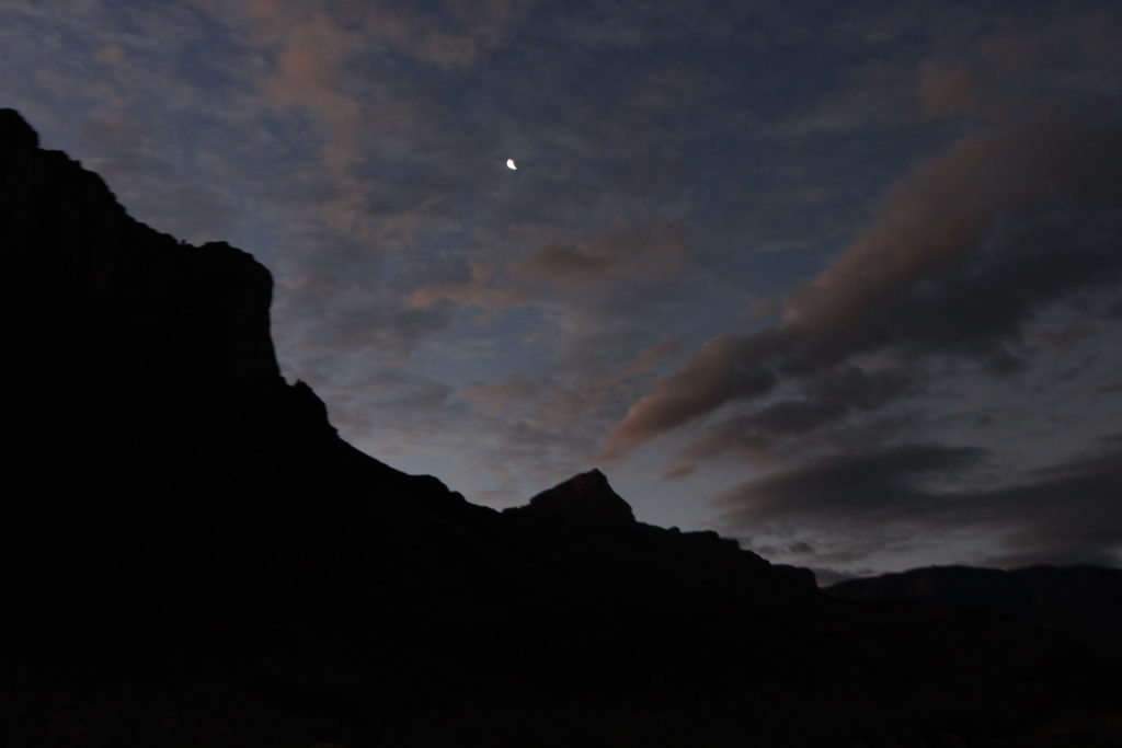
To the west, the clouds were unsettled, but we had a nice sky. A crescent moon came up as the sky grew dark–it was time for bed. Siobhan was very tired and sore from the day and I was having doubts about our ability to succeed with our ambitious plan of getting to the Little Colorado the next day. We were in a beautiful and amazing place, so I felt that we had already made our destination. Time for bed.
