Day 2 Fort Bottom to Cabin Bottom (Tower Park), 16 miles, 7 hours.
I was up and out of the tent before 7:30 am. Overnight the clouds had blown away leaving us with nothing but a deep blue sky to greet us as we got out of the tent.
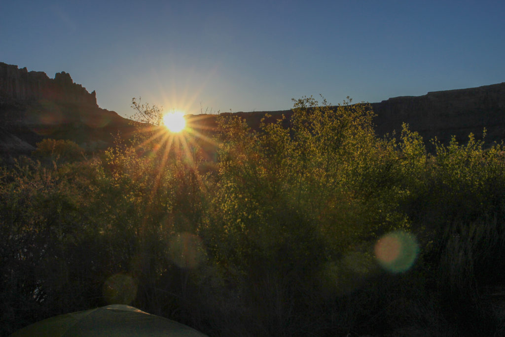
Good morning sun.
Kitchen all set up for a hot breakfast complete with coffee.
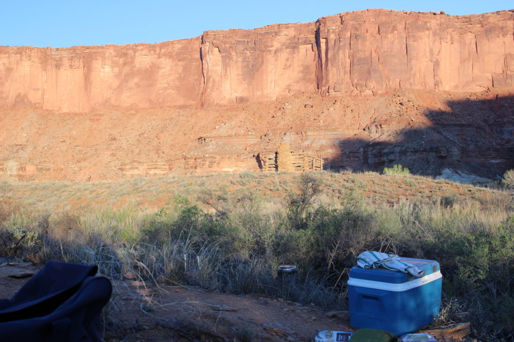
Just how close the Walker House was to our camp.
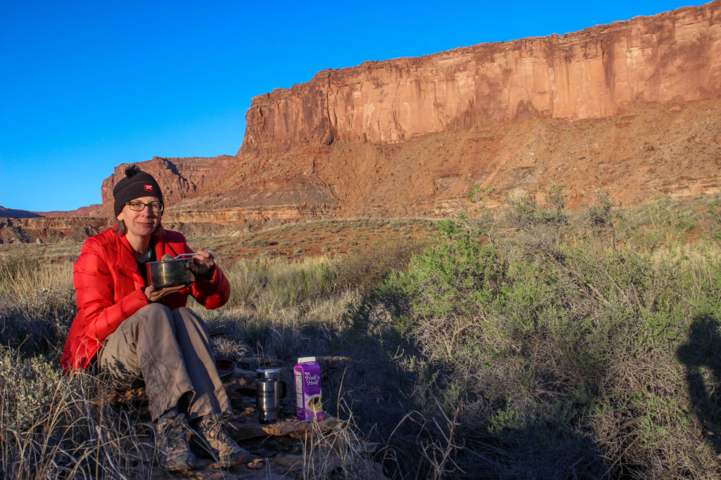
Breakfast time just before 7:45 am. We had real cream for our coffee. Sharing oatmeal from the same pot reduced the dishes.
Doing dishes by 8 am.
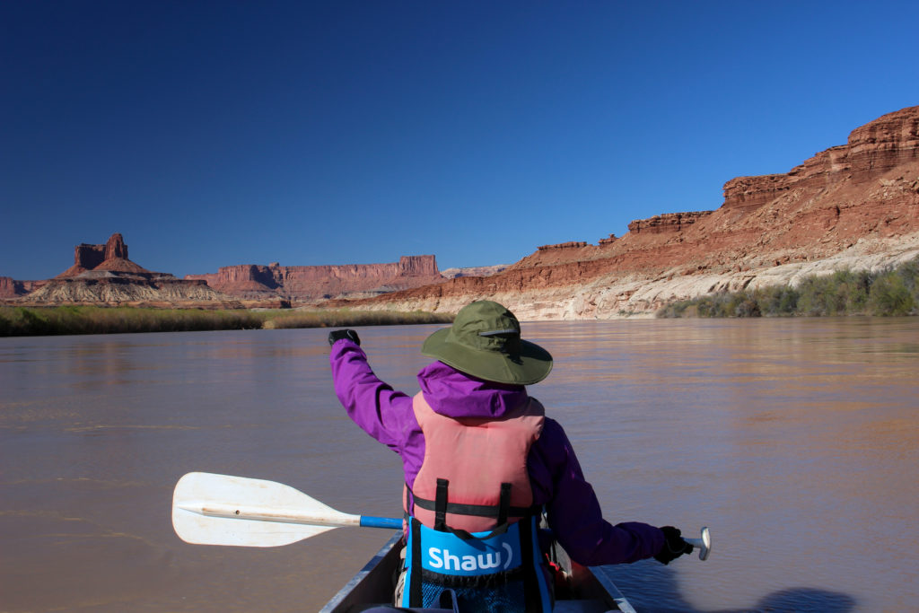
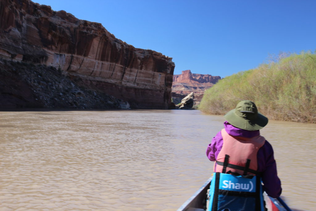
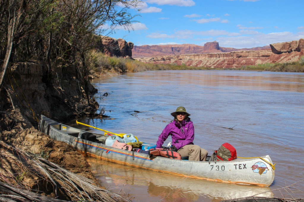
We did not rush to tear down camp. We had a bigger day planned on the river but we had lots of time to paddle and explore. We had the canoe all packed up just before 9 am.
Sunrise through the reeds.
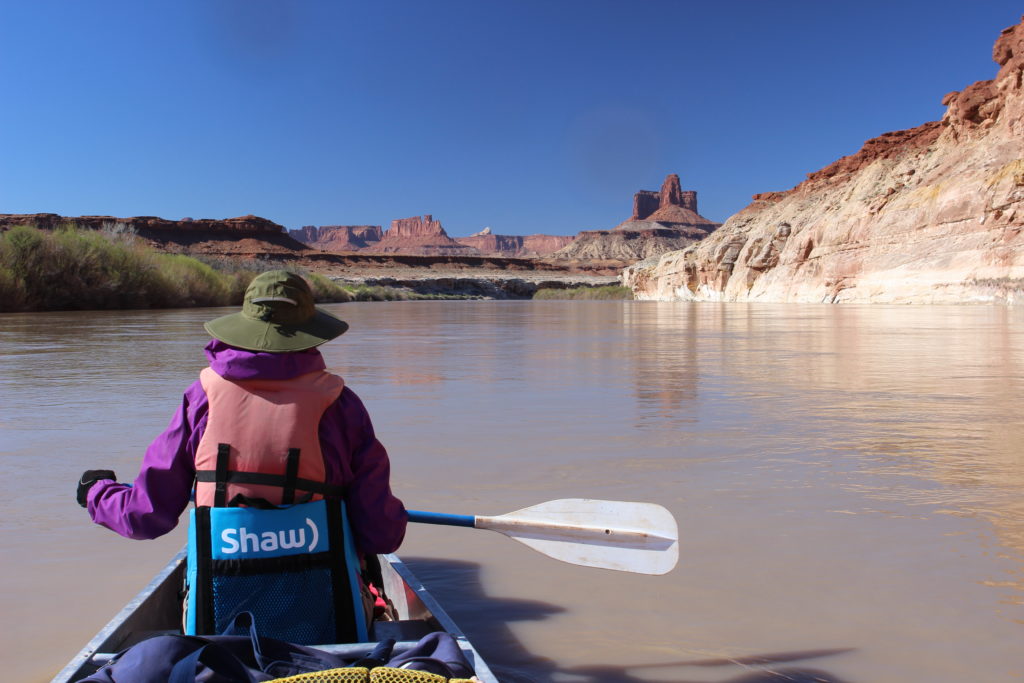
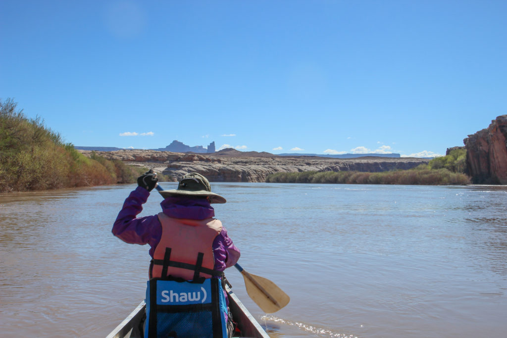
All packed at 9:07 am. Can see my camera bag right in front of me and the river map open on the left.
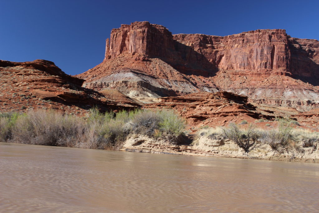
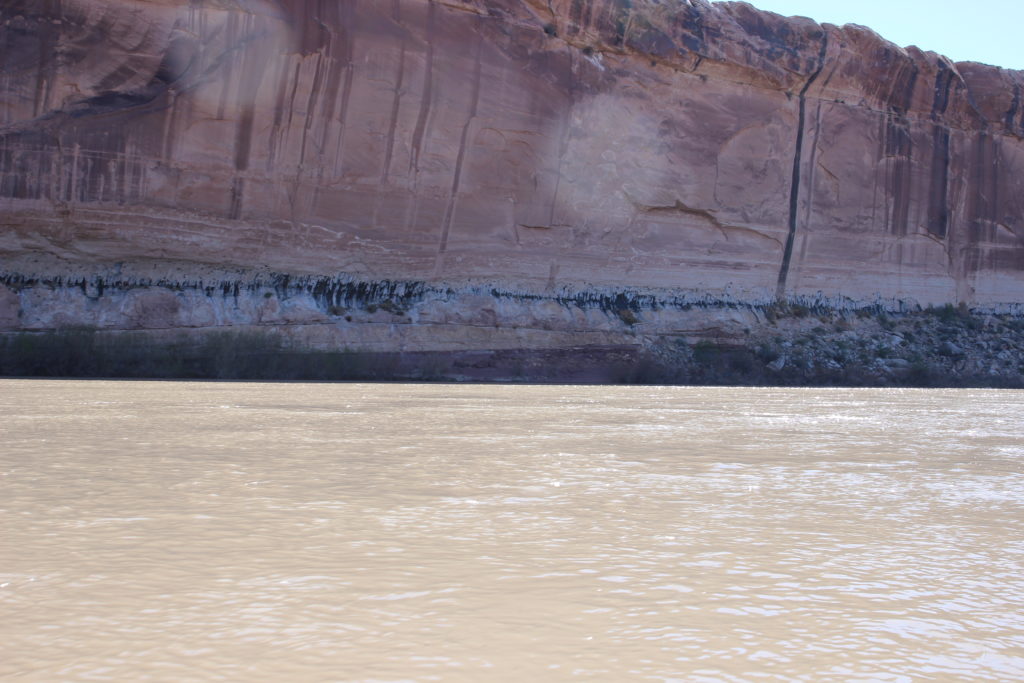
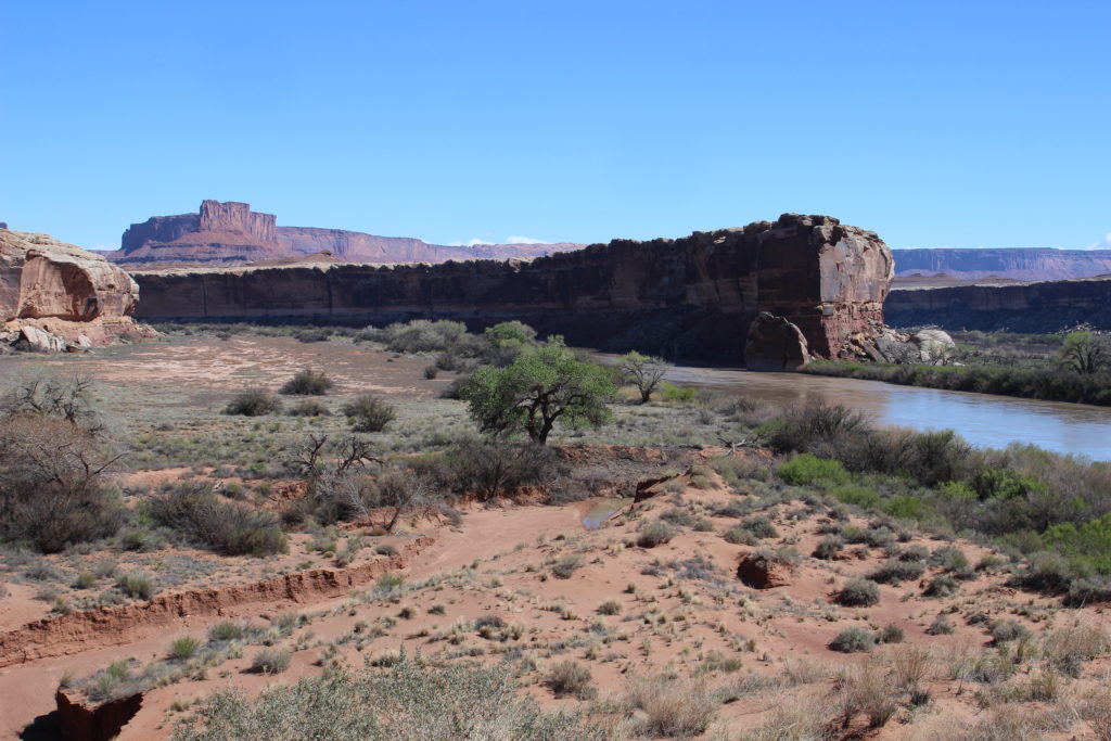
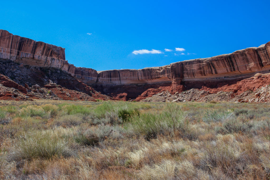
The top of the canyon walls tower 1140 ft above the river.
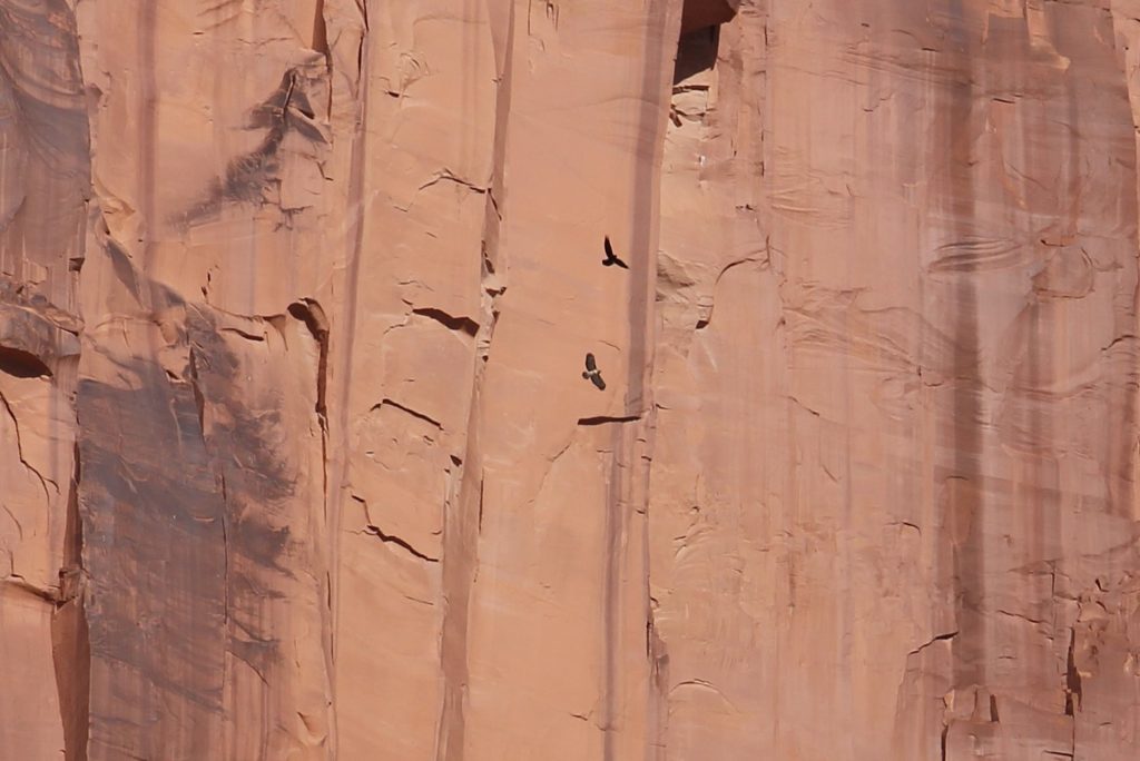
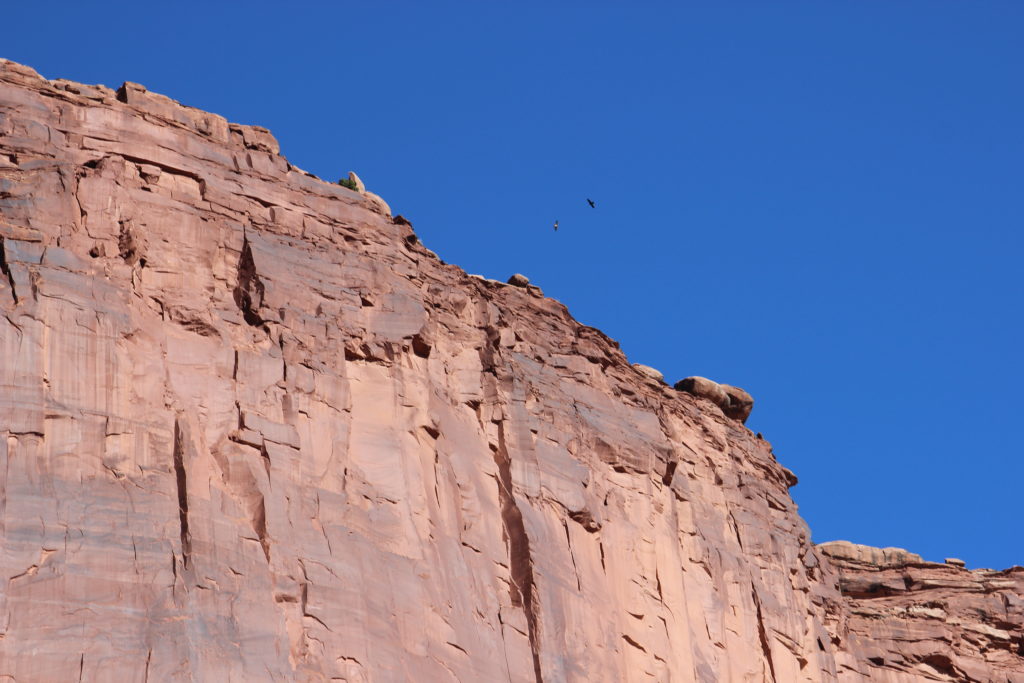
Shortly after leaving camp we watched two birds circle their way up the cliffs riding the thermals. One appeared to be a hawk or raptor the other bird was different but they made no aggressive move towards each other. We spent a good few minutes just watching the birds rise up the cliff until they disappeared over top of the cliff.
Our entertainment.
Watching as they disappear over the top of the cliff.
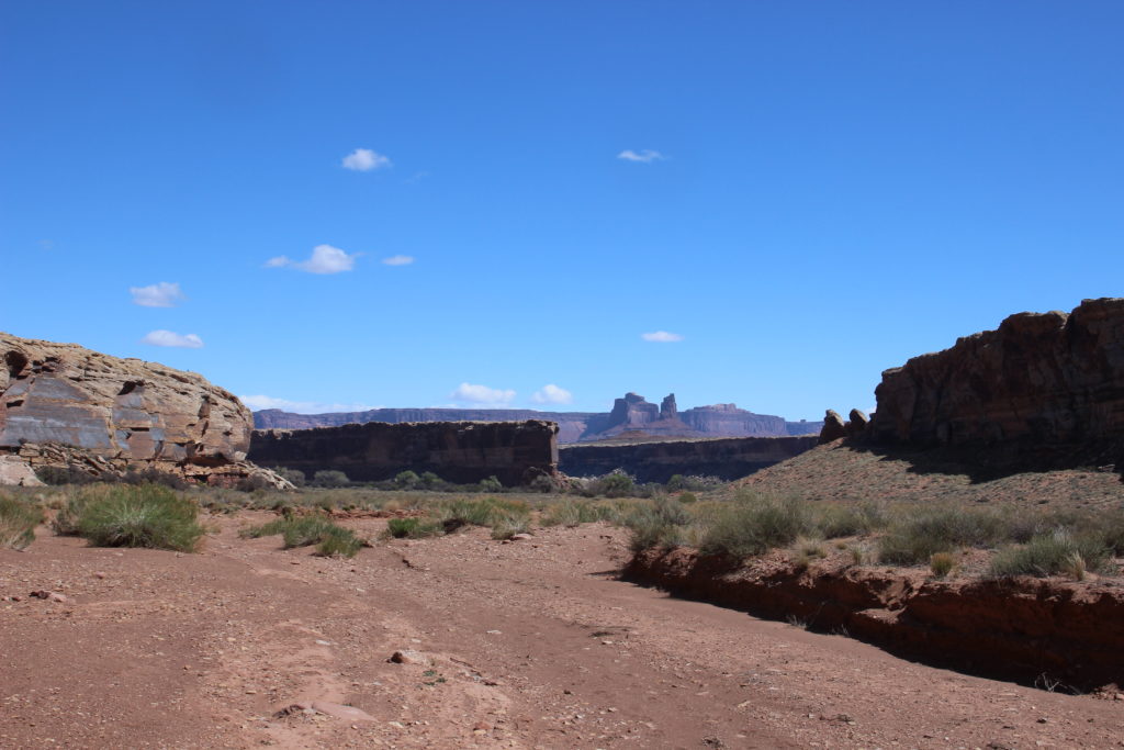
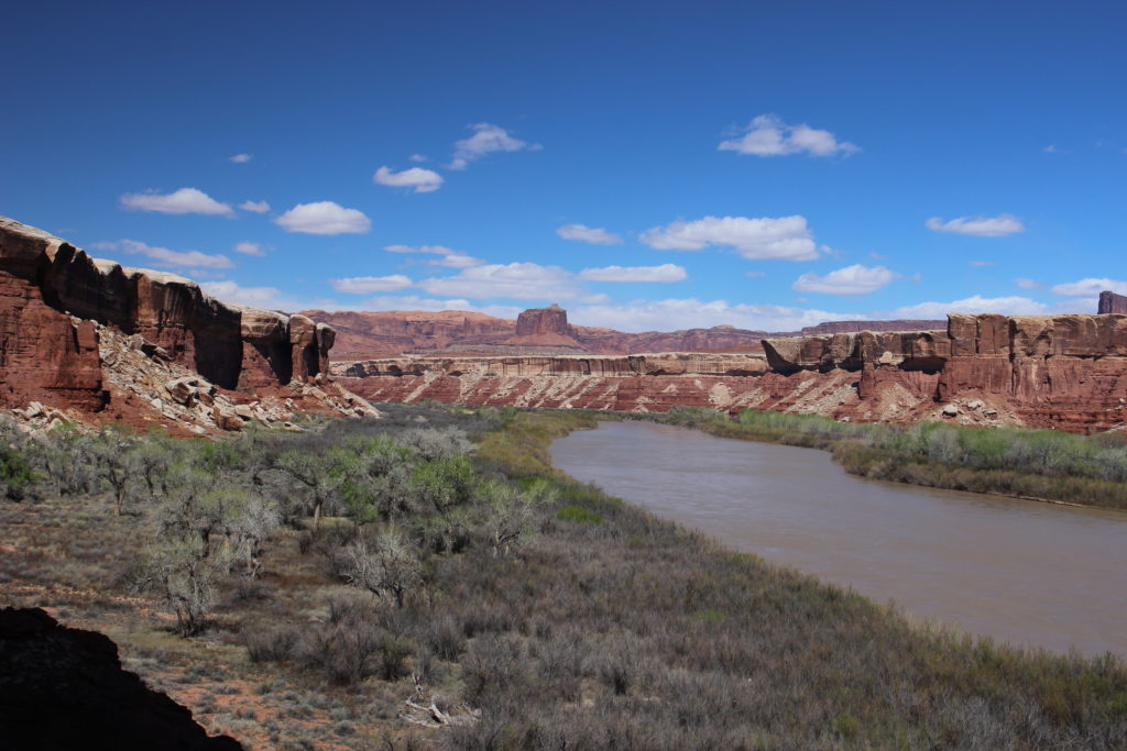
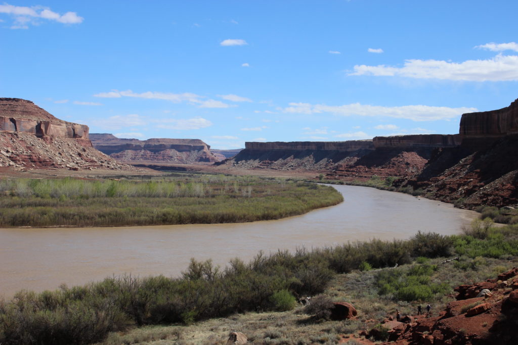
After leaving the bend where our campsite was located at Fort Bottom we traveled a long straight stretch of the river that passed by Potato Bottom. The White Rim Road descends all the way down to the river at Potato Bottom. There are some designated car camping sites at Potato Bottom allowing those driving the road access to the river.
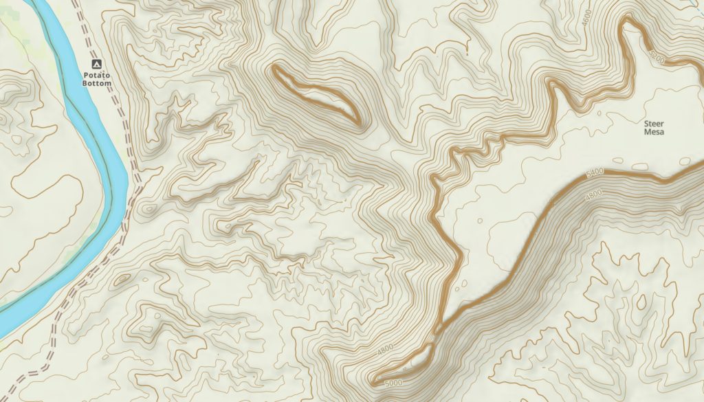
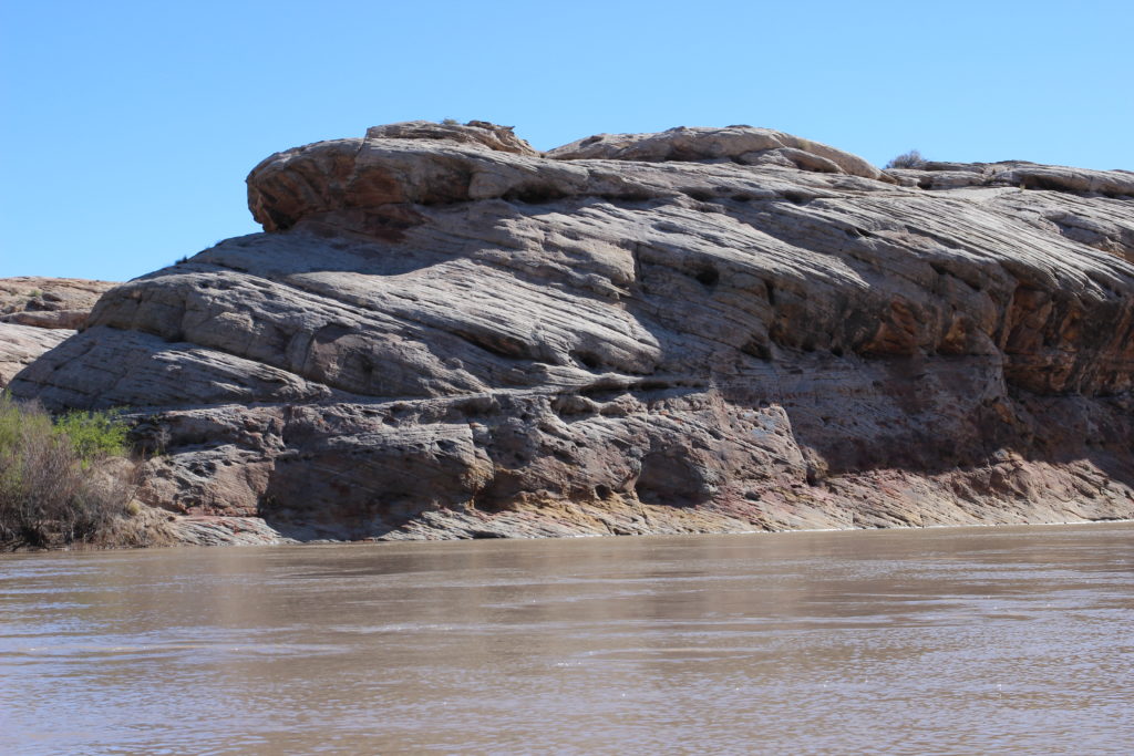
I quite like what appears to be a lone butte. The small butte is actually attached via a small saddle to the much larger Steer Mesa.
Another picture of the butte and Steer Mesa. There is a dip in the rocks forming a saddle between the butte and the much larger mesa it was once a part of.
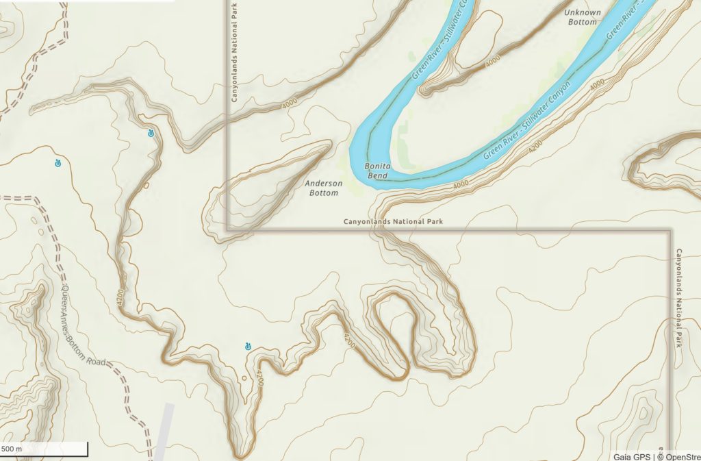
Topographical map showing the small butte and Steer Mesa and the saddle joining the two features.
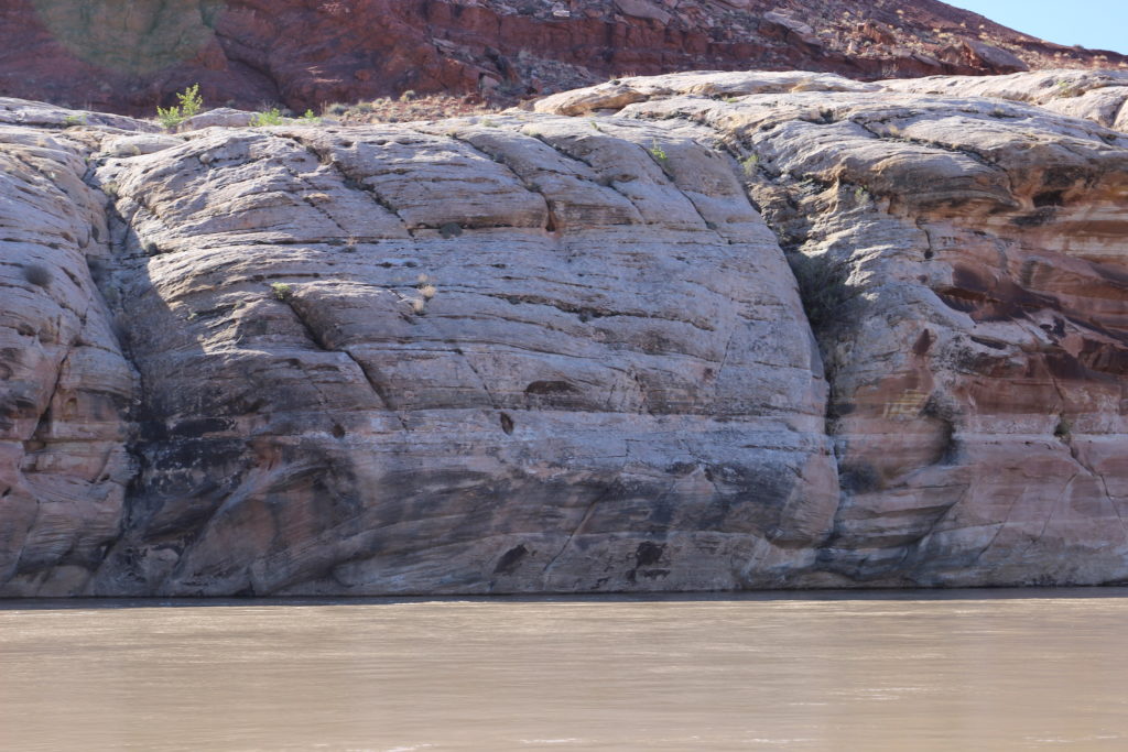
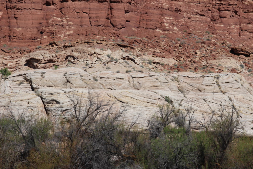
At 10 am, nearing the end of Potato Bottom, the White Rim Sandstone first appears at river level.
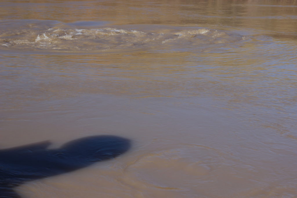
Some turbulent water caused by debris just below the surface.
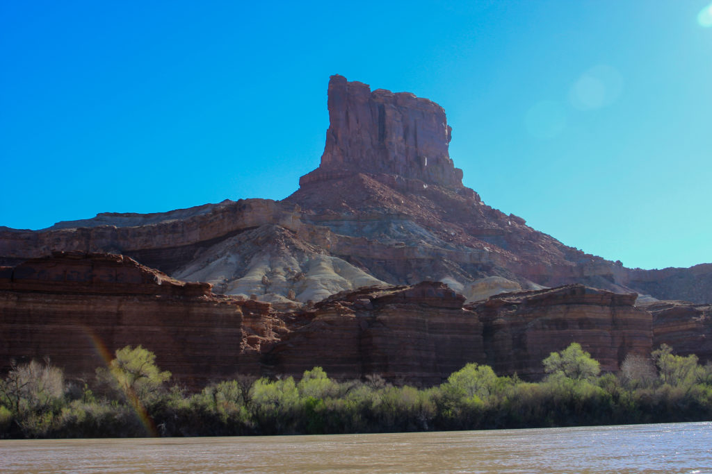
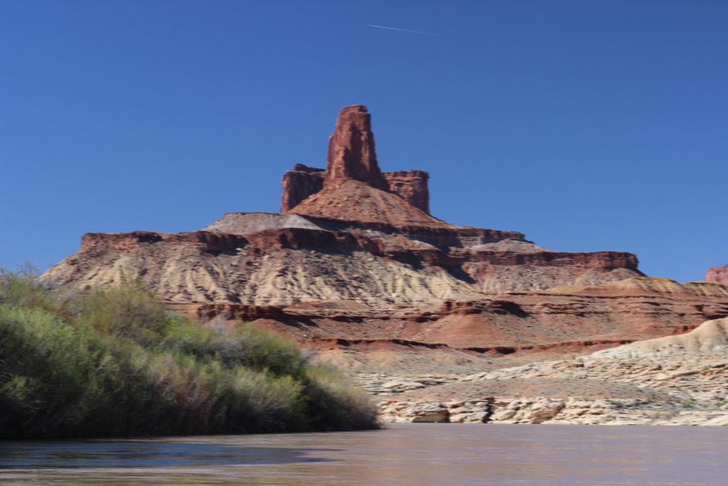
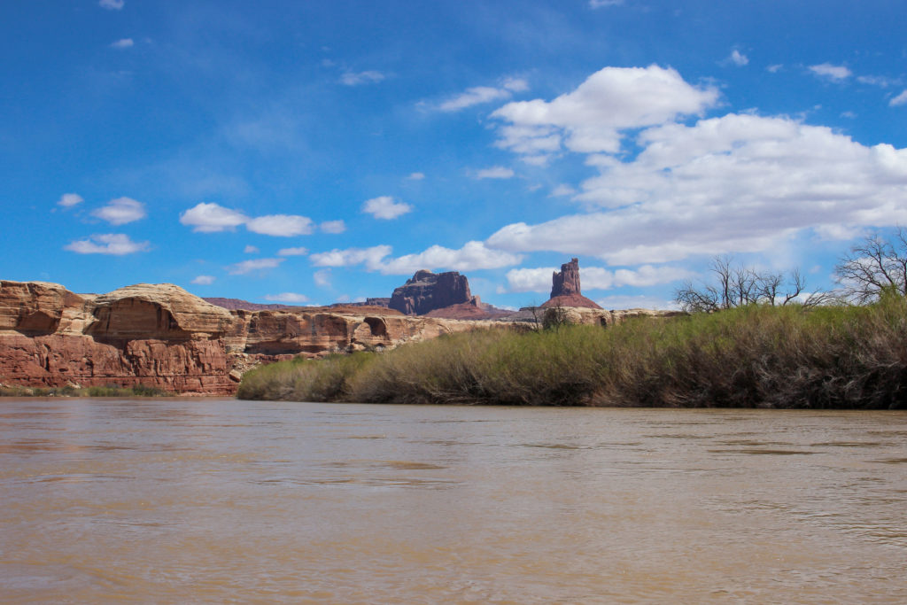
Laura pointing at the Buttes of the Cross named by John W Powell during his first trip down the Colorado River in July 1869. The feature is actually two buttes that appear to form a cross.
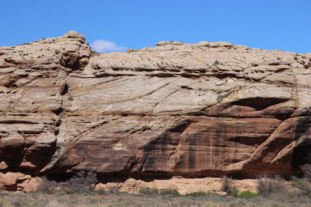
Cross-bedding on the White Rim Sandstone provides evidence of the sand dunes and their migration that created the features.
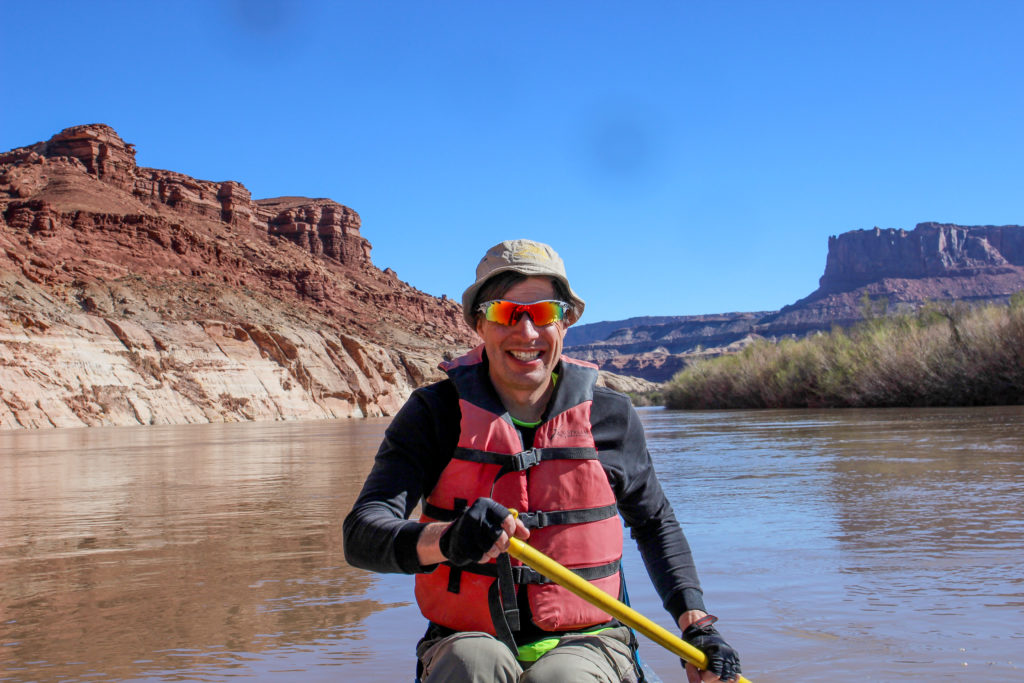
Hey, it’s me. Steer Mesa in the background.
Note the somewhat choppy water. We are passing by Millard Canyon a long and narrow drainage that creates some very large floods. The choppy water is caused by flood debris deposited in the river. Motorized boats have to be careful passing by Millard Canyon in times of low water to avoid damage to the props. We had no issues floating by in our canoe.
Buttes of the Cross.
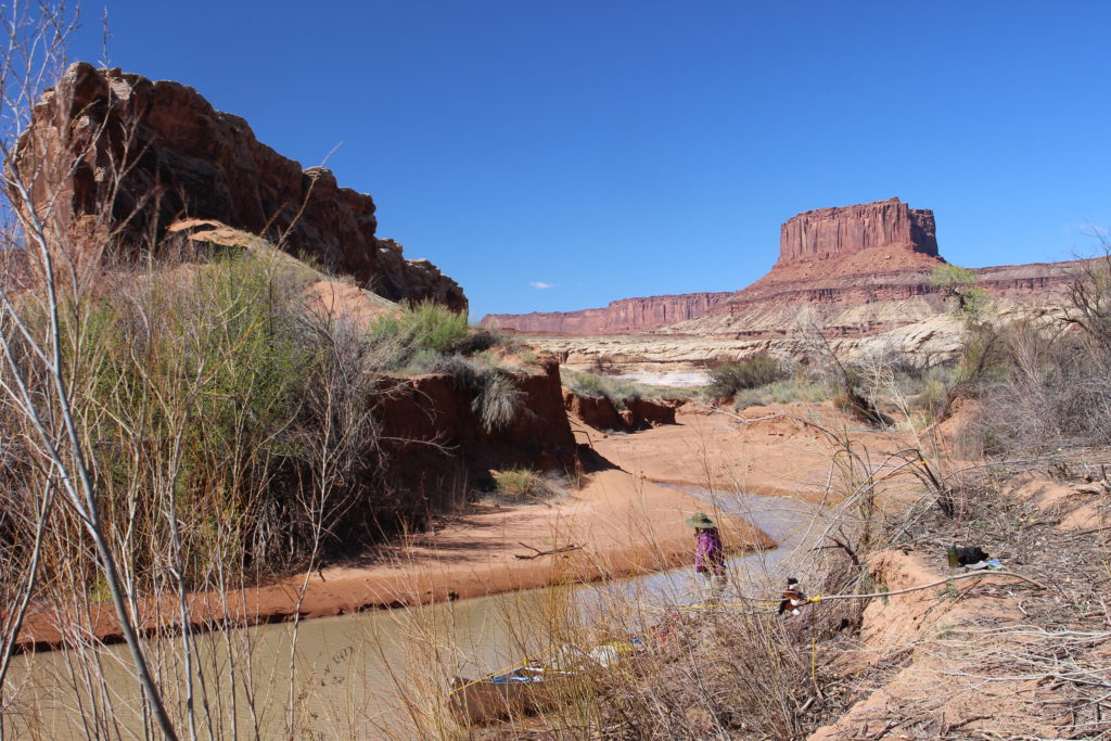
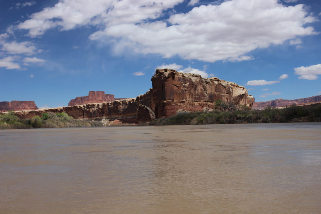
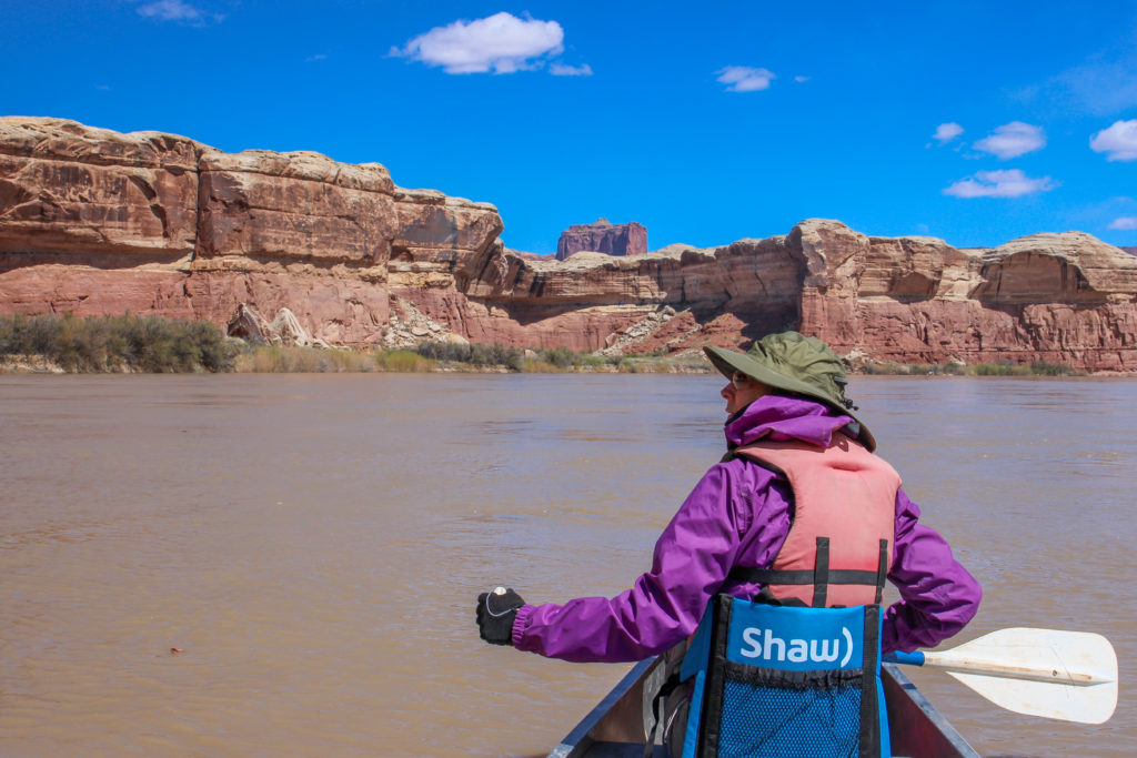
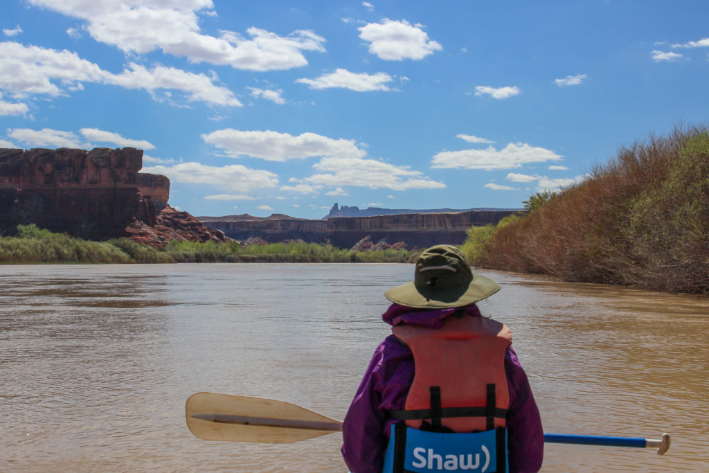
Laura paddling past Queen Anne Bottom on her left. The feature just left of centre in the distance is Candlestick Tower.
I love the story behind Queen Anne Bottom. The area was was named in the 1920’s. Many people were trying to make a living in the bottom of the river. So a women named Anne had a boat that she had named the Queen Anne and had set up her camp in what is now know as Queen Anne Bottom. Her plan was to run the boat up and down the river bringing supplies to the homesteaders. Apparently the boat was too large and was unable to run in times of low water and Anne gave up her homestead after just a couple of years.
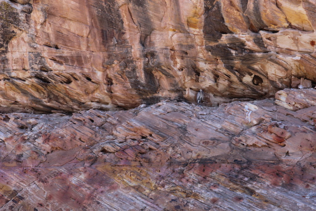
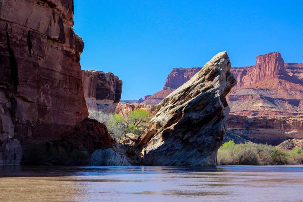
Some fun geology in the sandstone.
Look closely at the uncomformity and I believe it is a Blue Heron.
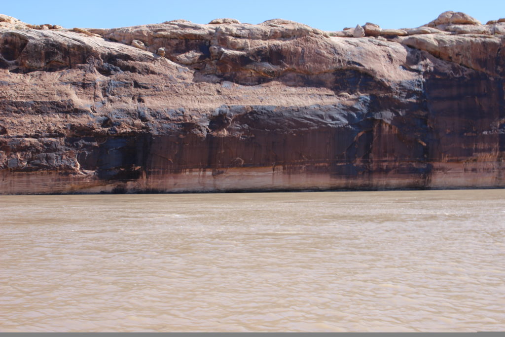
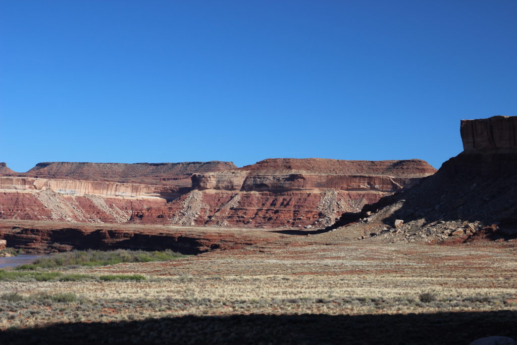
Sandstone is resistant to erosion and forms cliffs. As we approached Anderson Bottom a new rock type emerged from the river that formed a rubbly slope at the base of the White Rim Sandstone. This new rock is made out of shale which erodes easily and is called Organ Rock Shale. Took me a while to remember why I took these photos.
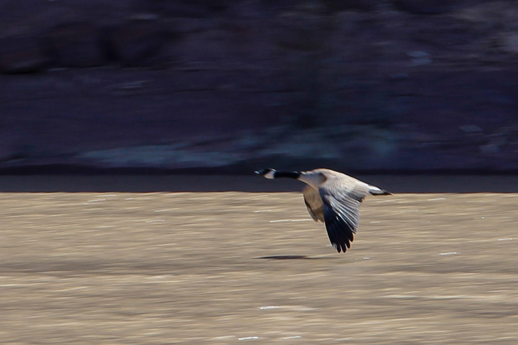
Canada Goose in flight.
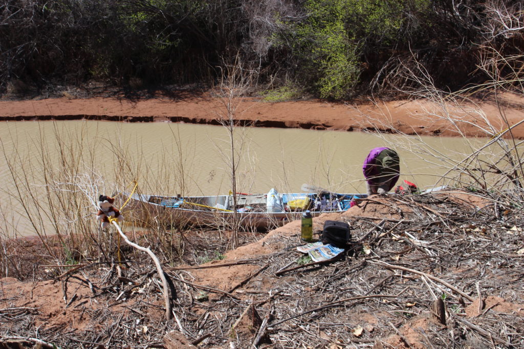
Approaching Anderson Bottom and our first stop of the day.
Large boulder partially submerged. Behind the boulder on a small rock are some signatures of early boaters carved into the rock.
Arrival at Anderson Bottom.
We arrived at Anderson Bottom and had the canoe all secured at 11:30 am. We had traveled none stop since leaving our camp at Fort Bottom a distance of 10 miles in 2.5 hours.
Laura surveying the area while Frosty hangs about.
View back out to the river.
There were several places of interest at Anderson Bottom. There are ruins of an old dance hall (we never found it), a cave used by the NPS for storage, a gated trail to the top and a fun little slot canyon. Including lunch we spent 2 hours exploring the area. Had we tried to hike to the rim or explore the slot canyon some more we easily could have spent another couple of hours at Anderson Bottom.
Anderson Bottom is an abandoned meander or rincon. The river used to flow around Anderson bottom until erosion broke through the land separating adjacent sections of the river causing the river to intersect with itself and shorten, abandoning the longer route known as a meander.
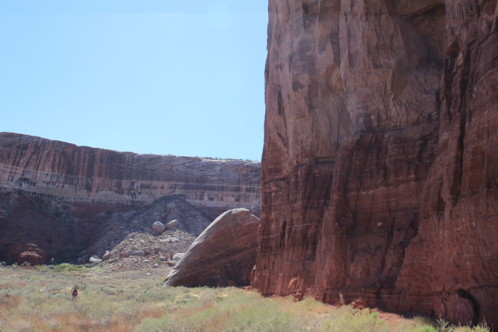
Elevated view to the east of Anderson Bottom. The feature in the distance at upper left is Steer Mesa. The cliffs in the distance on the right has the overlook at Willow Flats.
Looking at the Buttes of the Cross from the side. Not so cross like.
Cross-bedded sandstone of the White Rim Sandstone.
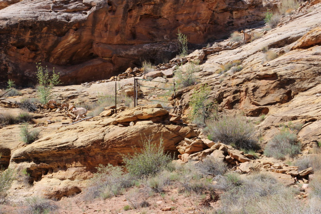
A gate leading up to some pasture land on the rim built in 1957 shortly before the NPS ran the farmer out of Anderson Bottom.
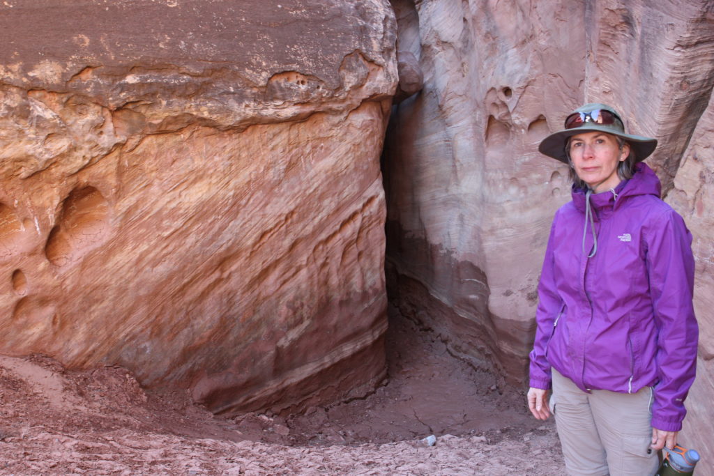
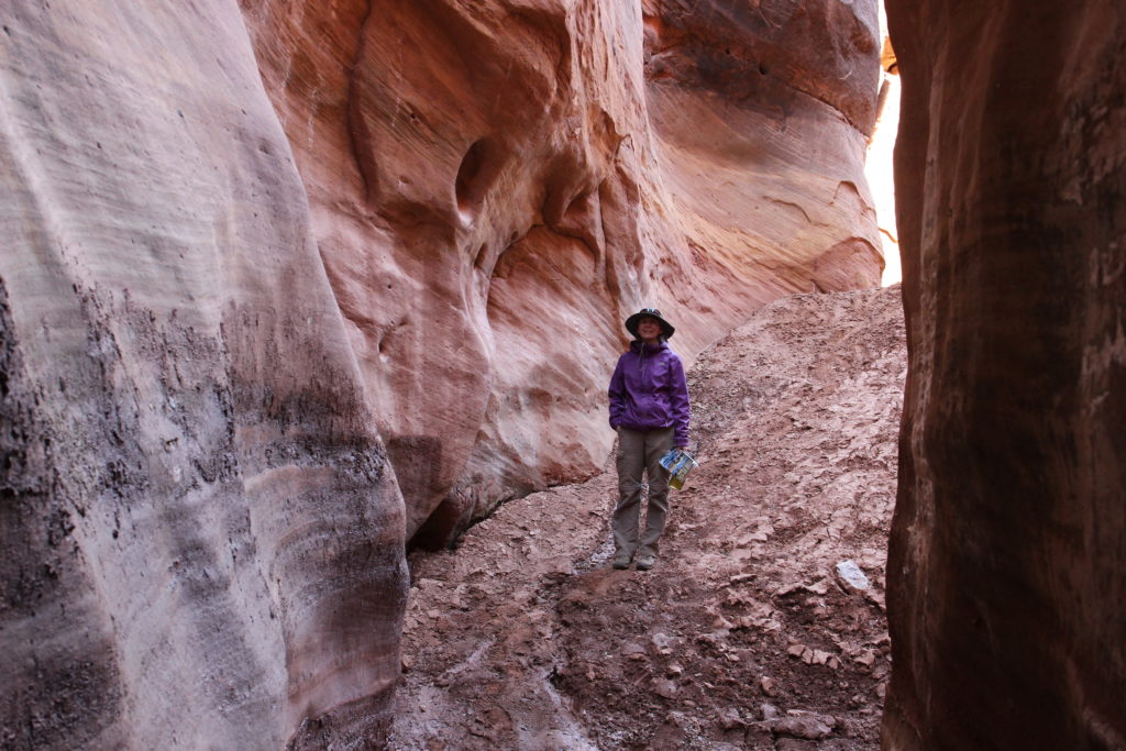
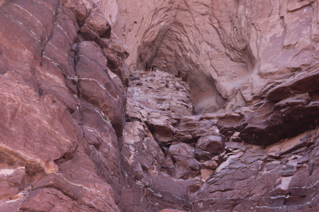
Laura not excited about exploring the slot canyon.
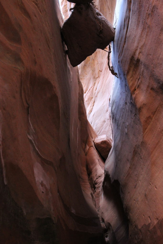
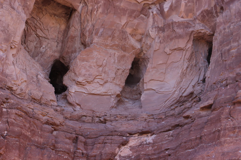
Looking up.
The smooth walls caused by flowing water.
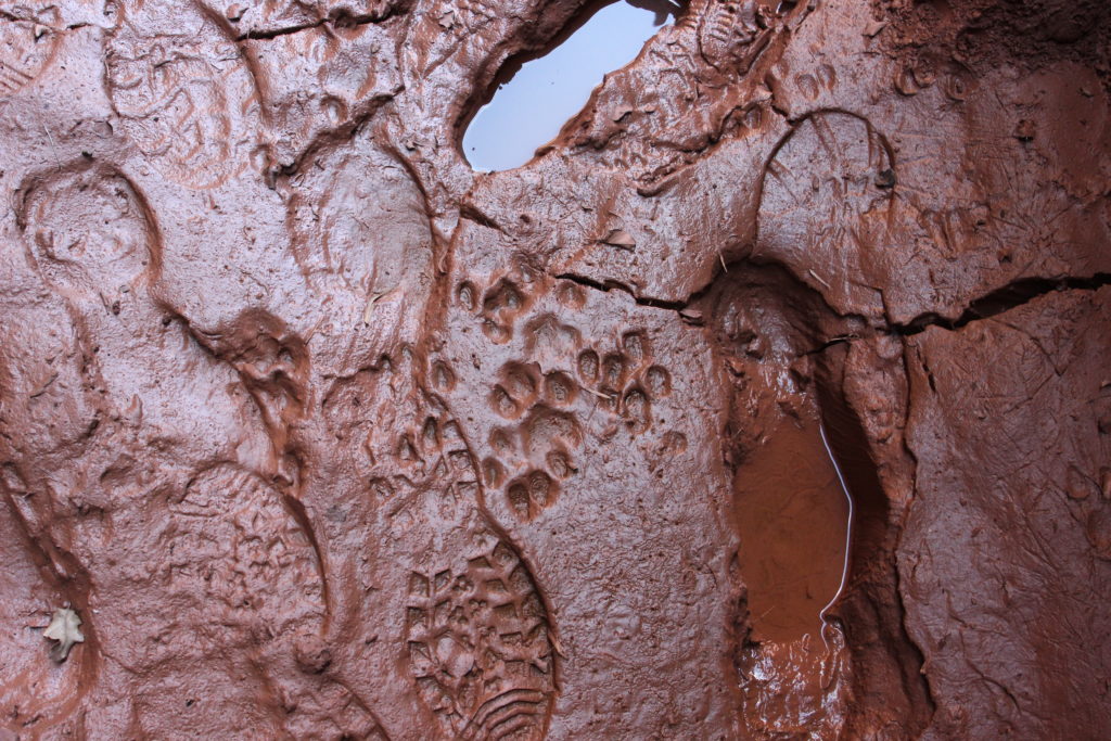
Paw prints, mostly likely coyotes.
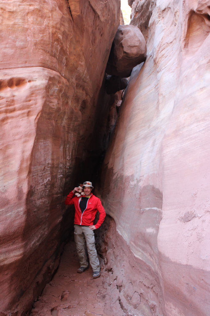
Frosty and me in the slot canyon.
Concretions in the mud stone. You can see how the mud flowed after deposition and prior to lithification.
A long view to Candlestick Tower.
Getting ready to leave Anderson Bottom.
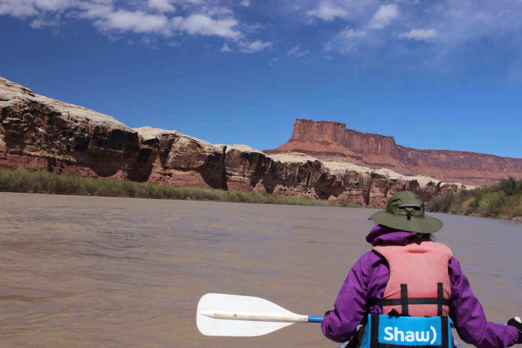
Back on the river, have to head around Bonita Bend.
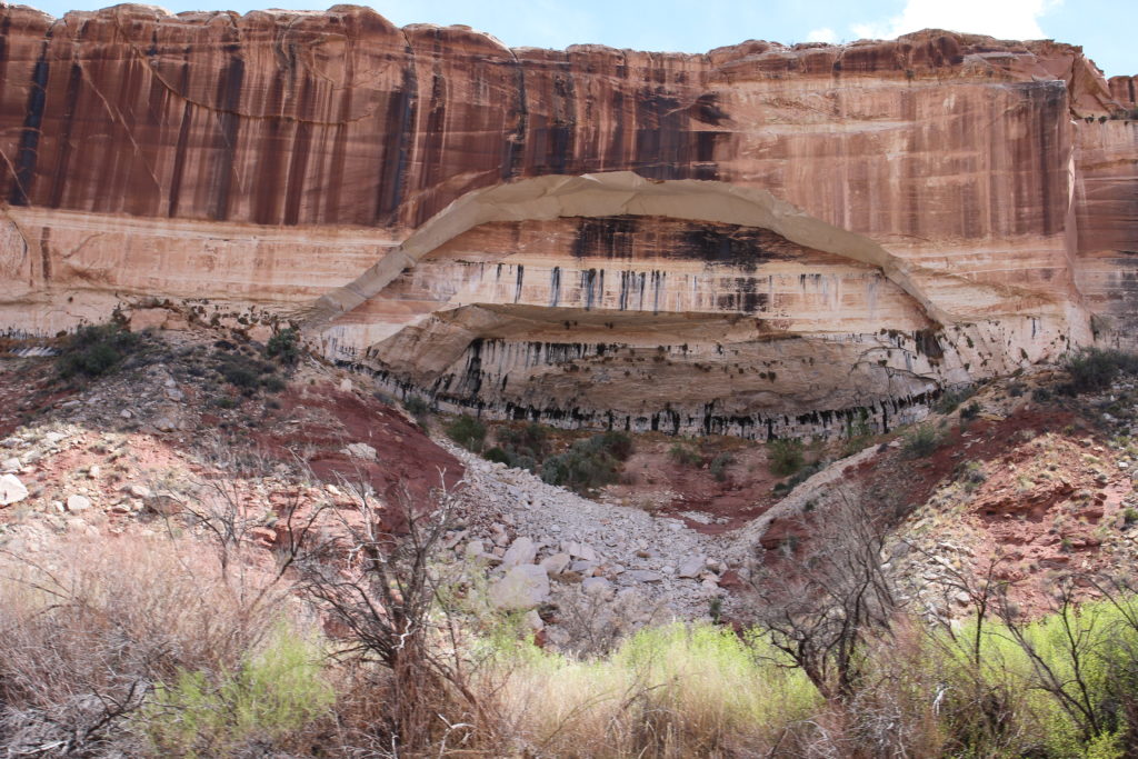
Alcove in the White Rim Sandstone.
Alcove formation is enabled by water that is absorbed into and percolates through pores in sandstone in the rock above, in this case the White Rim Sandstone. Beneath and sometimes within the sandstone are layers of shale which are impermeable to water. Water flows along the top of the shale layers and dissolves the calcium carbonate that holds the sandstone together weakening the sandstone. The freeze thaw cycle in the winter can crack the sandstone which will then eventually fall away from the cliff. As a lower layer erodes, layers of rock above are no longer supported and gravity pulls the weakened sandstone off the cliff face forming the alcove.
Laura looking up at the cliffs of Steer Mesa. Unknown Bottom is on the left.
A plant growing out of the wall utilizing a seep as a water source.
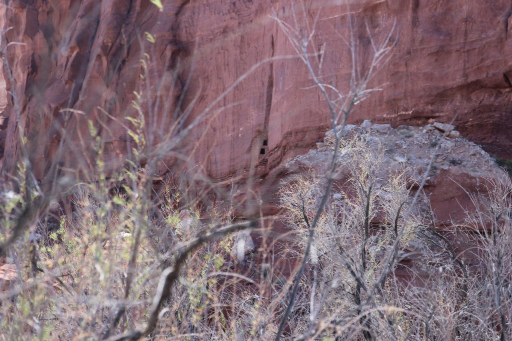
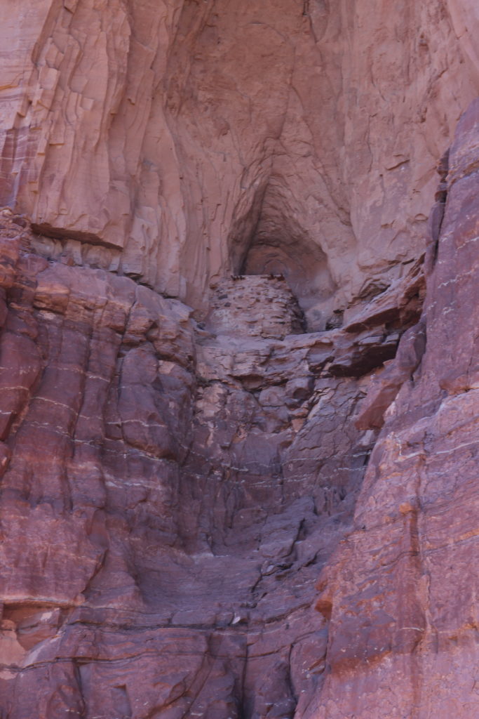
Granaries in the cliffs.
Going to need a ladder to access that granary.
Something as caught Laura’s attention. Deer Canyon is straight ahead.
Great view of Candlestick Tower. The area on the inside of the corner is known as Valentine Bottom. There are some camping spots in the area and a panel of pictographs that we did not stop to investigate.
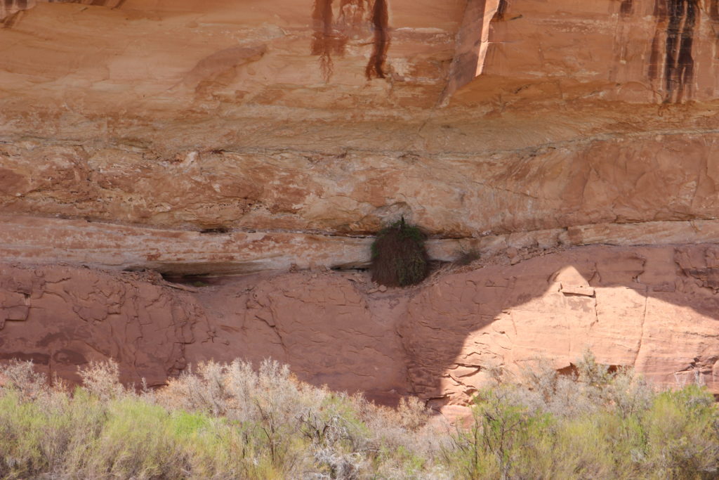
Coming around the corner our next stop are some cliff dwellings that I marked as “Best Ruins” on the map. They are straight ahead in the white cliff that is below the peaks in distance.
We arrived at an unnamed canyon where there were suppose to be some amazing examples of Anasazi Cliff Dwellings at 2:55 pm. It had been about 1 hr 20 min since we left Anderson Bottom travailing a distance of just over 5 miles.
First glimpse of the cliff dwellings at the far end of Valentine Bottom.
I scampered up a small cliff to get an elevated view east up river back towards Islands in the Sky.
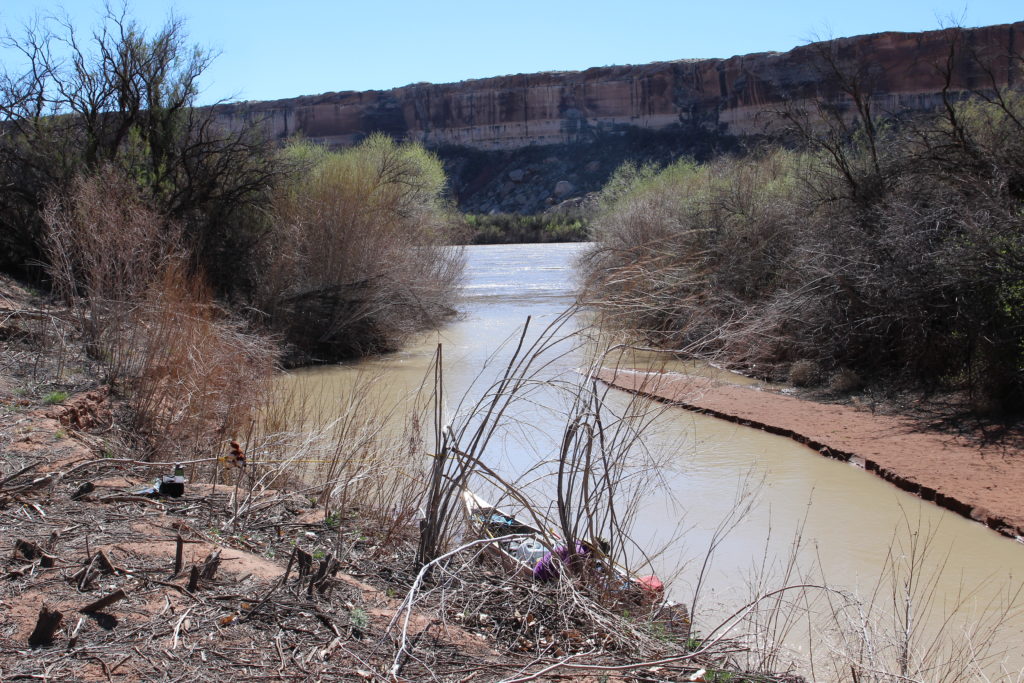
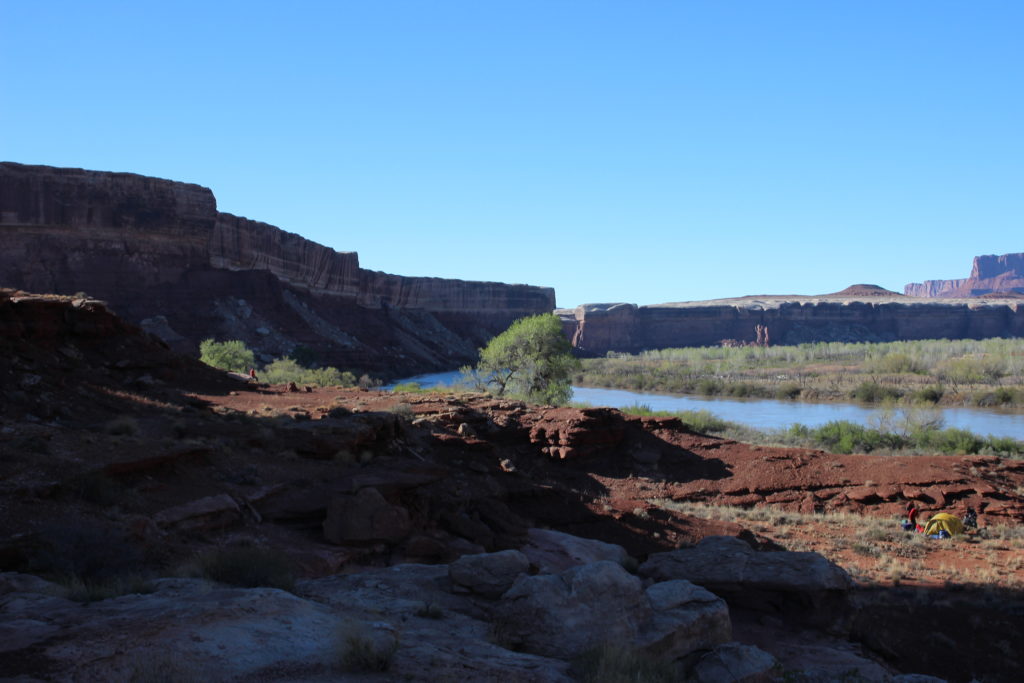
Looking downriver. The break in the cliff is where we will be camping for the night.
Laura down below.
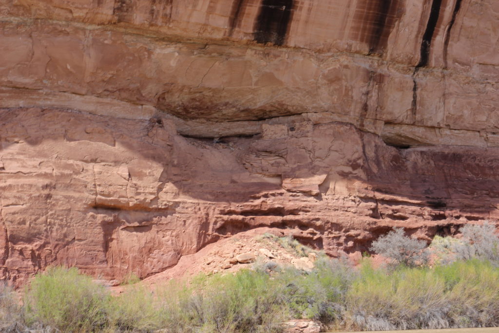
Looking up at the Anasazi cliff dwellings.
Close up view.
In great shape considering how old they are.
Very amazing cliff dwellings.
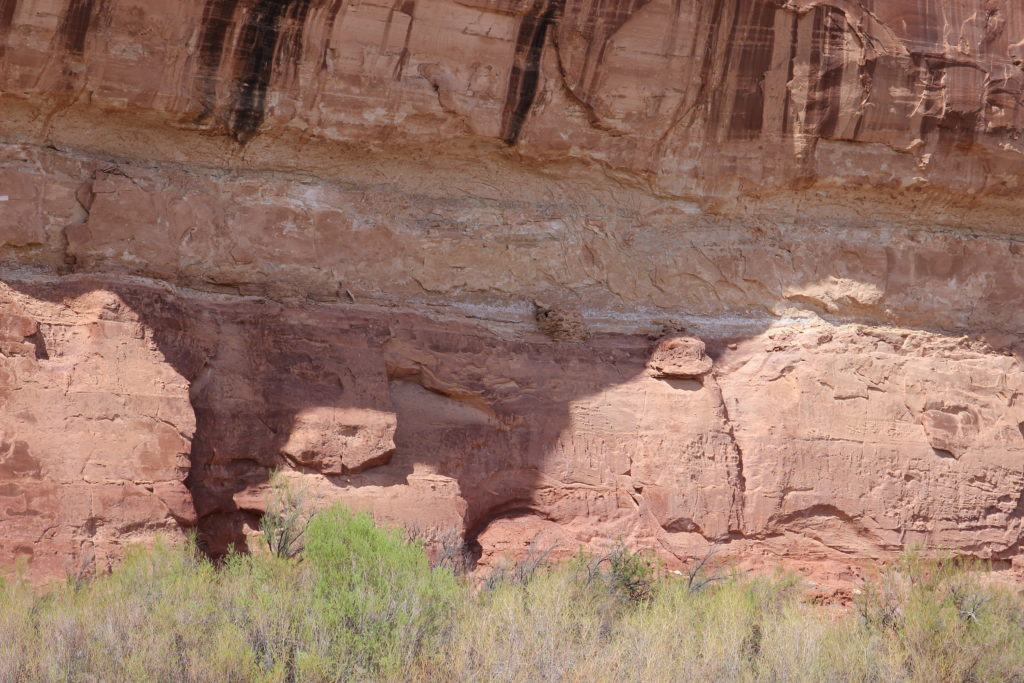
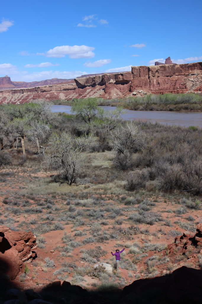
It is a huge cliff, the small person on the left is Laura for scale.
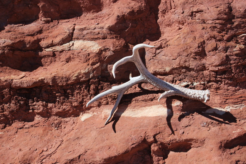
Did not see the owner of this anywhere.
One last photo.
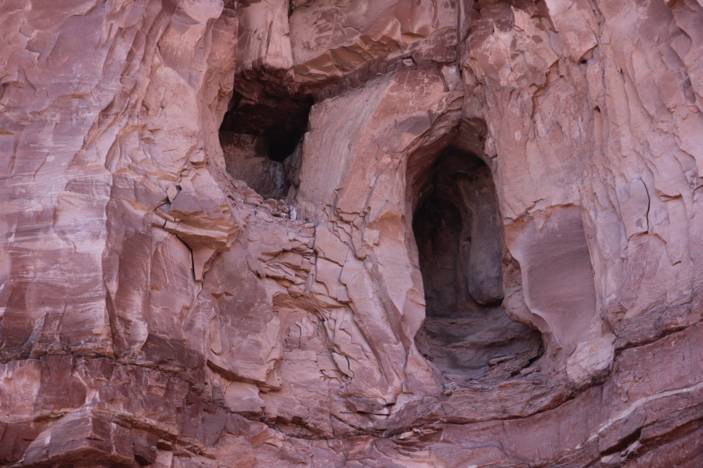
Very odd little box canyon. Small with an abrupt ending.
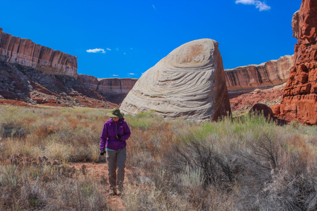
Laura walking carefully past the cacti. That is one nice boulder.
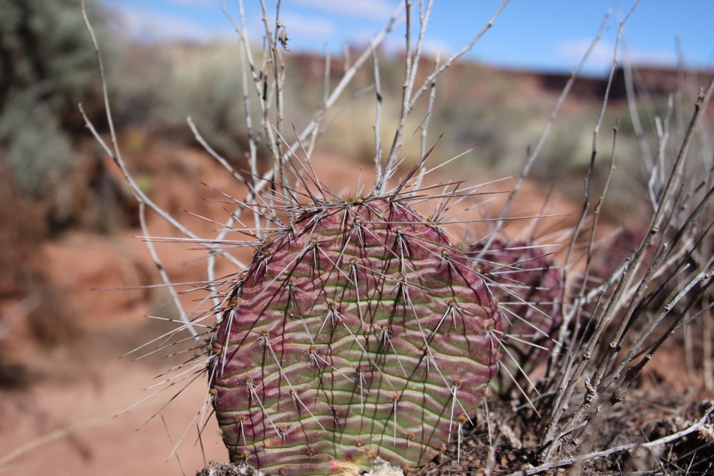
Look but don’t touch.
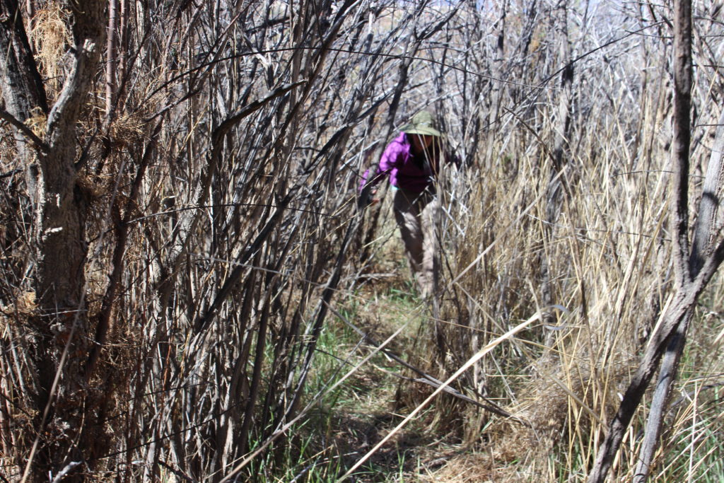
There was a trail leading from the river but it was a fight to get through.
Laura ready for the last part of today’s journey.
We spent almost 50 minutes looking at the cliff dwellings and exploring the small canyon. We were back in the canoe at 3:45 pm. It was less than half a mile to where we planned to camp known as Tower Park or Cabin Bottom. It would seem officially it is Tower Park named in the Powell Report back in 1869. The name comes from the towering cliffs and several miles of green “parkland” bordering the river. The guidebook calls it Cabin Bottom after a cabin that was built there and burned down in 1930’s. We found a great place to dock the boat near some cottonwood trees as described in the guidebook. It was 4 pm when we finished tying up the canoe. We had traveled 16 miles in 7 hours and spent several hours exploring along the way.
Had the tent set up by 4:30 pm.
I made dinner, pasta and sausages. Laura was in the tent with an upset stomach. Which was good as she did not see what I did to the dinner. One of the changes I would make on my next canoe trip would be to bring my two burner car camping stove. I was using my backpacking stove which is great for heating water and warming up meals but not practical for cooking. Without thinking too hard I moved the veggies off to the side to prevent them from burning, this had the unintended consequence of unbalancing the stove and everything tipped over into the sand! I did attempt to get as much sand out of the dinner as I could. When serving up dinner I confessed to Laura what had happened and while there was some grit in our dinner it did not turn out that bad.
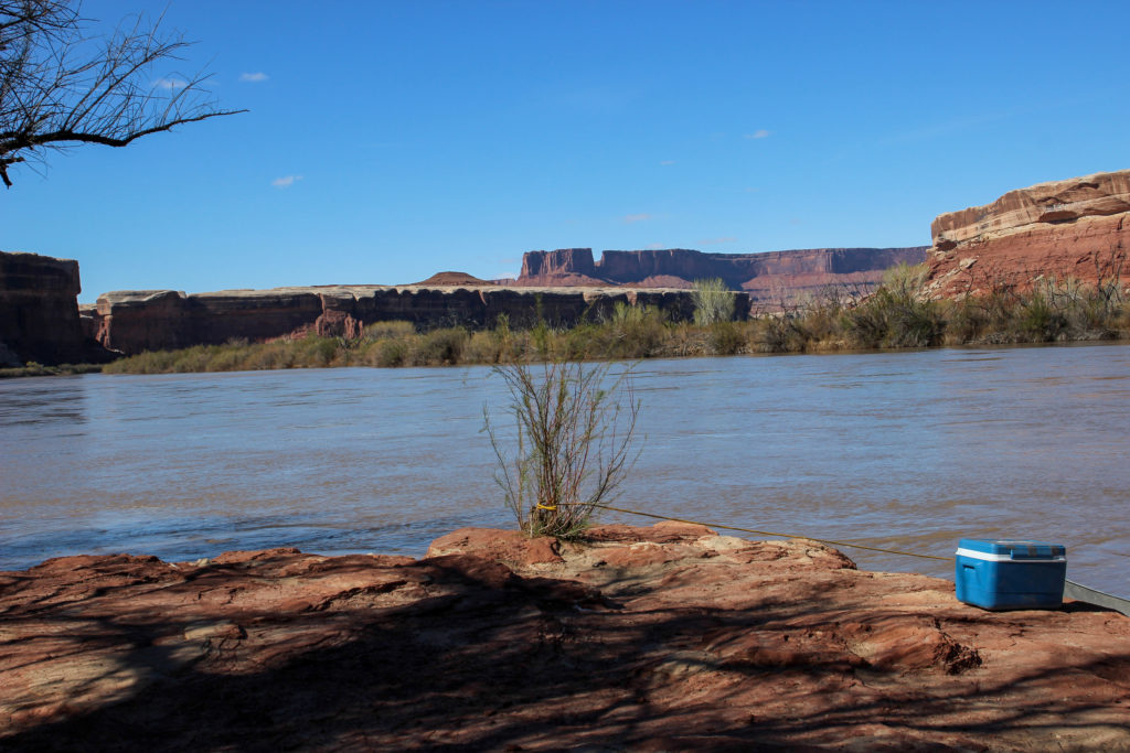
Where we tied up the canoe. Not sure the cooler being so close to the edge is a great idea.
After dinner I went for a bit of a walk about. Laura came a little way but she was not really feeling that great. There were two couples camping just a short way from us. They were experienced canoeists and came with Tex’s Riverways but had their own canoes. They had camped just a little upstream of us the night before. One thing we noticed right away was that they had a table and chairs.
Looking upstream. We are camped in the trees just beyond the two tents in the field.
The second group we met where the large group camping above us last night. They were hard core river travelers. They had their own rocket box and had a backcountry margarita maker! This group was definitely on the river to relax and enjoy themselves. As I headed back they offered me a beer but I declined as I said I had to get back to Laura who was not feeling well, so they gave me two beers to take with me. These beers would be a highlight of the following day. Neither of the groups we met had done any exploring on the river. After leaving Fort Bottom both groups just paddled and floated all day until arriving at Cabin Bottom.
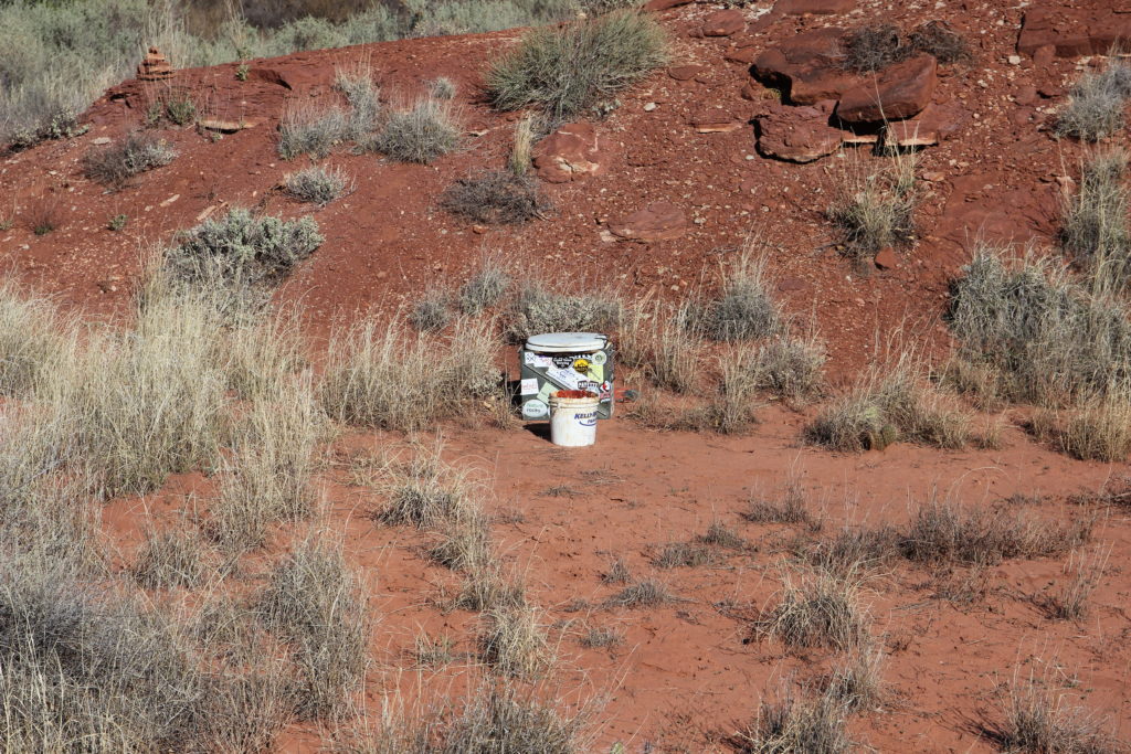
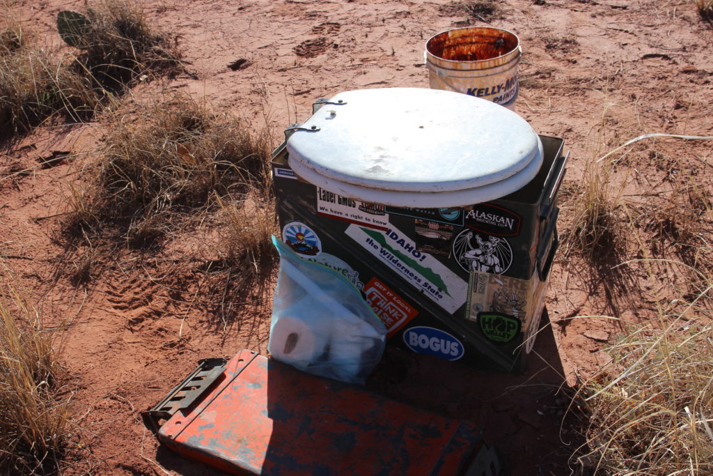
The next group on the bottom were serious boaters, they had their own rocket box (toilet).
Called a “rocket box” not because of the present contents but that they are made from milatry surplus ammo boxes.
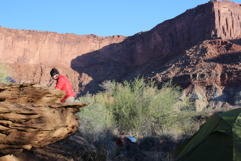
I have hiked a little further down the bottom. Can see the “fun bunch” camped at lower left. Laura is in her red puffy in the sunshine on the left.
Looking down river. The plan was to hike to the end of the bottom in the morning where there was suppose to be some excellent panels of rock art.
Sun is starting to set.
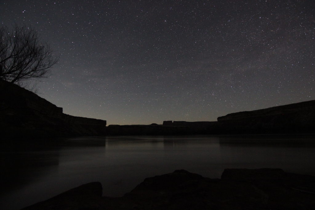
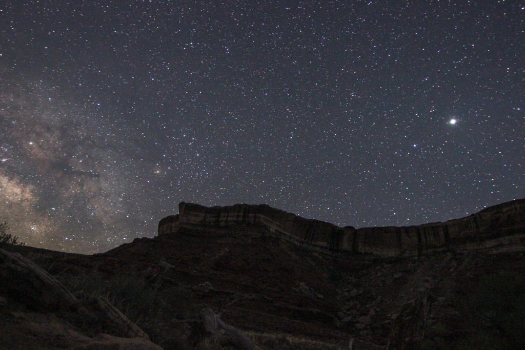
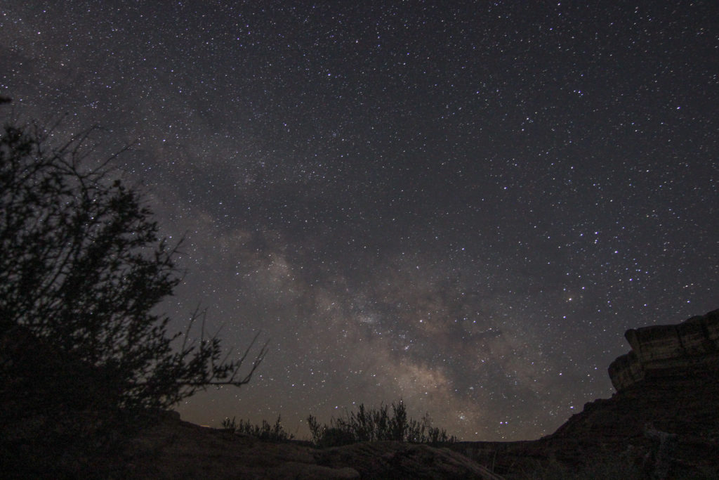
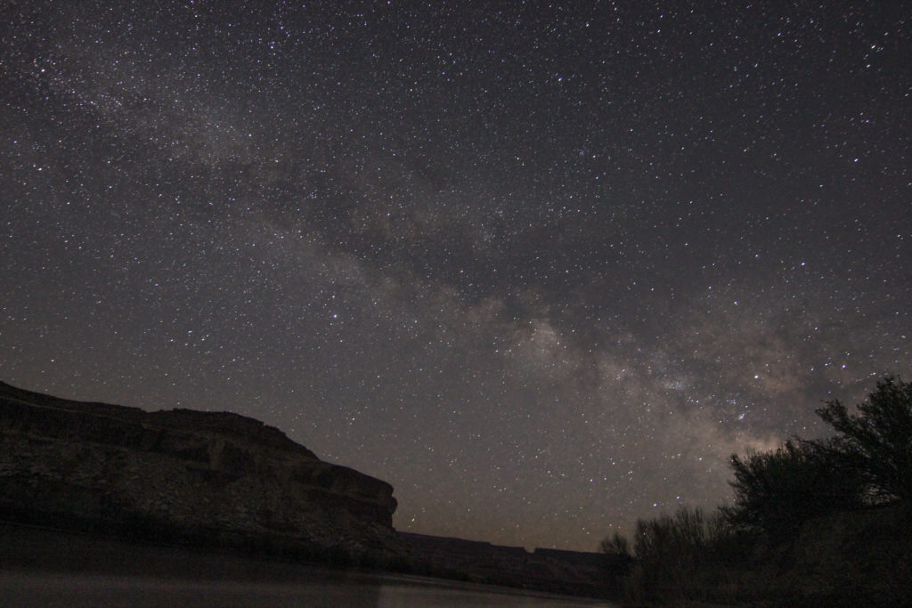
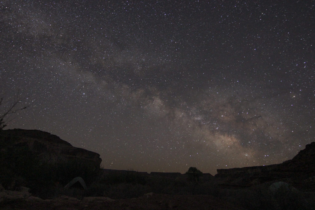
We went to bed about 9 pm. With the clear skies I decided to get up and try some night time photography. I was out of the the tent at 3:30 am and I was not disappointed. This would be the first time I able to captured multiple pictures of the Milky Way. I remember being quite frustrated because I could not quite see the Milky Way, it was quite bright out, but I new it was there. I ended up taking pictures in all directions before I just captured a corner of it that I saw in my viewer on the camera. I was then able to hone in on the Milky Way and was quite satisfied with the results. I was quite pleased when I went back to the tent at 4 am.
Still quite a lot of light about.
The canoe and some of the Milky Way. A lot of light in the distance. I think maybe there was a bright moon that evening.