Day 2 Mystic Valley Campground to Moose Meadows Trailhead, 19.3 km, 349 m elevation gain, 839 m elevation loss, 6 hrs 5 min
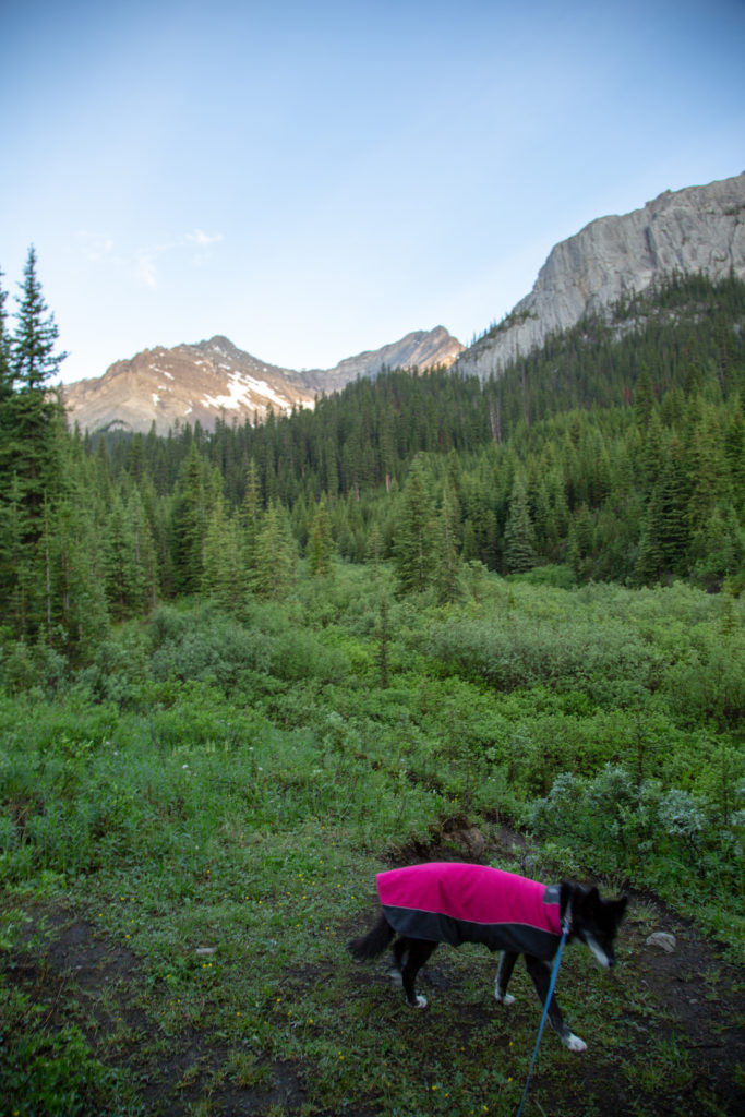
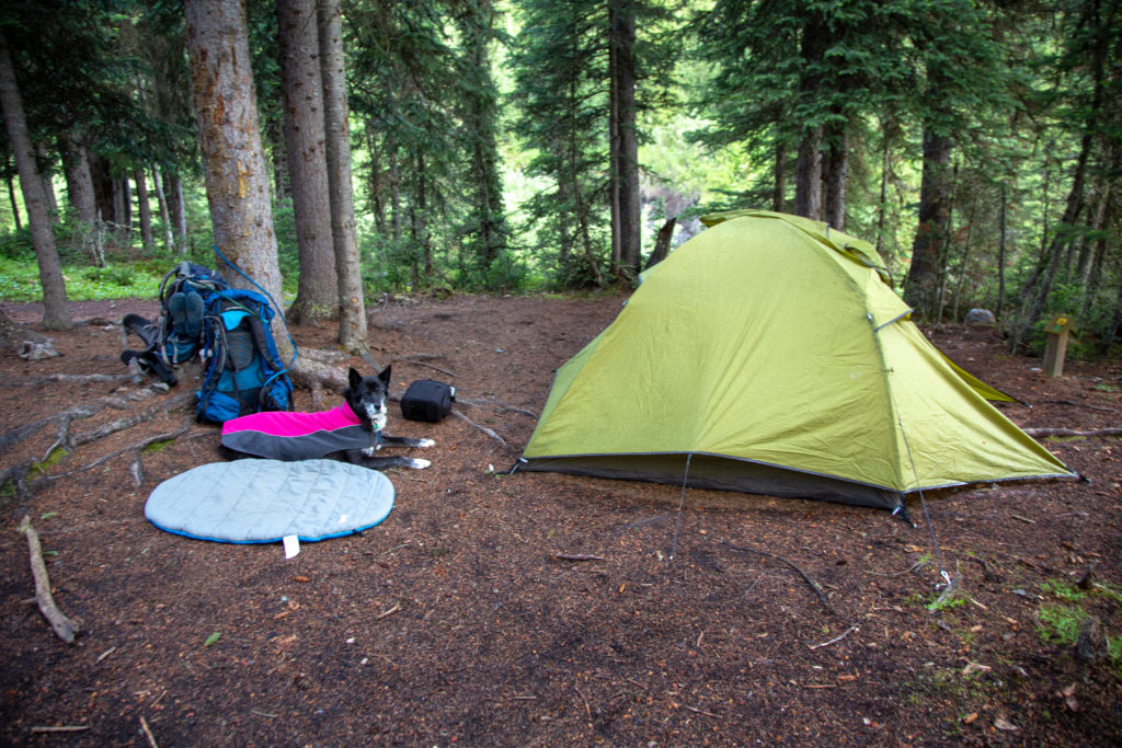
Even though we had almost the entire day to hike out to Moose Meadows, I did have a family dinner commitment in Calgary in the evening, so I was up early and out of the tent by 6:15am. It had rained overnight, the trees in the campground kept most of the water off. I gave Volcano a little walk around the campground, then we headed over to the food storage to feed Volcano and collect our food for breakfast.
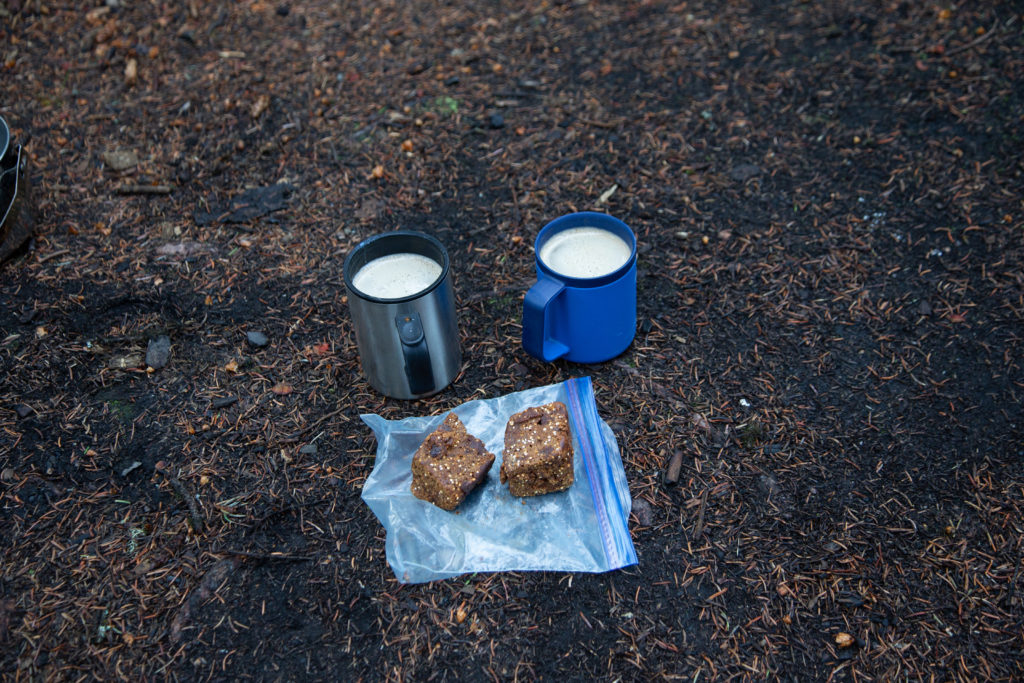
When Micah and I did the GR20, we had coffee and oatmeal for breakfast. While having a hot meal at breakfast is wonderful, it is time consuming to heat and eat the oatmeal. For this trip, we still had a hot cup of coffee, but switched out the oatmeal for Logan Bread (for the recipe we use, follow the link Wild Backpacker). Logan bread is dense, dry baked product, that travels great and provides a hearty snack, or breakfast. We ate 100g chunks of Logan Bread, and it was a satisfying breakfast, and easy to eat as we tore down the campsite. This easily saved us 10 – 15 minutes in our morning routine, not a big deal on this trip, but nice if you have a big day to accomplish.
The sun poked up over the horizon just after 7:00 am. The day looked good, but the weather forecast had threatened possible thunderstorms in the afternoon. We hit the trail by 7:25 am.
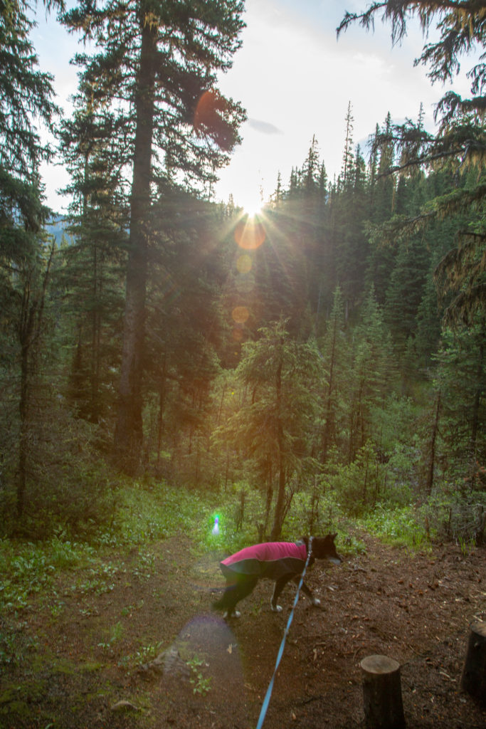
The campground was a hill with the creeks draining Mystic Pass to our north and Mystic Lake to the south. We veered away from the Mystic Pass creek and traveled on a rocky, rooted trail beside the creek draining Mystic Lake. We came to a nice, robust bridge over the creek after about 8 minutes, and arrived at the junction to Mystic Lake after about 10 minutes and a distance of 800 m from Mystic Valley Campground.
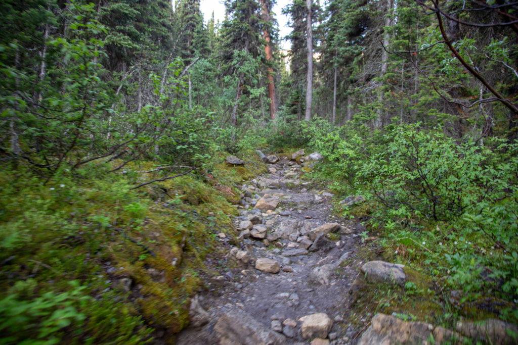
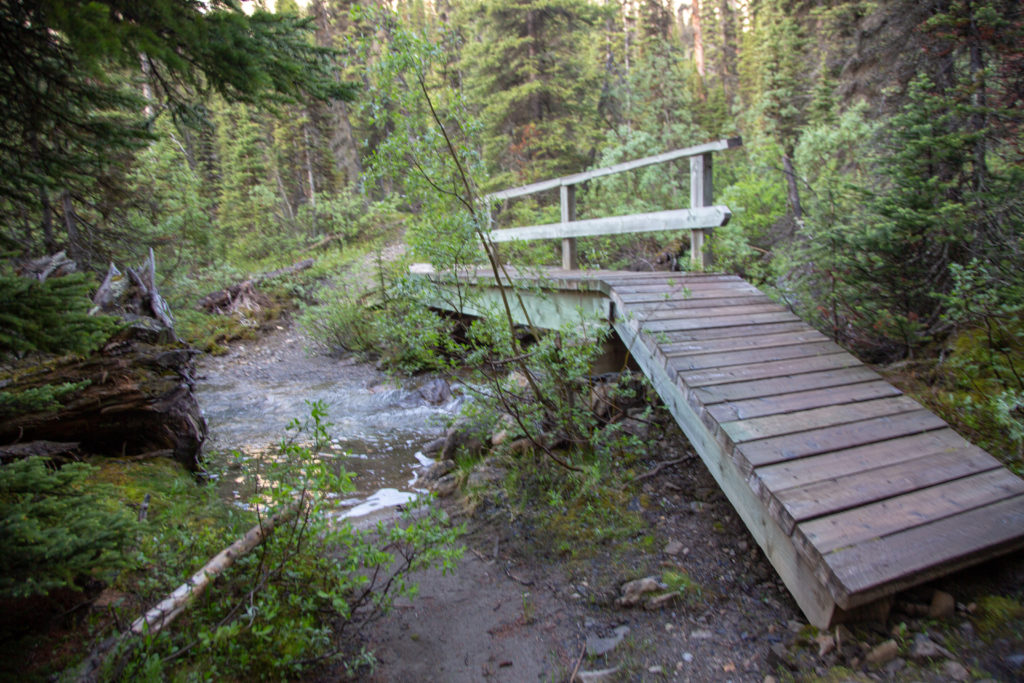
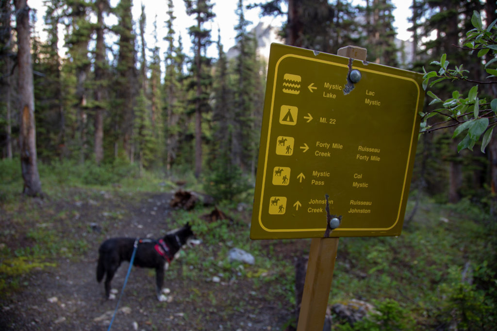
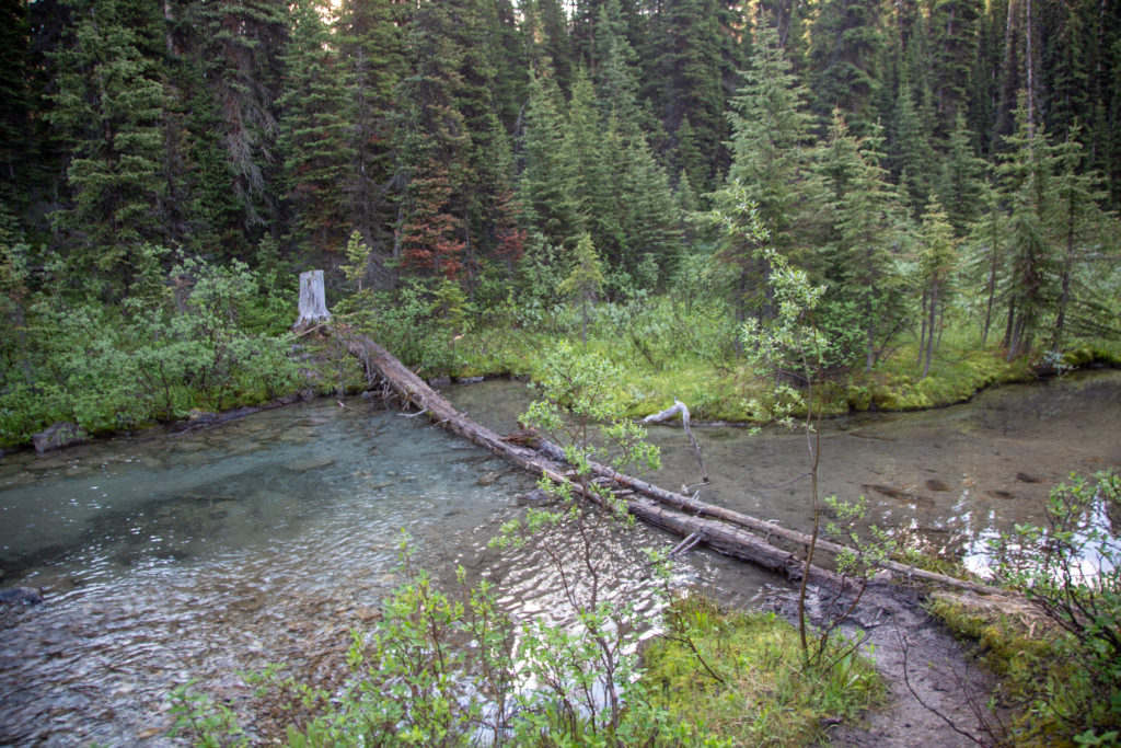
An easy hike to lake was punctuated by a small obstacle. Parks Canada had made a simple bridge crossing from two logs, but the logs had rotted out and collapsed. The water was not very deep, but I decided to carry Volcano across by the harness, as Volcano is not the most precise walker, and I was afraid she would fall of. It was difficult to carry her and not fall off myself. Volcano put me to shame on our return trip when she just walked easily over the logs without a problem.
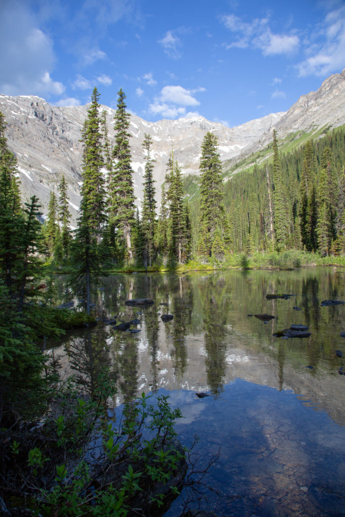
We came across a small pond. The water was smooth so I stopped for pictures.
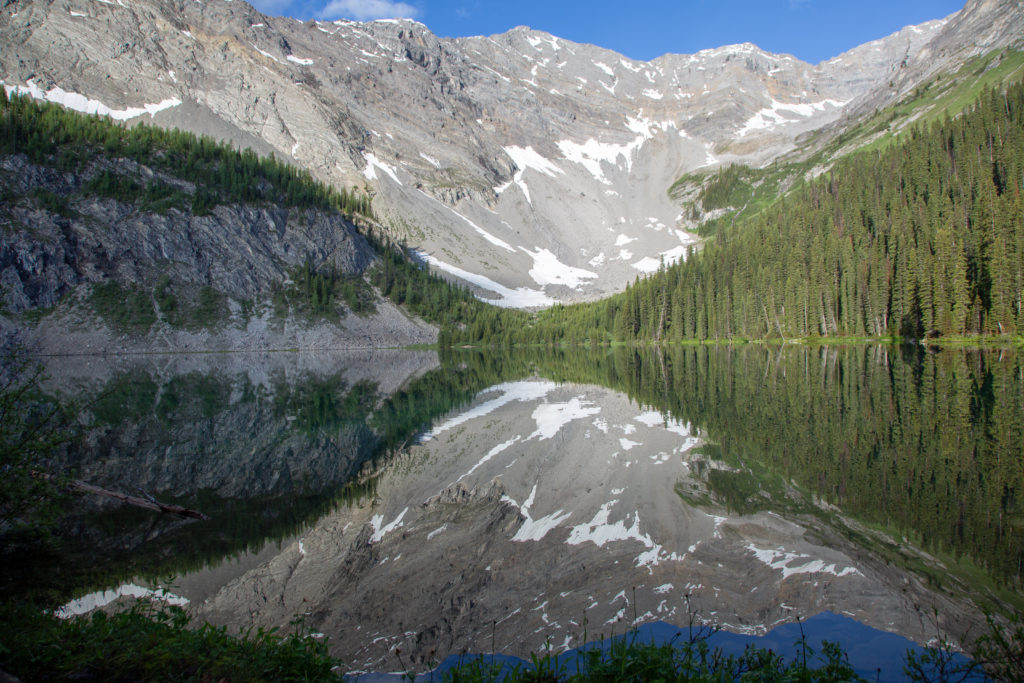
Continuing on, we arrived at Mystic lake about 20 minutes and 1.3 km after leaving the campground.
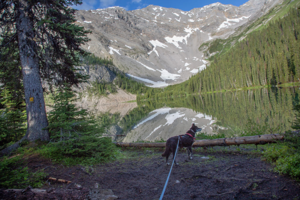
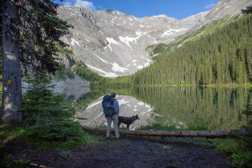
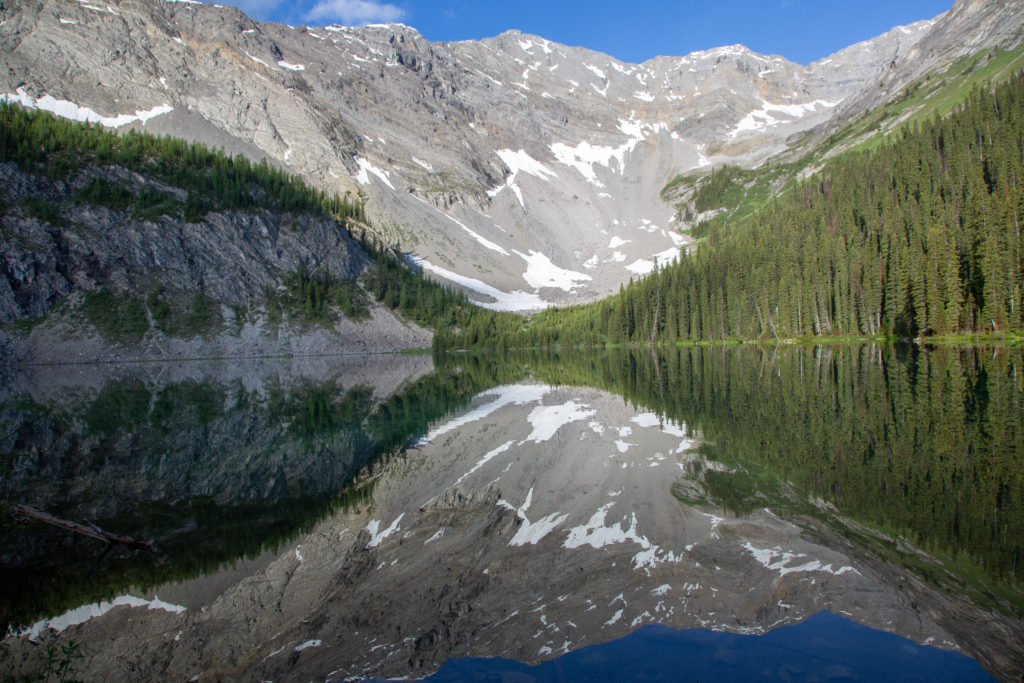
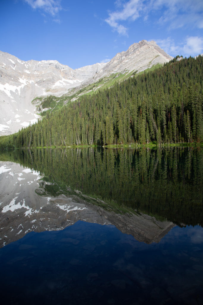
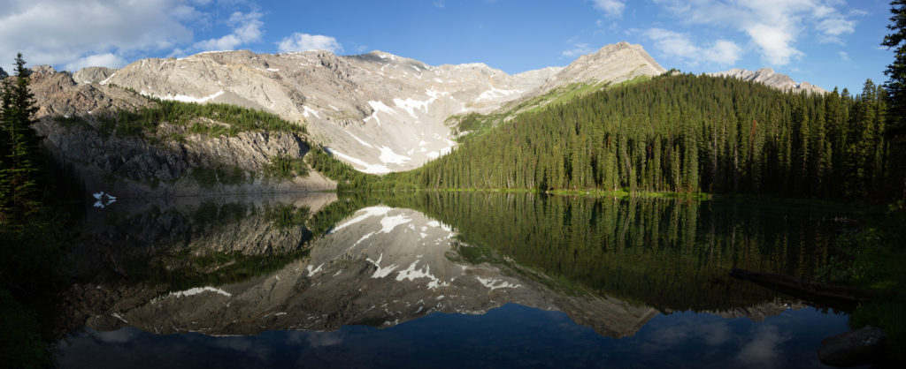
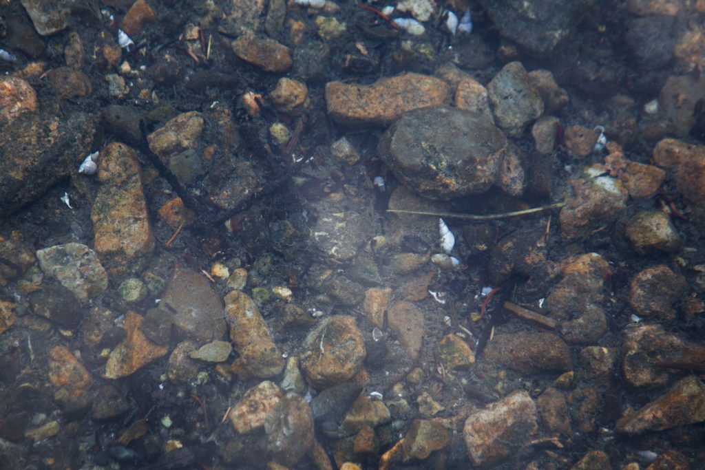
We spent several minutes taking in the view, Mystic Lake was one of the highlights of the trip, and no point in rushing. Just before we left, I was looking in the water, and I notices shells among the rocks . I was surprised to see shells in a alpine lake, I did not think mollusks would live in the cold alpine water of the Canadian Rockies.
On the way back to the junction with the main trail, we came back to the little bridge crossing, while we debated on what to do, Volcano just charged across, no problem. We arrived back at the junction with the main trail, it had been 35 minutes since we left the campground, and our side trip to Mystic lake had taken about 25 minutes.
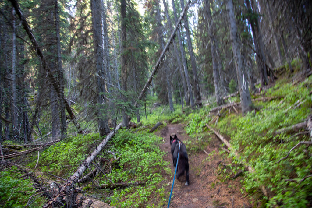
To the top of Mystic pass it is a distance of about 3.5 km and elevation gain of 280 m from the junction with the trail to Mystic Lake. The trail improves as we leave the junction, it is wide, well graded and not as rocky as earlier. We cut up through very old growth forest. We came to a stream draining a small unnamed lake above Mystic Lake, it provided a pretty view as it tumbled down through forest.
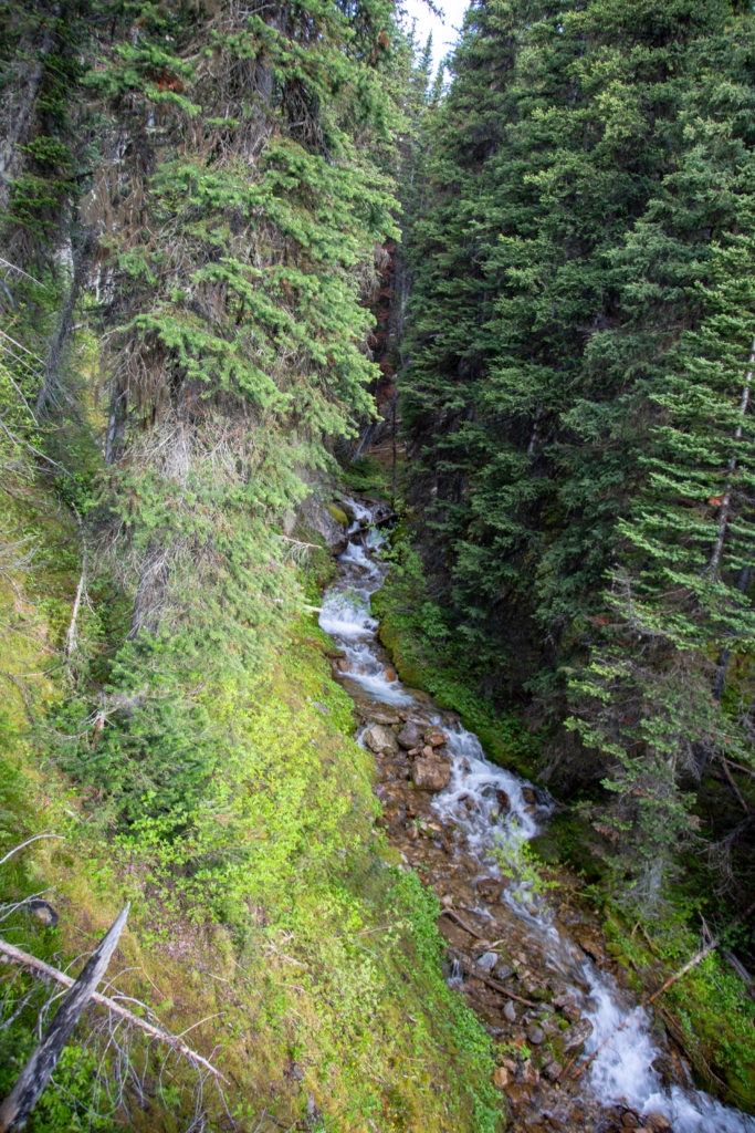
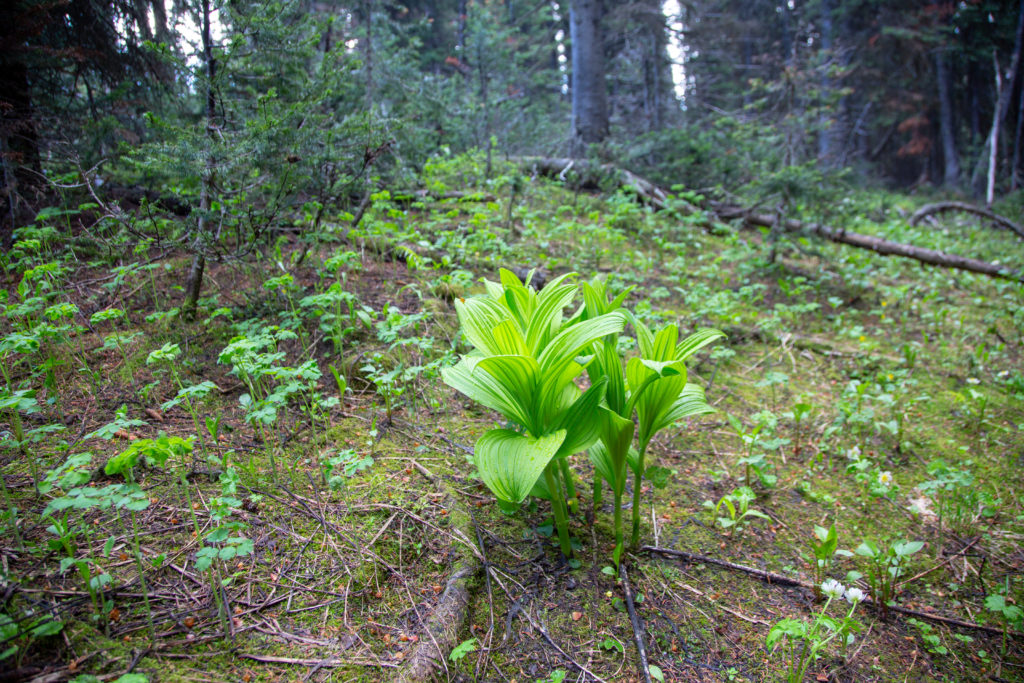
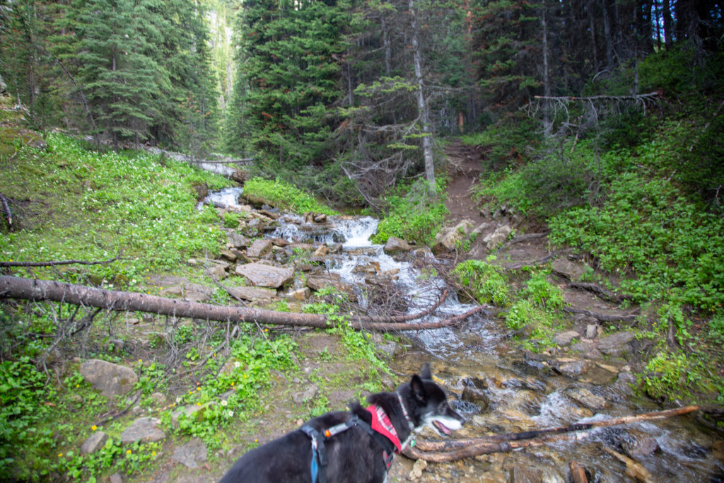
The trail flattens out a little after the stream crossing, but continues on a steady ascent to the pass. After hiking steadily for 30 minutes, we come out on a avalanche path providing us our first views of Mystic Pass. We have covered half the elevation to the pass.
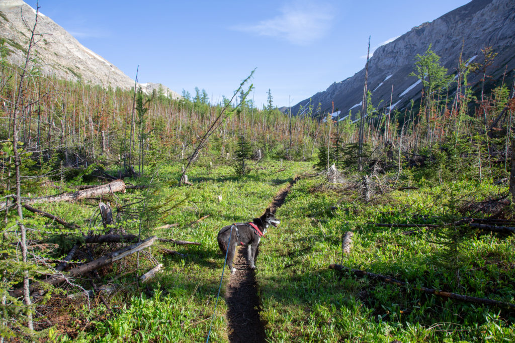
After passing through the avalanche pass, we plunged back into the forest. In the forest, we found some small patches of snow, as a retired sled dog, Volcano enjoyed sniffing and playing in the snow.
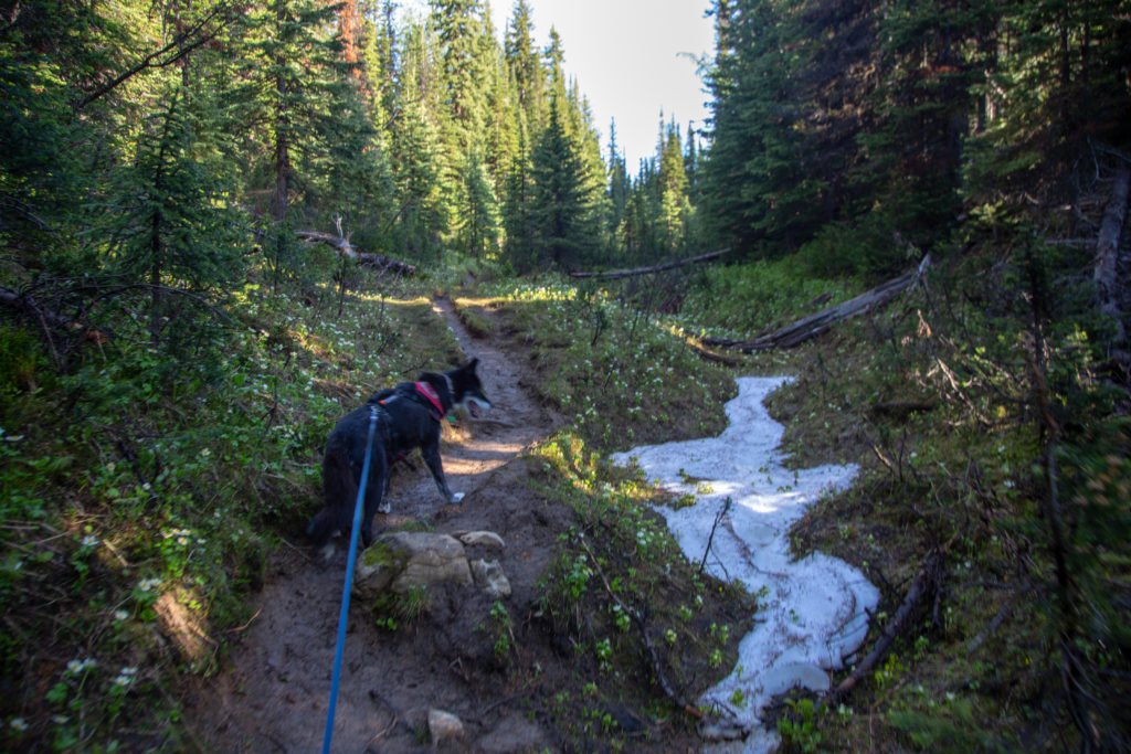
The trail then leveled off and the trees started to thin out. We past through some small meadows. Finally we cleared the the forest. We paused to take some photos and take in the view.
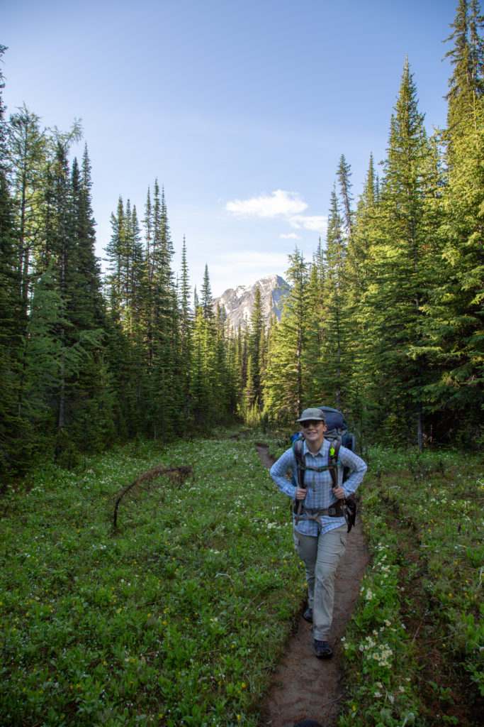
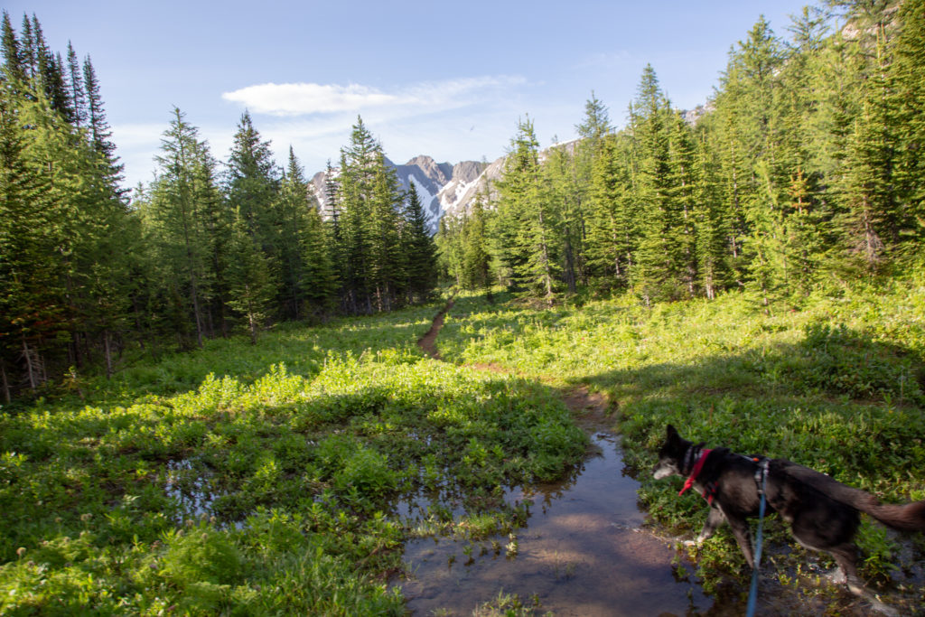
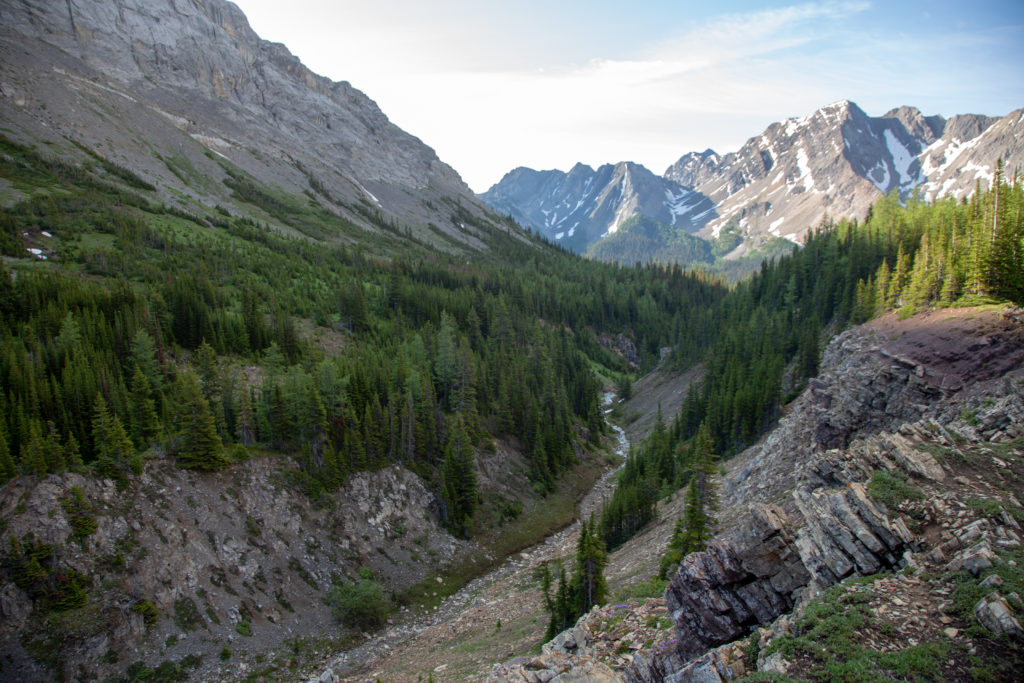
We continued on, passing through rocky alpine meadows, some more snow fields for Volcano to enjoy and arrived at the top of the pass at 9:03 am, it had taken 1 hr 15 minutes to travel the 3.5 km from the junction with Mystic Lake
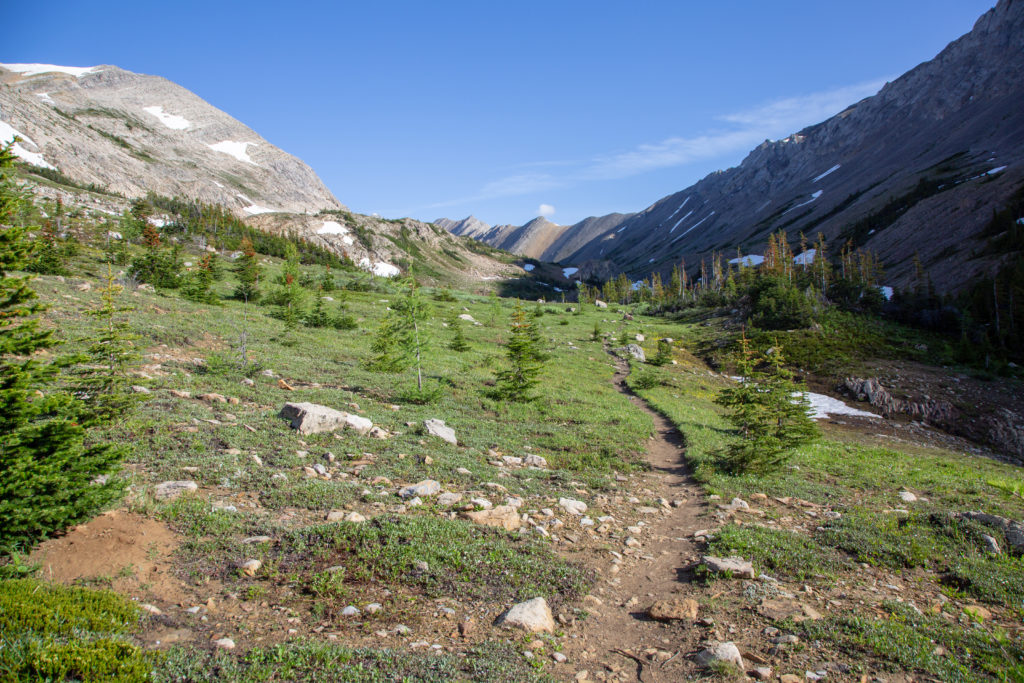
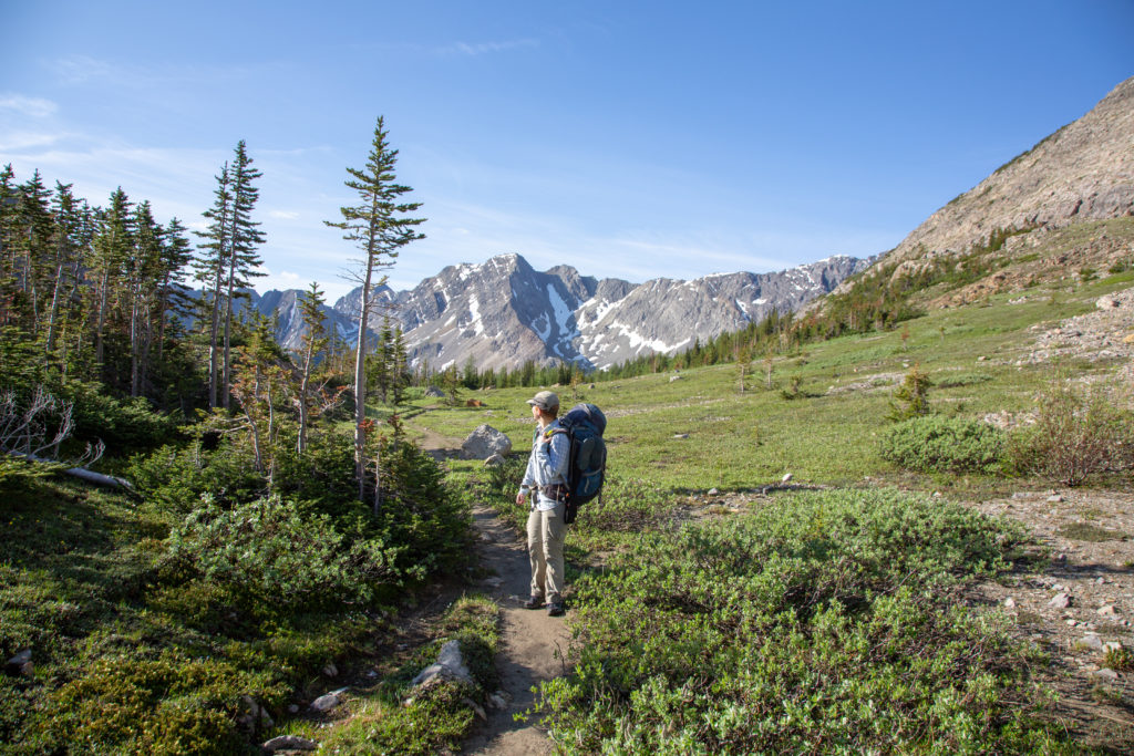
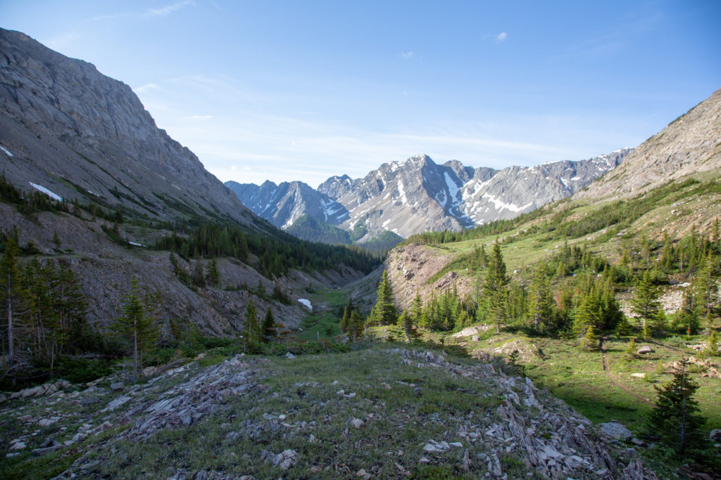
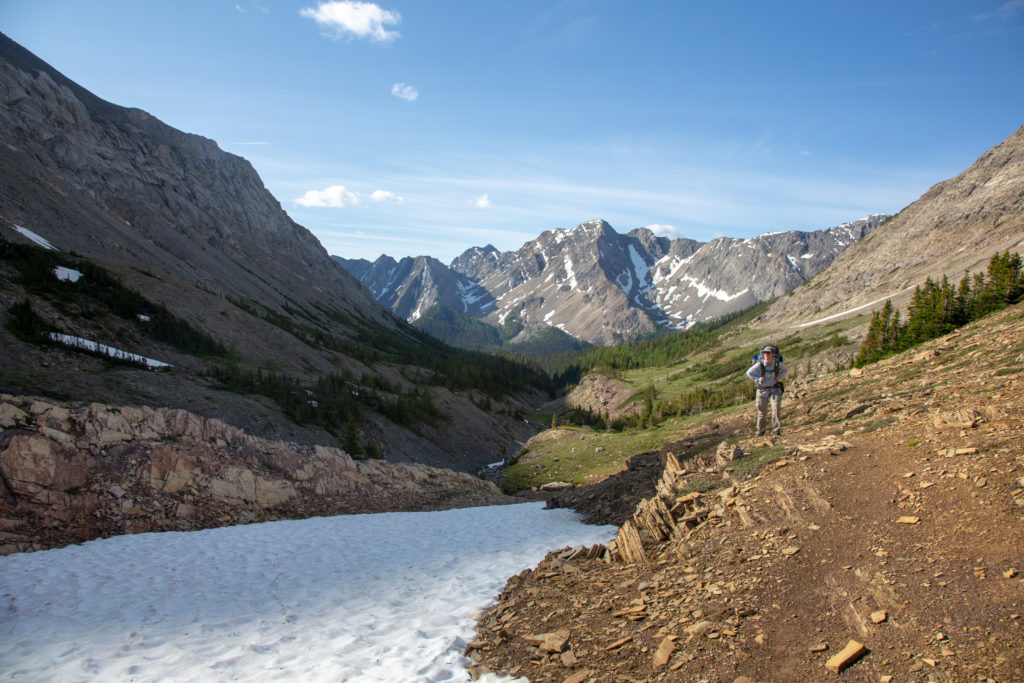
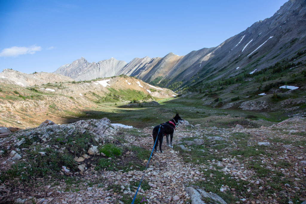
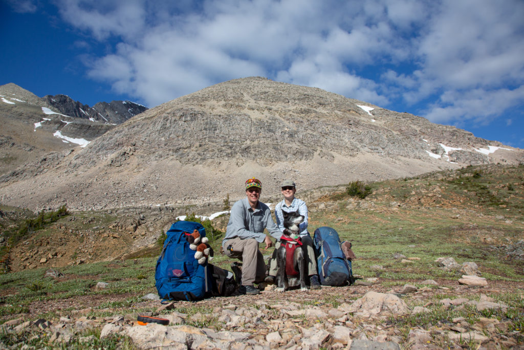
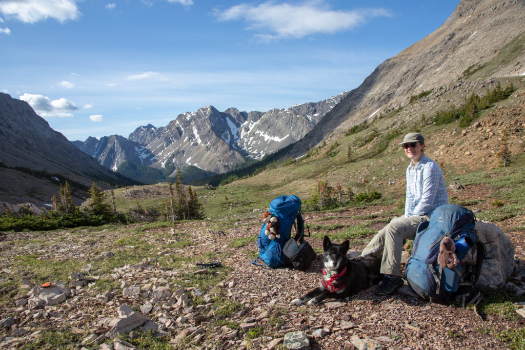
We stopped for a snack break, and enjoyed the views provided by the pass. Leaving the pass, we would descend into a long valley, dropping 530 m over 7 km before arriving at Larry’s Camp Campground.
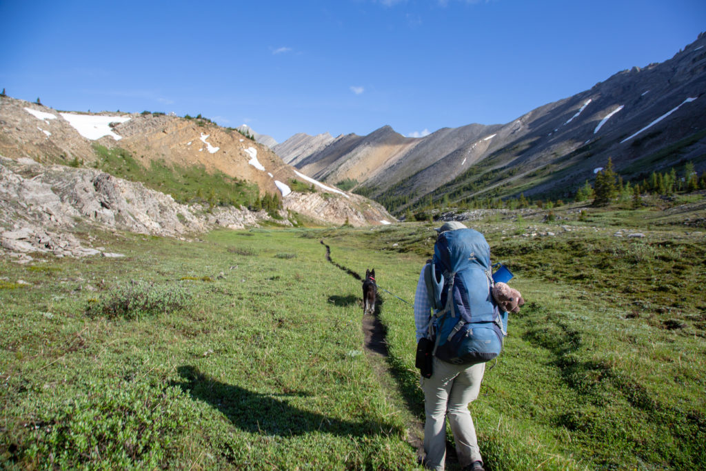
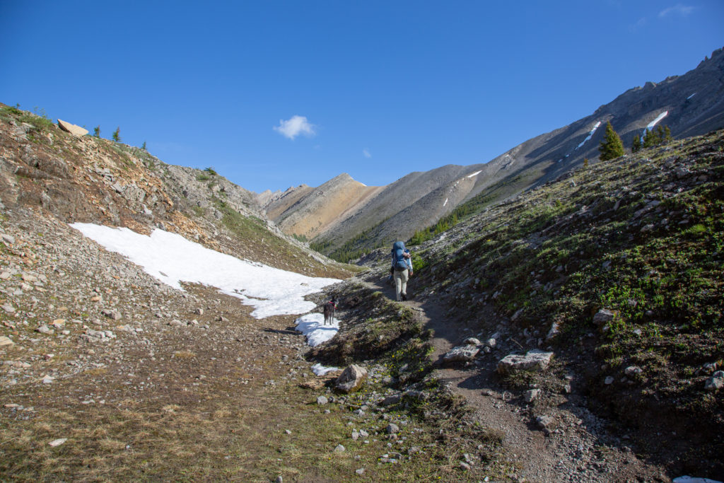
We dropped down into a nice meadow, quickly cross, and up a small gully with some snow that Volcano checks out. The transition from the grassy meadows of the alpine, to the forest marking the beginning of the decent is quite abrupt. We entered the forest and headed down the steepest section of trail on the hike, we lose 240 m in 1.4 km.
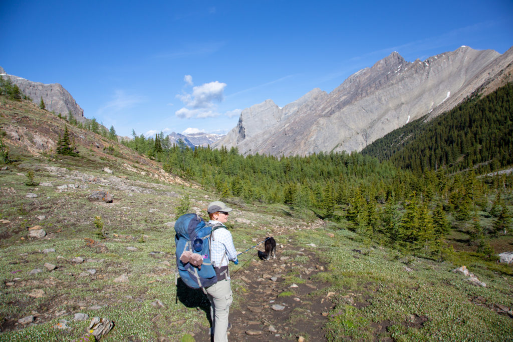
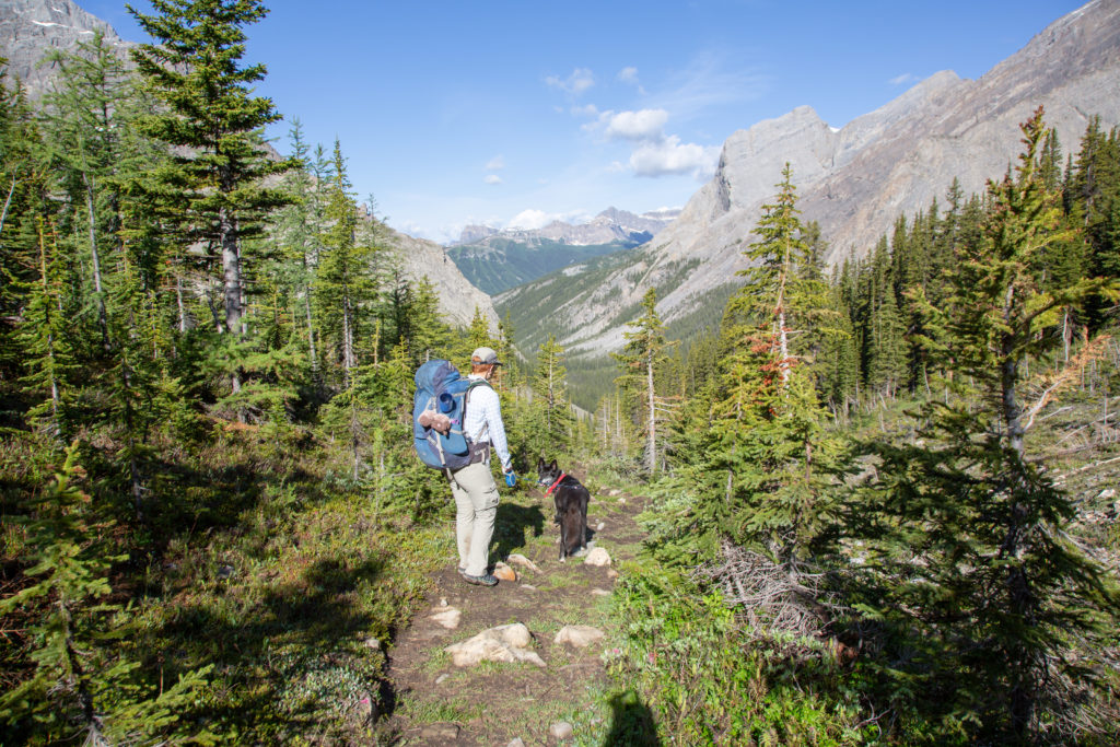
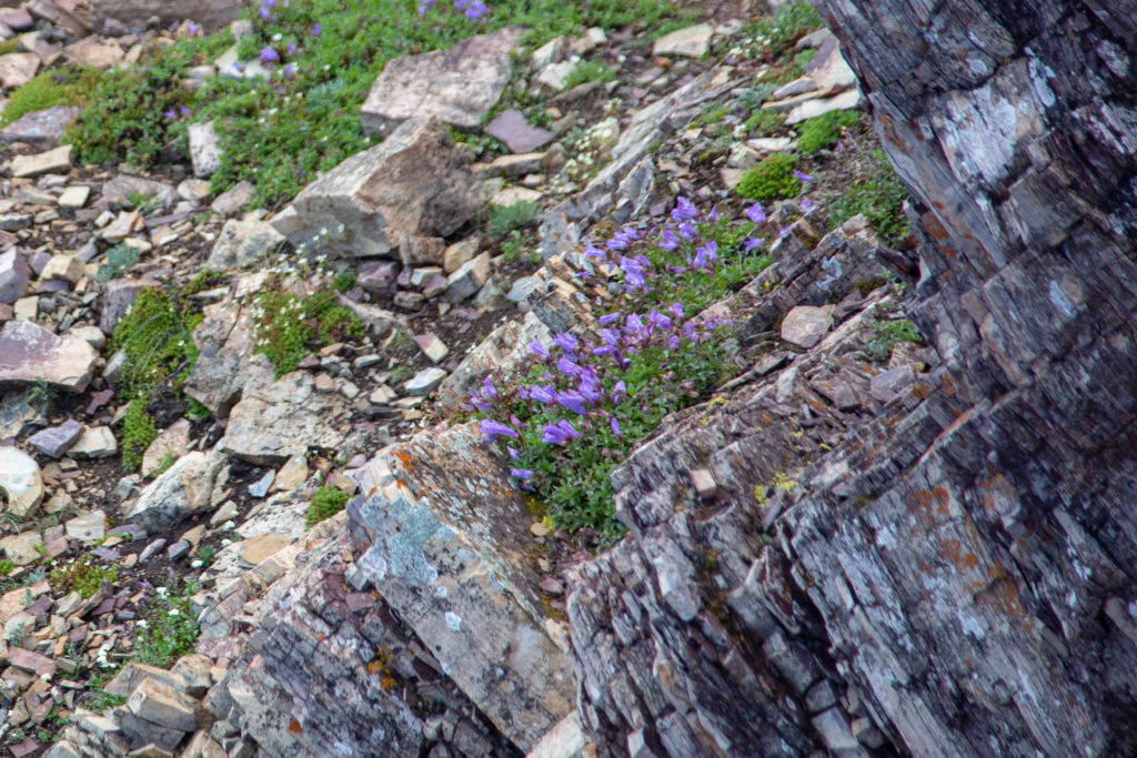
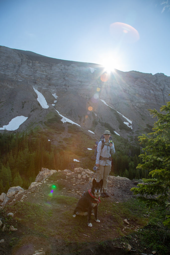
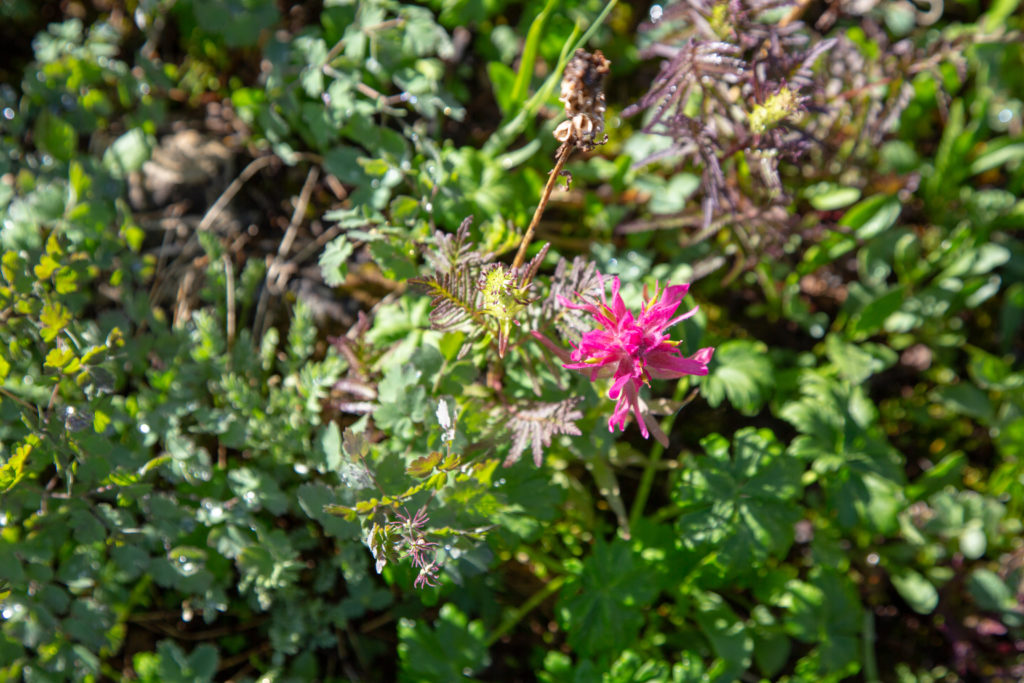
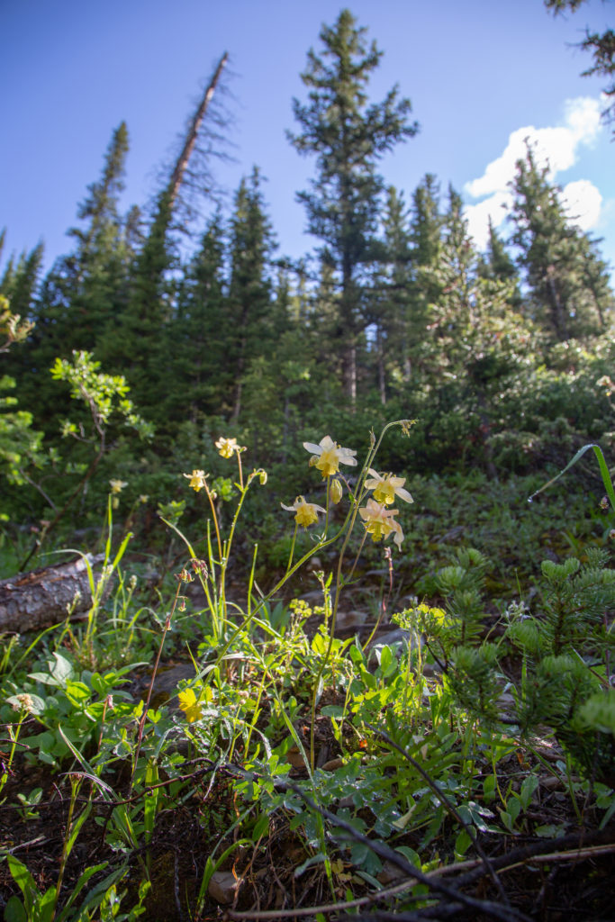
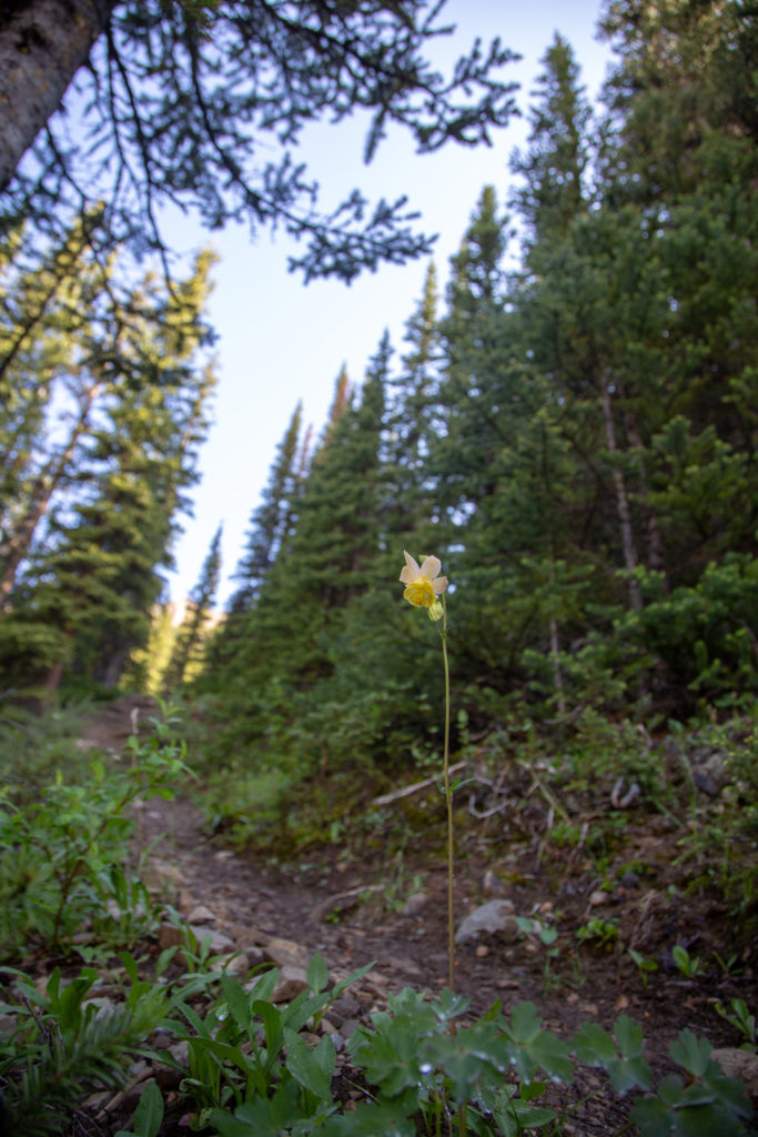
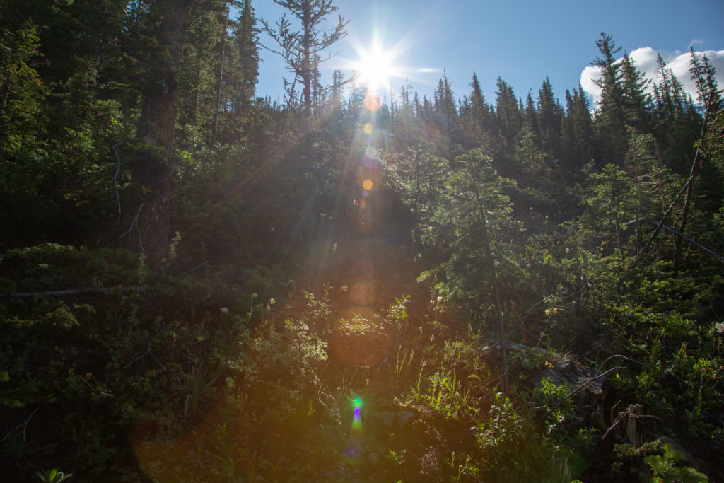
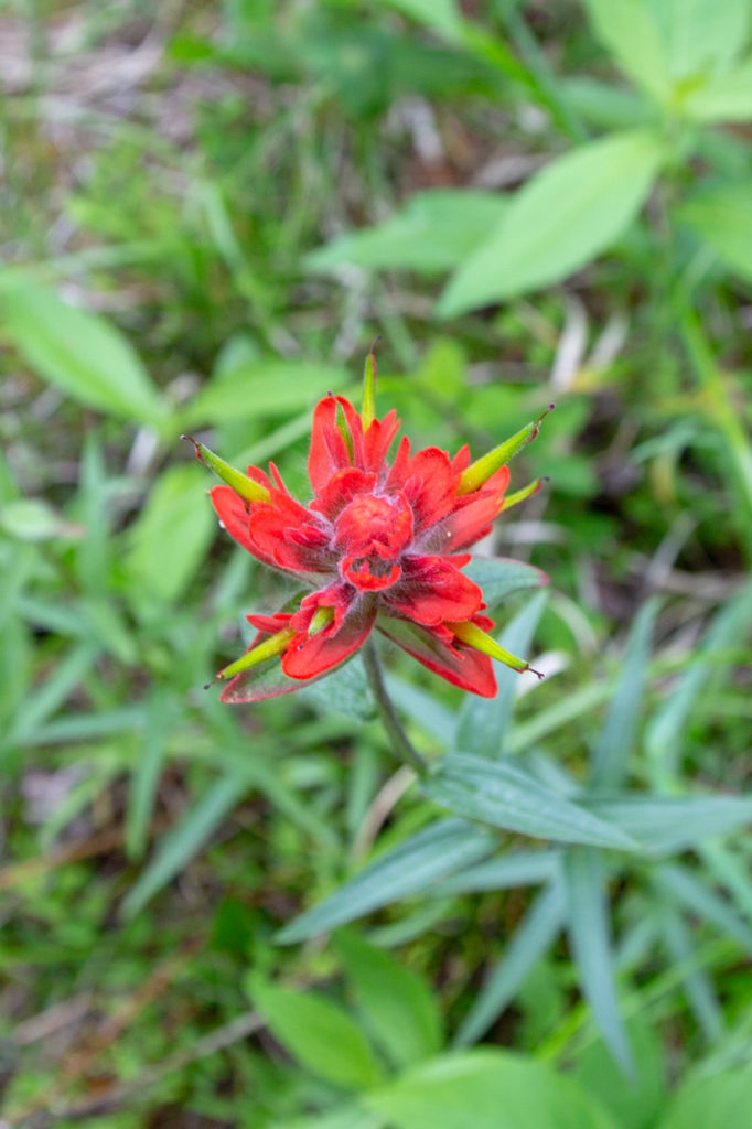
The trail was steep, with some switchbacks, but I am happy we are not coming up this. Flowers along the trail add some colour to the hike.. The sun rising higher into the sky gave us some warmth in the shade of the trees, and made a nice sun star.
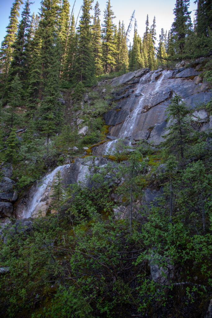
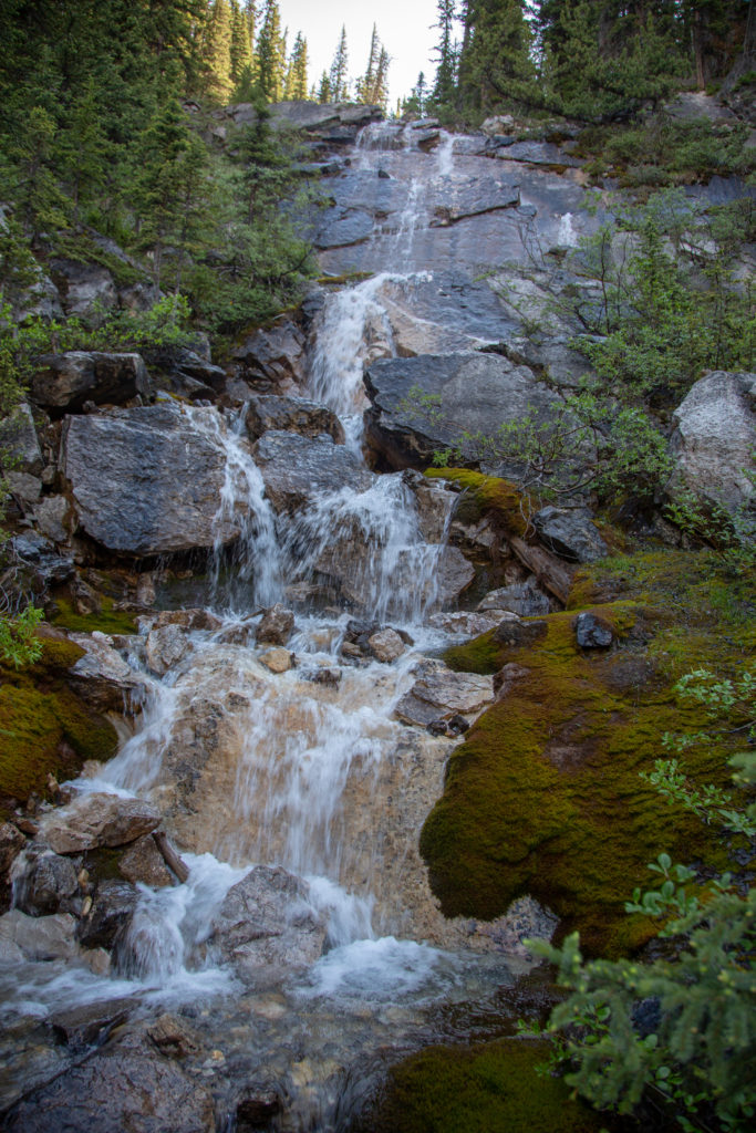
We came across a waterfall, about 1 km after leaving the pass. I scrambled down a steep slope to get some photos, maybe would have been easier if had taken off my backpack.
The trail continued to descend steeply after the waterfall for another half a kilometer, before flattening out for a couple of kilometers. We passed by a massive slope of broken rocks. It is said to be inhabited by a large population of pikas, maybe we were too early, because we did not see or hear any. We met a couple of trail runners working their way up the pass, these were the first people we had seen since we had spotted someone at Cockscomb Campground the day before.
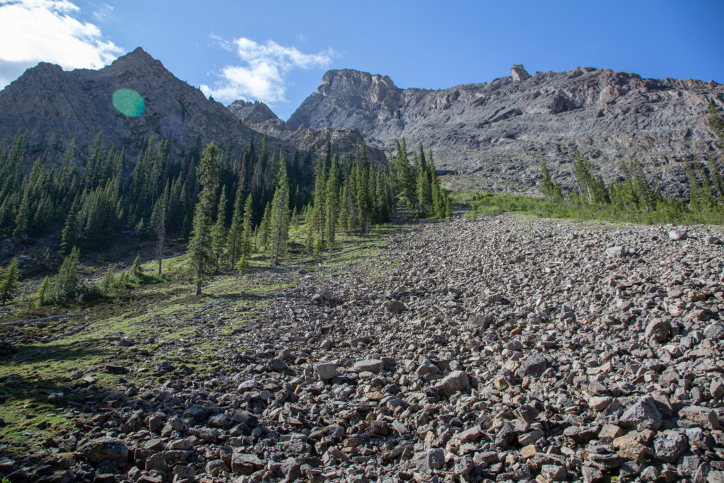
We escaped the trees for a short while and the views opened to show the magnificent mountains surrounding the valley.
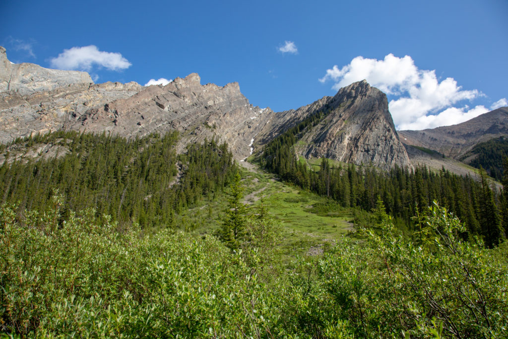
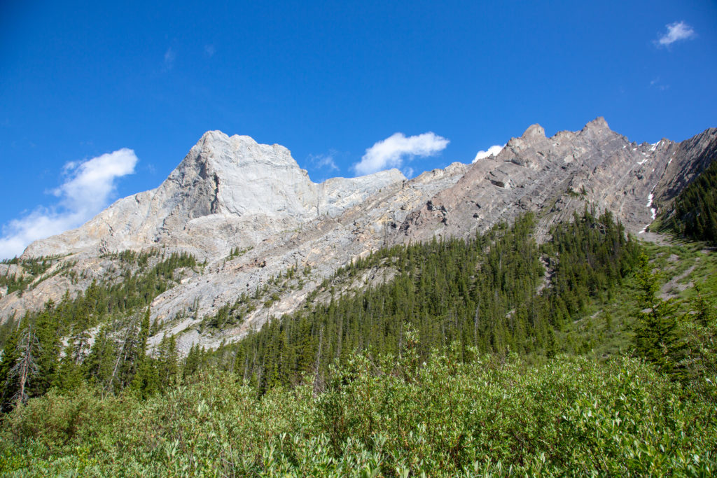
The trail wound its way through the forest, with some small ups, but mostly down. We crossed a small marsh, that was very densely vegetated. It was still early in the day, and the sun had not evaporated the morning dew, so I got completely soaked passing through the marsh. Luckily it was warm out and my clothes were quick dry.
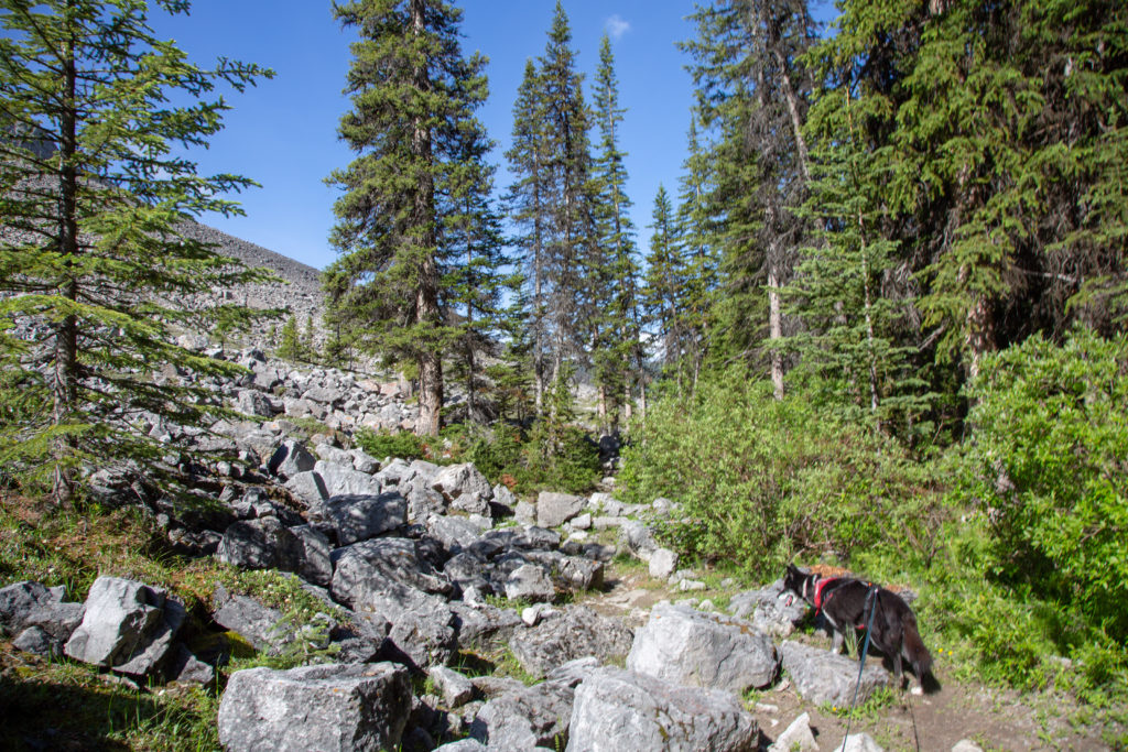
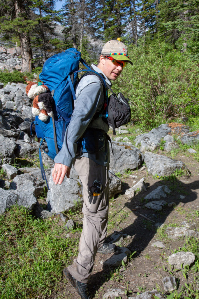
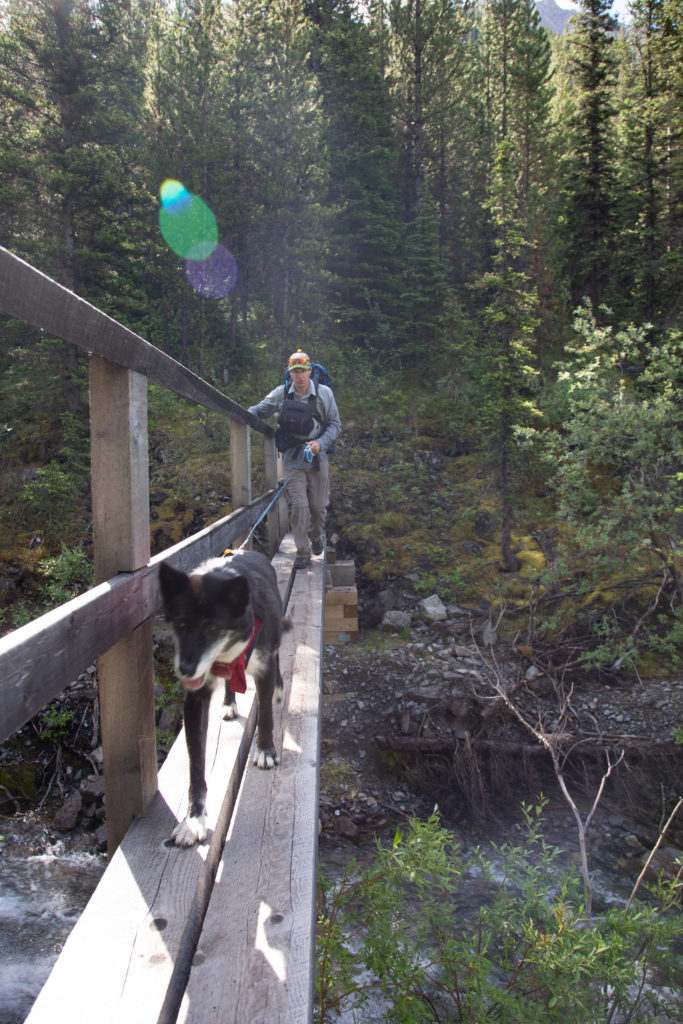
The trail continued to lose elevation steadily for the next km, but then abruptly dropped 100 m in just 0.5 km, bringing us to a bridge over Johnston Creek. We had traveled 5 km from the top of the pass in 1 hr 20 minutes. We had covered a total of 10 km in 3 hrs 15 minutes. Volcano quickly crossed the bridge, her bridge crossings have improved a lot since she first crossed a bridge hiking Heart Creek and almost fell off.
It is one kilometer from the bridge to Larry’s Camp Campground, we quickly arrived at the campground and decided to take our packs off and enjoyed a rest beside the fast flowing creek.
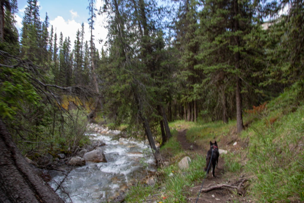
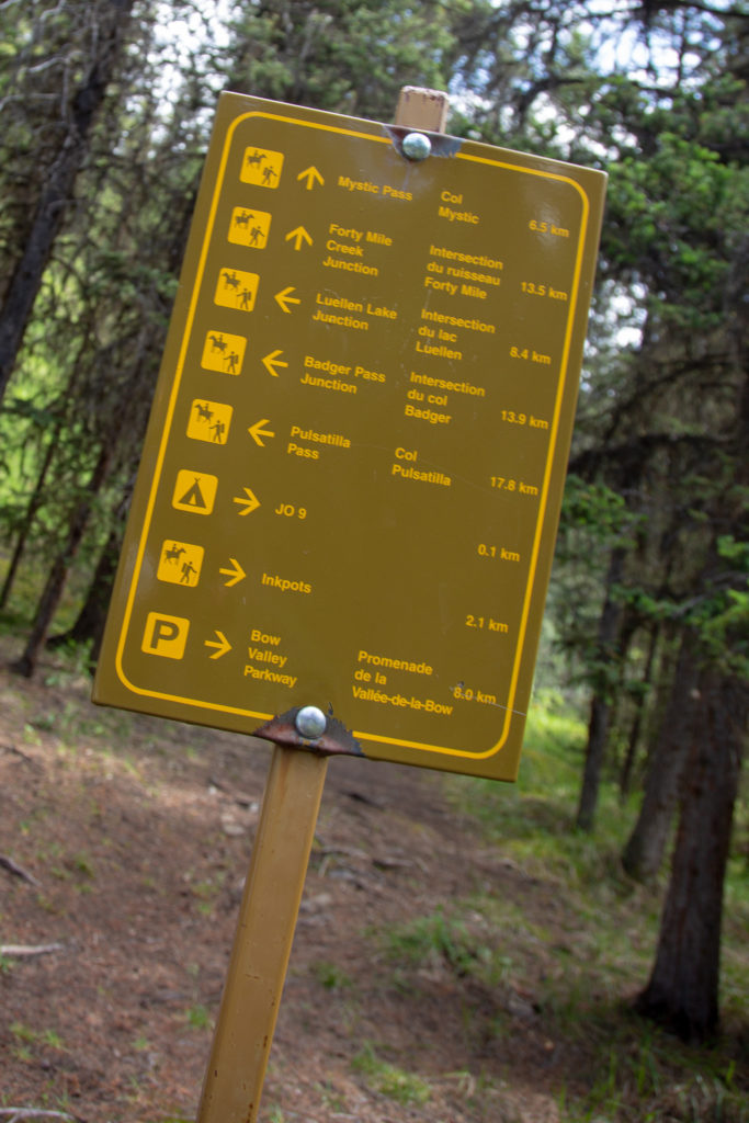
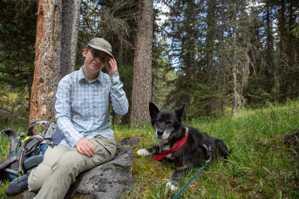
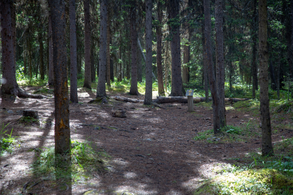
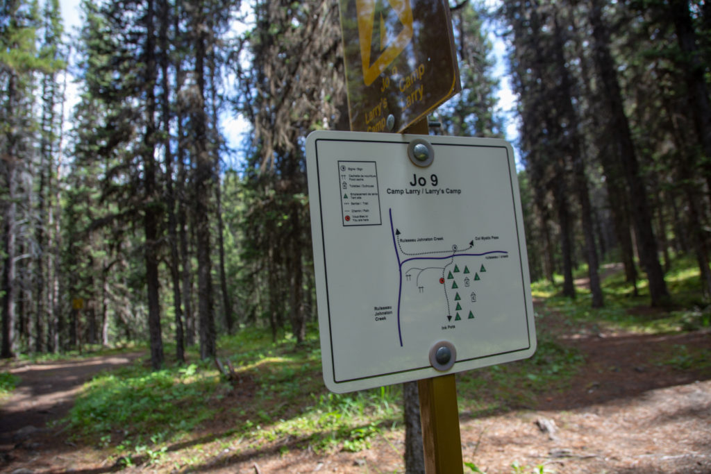
After a 15 minute break we headed across the bridge to where the campsites were. The trail leading away from camp was very wide and smooth. The tail weaved its way through the forest, closely following the creek. It is about 2 km to the Ink Pots, where we were planning on having lunch. As we approached the Ink Pots, the trail become more open, allowing us views of the mountains, but also of the threatening skies that lay to the west.
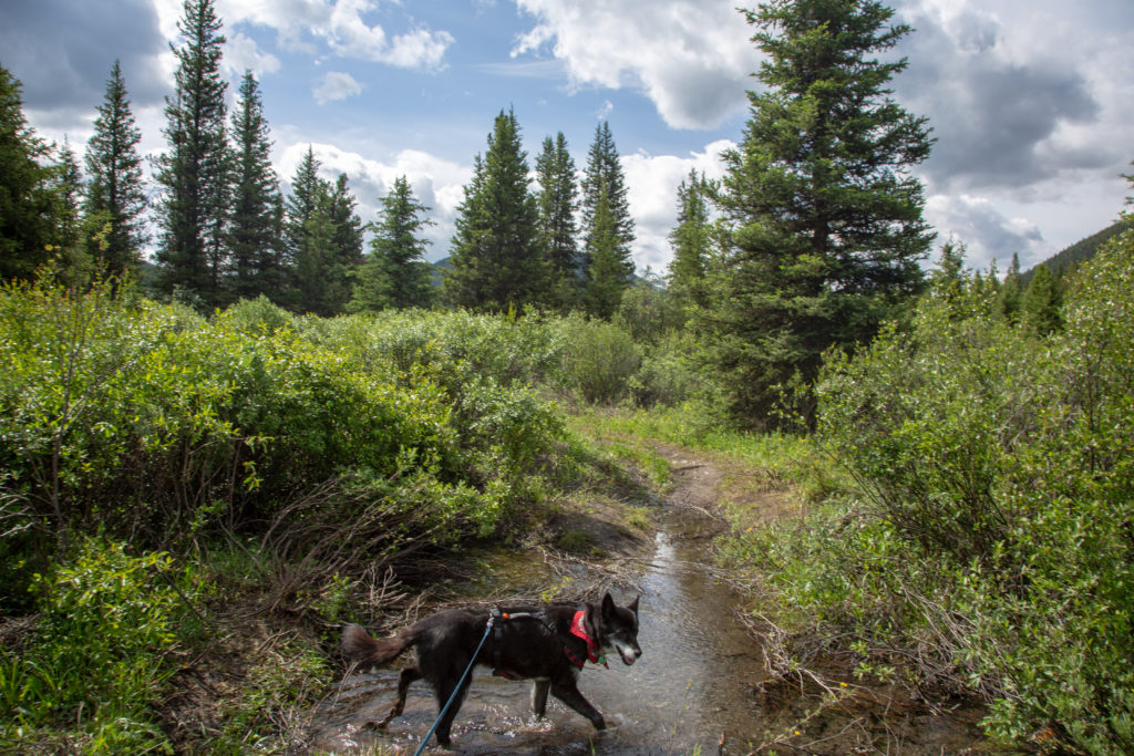
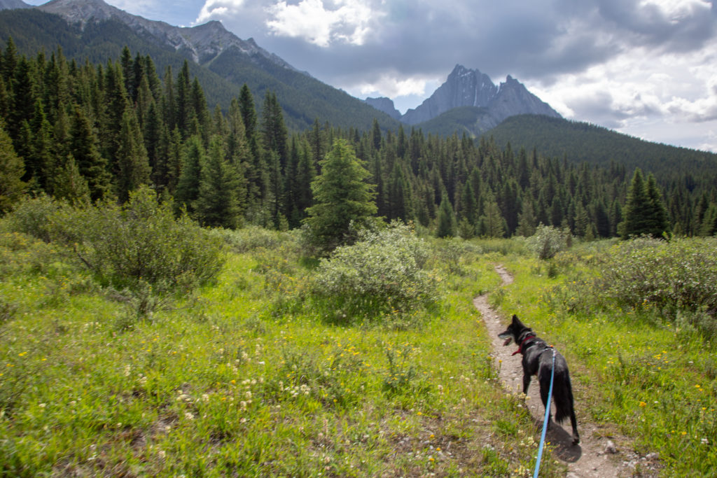
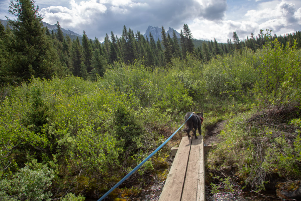
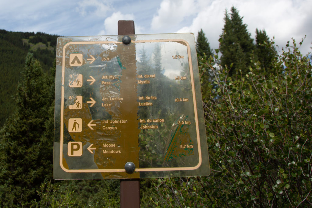
We approached the Ink Pots at 11:40 am, we decided to have lunch before crossing the bridge to the Ink Pots. We could see that there were crowds of people visiting the Ink Pots, and wanted a quieter place for to enjoy our lunch. There was a dry stream bed with a plank over it, acting as a bridge. During the spring, there would be water flowing, but now it was dry. With no water in the stream bed, it looked like a bench, so we decided to eat out lunch on the “bench” away from the crowds of people.
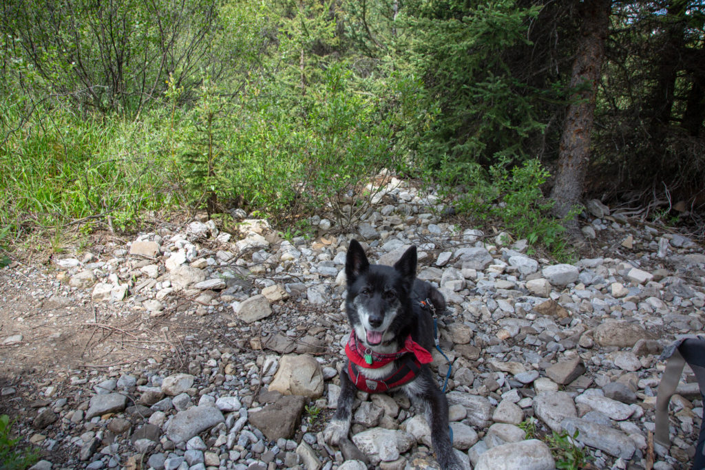
Quite a few groups passed by as we ate our lunch, most intent on exploring just a little further towards Larry’s Camp. We did meet a young couple who had overly ambitious plans to hike to Mystic Lake and go fishing, before hiking back the entire way to their car. It was noon, and they had about 30 km of hiking left to do, and only the guy had a pack and it was small. They also had no idea of distances, as they thought that they had done 13 km, when in fact from the road it is only about 7 km. I did suggest that it was a long way and with a big climb, but they seemed determined to do keep going. Micah and I both agreed that the trip would probably peter out up the climb to the pass. I did remember later that there where signs prohibiting fishing at Mystic Lake.
We finished our lunch, so we packed up and set sail for the parking lot. We have been to the Ink Pots many times in the past, so we hiked on by without stopping for look. There is a a bit of climbing as you leave the Ink Pots, about 100 m in 1.5 km, not a big deal, but it had been pretty flat for the last while, and we had just had lunch, so we were both pretty energerized .
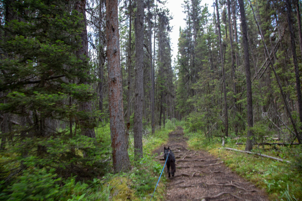
We met a group of about 10 young people who were heading out on a 20 day trip, Micah was jealous. Later we met a group of young women heading to Larry’s Camp. There are lots of people who visit the Ink Pots, and they mostly come from Johnston Canyon. By parking the car at Moose Meadows, we avoided the most of the crowds viewing the canyon by when we veered away from the main trail on the Moose Meadows cut off, giving us a fairly peaceful last 3 km to the car
We arrived back at the car, at 1:30 pm, 6 hrs and 5 min after we left the campsite, I had lots of time to make my family dinner.
