
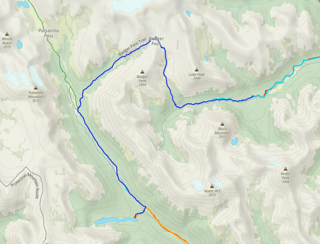
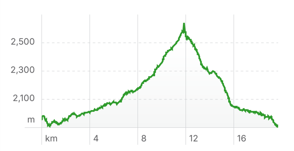
Day 2 Luellen Lake CG to Block Lakes Jnc CG, 19.7 km, 694 m elevation gain, 385 m elevation loss, 9 hrs 36 min.
It was a pretty uneventful morning at Luellen Lake. I was up around 7 am taking photos and having a relaxed time. Ken and I had already had a discussion last evening about what time to break camp.
Ken “What time you want to leave?”
Me “7:30 am…”
Ken ” How about 9?”
Me “8”
Ken “Why so early? 8:30?”
Me “K”
We hit the trail at 8:40 am.
Ken and I have different time clocks. Ken loves to sleep in. Even at home once I suggested going for a run before 9 am on a weekend and Ken said he would take a pass. When hiking in a group you had better be prepared to compromise. We had a medium length day and plenty of daylight so leaving early was not a necessity.
I was sharing my tent with Spencer and we discovered that we both had extra wide sleeping pads and combined they took up the entire floor space and then some. The width of my Zpacks tent is 45″, extra wide sleeping pads are 25″. Two times 25″ is greater than 45″ which made for a tight fit. Basically our entire floor was one great big sleeping pad. I love my extra wide sleeping pad but I decided for future trips I would get a regular sized pad and use the extra wide only when camping solo.
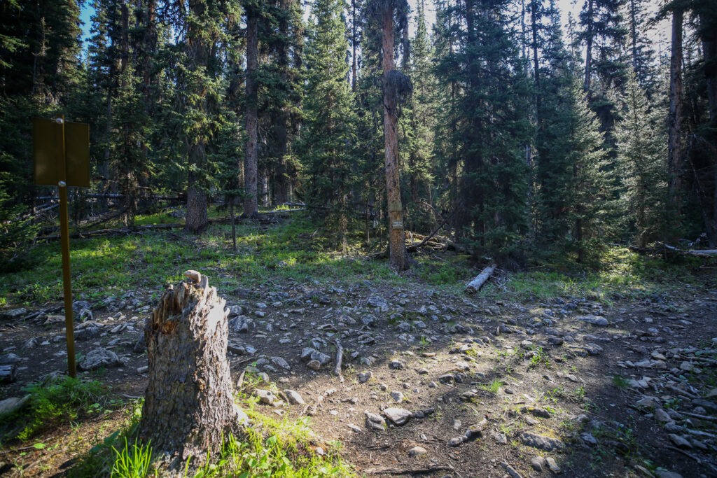
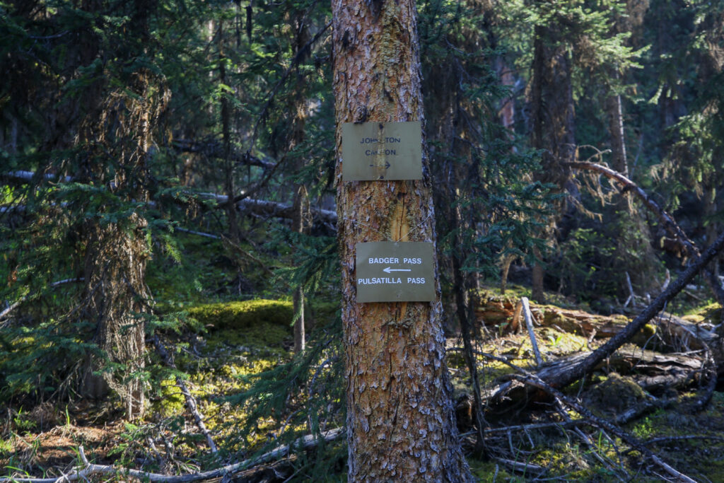
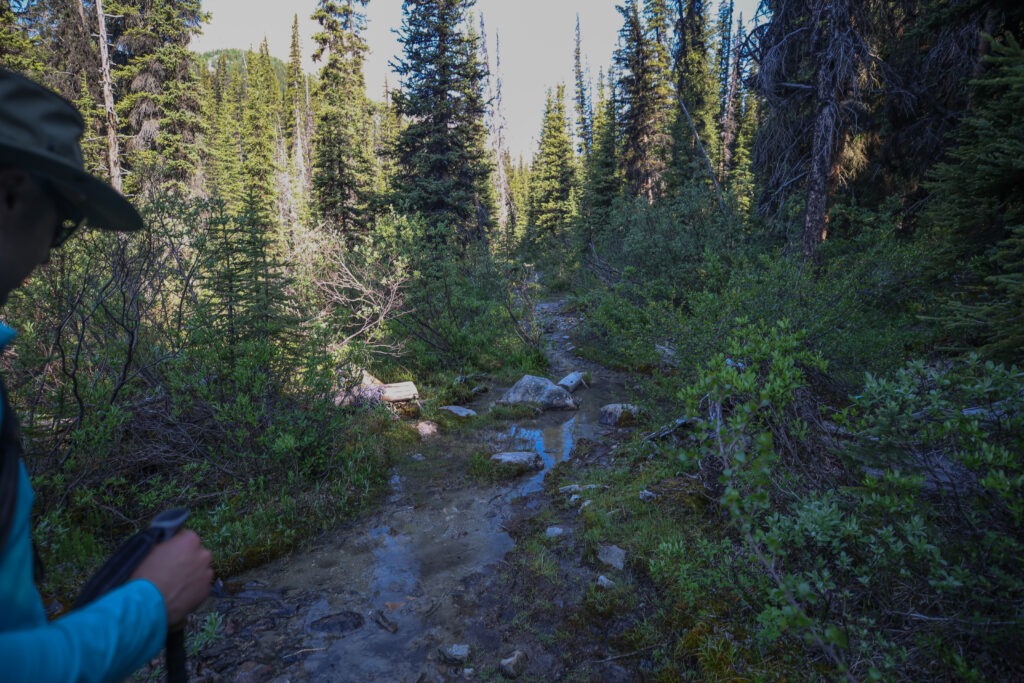
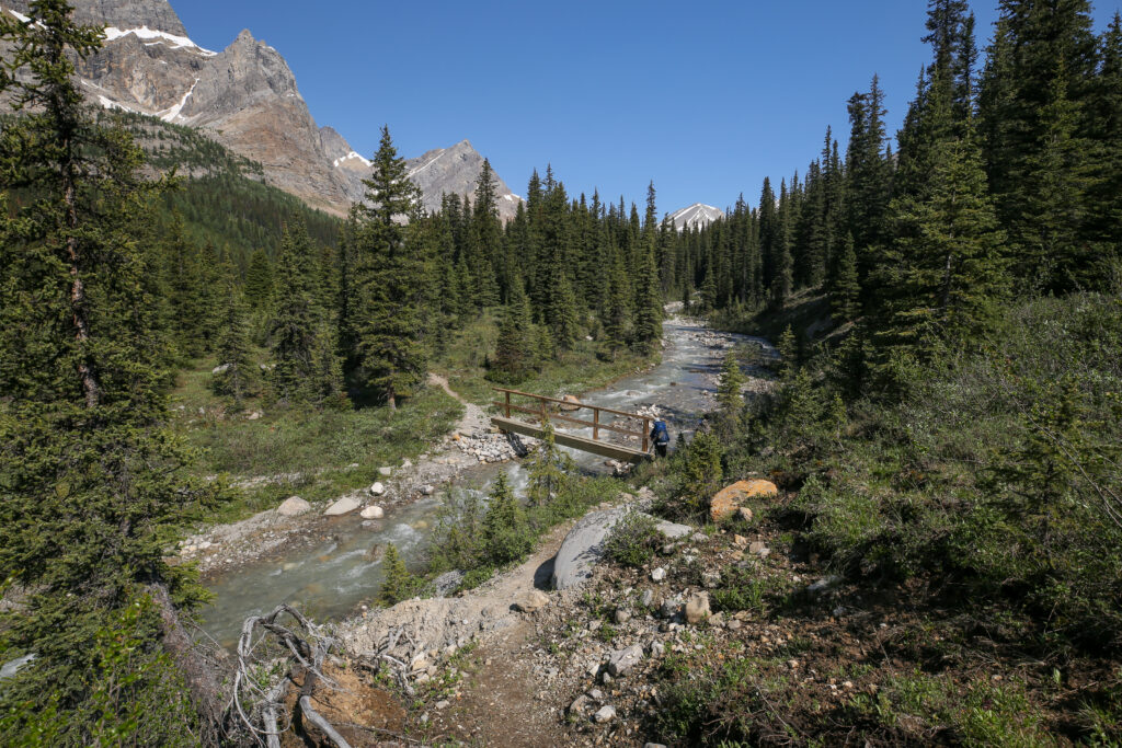
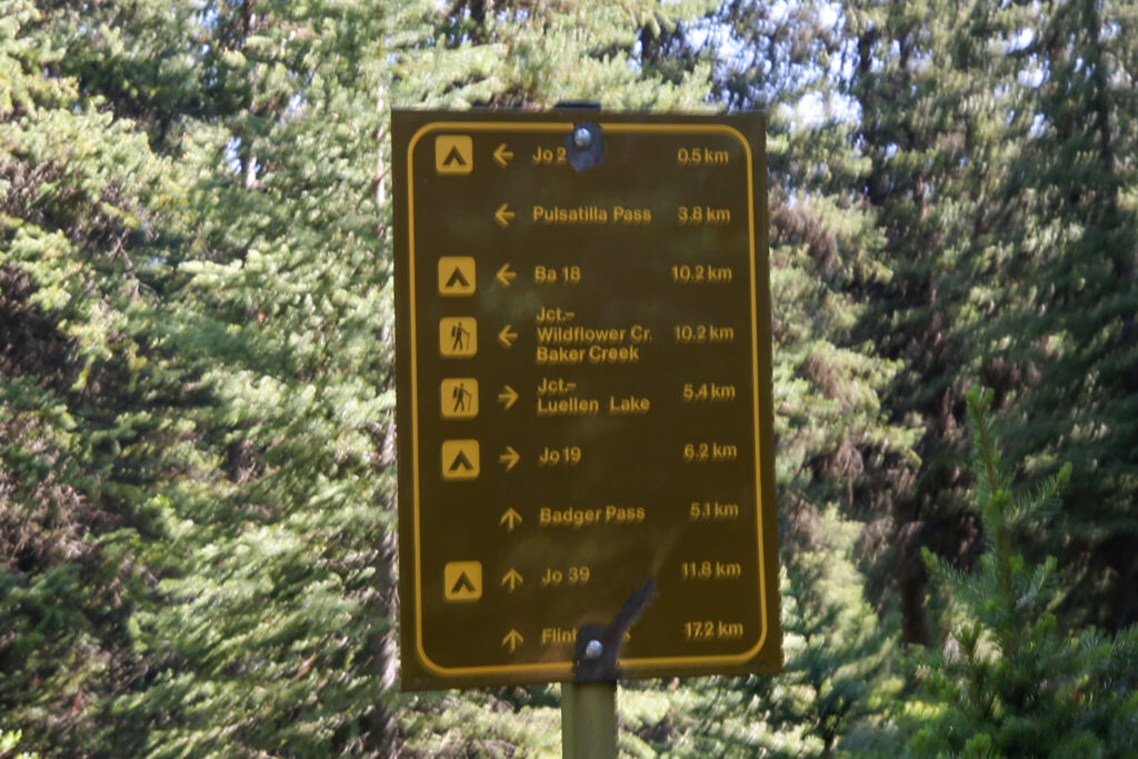
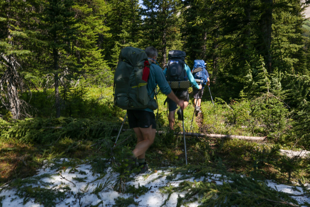
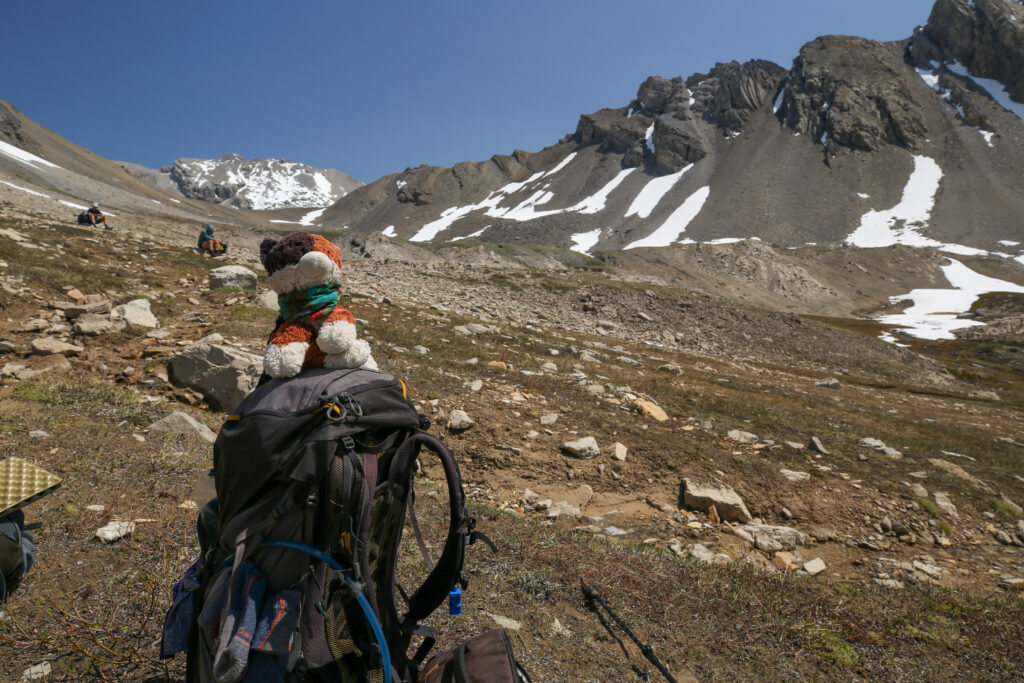
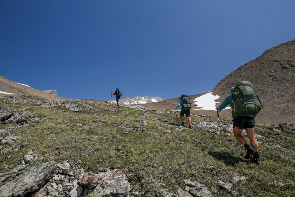
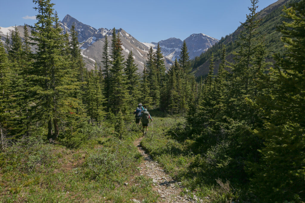
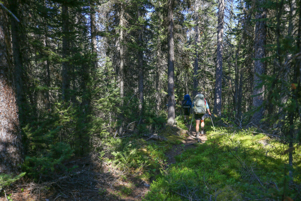
We headed out on the trail at 8:38 am. The day was promising to be warm with clear blue skies. We were hopefully headed up into the cooler temperatures of the alpine as we made our way to Badger pass. Badger Pass was one the highlights of the trip and our high point at 2639 m. It took a bit under 20 minutes to make our way back to the main trail. Don led us out of camp. The trail starts with a quick little rise to a small plateau followed by a drop down to Johnston Creek. After crossing the bridge we retraced our steps back up the hill past the biffy we saw yesterday arriving quickly back at the junction with the main trail. It takes about 13 minutes to arrive back at the creek follow by a 5-6 minute walk up the hill to the junction.
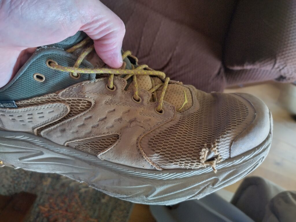
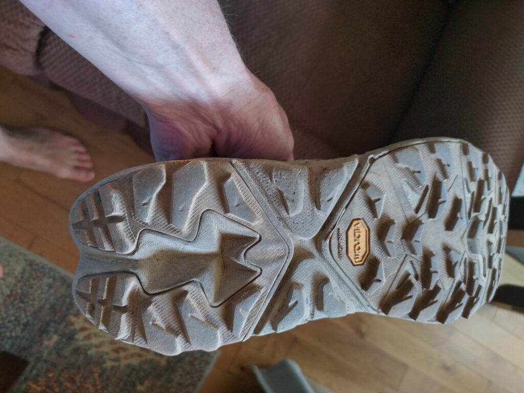
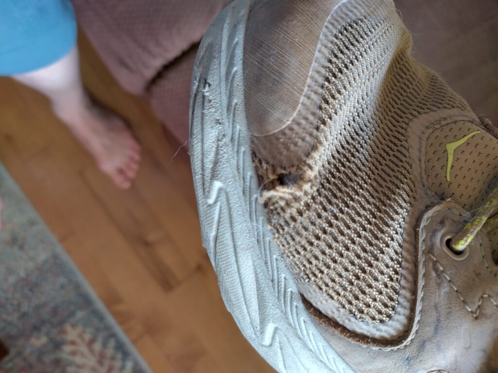
It was bitter sweet arriving at the main trail. While the trail would be taking me to places I had not seen before the trail would also be taking Don back to his car. Don some trips planned right after ours that he ended up having to cancel but he was able to return to the area in the fall to do a trip to the Egypt Lake area. Later when I touched base with Don he was back home experimenting with Hoka footwear and the early feedback was all positive. I have been running in Hokas for years and they have been very good for my feet and knees. Full disclosure I was hiking in Hoka Anacapa 2 Low GTX hiking shoes and was quite miffed. My 3 month old shoes were starting to tear in the creases in the toe box to the point I took them to the shoe repair store for a patch. I had only used them since the spring and thought it was too early to be showing signs of wear. While the durability of the shoes is not what I would expect, they fit great and I have never blistered in them. I wrote a review of the shoes on Trailspace.
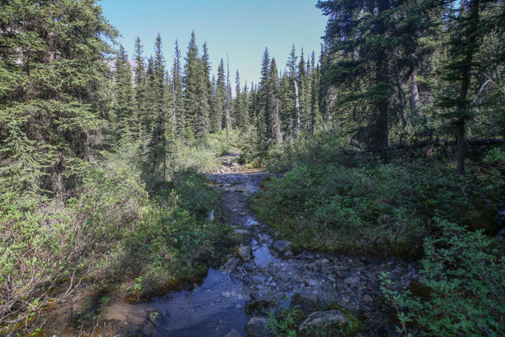
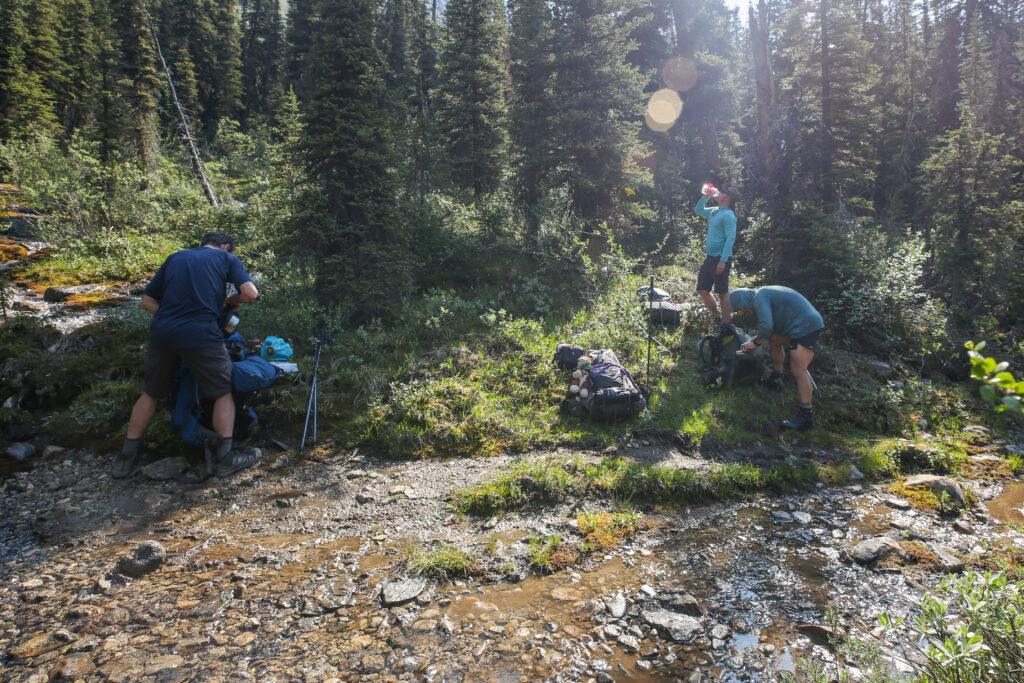
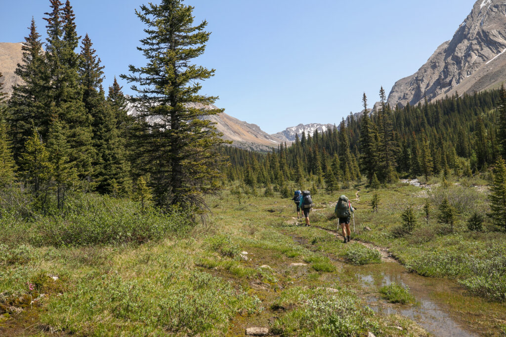
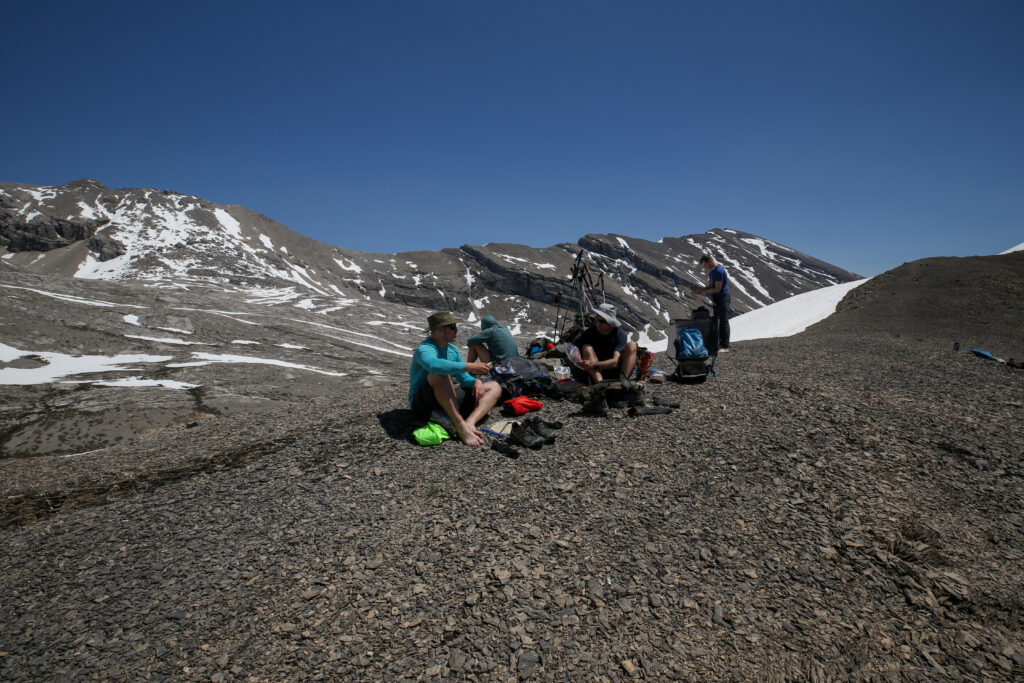
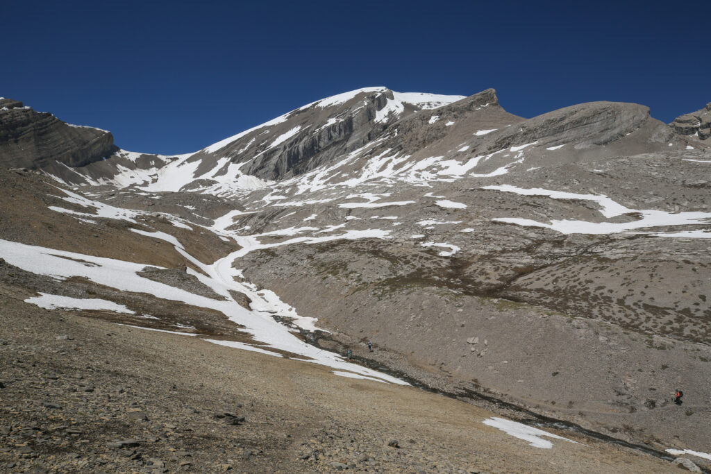
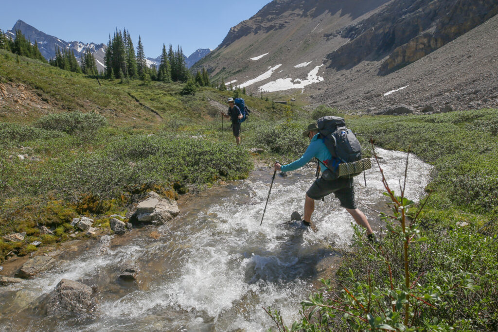
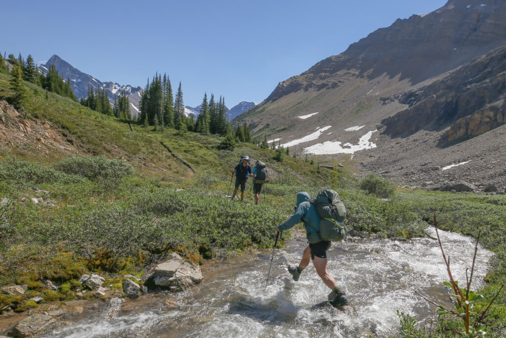
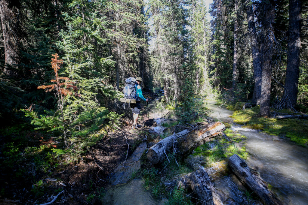
We stopped at 10:25 am after covering just over 5 km to refill with water. With lots of water available on trail we tried to keep our packs as light as possible by refilling with water along the way.
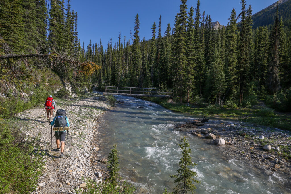
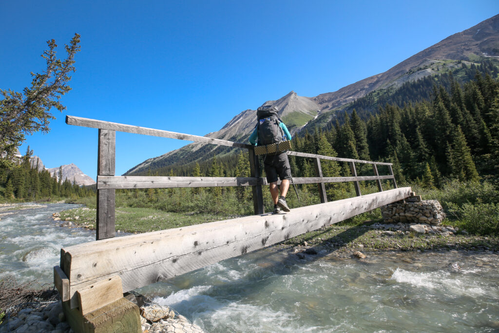
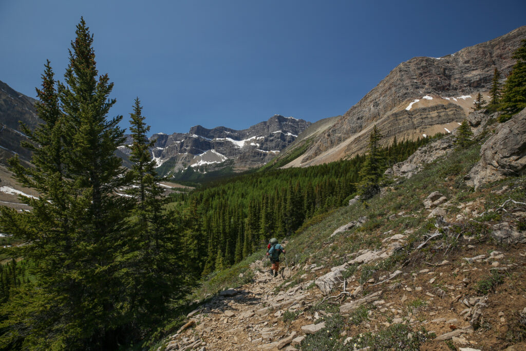
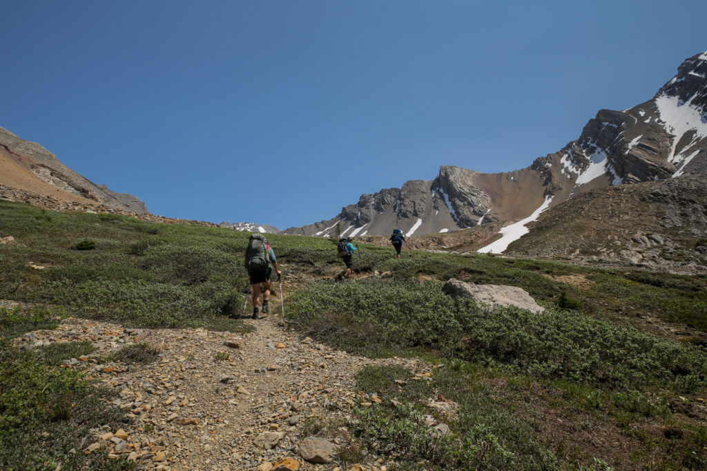
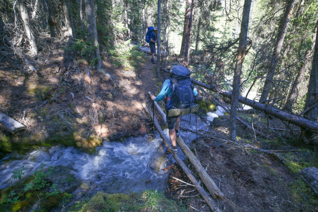
We used the stop have have a little break. We were after all a quarter of the way through the day. We hit the trail again at 10: 50 am. Just 10 minutes later we came to a bridge crossing over the creek draining Badger Pass. This would take us to the north side of the creek which we would follow and cross numerous times on our climb up to Badger Pass.
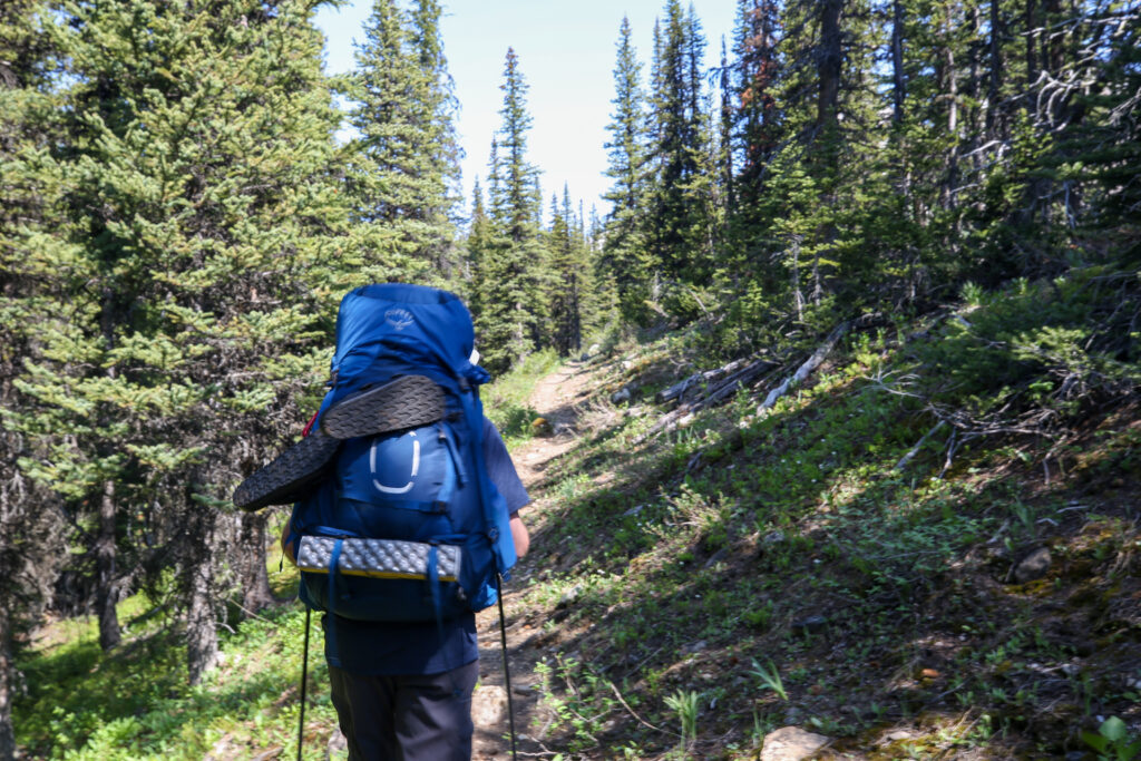
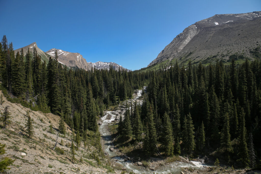
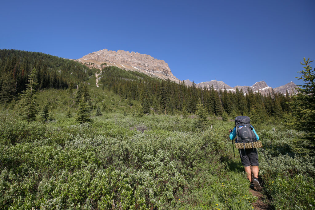
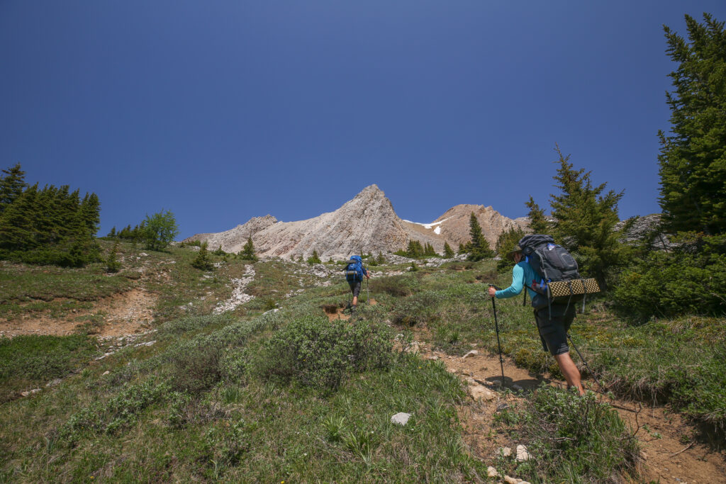
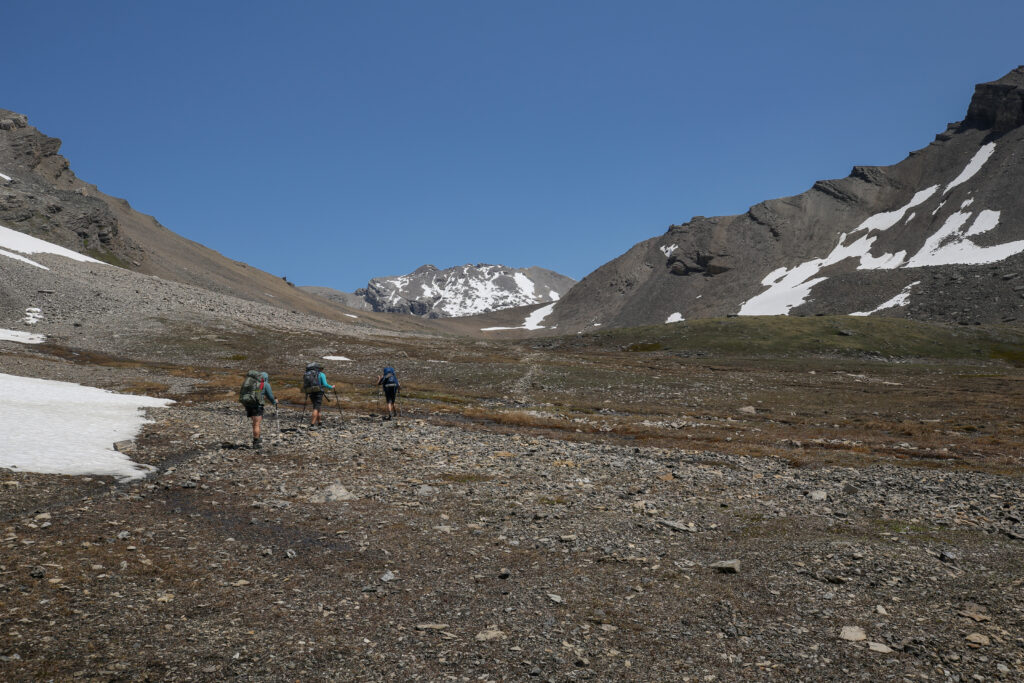
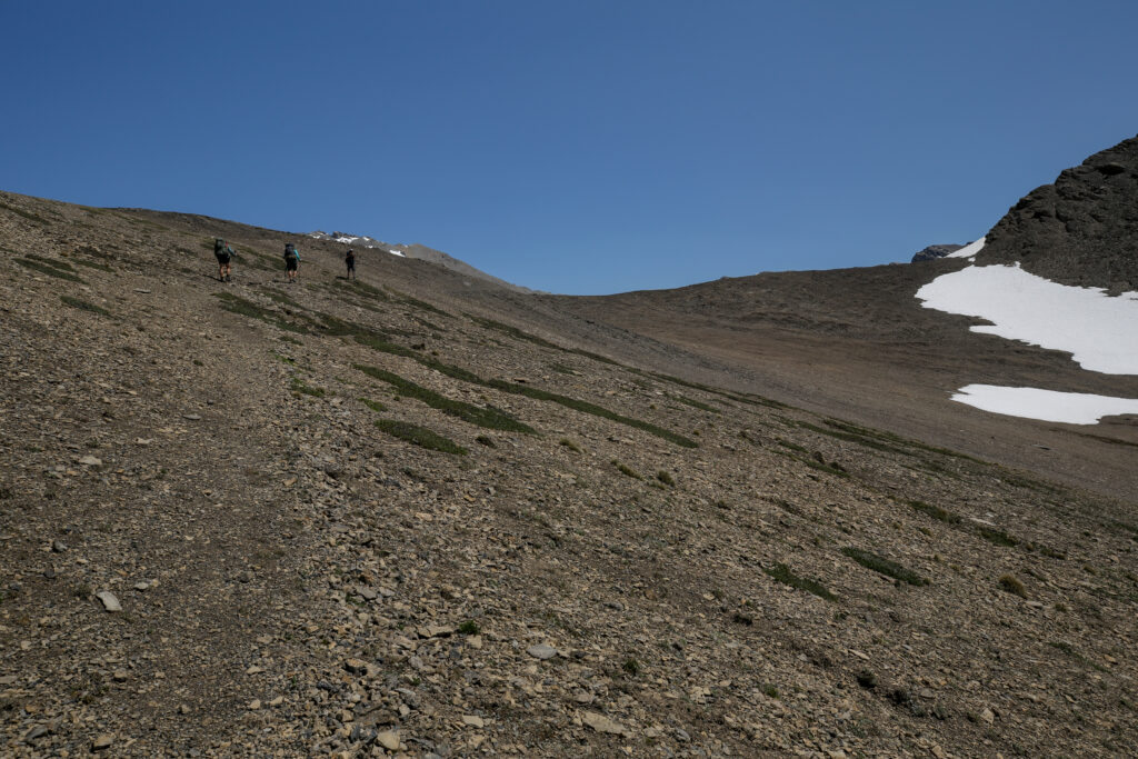
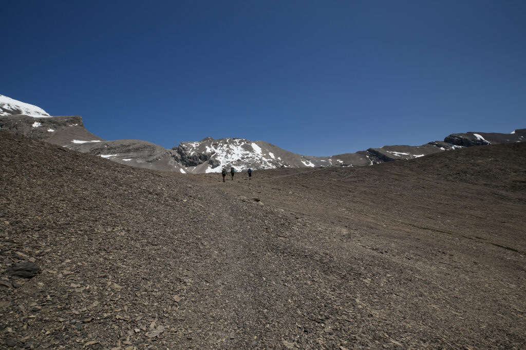
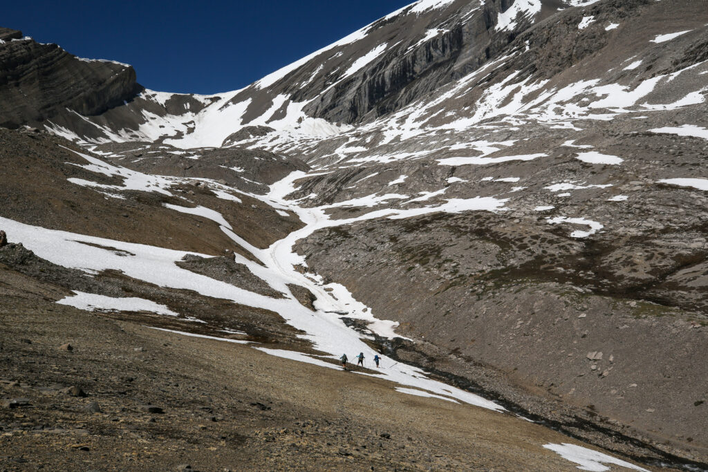
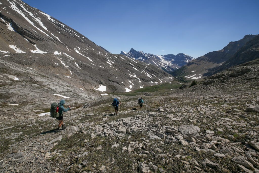
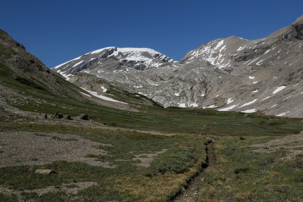
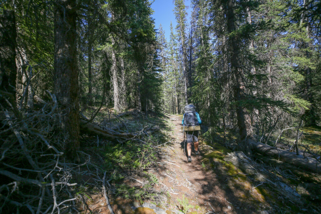
I really enjoyed the hike up to Badger Pass (so much so I would do it again in less than a month). The trail has only two steep sections the first being right at the beginning and the second over a small headwall. Other than those two sections the trail is just a pleasant uphill walk leading to a stunning vista. Looking at the numbers the trail to Badger Pass averages 88 m/km (elevation/distance) over 5 km. To compare Burgess Pass on the Great Divide Trail in Yoho NP averages 135 m/km over 7 km making the ascent to Burgess both steeper and longer.
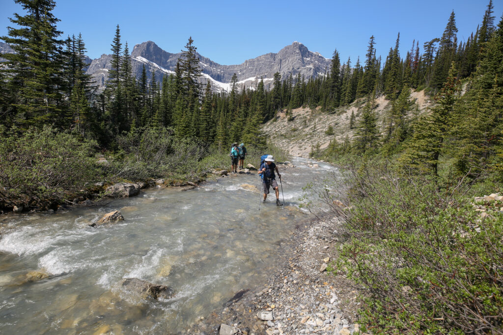
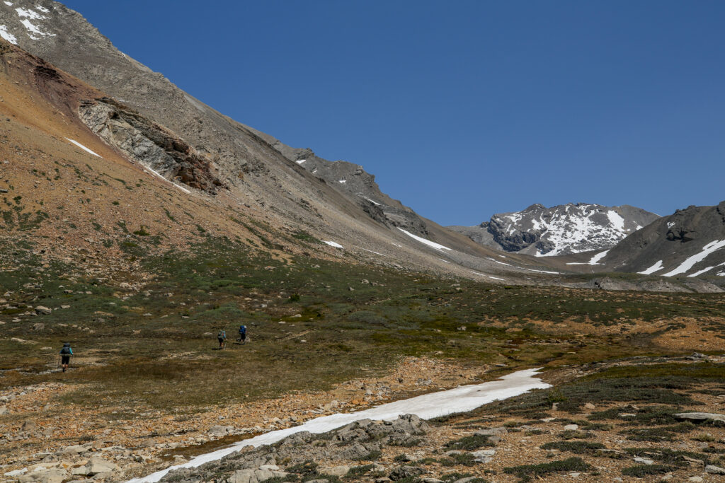
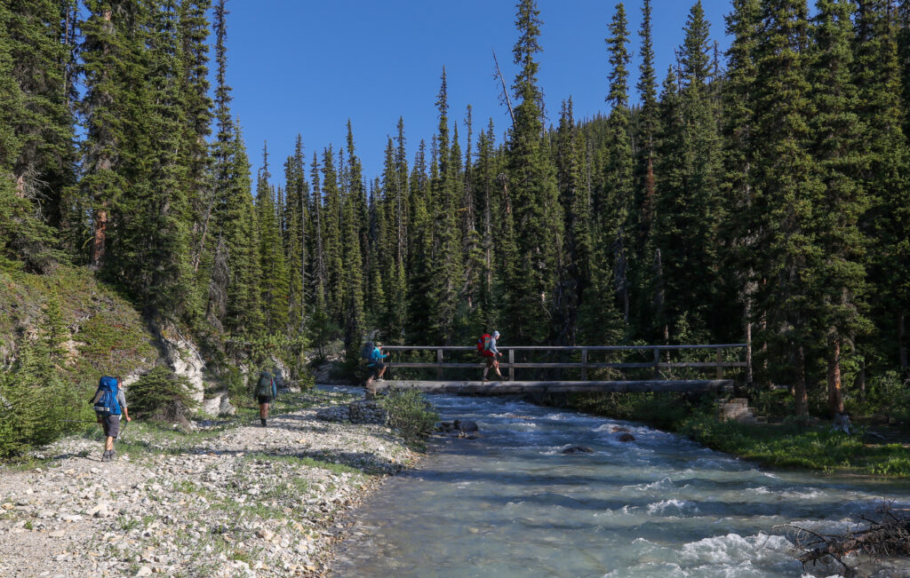
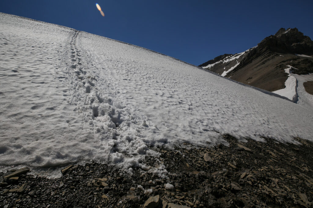
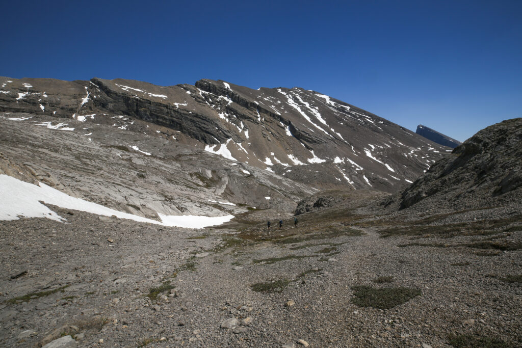
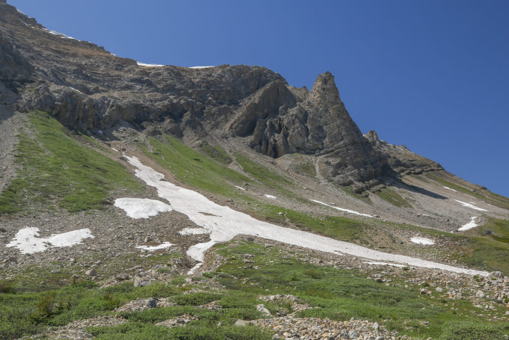
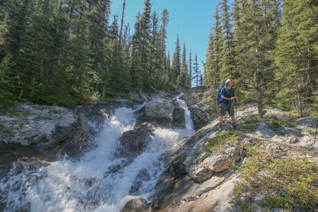
Just 7 minutes after crossing the creek we find ourselves plunging across the creek again. We found parts of an old trail that does traverse along the north (right side of photo) side of the creek. But years ago there must have been a small landslide that washed part of the trail away. We could see remnants of the old trail when looking down the creek. After crossing the creek we all had water sloshing around in our assorted footwear so we stopped to drain the water out of our footwear and wring out our socks.
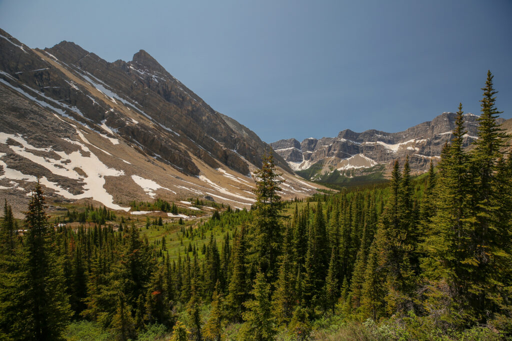
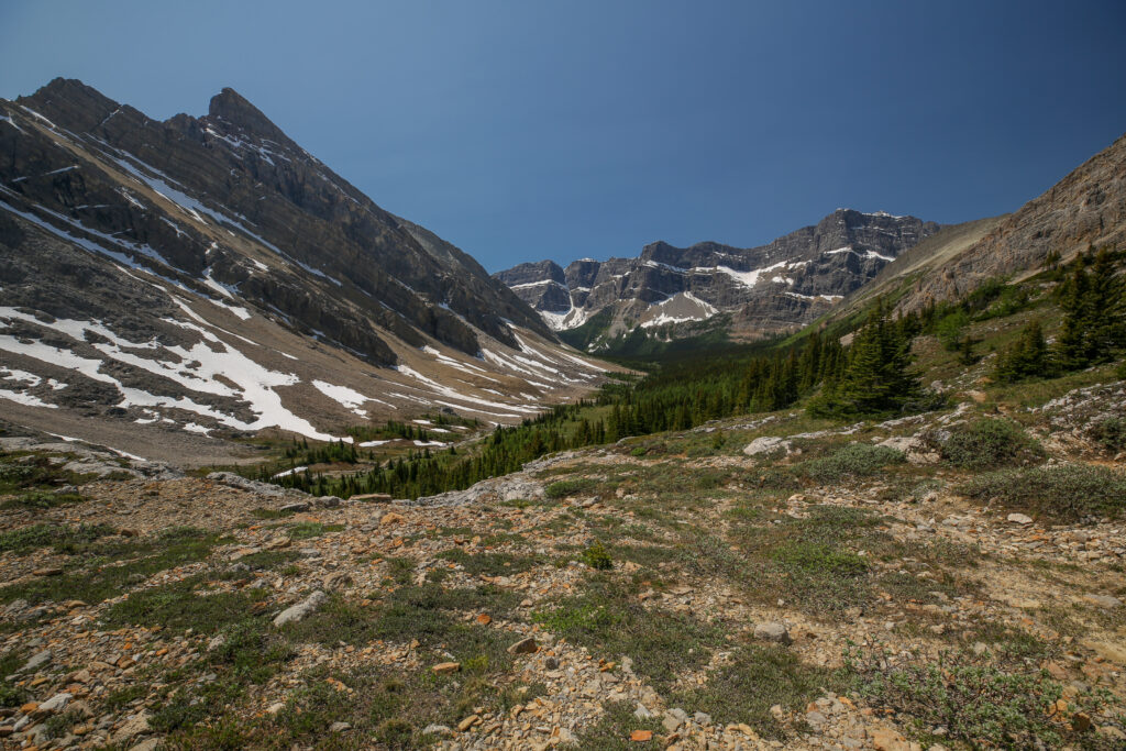
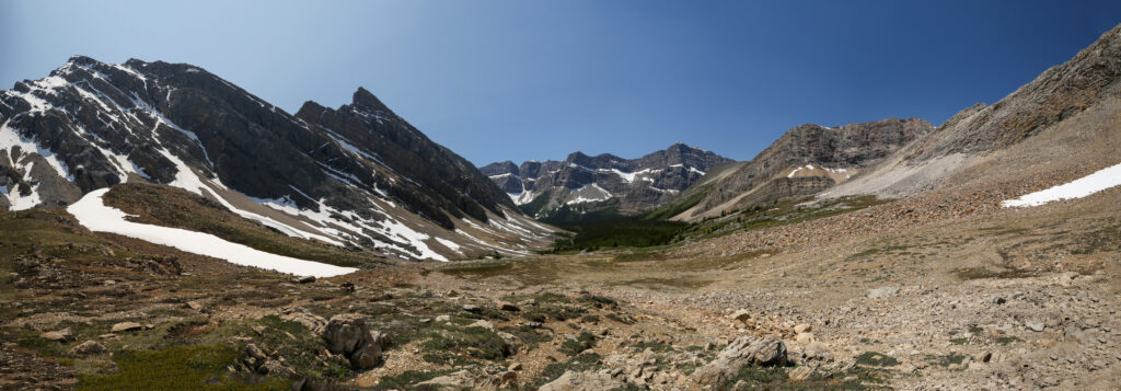
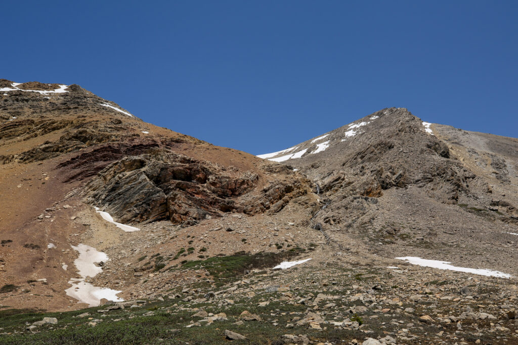
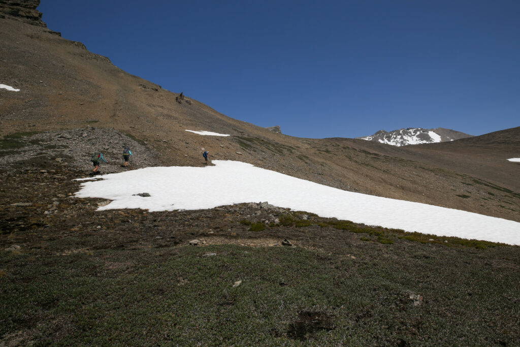
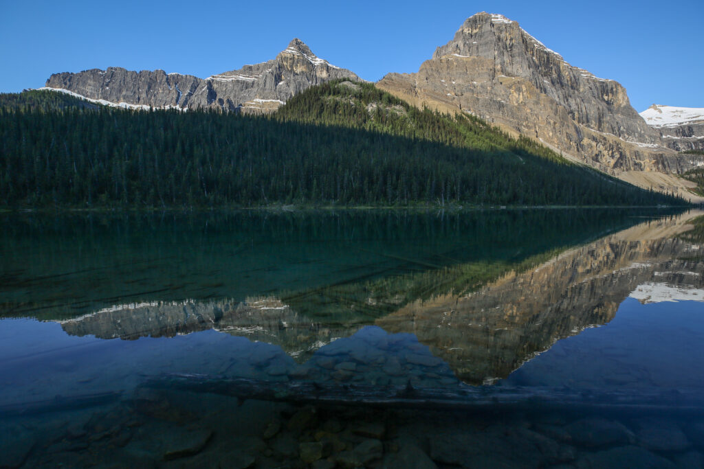
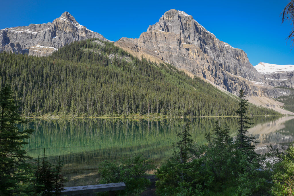
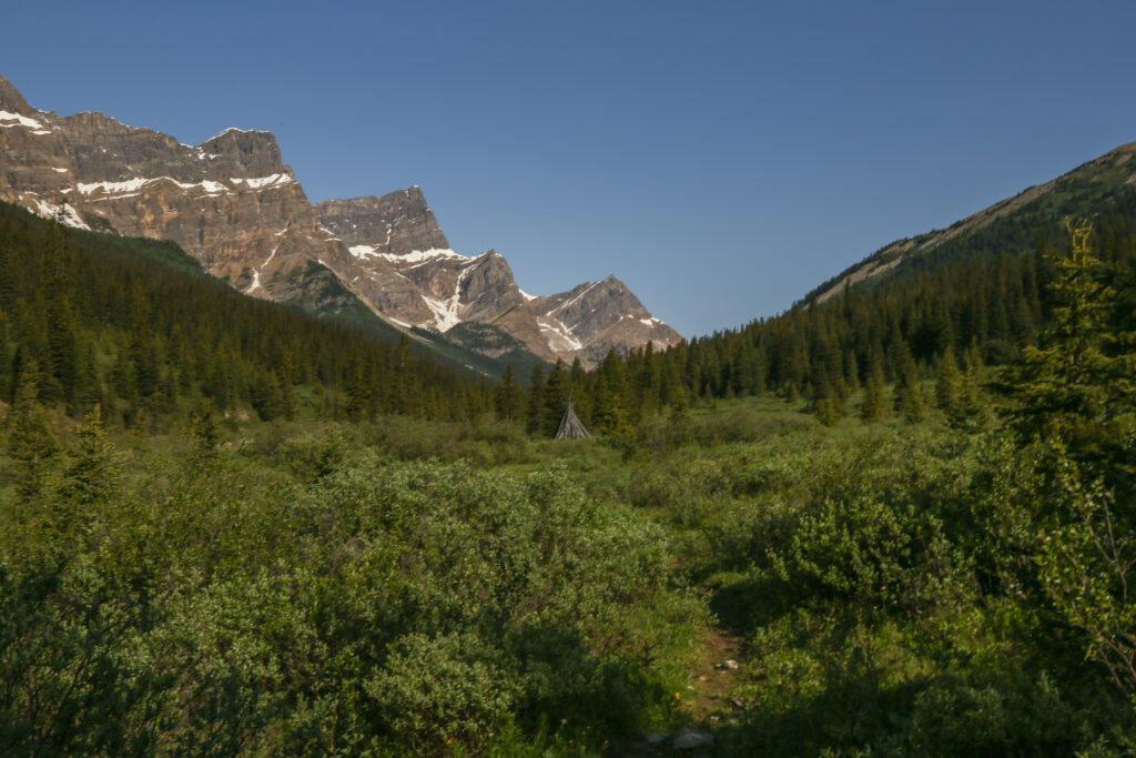
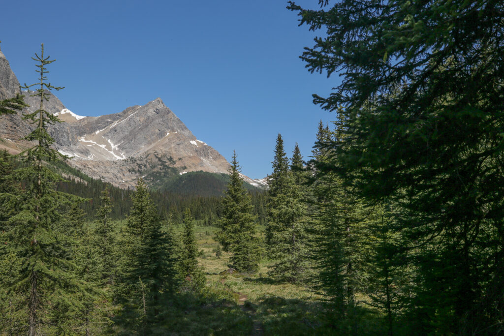
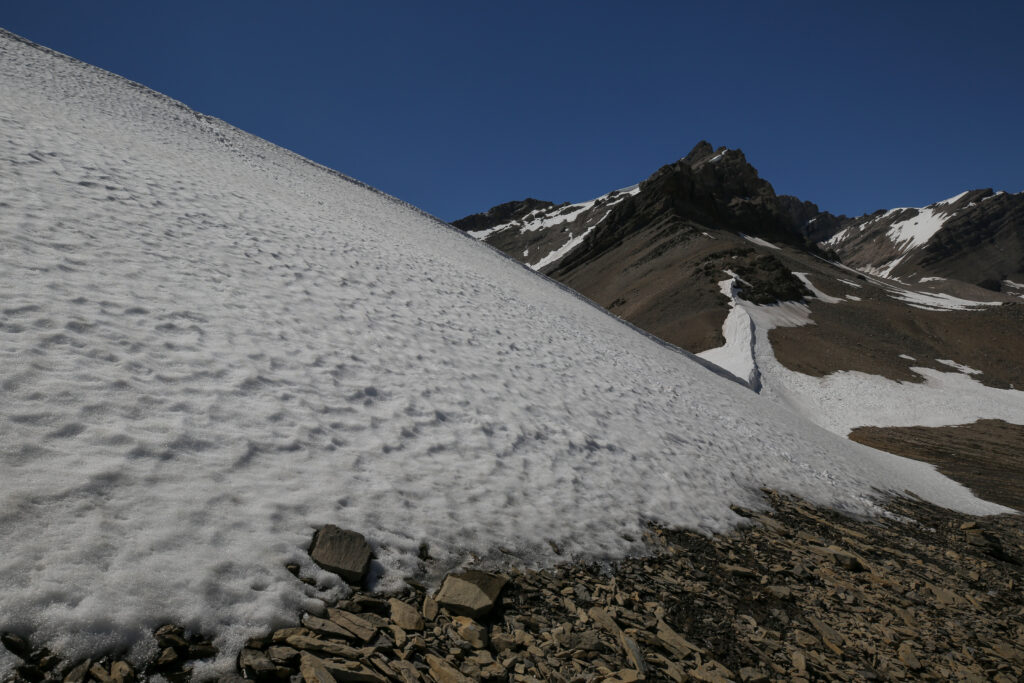
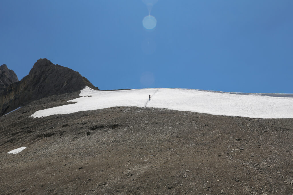
In the photo above if you look at the mountains in the far distance, the little snow shaped V on the left is Protection Mt, which is located north of Castle Mt on the Trans Canada Highway. Even though the two mountains are beside each other, Protection Mt is classified in the Front Ranges and Castle Mt is part of the Main Ranges of the Rocky Mountains. There is a fault running under Castle Mt which separates the two ranges.
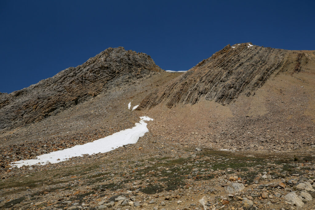
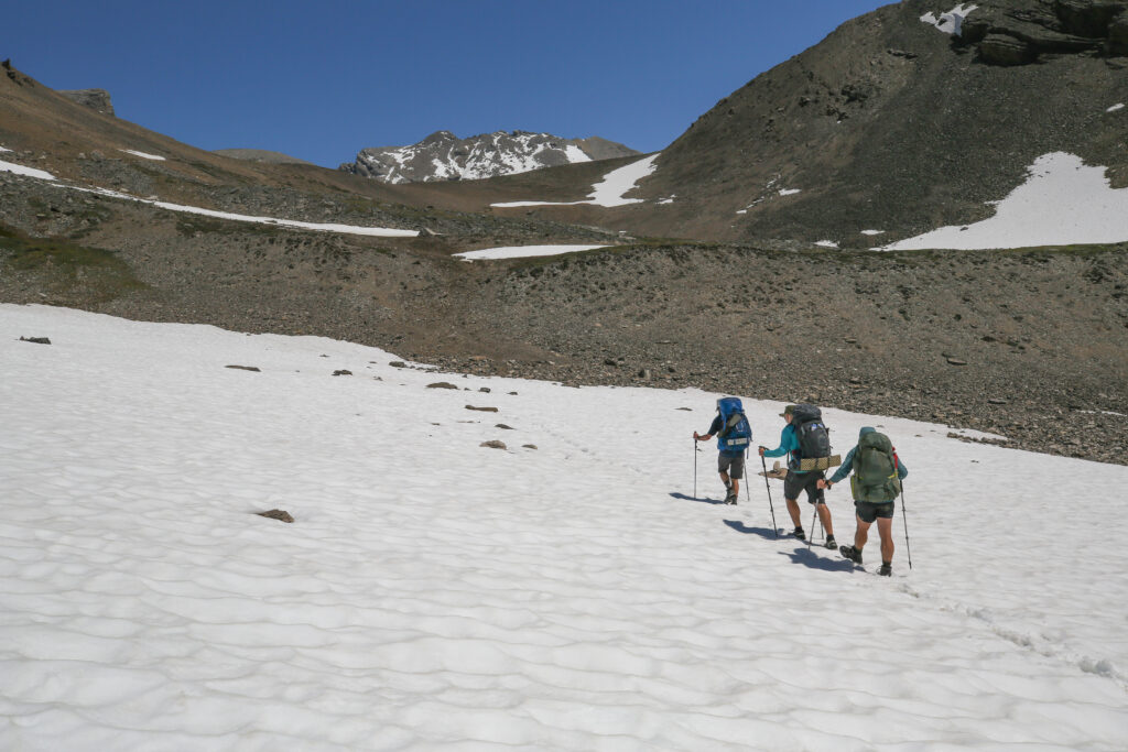
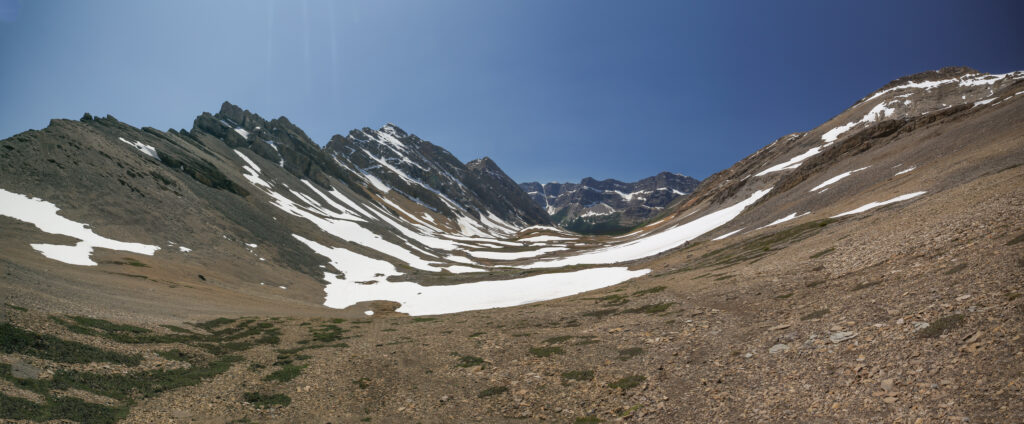
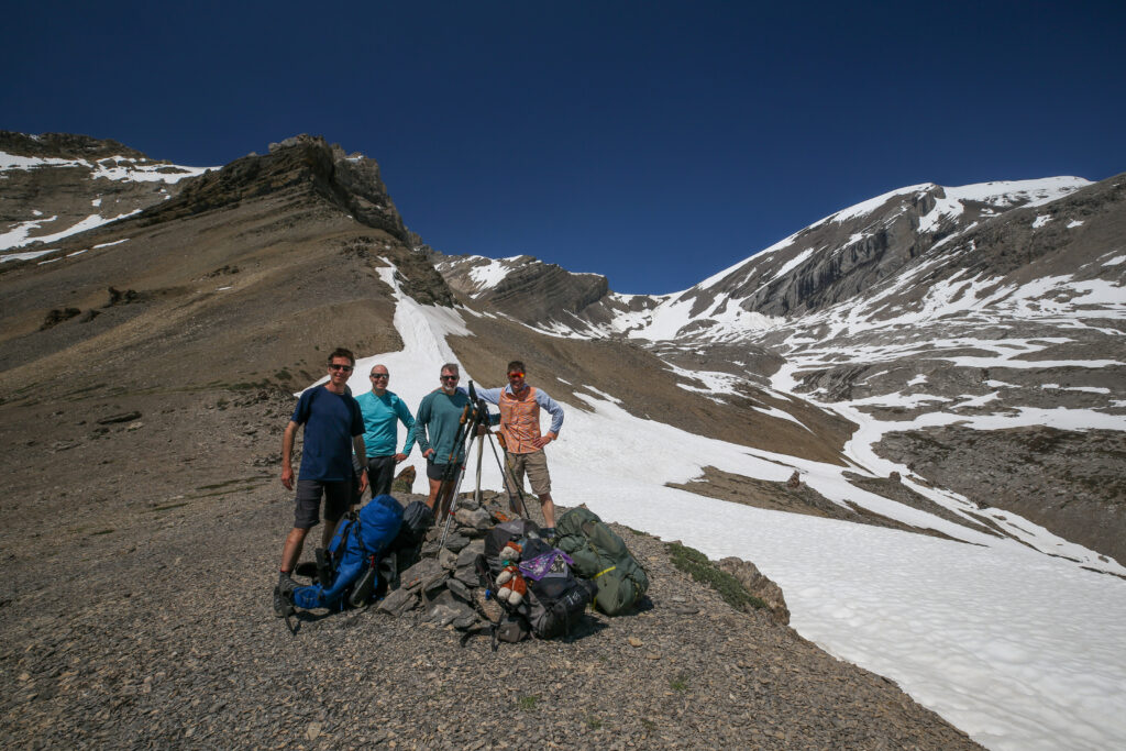
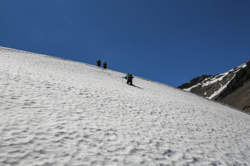
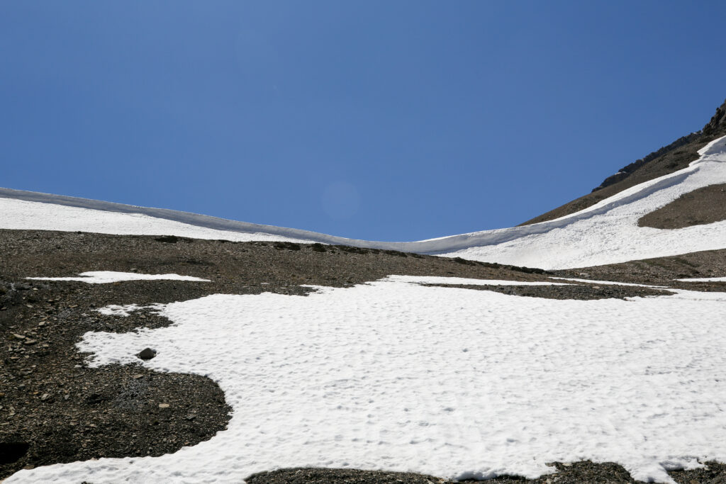
We arrived at Badger Pass at about 1:45 pm. We had hiked 12.5 km and gained 685 m of elevation in 5 hrs 25 min. It was all smiles at the pass. After the initial exhilaration of getting to the pass our thoughts very quickly turned to how are we going to get over the pesky cornice.
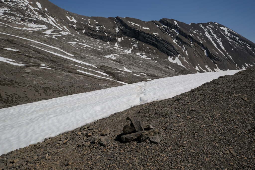
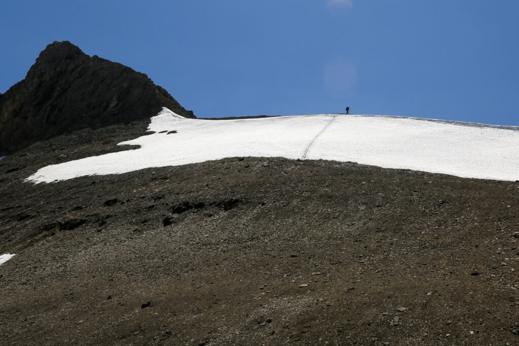
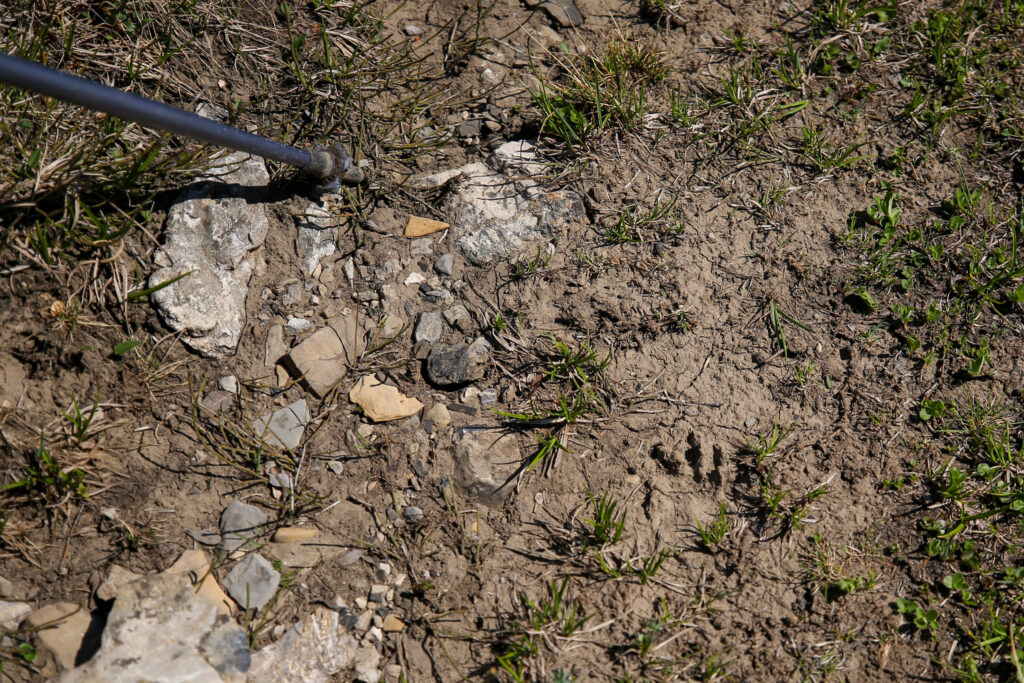
There was plenty of discussion on how to navigate the cornice. No one was enthusiastic about my idea to walk around the cornice. Chris and I ventured over to the edge to check out the footprints in the above photo. We were very cautious of the fact that the cornice could have developed an unstable overhang in the heat. We knew we needed to get close to the edge to look over to see what was on the other side but at the same time we wanted to stay safe. We had come up with a plan to attach my camera to the tripod, set the camera on video and extend the camera over the edge to record video of the other side so we could safely see what was on the other side. Then this happened……..
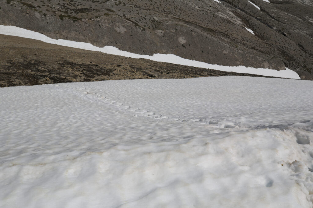
We chatted with the loan hiker for a couple minutes then went over to the edge of the cornice to see what was there. There was in fact no cornice but a very steep snow slope with a very definitive trail stepped into the snow. The way down was very clear we could use the foot steps already dug into the snow to walk backwards down the snow field to the gravel slope below.
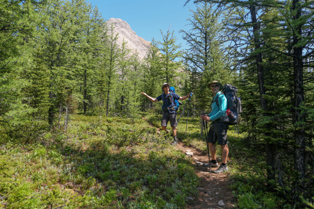
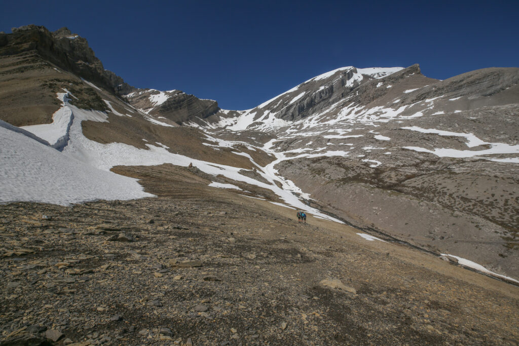
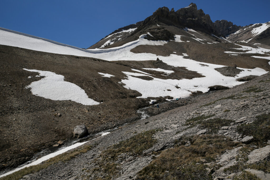
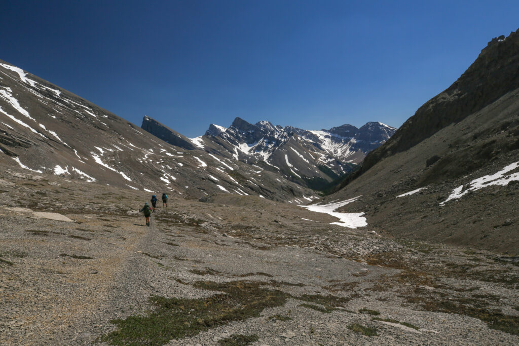
One thing that has always intrigued me about Badger Pass is that at the pass the valleys intersect at 90 degrees. Most valleys are much more linear in the their alignment. I actually cannot think of another pass I have hiked over that had perpendicular valleys.
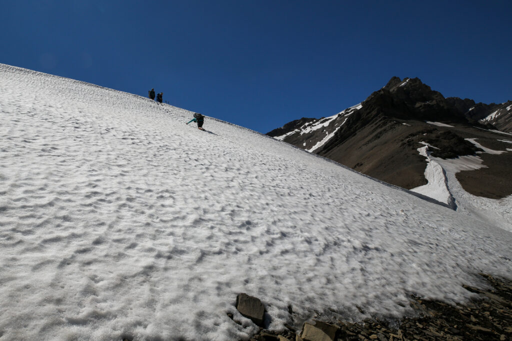
All told we spent a little over an hour at Badger Pass. The elevation at Badger Pass took the heat off and with no wind it was extremely pleasant just to hang around. Adding in the spectacular views in every direction why would we be in a rush to leave? We knew that the majority of the rest of the day would be descending. We put in all that work to get to this pass we were going to get maximum enjoyment from it. At about 2:35 pm we started to pack up to head down. Now the fun was about to begin. We knew the stairs were our way down, but how hard, dangerous would it be? I volunteered to go first. I sort of felt it was my responsibility to go first as it was my idea to do the hike. Having two hiking poles would have been ideal but I only had one. I carefully turned around so that I was facing the snow and gingerly put my feet into the first foot holes. With one arm I stabbed my pole in the snow and with the other arm I jammed my fist into the snow as hard as I could. I moved slowly down the slope maintaining three points of contact at all times. My fist did start to get cold so I had to switch hands part way down. Except for it being a slow process the descent was quite easy. In a few minutes I found myself at the bottom standing in a couple of inches of muck. Next up was Spencer.
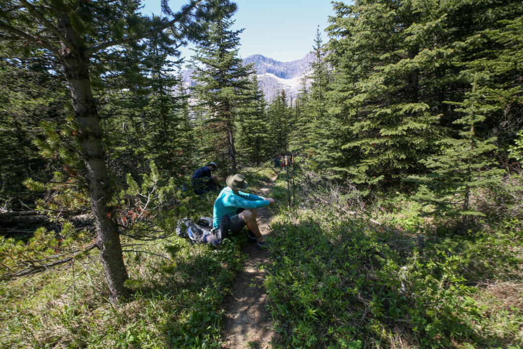
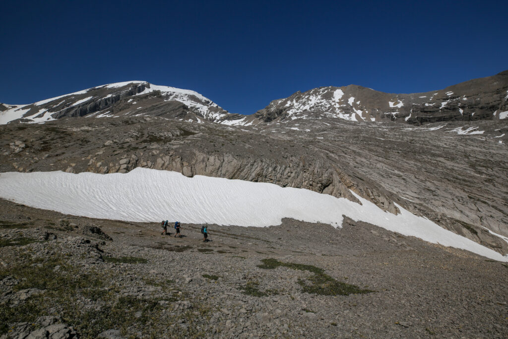
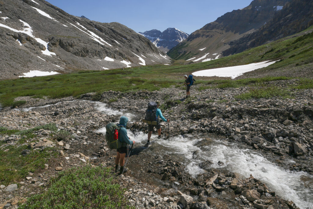
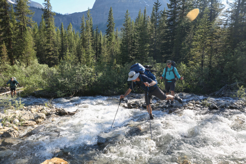
We took a mini break at the stream crossing to refill our water bottles. By the time we got going we had been at Badger area for 2 hrs 40 min. As I said before we were in no rush.
The trail started to head down and I heard Ken shout from the front “I hear water falling, where’s Shutterbug”. Shutterbug is the trail name Ken gave me during our hike around the Brazeau Loop in 2017. The Brazeau was our first hike together and somehow we are still hiking together.
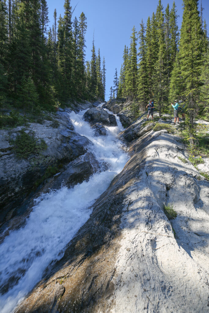
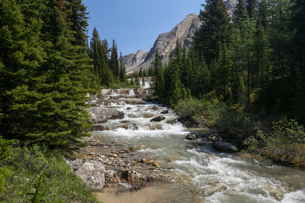
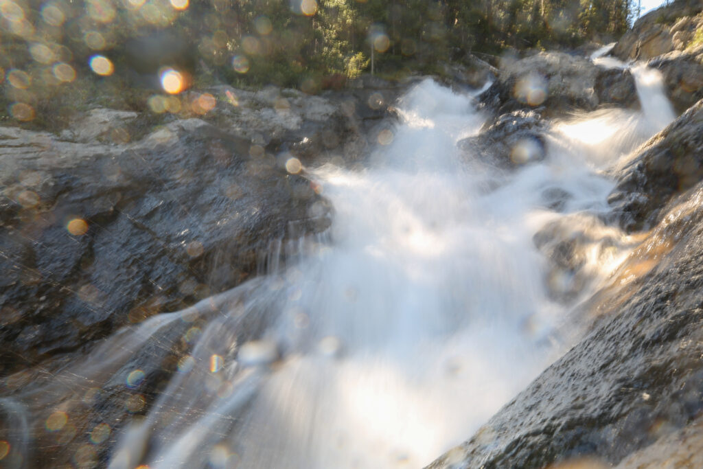
The waterfall was more an intense tumble. It was hard to really frame it and get a photo to capture the falls in their entirety. I did the best I could and we headed back out onto the trail. It was 4:40 pm and we still had a little more than 4 km to cover to arrive at camp.
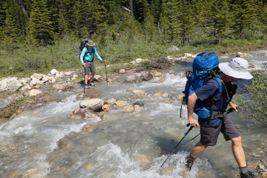
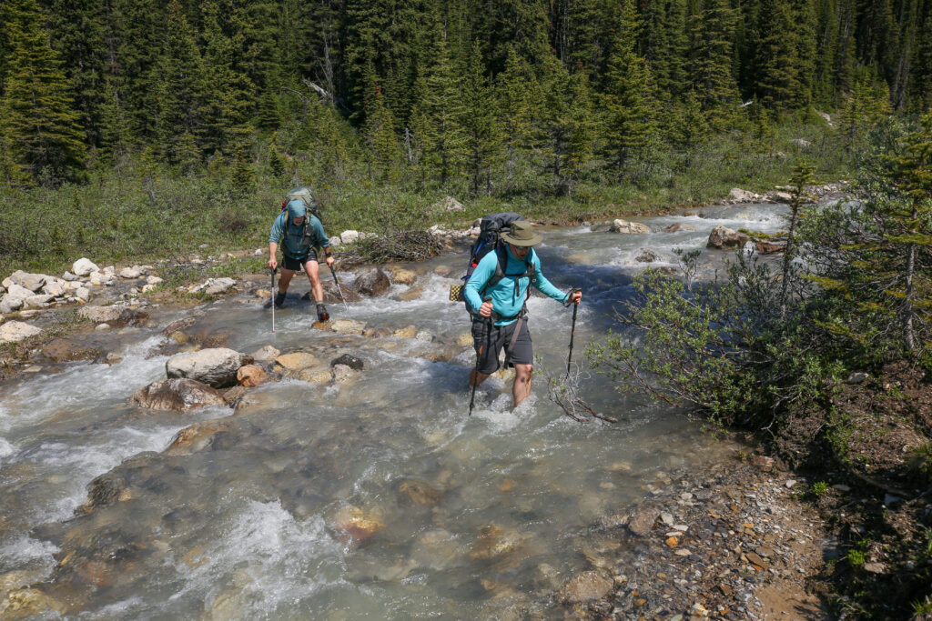
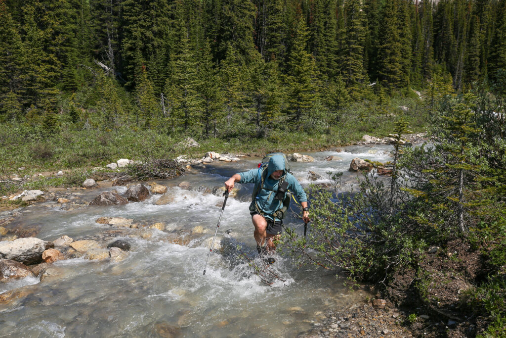
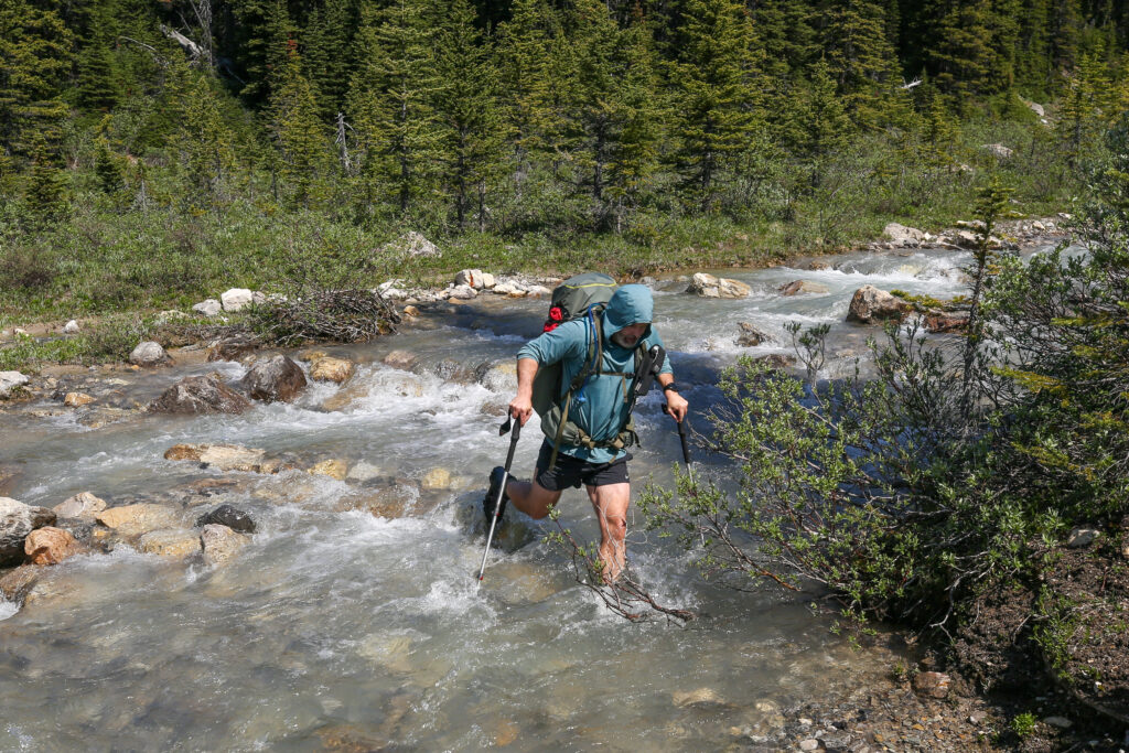
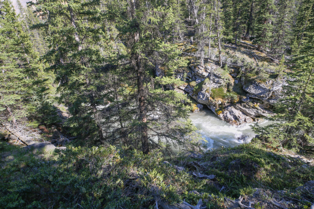
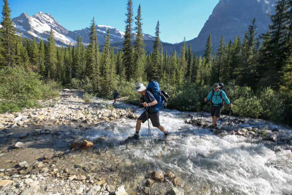
It was a steep but quick descent from the waterfall to the valley floor. The trail was a little rooty but walking was easy and I was expecting to make good time to the campground. Very quickly my expectations were dashed as the creek, which is actually the Cascade River, had overflowed its banks and flooded the trail.
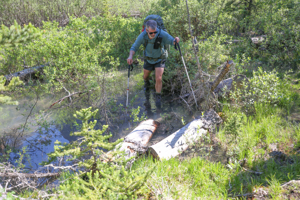
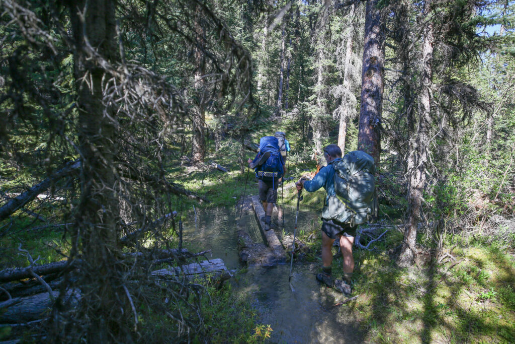
It was a little disappointing that there is a creek impeding our arrival to the campground. I guess it was not really a big deal as our feet were already soaked but it was disappointing.
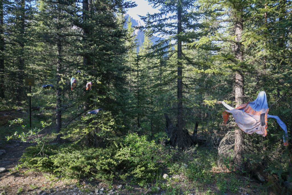
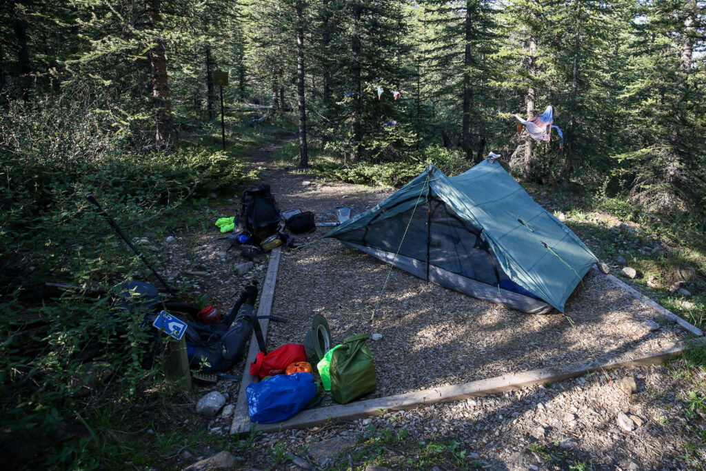
After getting the tent set up both Spencer and I did some laundry. After two sweaty days on the trail I decided to wash my shirt and give my socks a good wash. I hung up my clothes on the branches of a nearby tree. Spencer went upscale and made a clothes line with some light rope that he had brought.
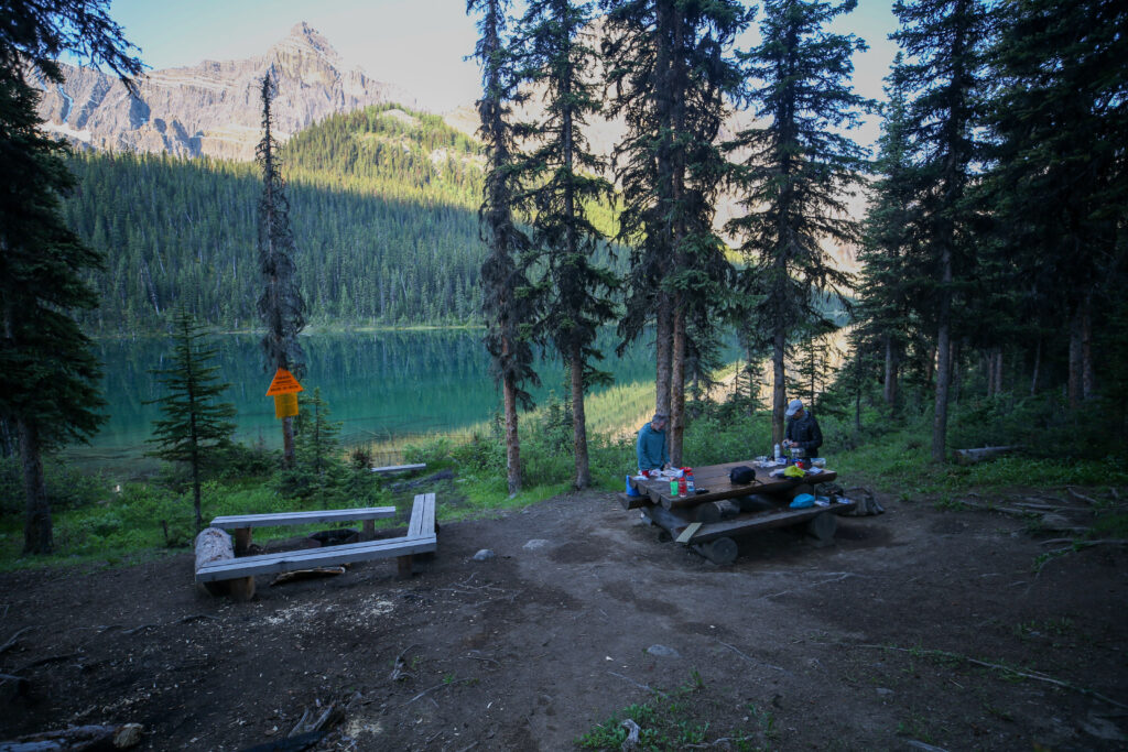
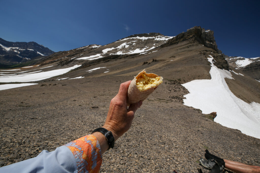
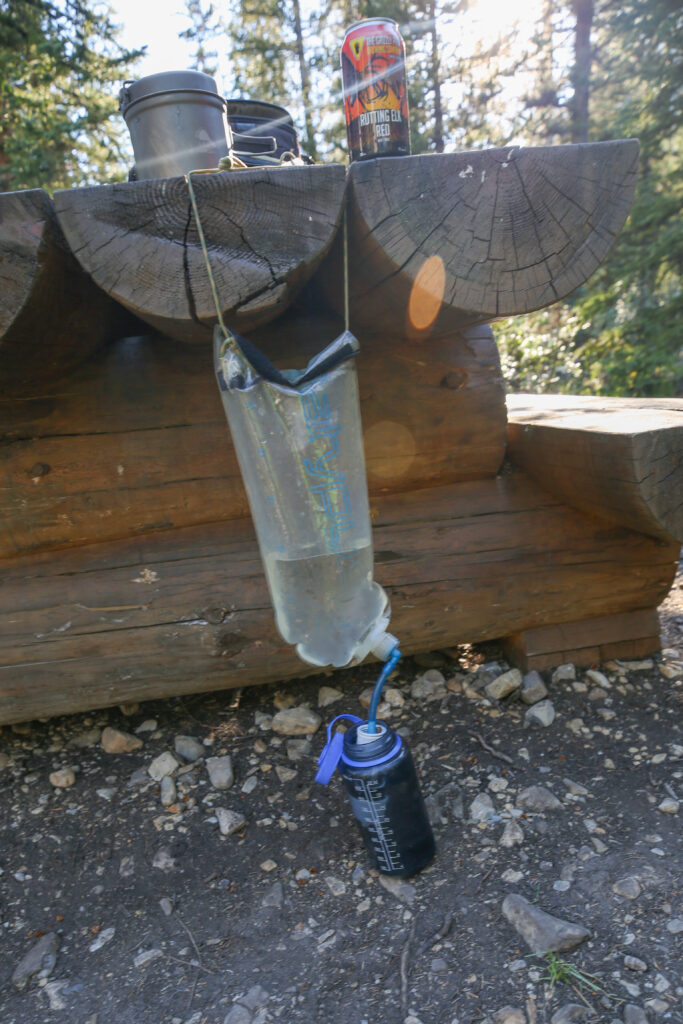
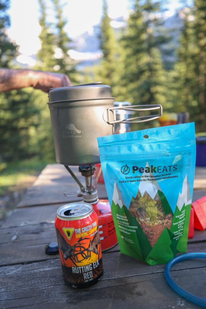
After completing my domestic chores I headed up to the eating area at about 7 pm. The eating area is quite pleasant but it is a fair way from the water source. For hydration I carry a water bladder with an inline Hydro Blue filter and a one litre bottle of Gatorade. At dinner time while I wait for the water to boil I use my water bladder to filter water into my water bottle to prep for tomorrow’s hike.
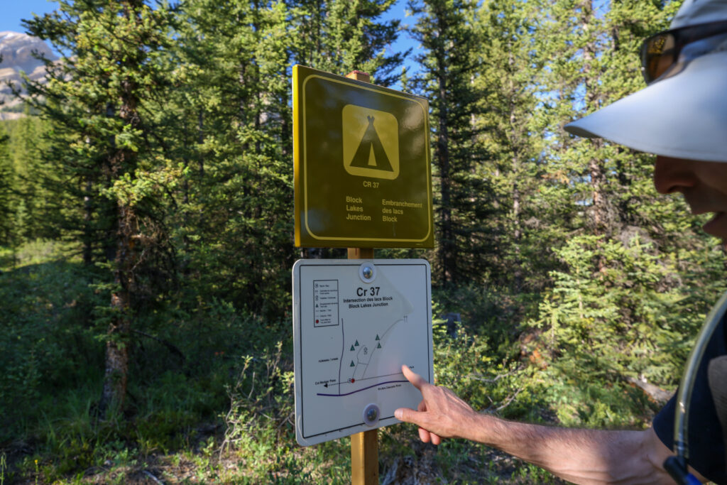
After dinner we poked around looking for a way across the Cascade River to the lakes that were the namesake of the campground. We could see no obvious way safely across the river or any evidence of trail on the other side. I do know that people have made it to Block Lakes to fish but the last post I found on the internet discussing fishing at Block Lakes was 2007. Once we were satisfied with our search we all headed back to the tents. Both Spencer and I read for bit before going to sleep. On this trip I was using a Kindle reading a Michael Connelly novel “The Resurrection Walk”. I love taking the Kindle on trail. It is light weight, you can load different books so you have a choice depending on you mood and provides its own light so you don’t need to use a headlamp to read. Today had been a good day on the trail.
Good night from Block Lakes Jnc.